Stage 7: Bonnieux/Mérindol Long Distance Mountain Bike Trail e-bike

Mountainbike
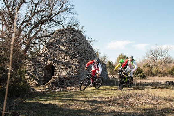
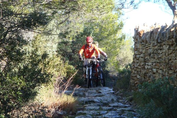
© Mathieu Vitre

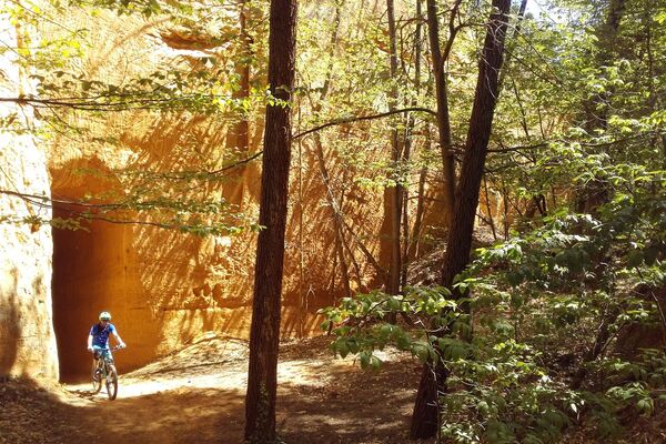
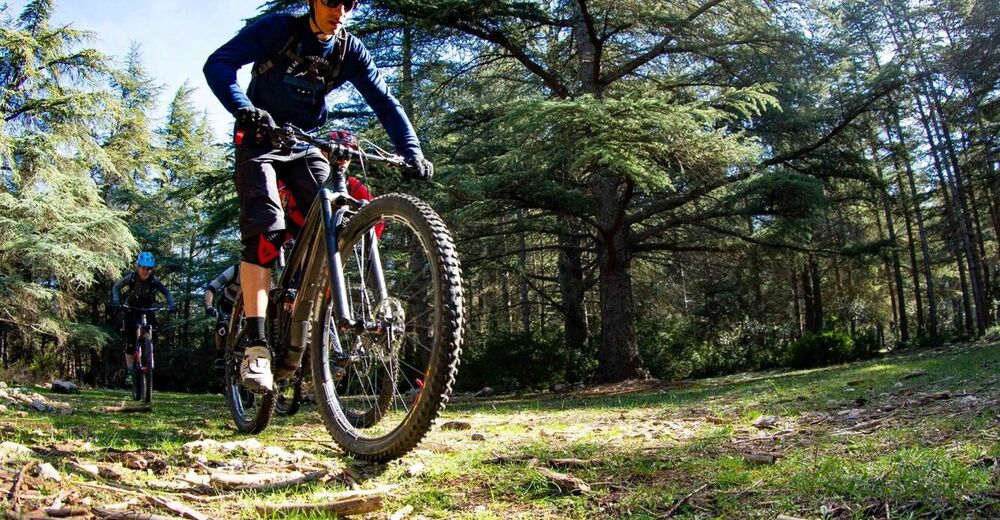
© VTTMag

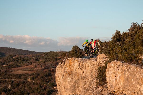
© VTTMag

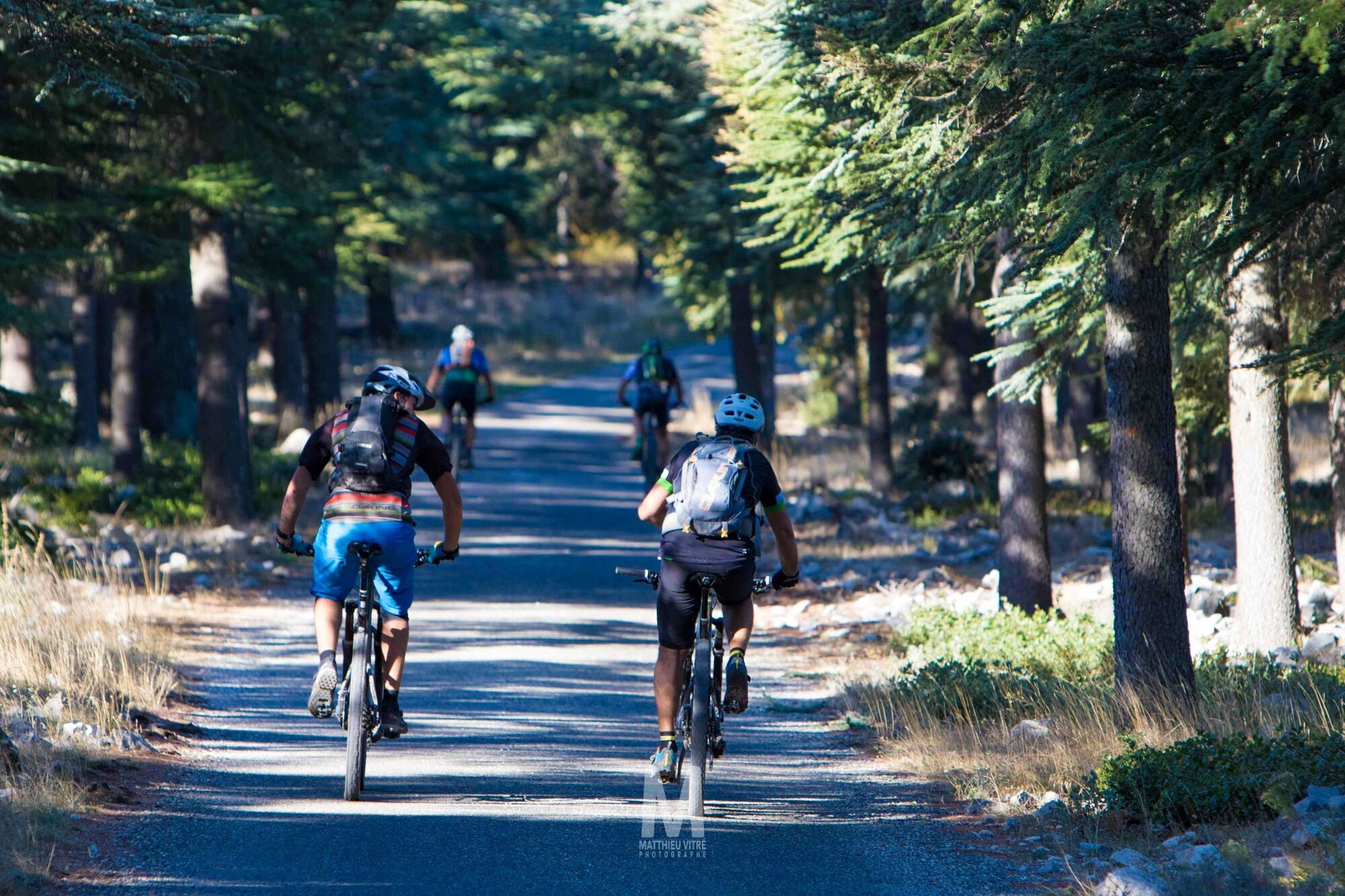
© Mathieu Vitre

- Kratak opis
-
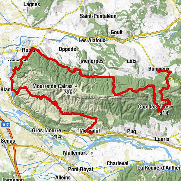
This is the longest stage of the Traversée de Vaucluse, which takes you from the cedar forest of Bonnieux in the direction of Petit Luberon. Enjoy the panoramic views of the hilltop villages of the Luberon, the Calavon plain, and the Monts de Vaucluse before a technical section in South-Luberon.
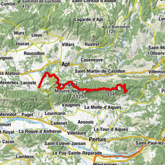
- Wegverlauf
-
Bonnieux0,0 kmFôret des Cèdres17,5 kmOppède-le-Vieux31,8 kmLe Petit Cafe31,9 kmMaubec34,8 kmRobion37,3 kmTaillades39,7 kmMérindol66,4 kmÉglise Sainte-Anne66,4 km
- Höchster Punkt
- 710 m
- Höhenprofil
-
 © outdooractive.com


- Autor
-
Die Tour Stage 7: Bonnieux/Mérindol Long Distance Mountain Bike Trail e-bike wird von outdooractive.com bereitgestellt.
GPS Downloads


Weitere Touren in den Regionen