


All outdoor activities of the Nice Côte d'Azur Metropolis are on https://outdoor.nicecotedazur.org
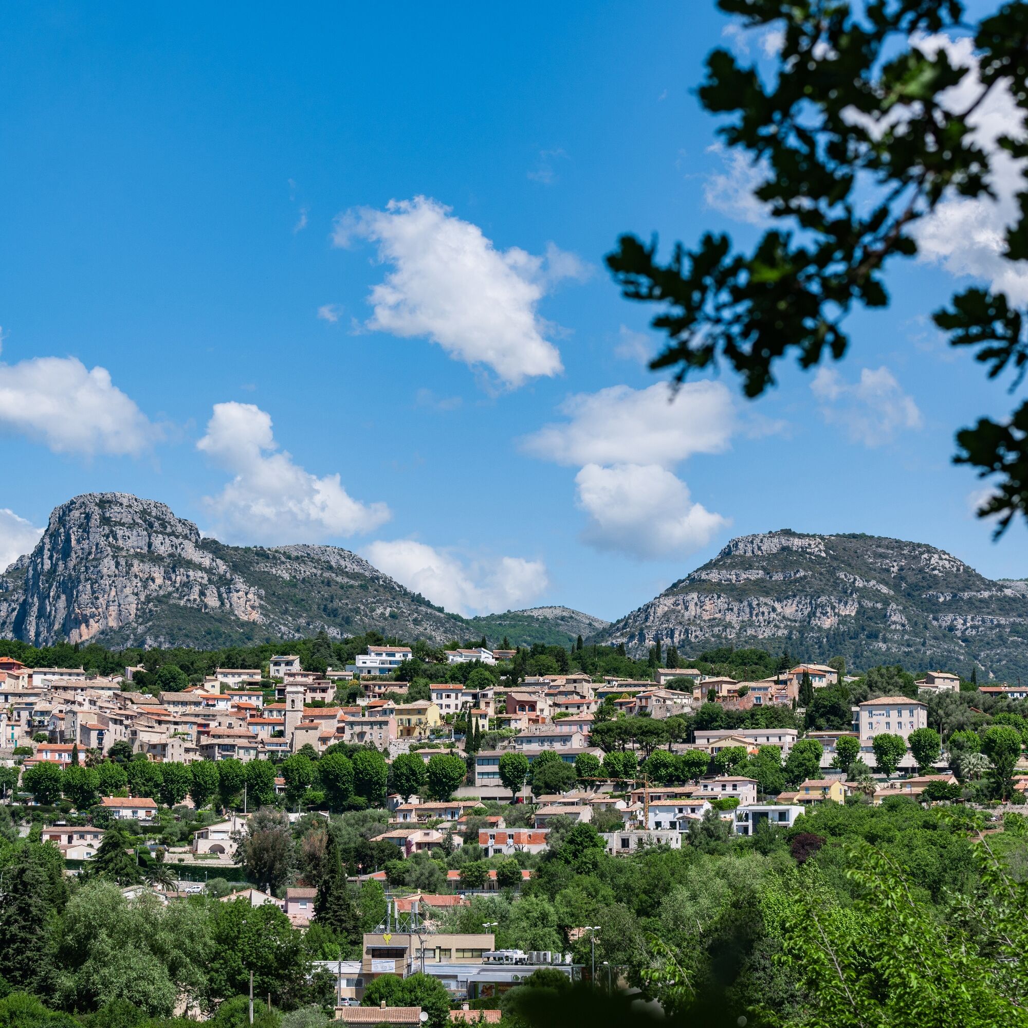
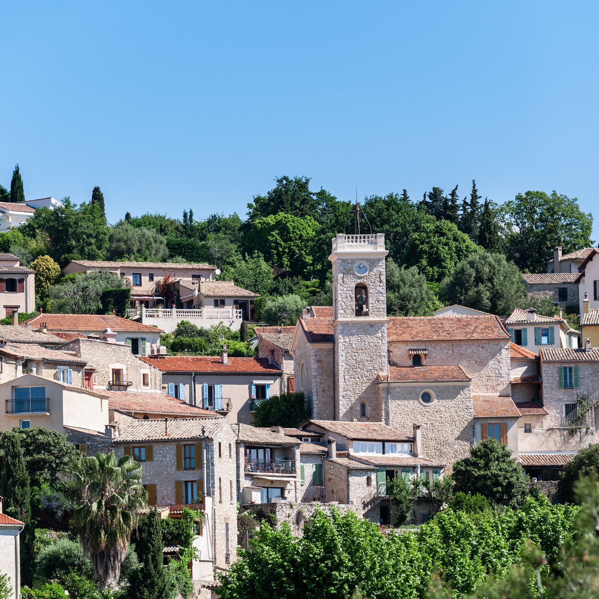
The start is located opposite the Town Hall. At the exit of the parking lot, turn left towards the village center which you cross. The route then leads to the foot of the village towards the Roman road "Aurélia." Before the water treatment plant, leave the "Aurélia" road by taking a path on the left that has some technical difficulties while allowing you to discover a small Roman bridge. This is followed by an ascent in the woods up to an intersection near a small oratory. Then turn left towards the north to take the Mont Gros path and the RM 118 on the protected passage, heading towards the stadium, which is also the second starting point of this loop. The track takes a right and runs along the former IBM research center. It offers a very beautiful view of the Var plain and the foothills of the Mercantour. At the end of this track, take a path that leads to the Vallons neighborhood and join the GR®653A. There again, very beautiful views towards the baous and Vence will delight you. Follow this path to the RM 118 crossroads which should be crossed completely to take the old Cagnes road. At the end of this path, cross the valley through a path that leads to the roundabout at the village entrance.
Alternative: Possible start from the stadium, next to the former IBM research center.
Yes
Wear a helmet, plan for protective equipment and repair accessories.
Watch the weather: Mountain weather changes quickly, plan for warm clothing.
The national park is a protected and regulated area: only use the trails authorized for mountain bikers
Follow the marked trails, do not take shortcuts and respect the direction of the routes.
Before starting on a route, check that it matches your level, check the condition of your mountain bike and leave your route details with someone.
Be cautious, courteous, and slow down when passing other users.
Be extra careful during hunting season and inquire about ongoing drives.
If you encounter livestock guardian dogs (= patous), dismount, avoid sudden movements and go around the herd.
Respect private properties, cultivated areas and close gates after passing.
Adopt an eco-friendly attitude: take your waste with you and respect the fauna and flora for preserved nature.
Always carry the IGN map corresponding to the route concerned.
See on lignedazur.fr
Free stadium parking
Free parking opposite the Town Hall
Popular tours in the neighbourhood
-
The "Route des Paysages" between the coast and the middle country of Nice
lightmotocikl 147,7 km -
Grande Randonnée® de Pays : Lou Camin Nissart
heavyDaljinska planinarska staza 44,7 km -
Tour du Cap-Ferrat
mediumPješačenje 8,99 km -
VTT FFC circuit no. 7 - The Olive Trees Loop
lightMountainbike 8,09 km -
Little hike in Nice: the Mont Boron route
lightPješačenje 5,13 km -
FFC mountain bike circuit no. 1: The Mont Chauve route
mediumMountainbike 11 km -
FFC bike circuit no. 5: on the Tour De France routes (big loop)
mediumCestovni bicikl 74,2 km -
FFC MTB route no. 25: The summit of Broc
mediumMountainbike 18,9 km -
MTB FFC circuit no. 50: le Calamel
mediumMountainbike 18,0 km -
Nice - Aspremont / Pagarine Route (stage 1)
mediumPješačenje 15,8 km
bergfex Tours


Ne propustite ponude i inspiraciju za vaš sljedeći odmor
Your e-mail address has been added to the mailing list.