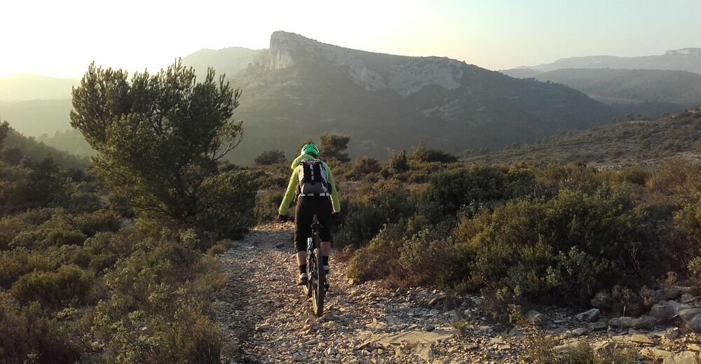
© Eric Garnier

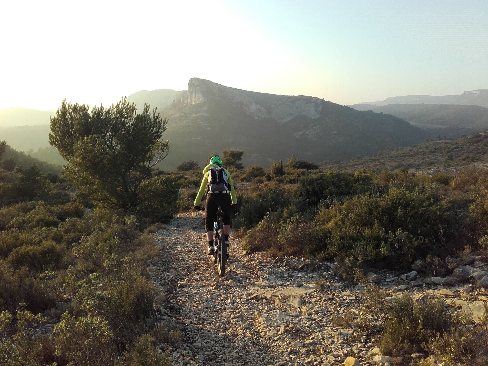
© Dominique Bottani

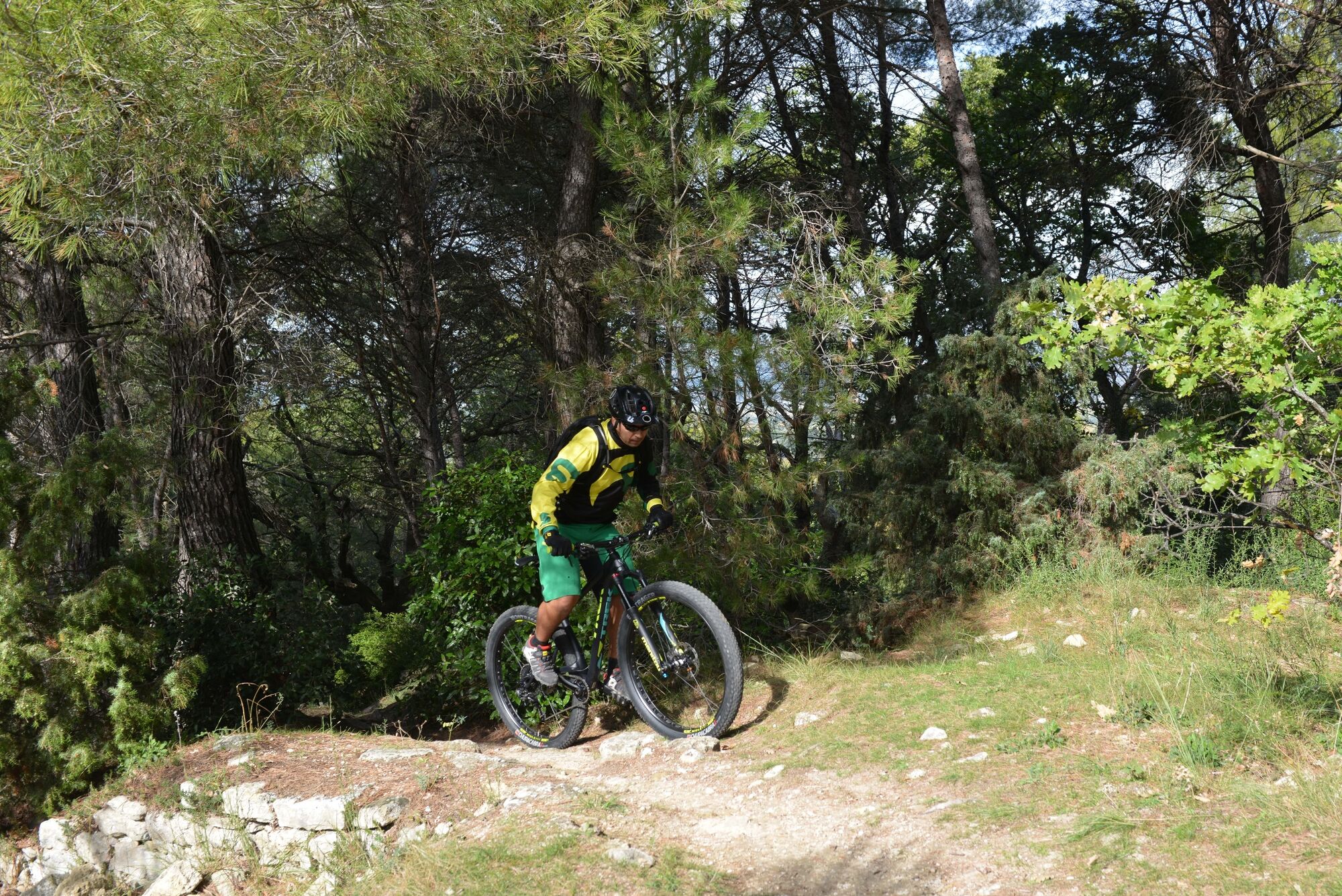
© Matthieu Vitré

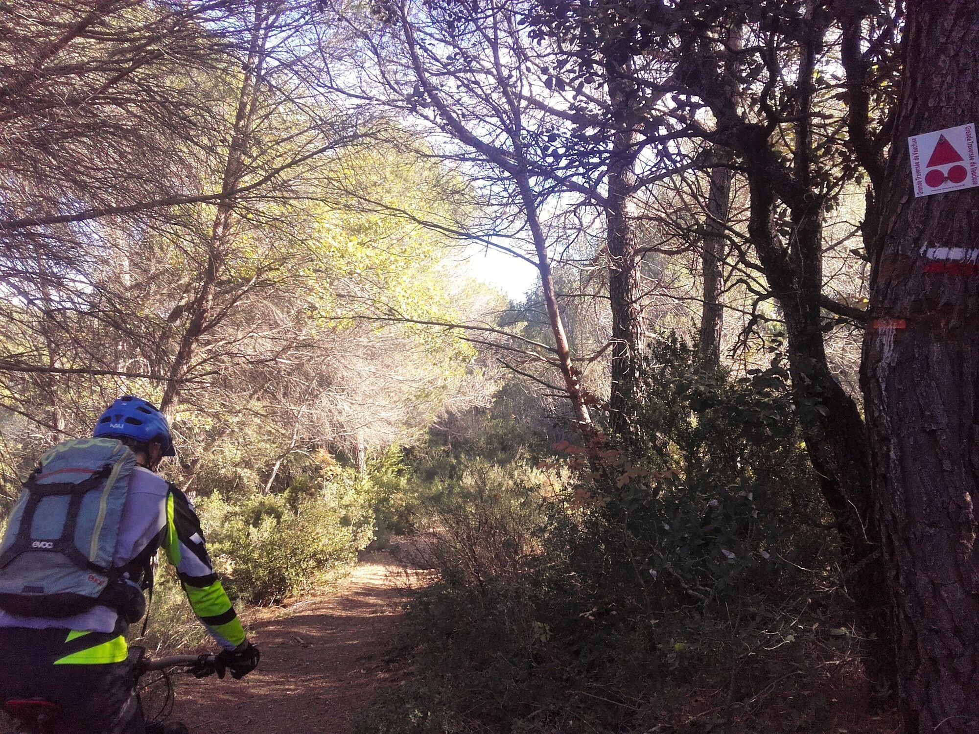
© Eric Garnier

© Eric Garnier


- Kratak opis
-
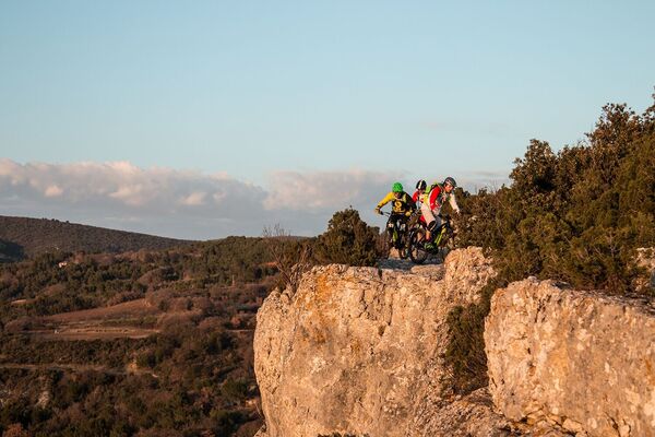
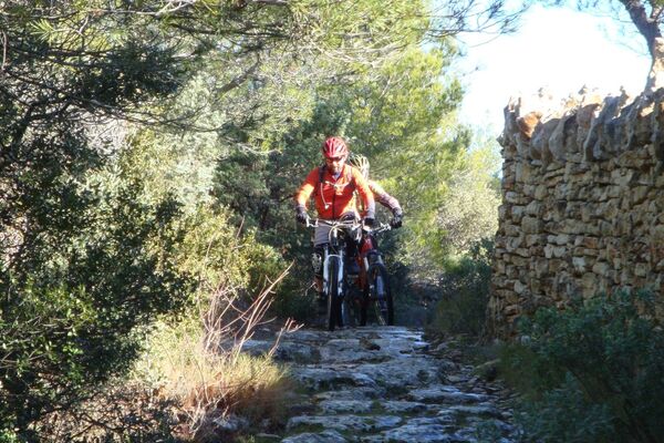
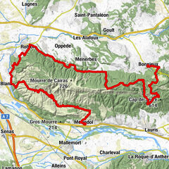
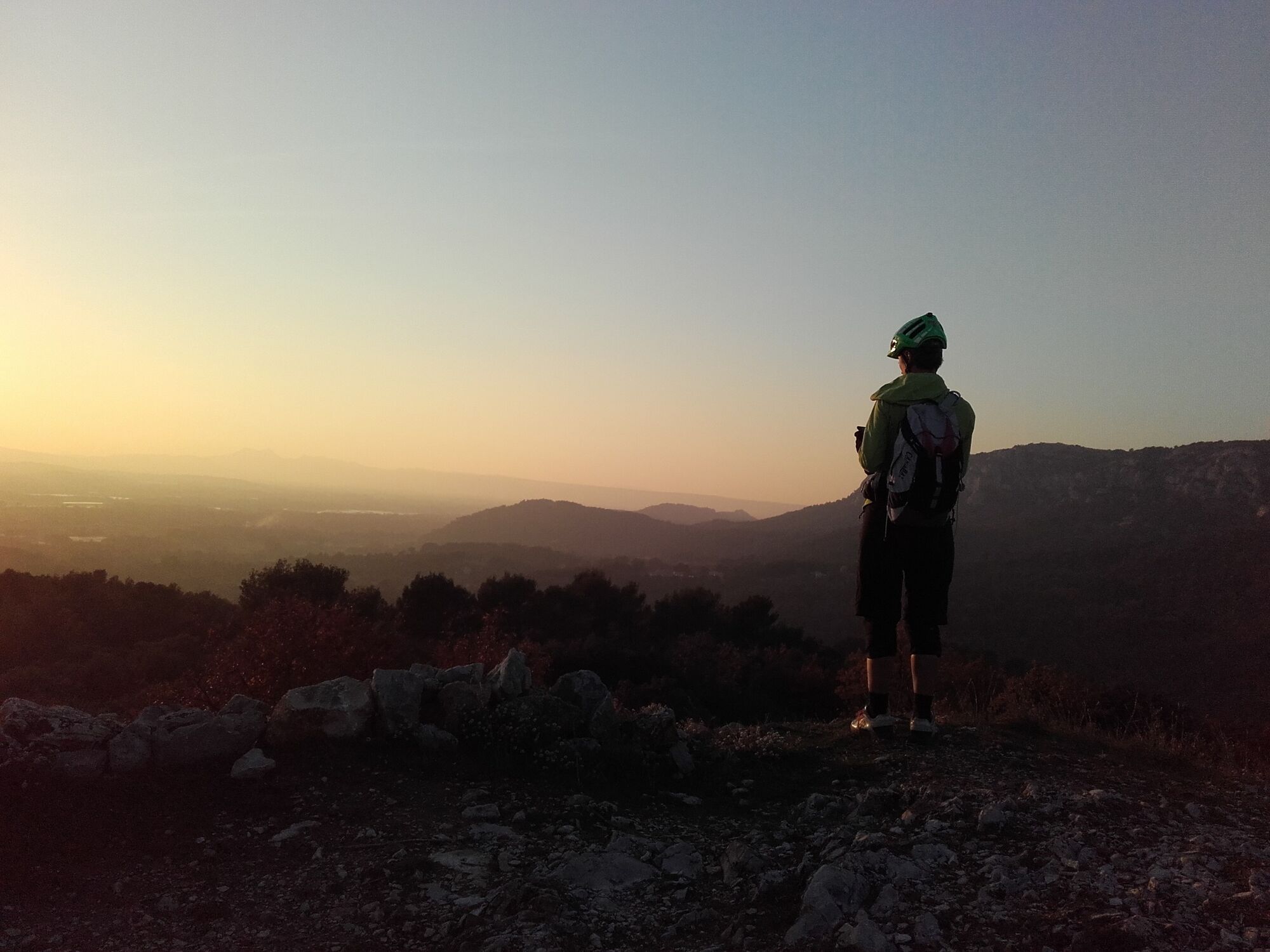
A great trip to the land of sheep and birds of prey! Craux, pines, garrigues, rocks, cliffs, Egyptian vultures, panoramic views... A typical cocktail of the southern face of the Petit Luberon, and the high points of the Luberon's tragic Vaudoise epic.
- Teškoća
-
srednje
- Vrednovanje
-
- Wegverlauf
-
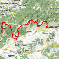
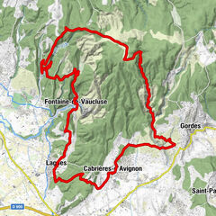
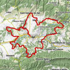
Église Sainte-Anne0,2 kmMérindol0,2 kmLa Tuilère4,4 kmRiofret4,8 kmMérindol27,1 km
- Beste Jahreszeit
-
sijveljožutrasvilipsrpkolrujlisstupro
- Höchster Punkt
- 437 m
- Zielpunkt
-
Mérindol
- Höhenprofil
-
 © outdooractive.com

- Autor
-
Die Tour MTB no.37 - Craux du Petit Luberon wird von outdooractive.com bereitgestellt.
GPS Downloads


Weitere Touren in den Regionen