© Vaucluse Provence - M. Coquard

© http://www.theatre-antique.com/ - Gromelle Grand Angle

© Orange-Tourisme

© Wake up and Travel

© chateauneuf du pape© Alain Hocquel-8749

© Pays d'Orange Tourisme

© Pays d'Orange Tourisme

© Pays d'Orange Tourisme -RP

© Pays d'Orange Tourisme - RP

© Pays d'Orange Tourisme - RP

- Kratak opis
-
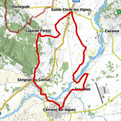
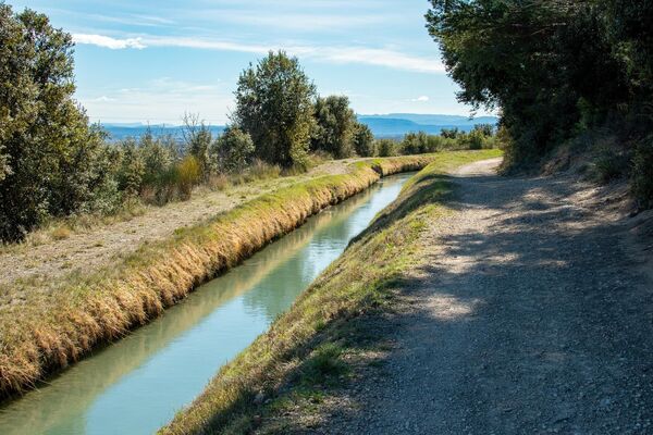
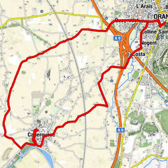
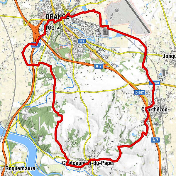
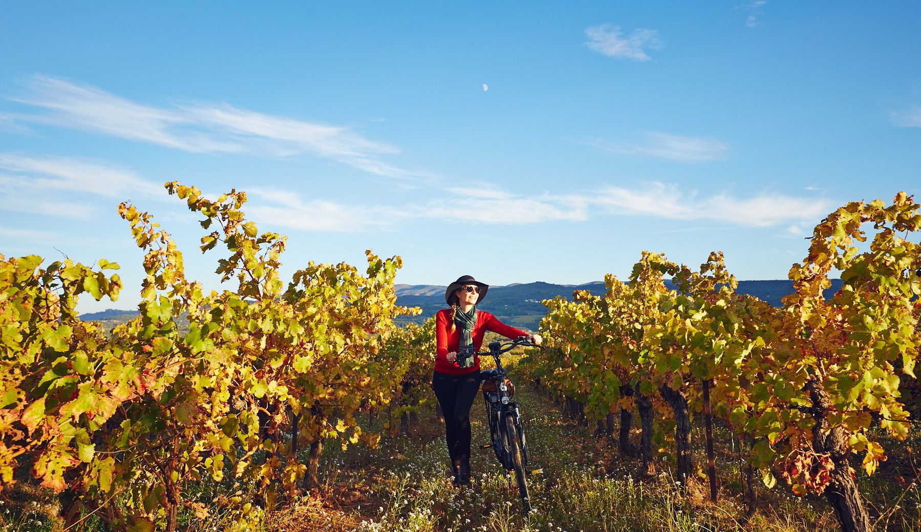
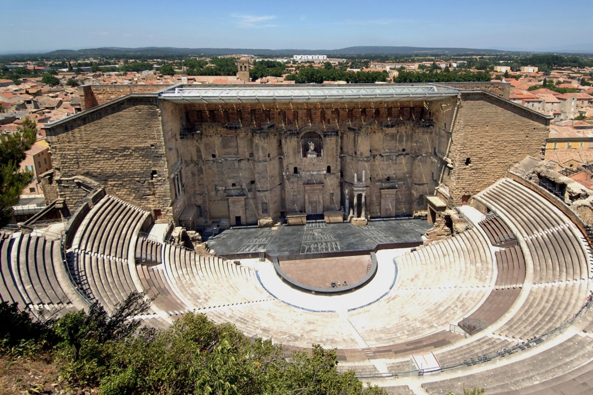
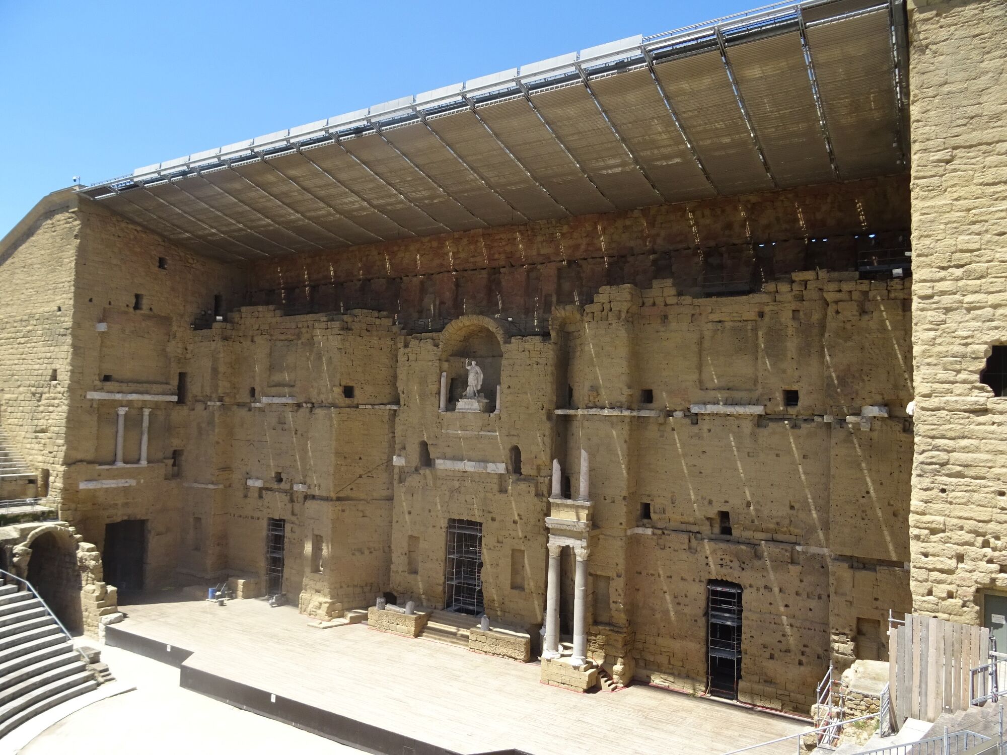
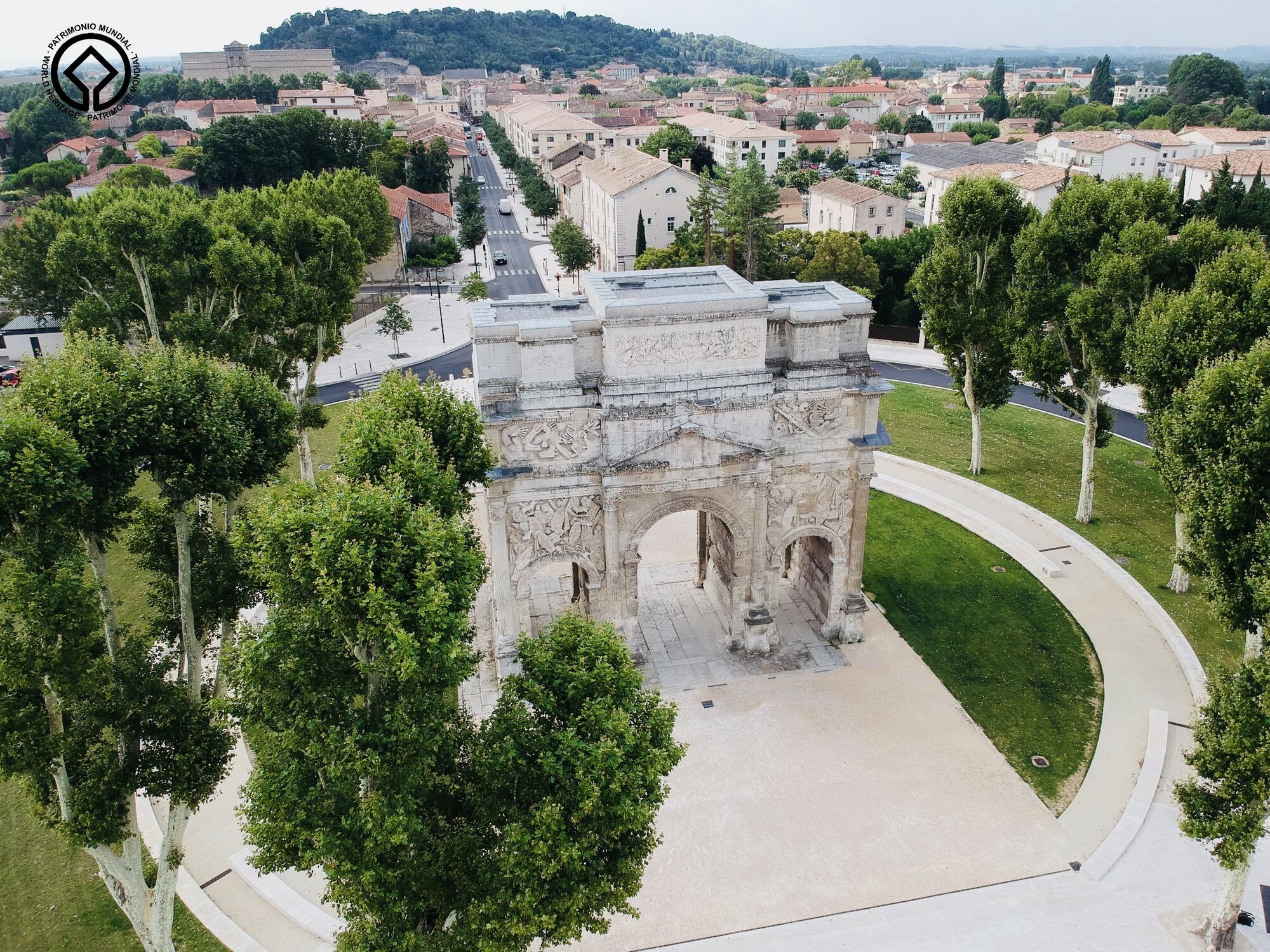
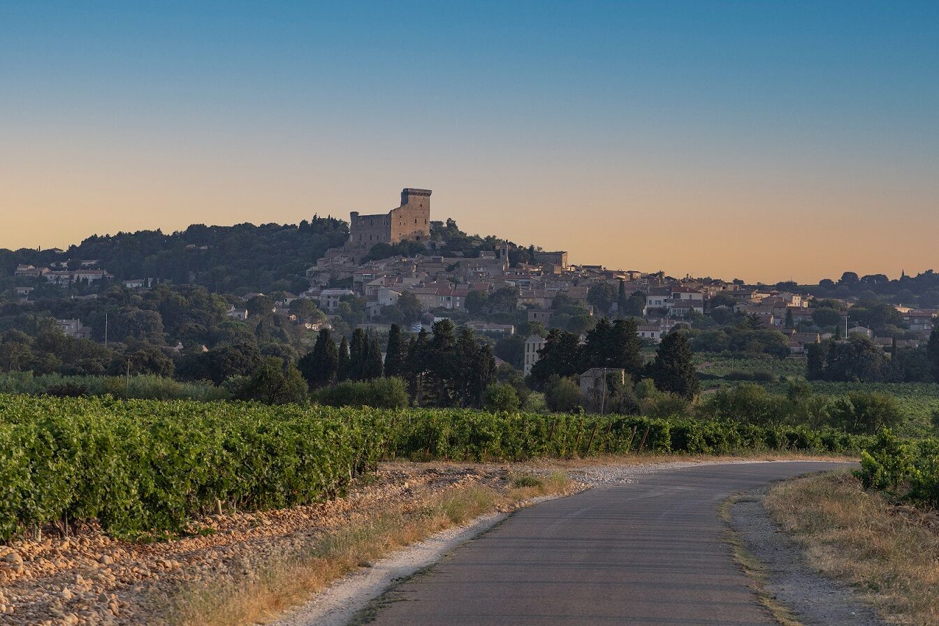
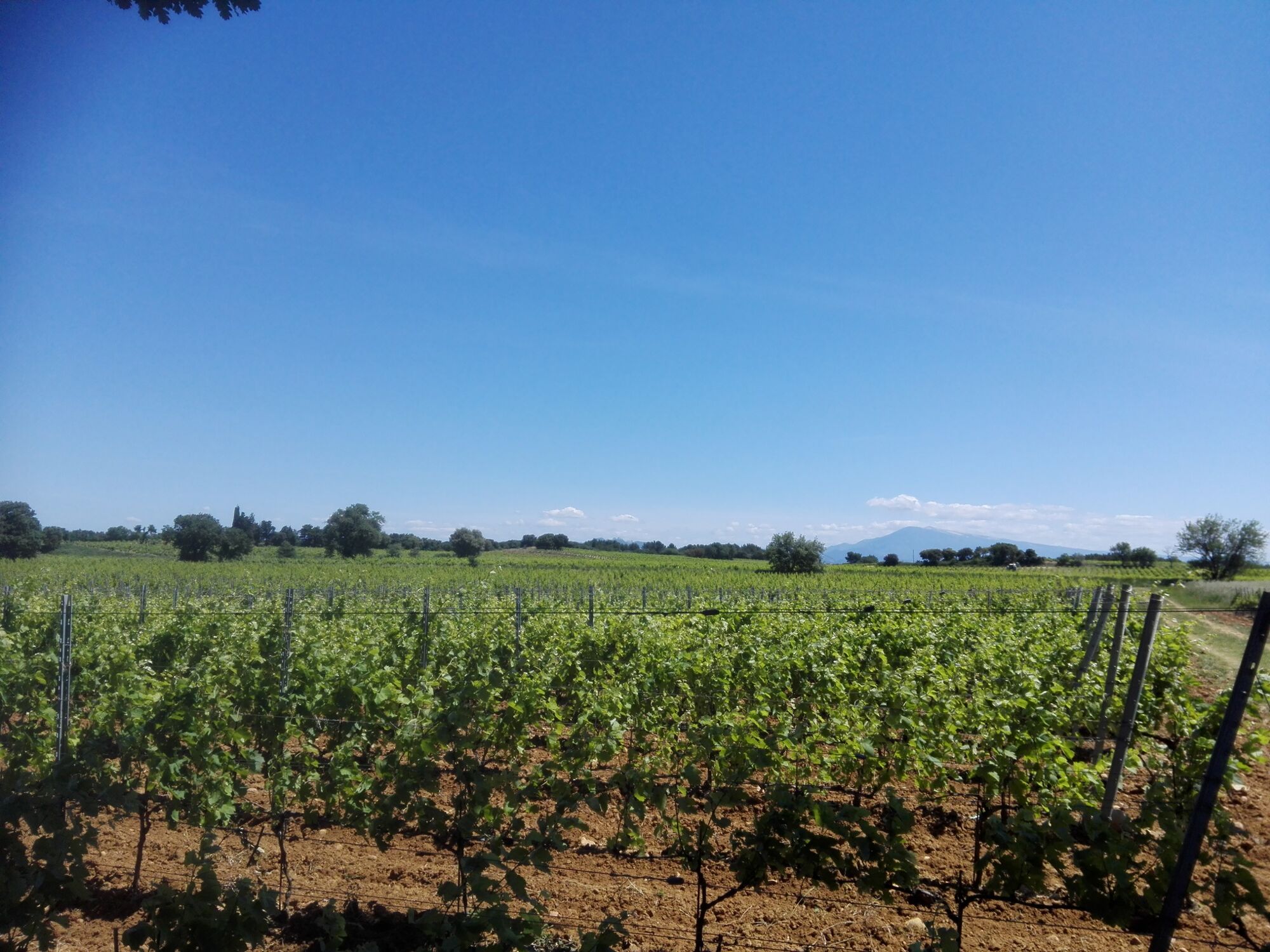
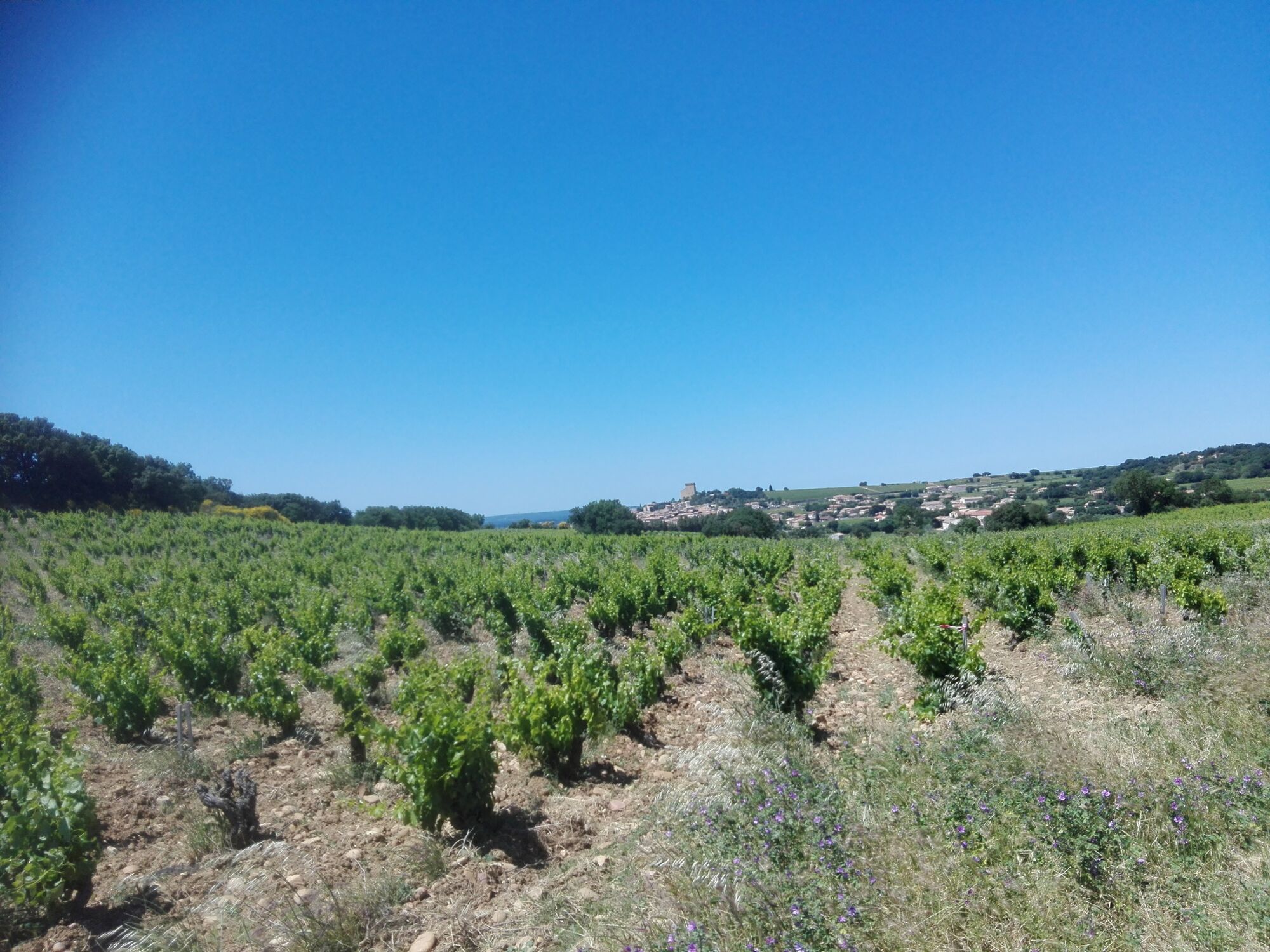
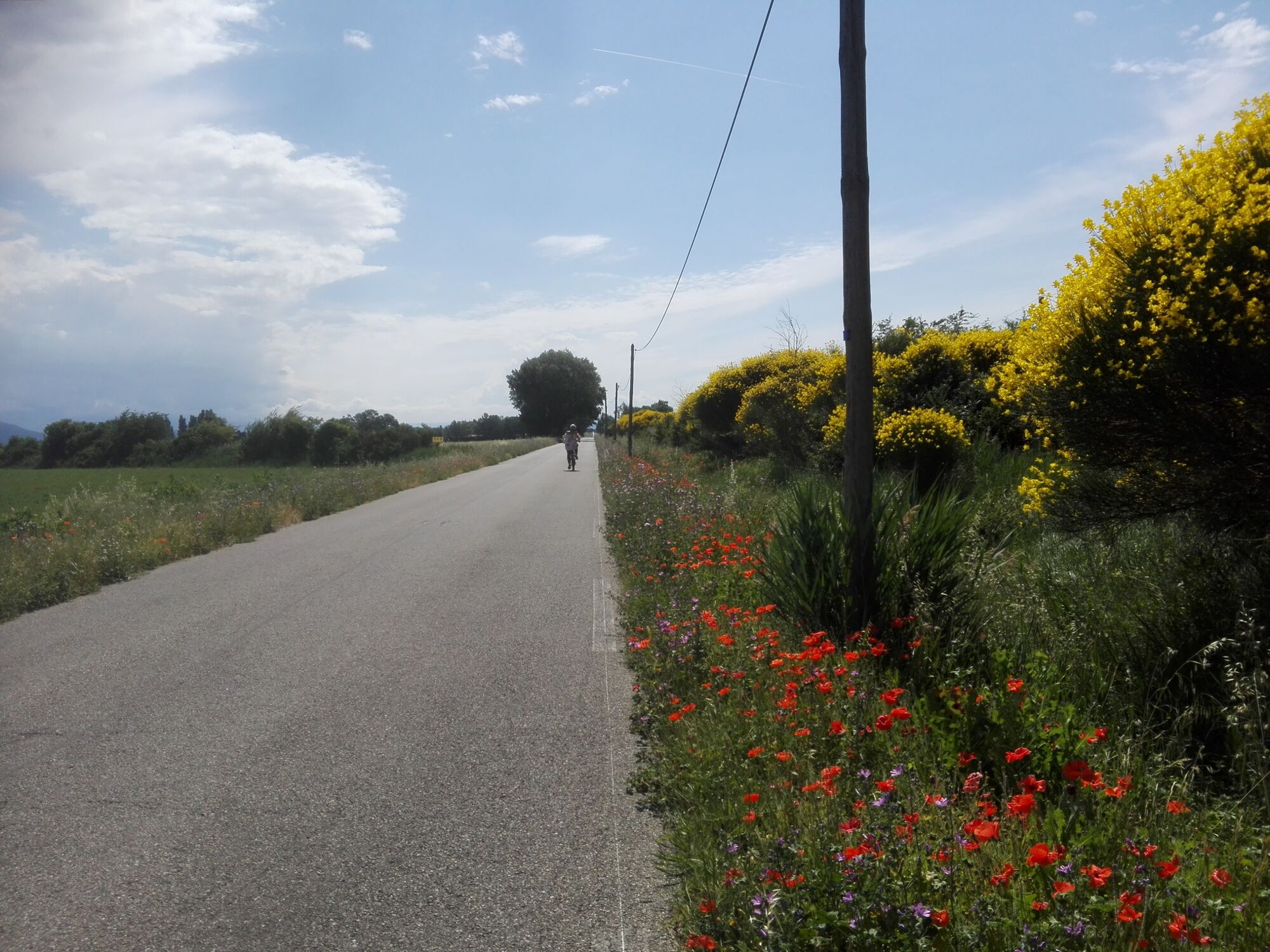
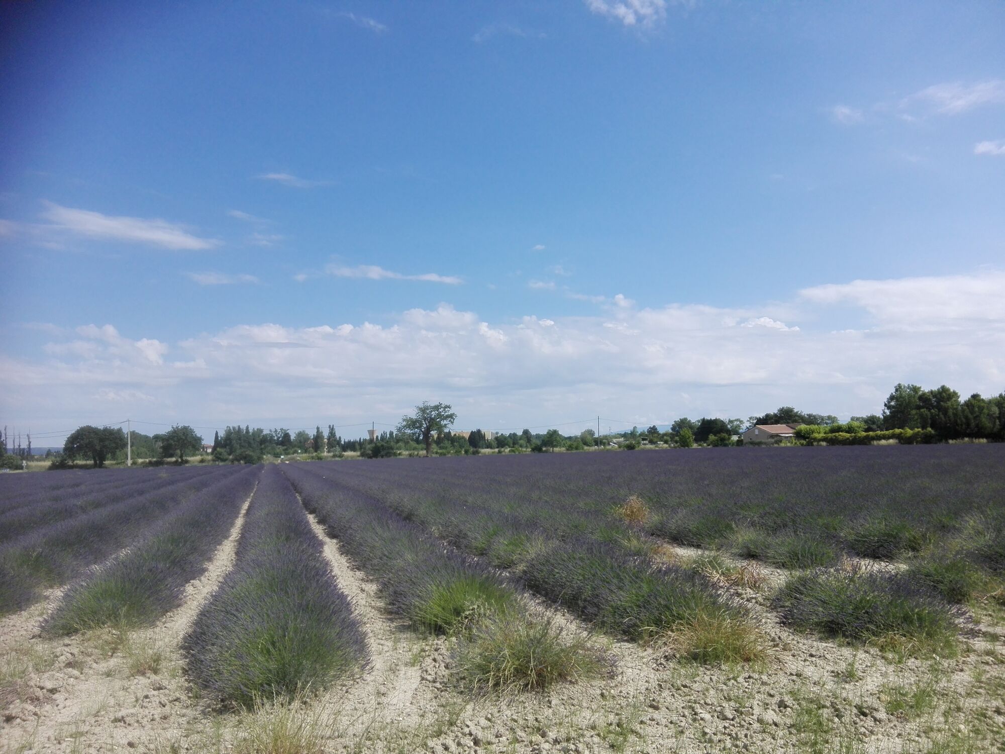
Leaving from Orange, this trail provides a breathtaking view over the Dentelles de Montmirail and Mont Ventoux. You’ll ride through the hills of the vineyards of Orange, Courthezon and Châteauneuf-Du-Pape. Varied and hilly landscapes.
- Teškoća
-
teška
- Vrednovanje
-
- Wegverlauf
-
TanneursColline Saint-Eutrope0,2 kmOrange0,5 kmÉglise Saint-Florent0,6 kmChapelle Hôtel Dieu0,6 kmBaron0,9 kmLa Gare1,7 kmLa Baussenque3,9 kmLe Clos11,6 kmChapelle Saint-Pierre11,8 kmCourthézon12,0 kmLa Font Du Pape18,7 kmChâteauneuf-du-Pape19,7 kmLa Cerise19,9 kmPradel23,4 kmCosta32,5 kmLe Grenouillet32,8 kmNogent32,8 kmLes Arènes33,6 kmTanneurs34,0 kmOrange34,1 km
- Beste Jahreszeit
-
sijveljožutrasvilipsrpkolrujlisstupro
- Höchster Punkt
- 112 m
- Zielpunkt
-
Orange
- Höhenprofil
-
 © outdooractive.com
- Autor
-
Die Tour Cycle route: From the stone to the pebbly terroir wird von outdooractive.com bereitgestellt.
GPS Downloads


Weitere Touren in den Regionen