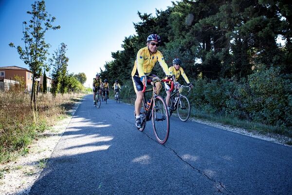
© G. Kessler

- Kratak opis
-
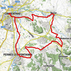
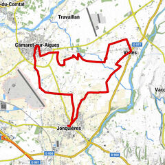
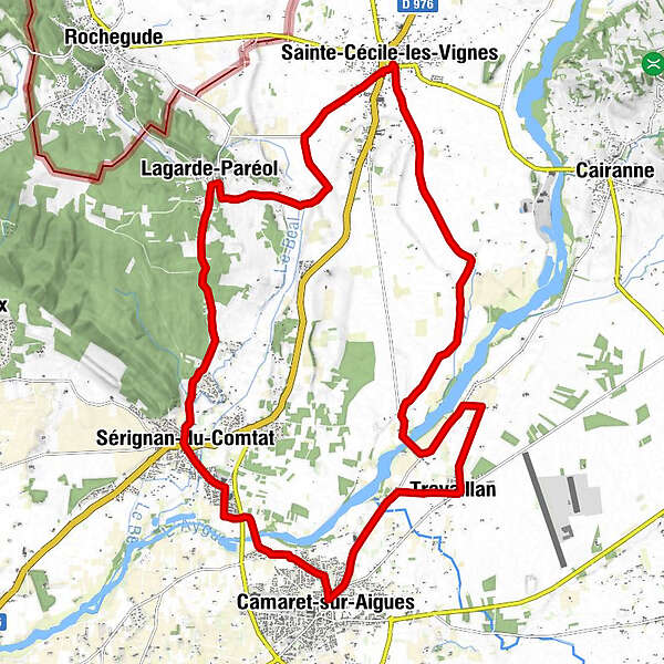
Distance 25 km – Easy level – Signposted circuit - Parking: “Jardin de la fontaine”, next to the bocce ball playing area, opposite the road to Lagarde Paréol on the periphery road around the town
- Wegverlauf
-
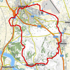
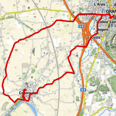
Sainte-Cécile-les-VignesLagarde-Paréol4,9 kmLes Soleyrades8,2 kmPellegrin8,6 kmSérignan-du-Comtat9,5 kmÉglise Saint-Étienne9,6 kmRameyron10,8 kmCamaret-sur-Aigues13,6 kmVieux Travaillan15,3 kmTravaillan16,7 kmBistrot de Pays Chez Gégène16,8 kmSaint-Jean17,3 kmSaint-Paul18,1 kmÉglise Sainte-Cécile27,1 kmSainte-Cécile-les-Vignes27,2 km
- Höchster Punkt
- 153 m
- Höhenprofil
-
 © outdooractive.com
- Autor
-
Die Tour 9 - The Plan de Dieu vineyards between Aygues and Ouvèze wird von outdooractive.com bereitgestellt.
GPS Downloads


Weitere Touren in den Regionen