© Droits libres

© Droits libres principale

© Droits libres dénivelé

- Kratak opis
-
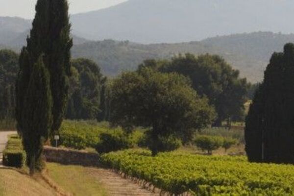
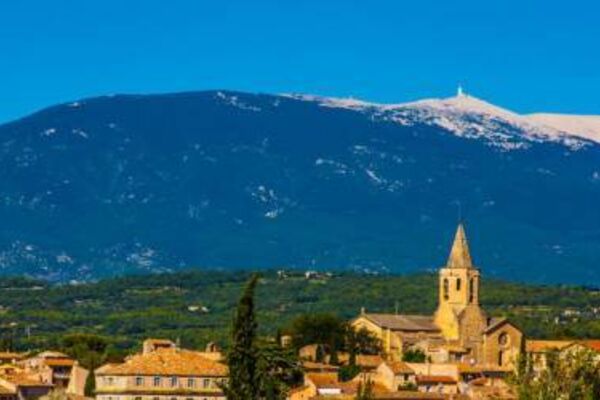
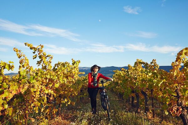
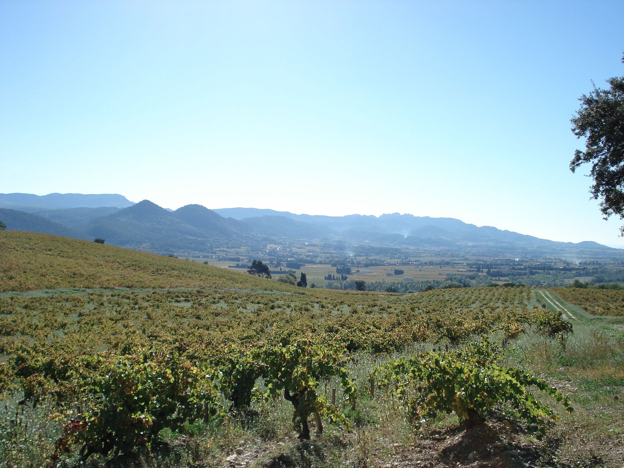
In the heart of the prestigious Côtes du Rhône vineyards, discover the villages of Vacqueyras, Gigondas, Beaumes-de-Venise, Sablet... against a backdrop of the Dentelles de Montmirail and Mont Ventoux.
- Teškoća
-
srednje
- Vrednovanje
-
- Wegverlauf
-
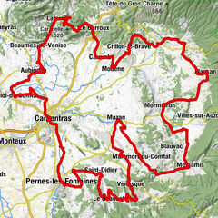
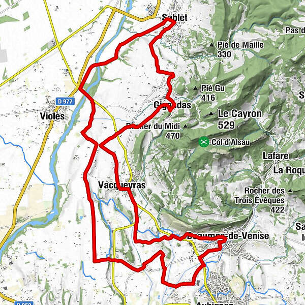
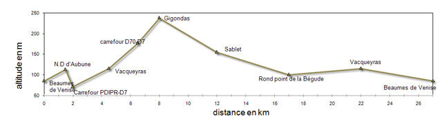
Beaumes-de-VeniseLes Plantades1,1 kmOrange11,2 kmLa Clapière11,5 kmFontimple11,8 kmLes Prés13,5 kmLa Baumette14,0 kmSablet18,6 kmVerquière18,7 kmCharençon23,1 kmLa Payouse23,4 kmGigondas23,7 kmDerrière Vielle23,8 kmLa Gardette24,2 kmLe Roi25,2 kmLes Parties25,3 kmDevine25,3 kmLe Tronc26,2 kmLa Fourmonne26,4 kmFontimple27,0 kmChapelle Notre-Dame-la-Brune28,3 kmVacqueyras28,9 kmCafé du Cours29,2 kmChapelle de Notre-Dame-d'Aubune33,5 kmBeaumes-de-Venise34,9 kmÉglise Saint-Nazaire35,0 km
- Beste Jahreszeit
-
sijveljožutrasvilipsrpkolrujlisstupro
- Höchster Punkt
- 239 m
- Zielpunkt
-
Beaumes-de-Venise
- Höhenprofil
-
 © outdooractive.com

- Autor
-
Die Tour 32 - The landscapes of the Côtes du Rhône wird von outdooractive.com bereitgestellt.
GPS Downloads


Weitere Touren in den Regionen