© Terra Dinarica - planinarenje .ba

© Terra Dinarica - planinarenje .ba

© Terra Dinarica - planinarenje .ba

© Terra Dinarica - planinarenje .ba

© Terra Dinarica - planinarenje .ba

- Kratak opis
-
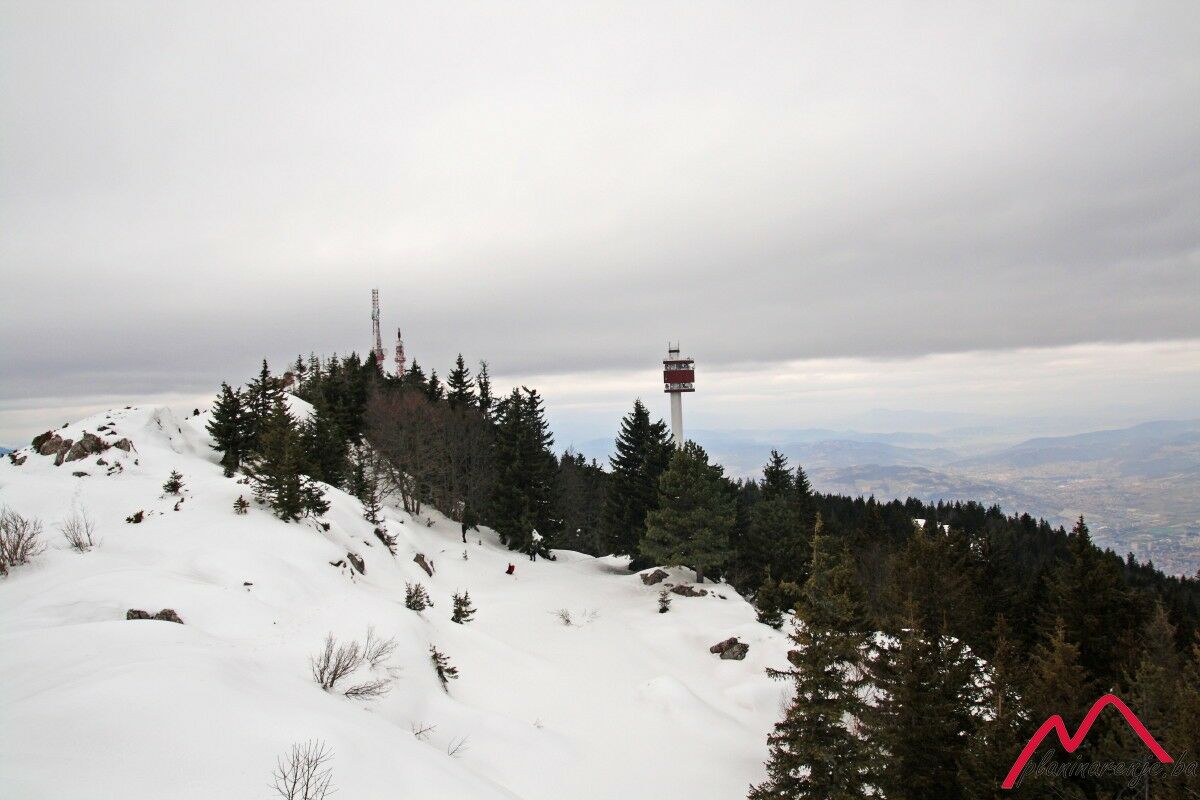
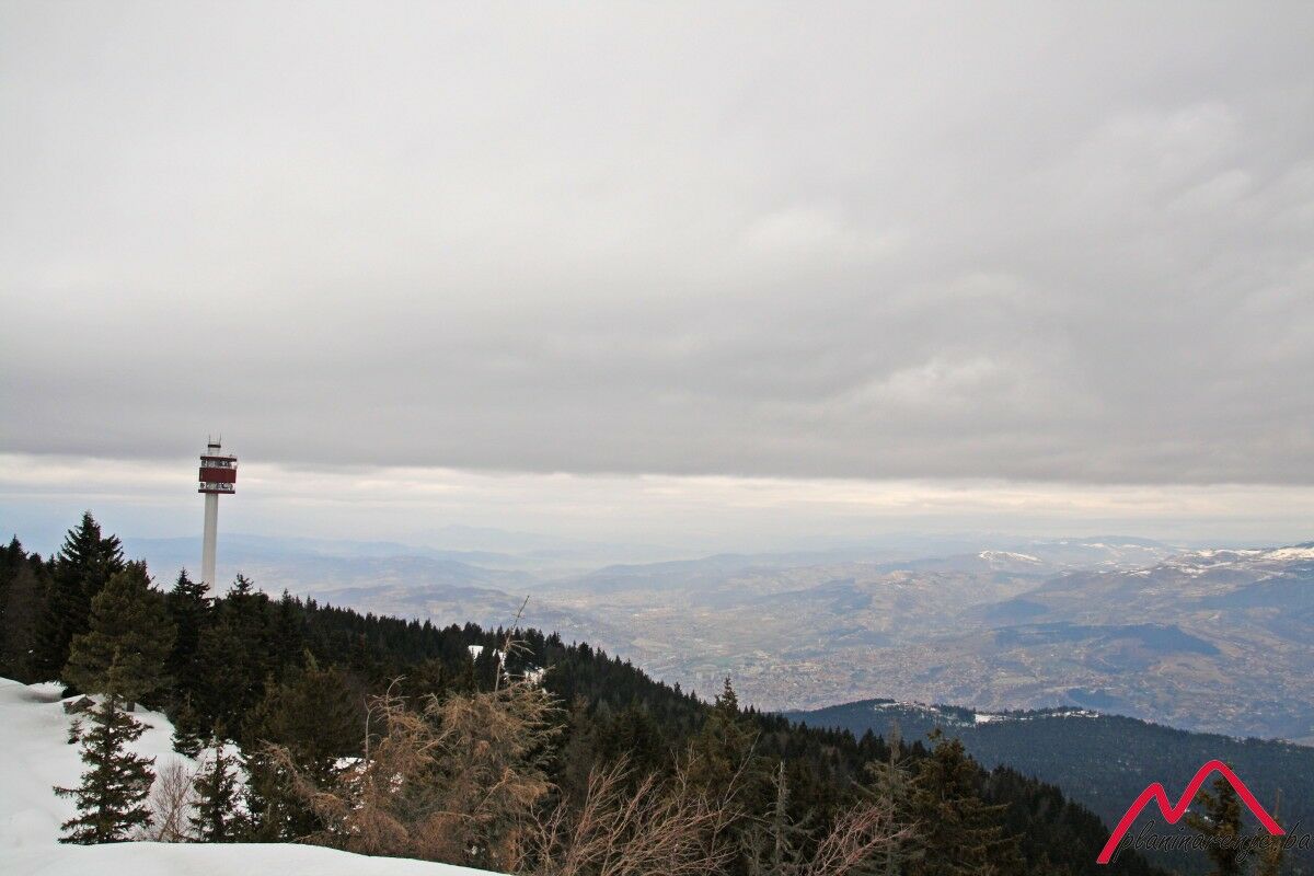
It is a pleasant tour along easily traversable trail which goes through coniferous forest and allows one to get to grips with moderately high altitude due to gradual climb via long serpentine trails. The pay-off comes in the form of an attractive ridge on the Sofe summit, offering a view of the major portion of the area of Bosnia and Herzegovina.
- Wegverlauf
-
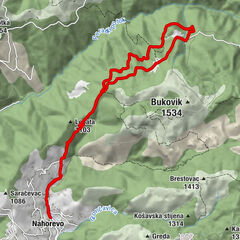
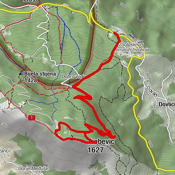
Brus0,1 kmPD Dobre vode1,2 kmTrebević-Sofe (1.627 m)4,4 kmBrus9,1 km
- Höchster Punkt
- 1.599 m
- Zielpunkt
-
Sofe peak
- Höhenprofil
-
 © outdooractive.com
-

-
AutorDie Tour Brus - Sofe wird von outdooractive.com bereitgestellt.