© Terra Dinarica - Olja Latinovic

© Terra Dinarica - Via Dinarica BiH

© Terra Dinarica - Olja Latinovic


- Kratak opis
-
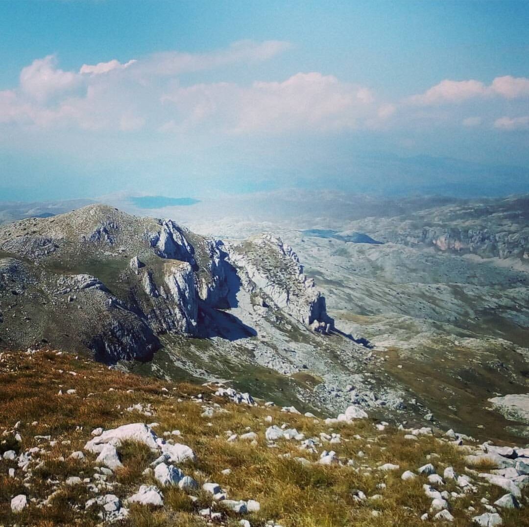
Demanding hike with breathataking views over Lelija and Zelengora mountains.
- Teškoća
-
srednje
- Vrednovanje
-
- Wegverlauf
-
Drhtar (1.970 m)14,9 kmJavić (1.902 m)18,3 km
- Beste Jahreszeit
-
sijveljožutrasvilipsrpkolrujlisstupro
- Höchster Punkt
- 1.956 m
- Zielpunkt
-
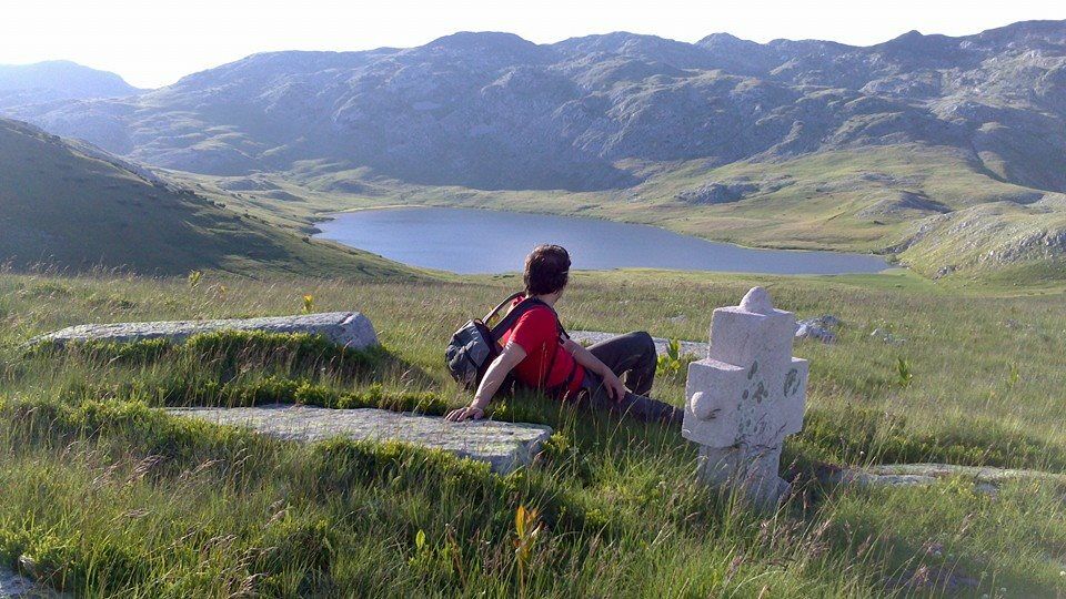
Štirinsko lake
- Höhenprofil
-
 © outdooractive.com

-

-
AutorDie Tour Explore Mt Lelija from Obalj via Drhtar and Javić peaks wird von outdooractive.com bereitgestellt.