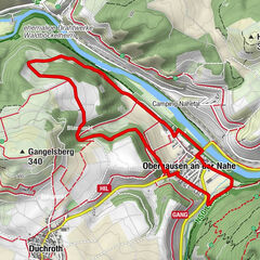
© Naheland-Touristik GmbH - P. Bender
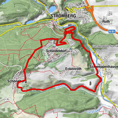
© Naheland-Touristik GmbH - P. Bender
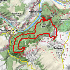
© Naheland-Touristik GmbH - P. Bender

© Naheland Touristik GmbH - P. Bender
© Naheland Touristik GmbH - P. Bender
- Kratak opis
-
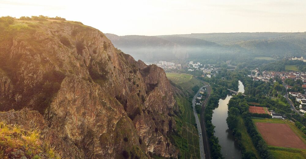
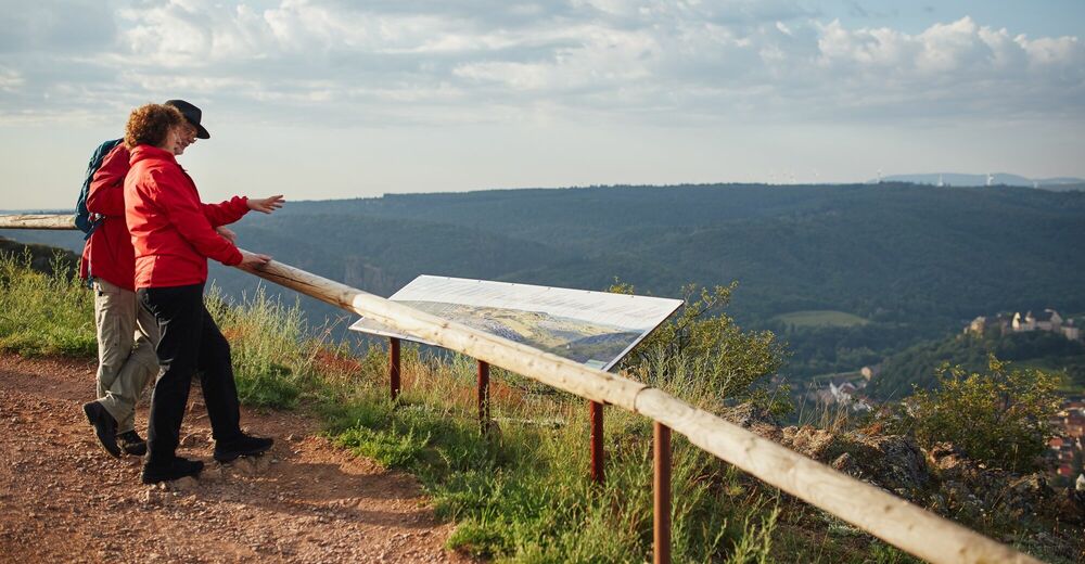
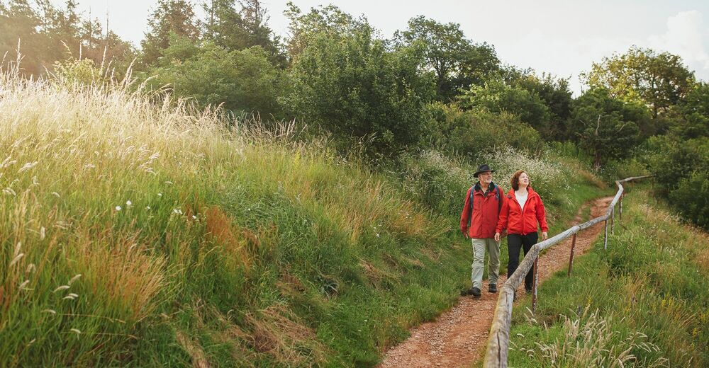
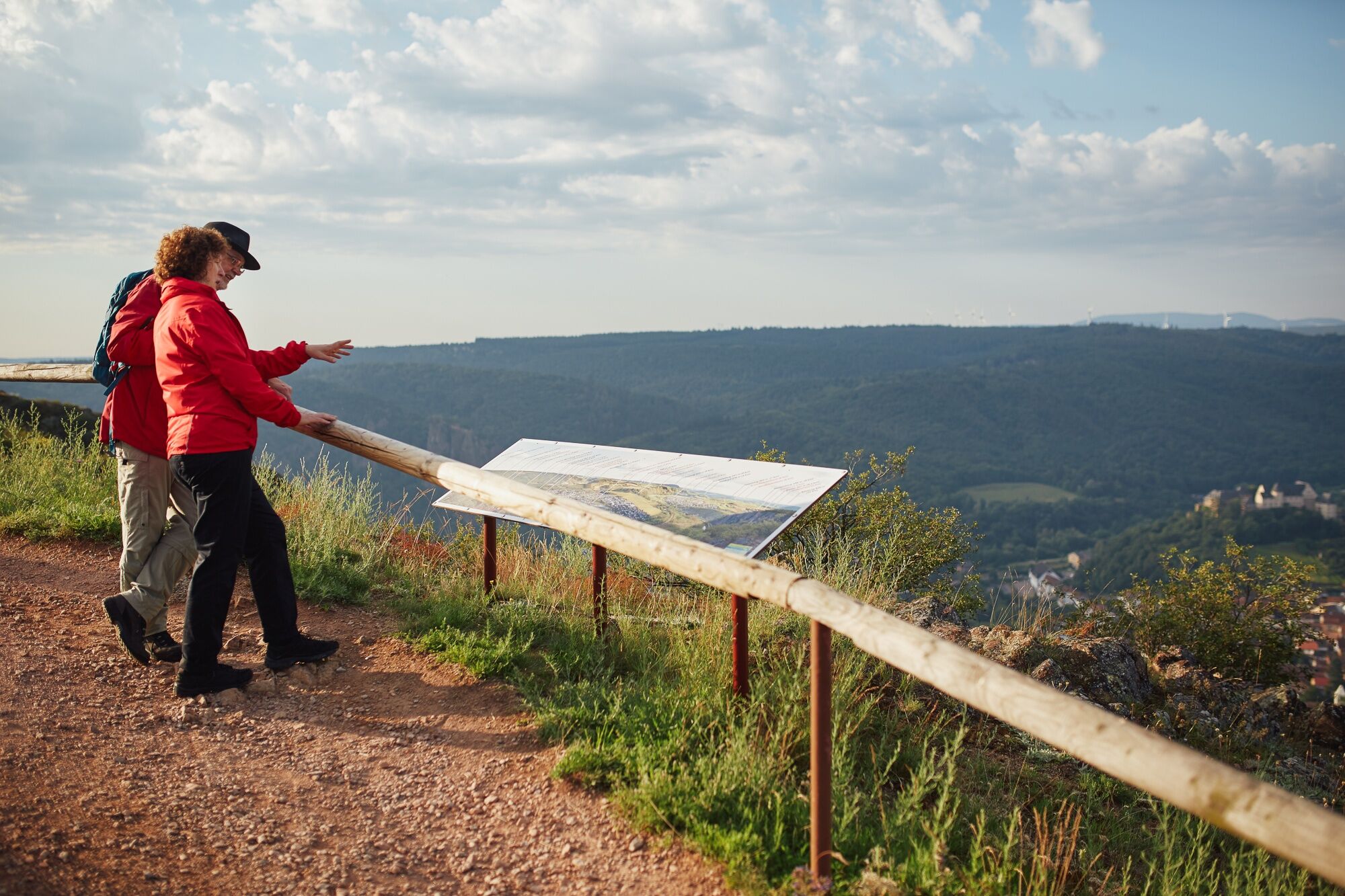
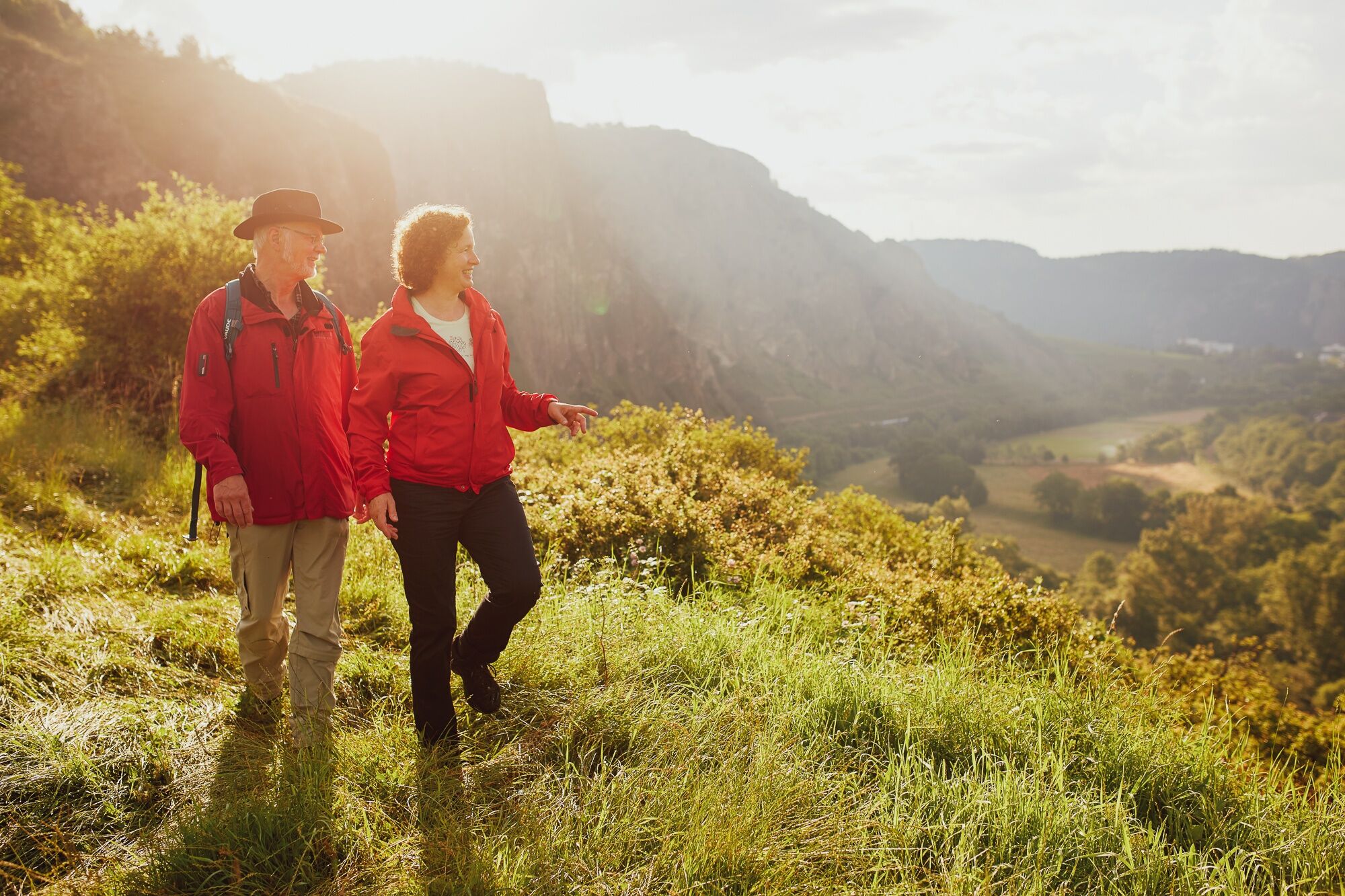
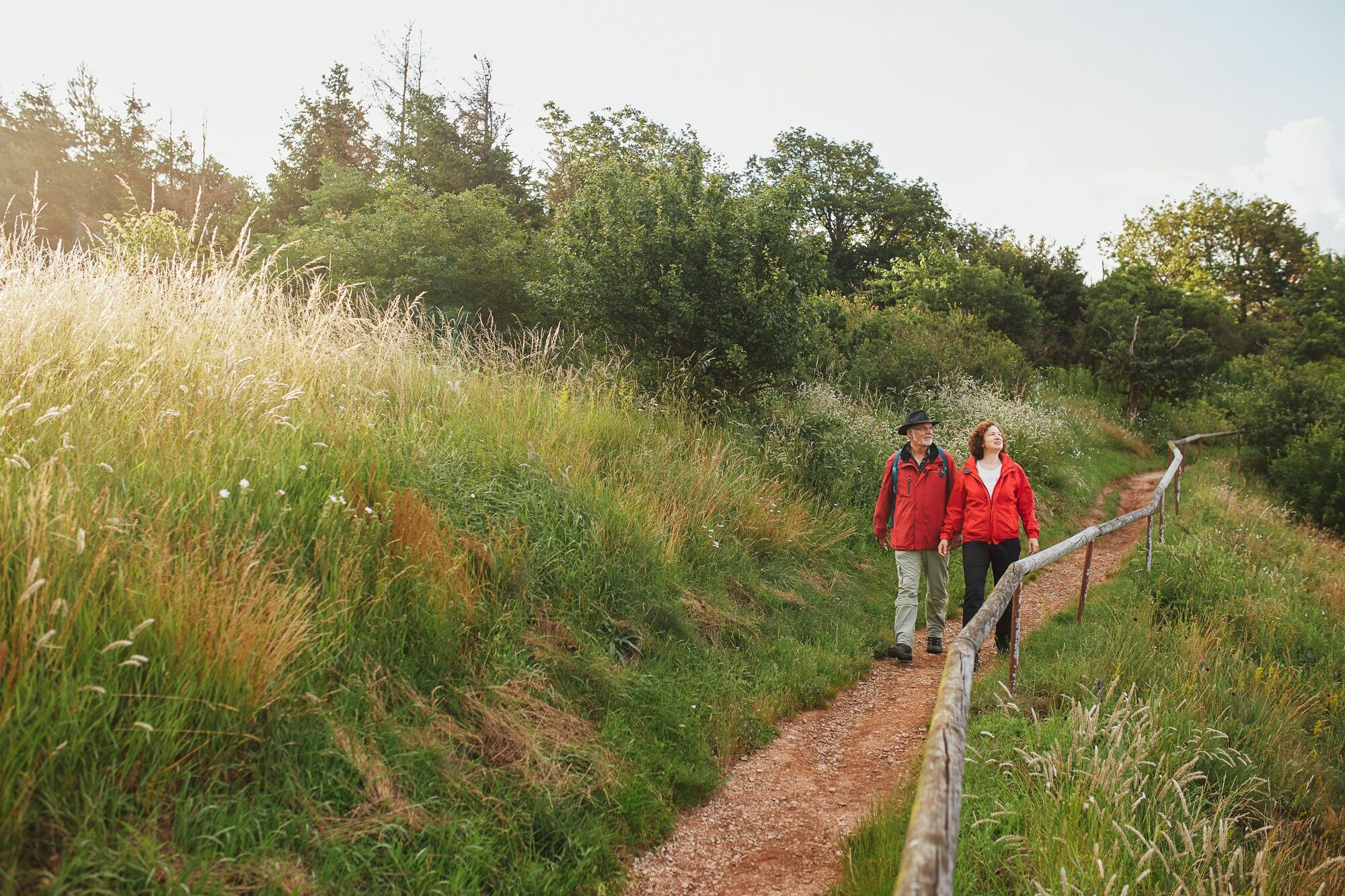
Walk on the Rotenfels plateau along the largest steep face in Central Europe, through oak and beech forest. Enjoy the magnificent distant view of the Northern Palatinate Mountains.
- Teškoća
-
lagano
- Vrednovanje
-
- Wegverlauf
-
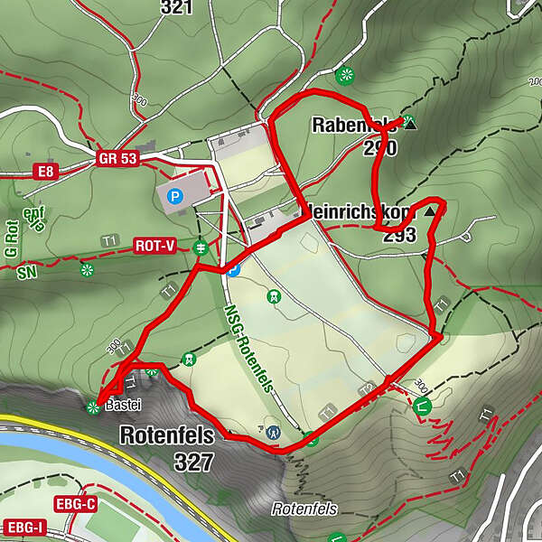
Zur Bastei0,1 kmRabenfels (290 m)0,8 kmBad Kreuznach (104 m)0,8 kmHeinrichskopf (293 m)1,3 kmRotenfels (327 m)2,0 kmPanoramatafel2,1 kmBastei (300 m)2,6 km
- Beste Jahreszeit
-
sijveljožutrasvilipsrpkolrujlisstupro
- Höchster Punkt
- 317 m
- Zielpunkt
-
55595 Traisen | Carpark Rotenfels (K 80)
- Höhenprofil
-
 © outdooractive.com


- Autor
-
Die Tour 3x3 Saline Valley - Introtour Rotenfels wird von outdooractive.com bereitgestellt.
GPS Downloads


Weitere Touren in den Regionen