Dahner Felsenpfad
medium
Navigate
Navigate
Get this tour on your mobile
Dahner Felsenpfad
medium
Pješačenje
13,93
km
Scan the QR code and start navigation in the bergfex app

Hiking & Tracking


Distance
13,93
km
Duration
03:49
h
Ascent
390
m
Sea level
210 -
318
m
Track download
Dahner Felsenpfad
medium
Pješačenje
13,93
km


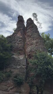
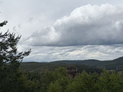
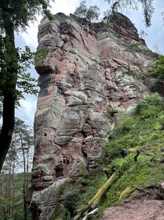
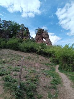
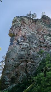
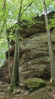
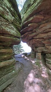
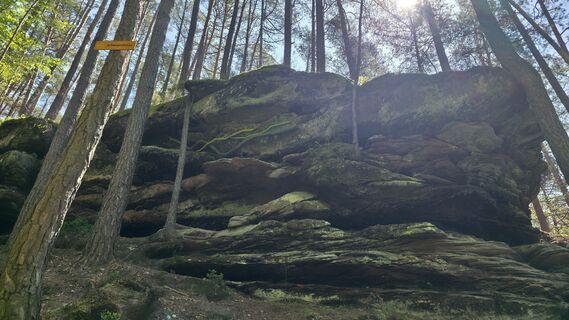
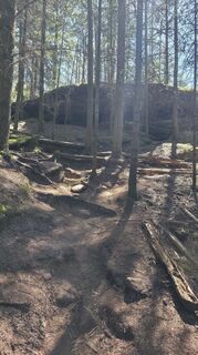
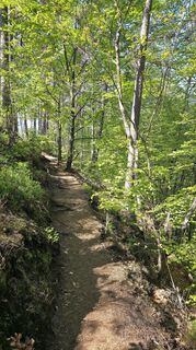
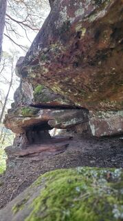
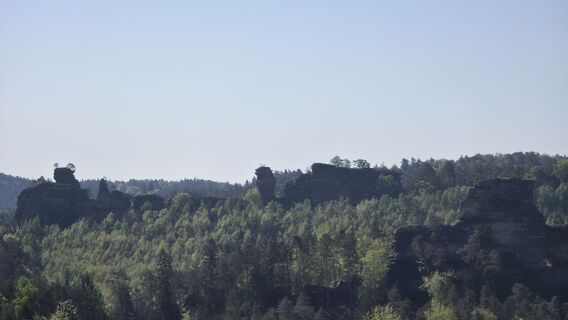
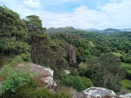
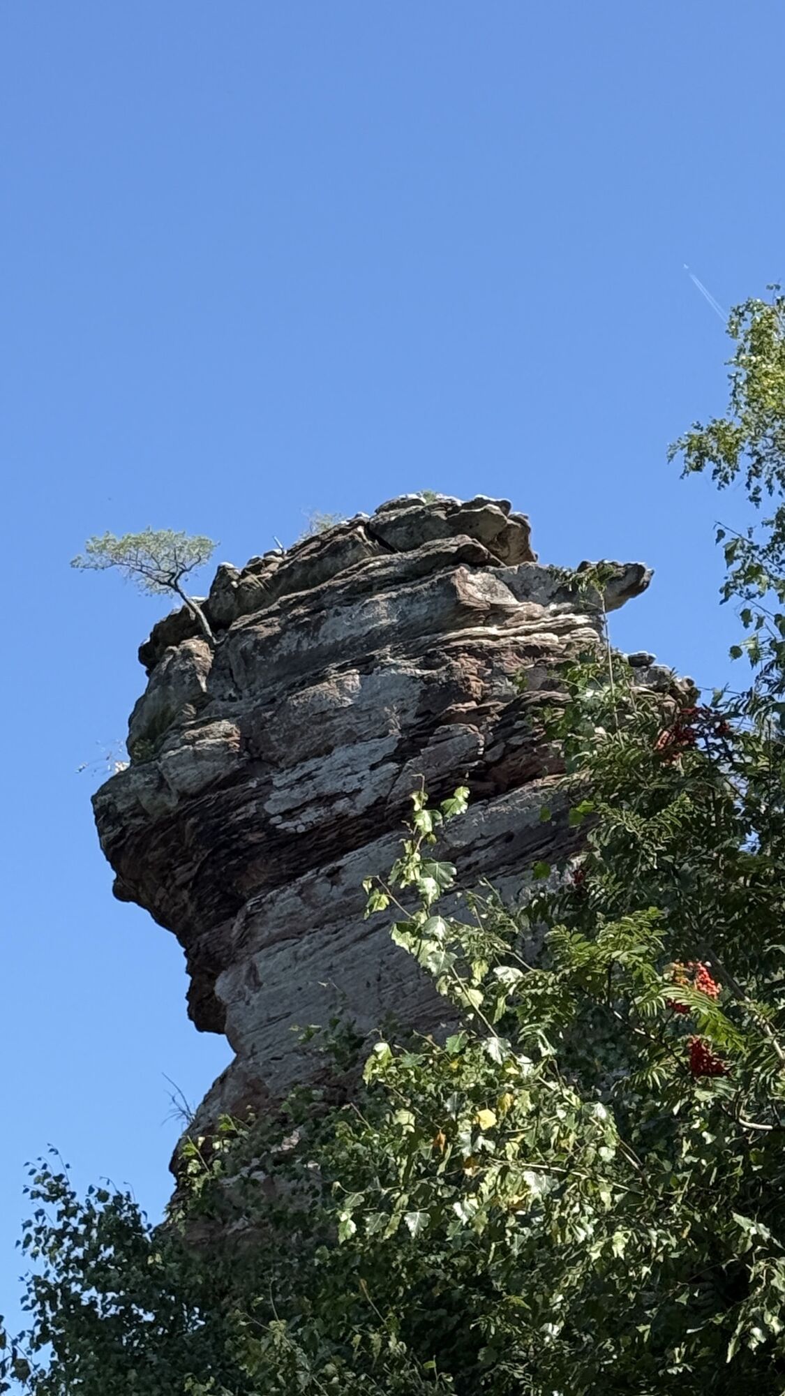
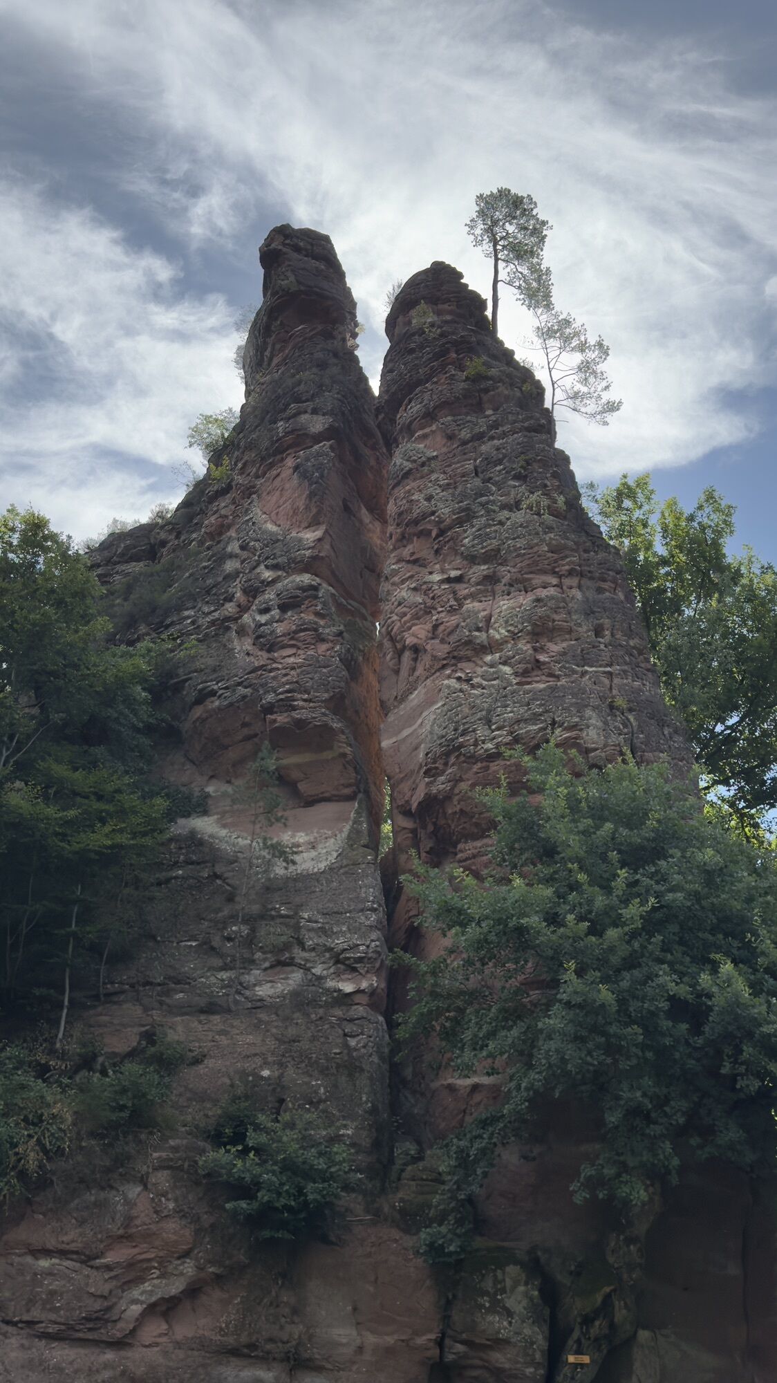
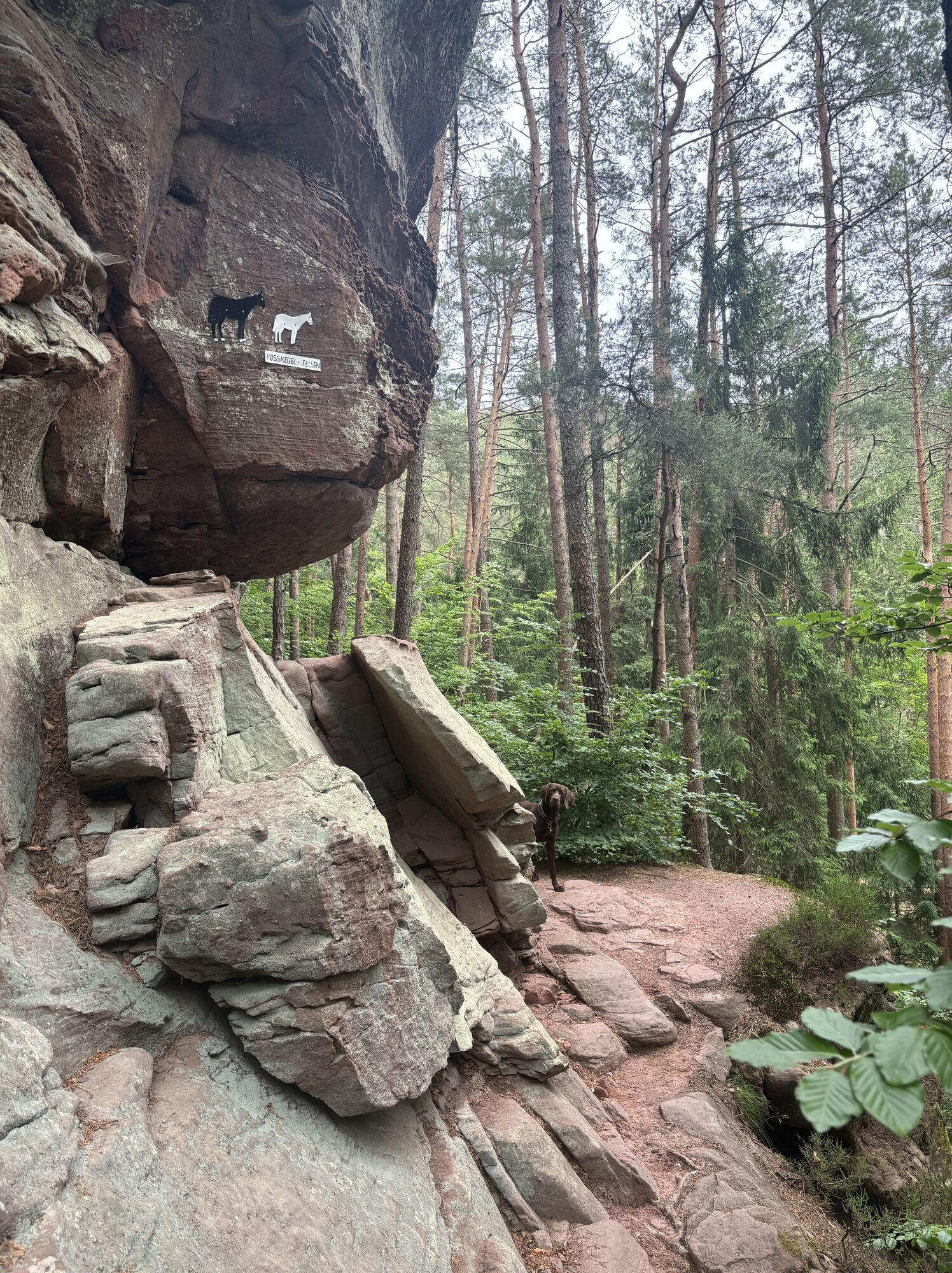
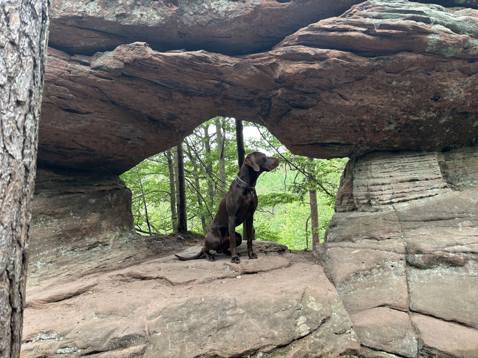
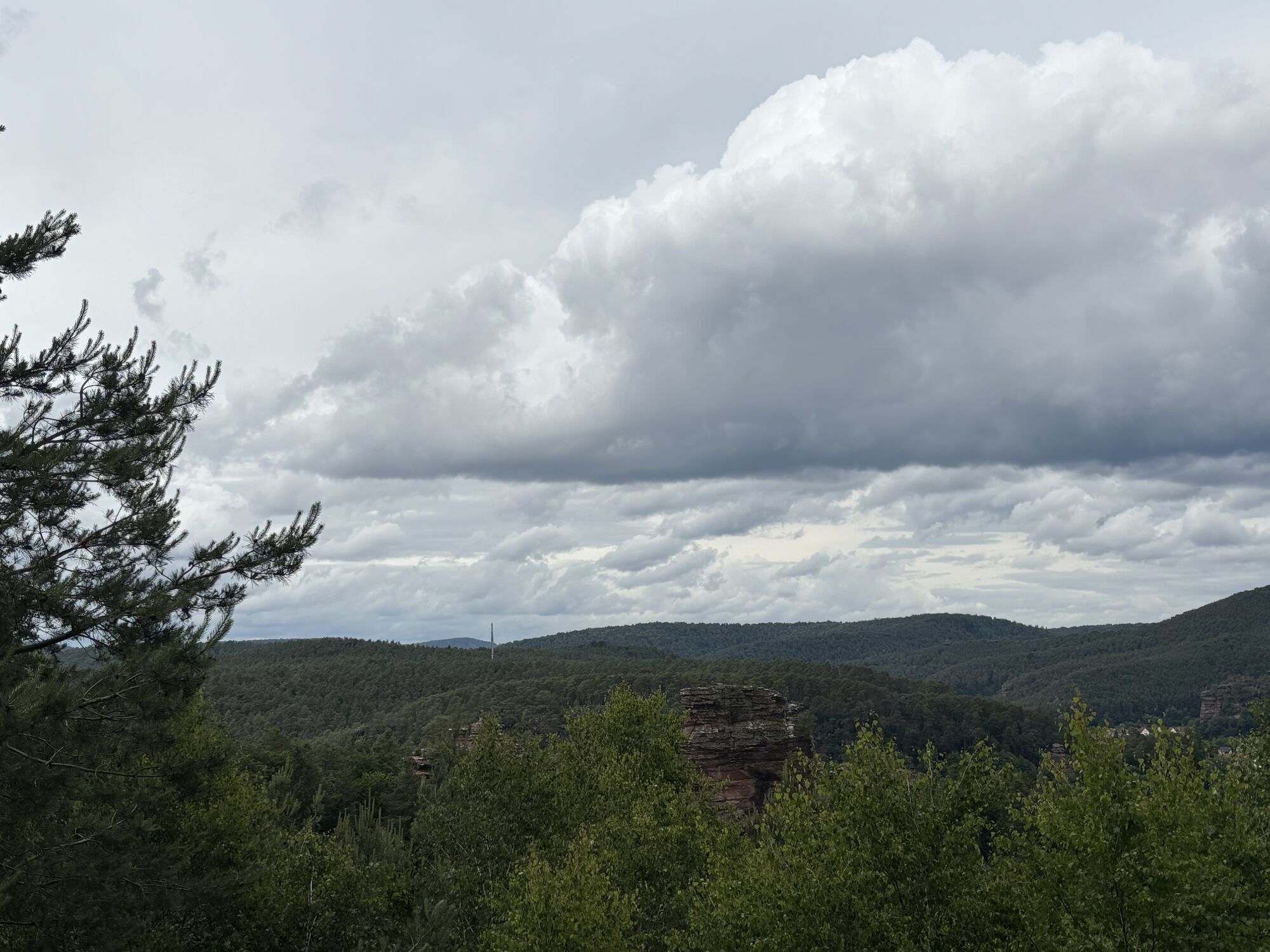
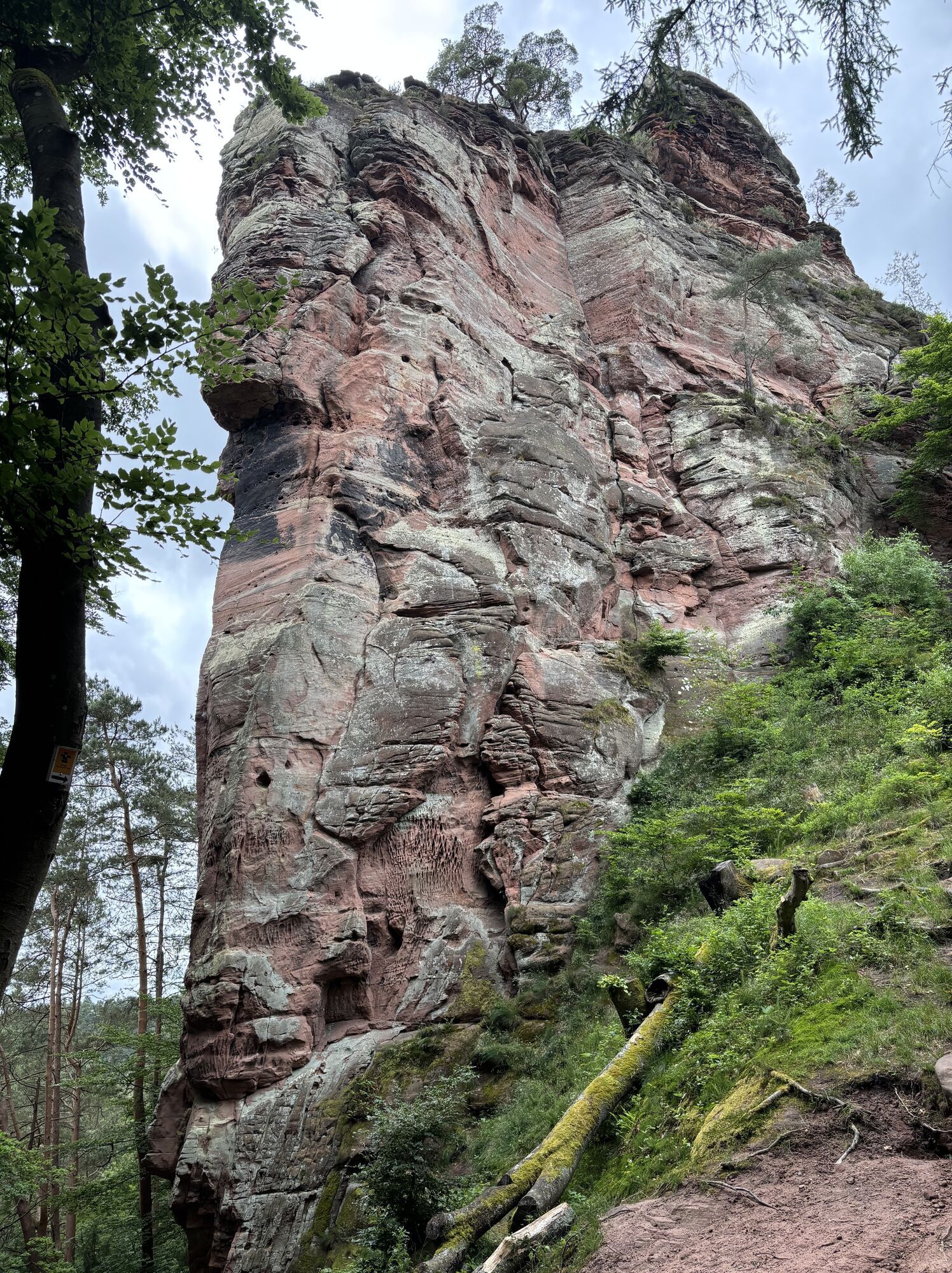
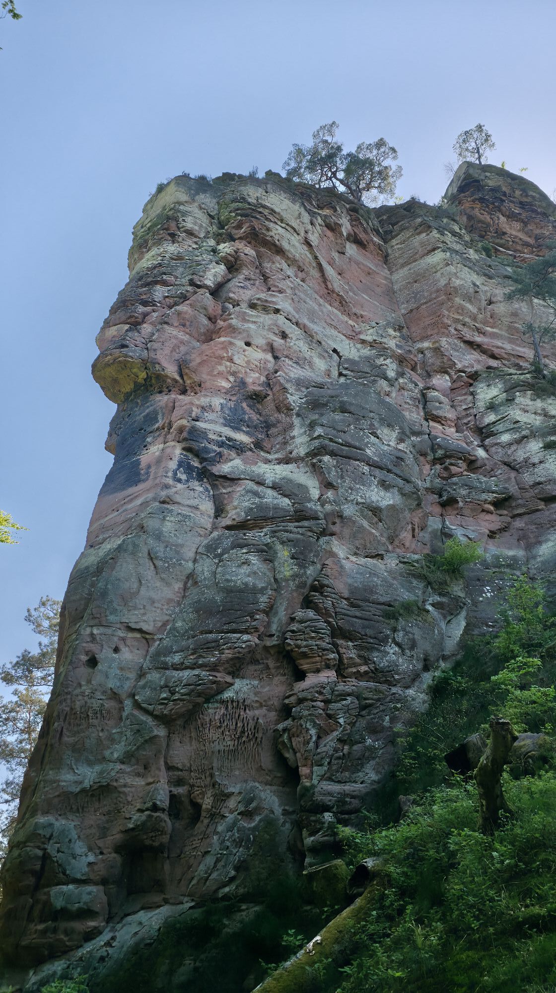
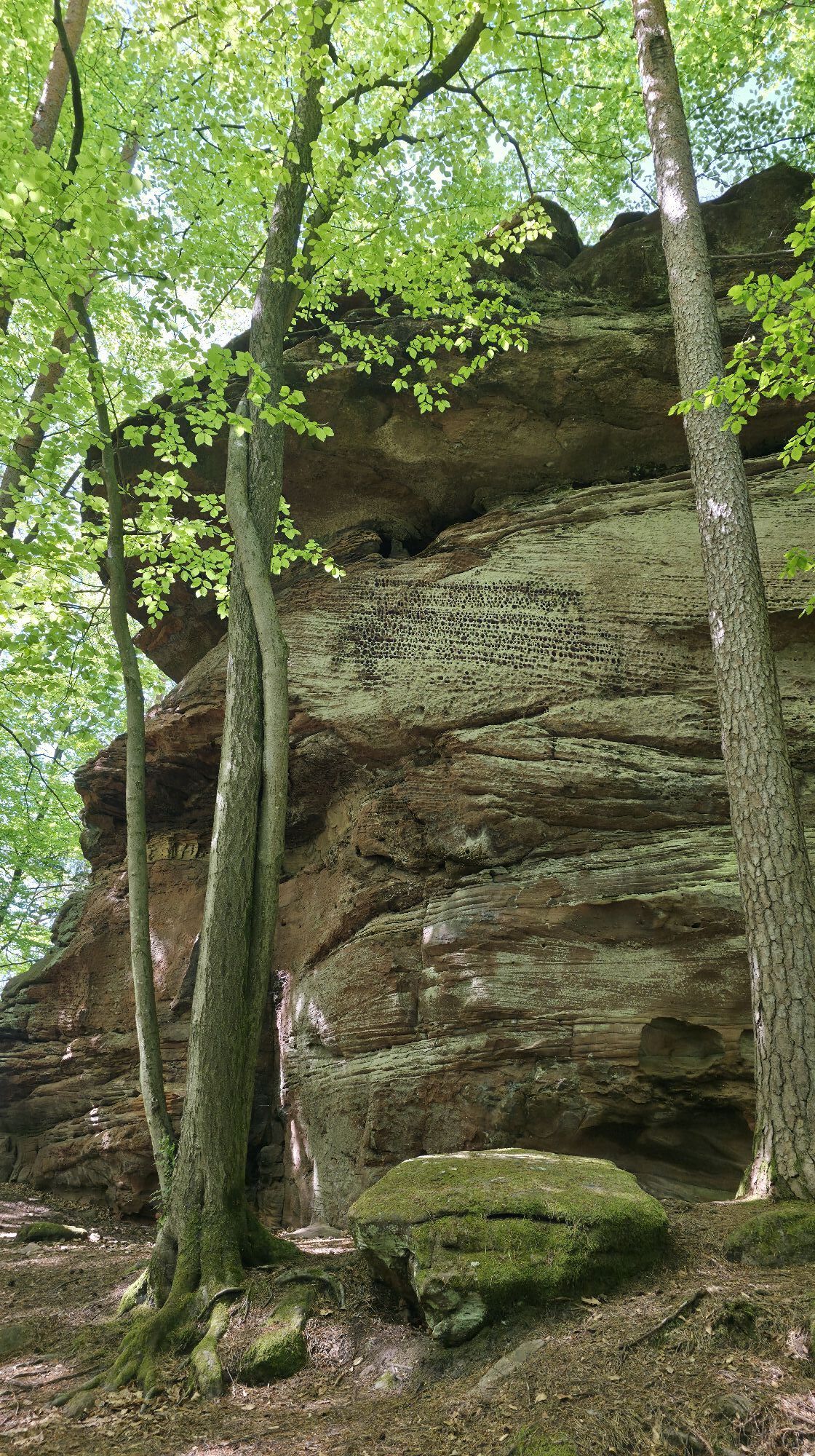
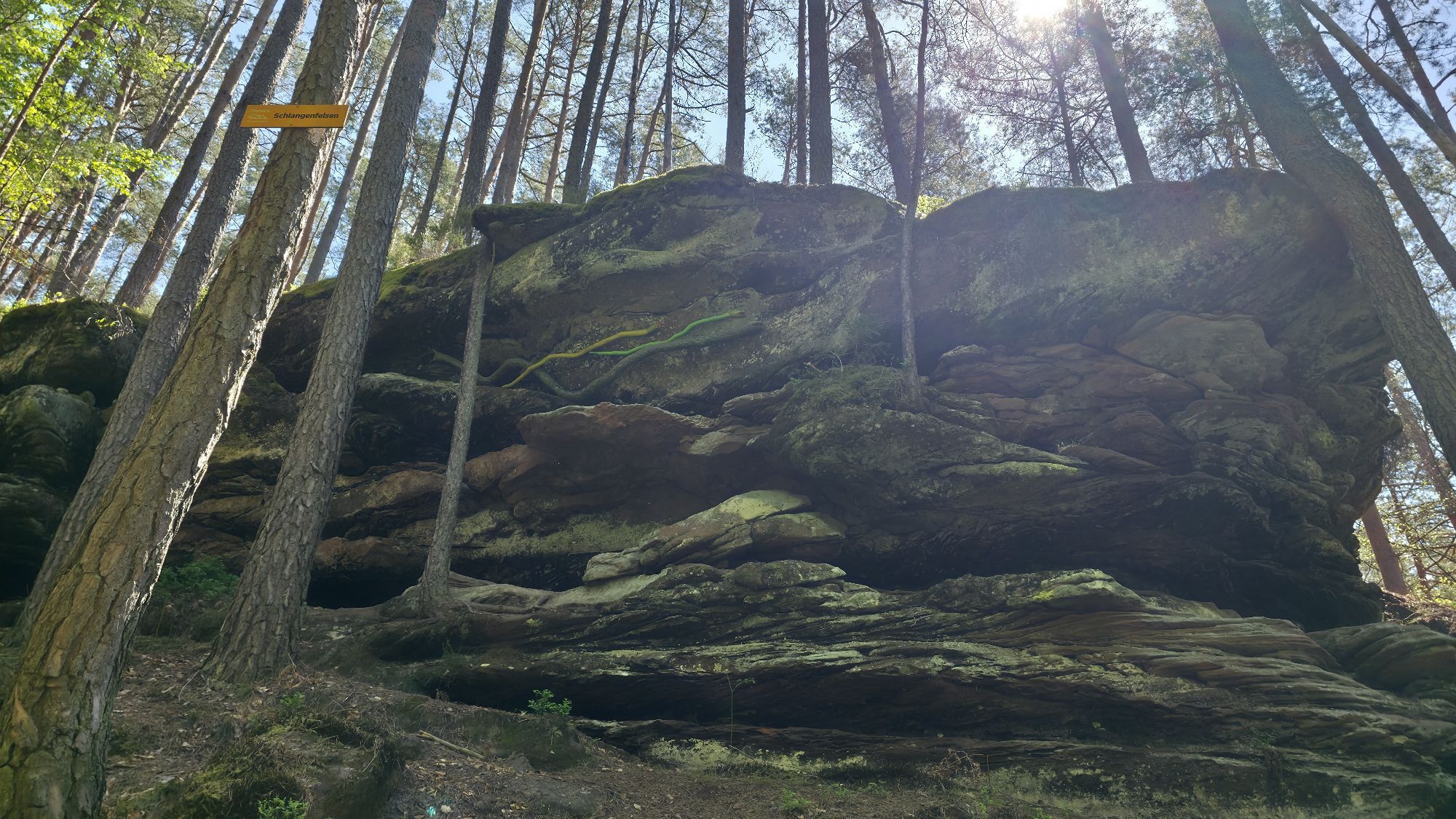
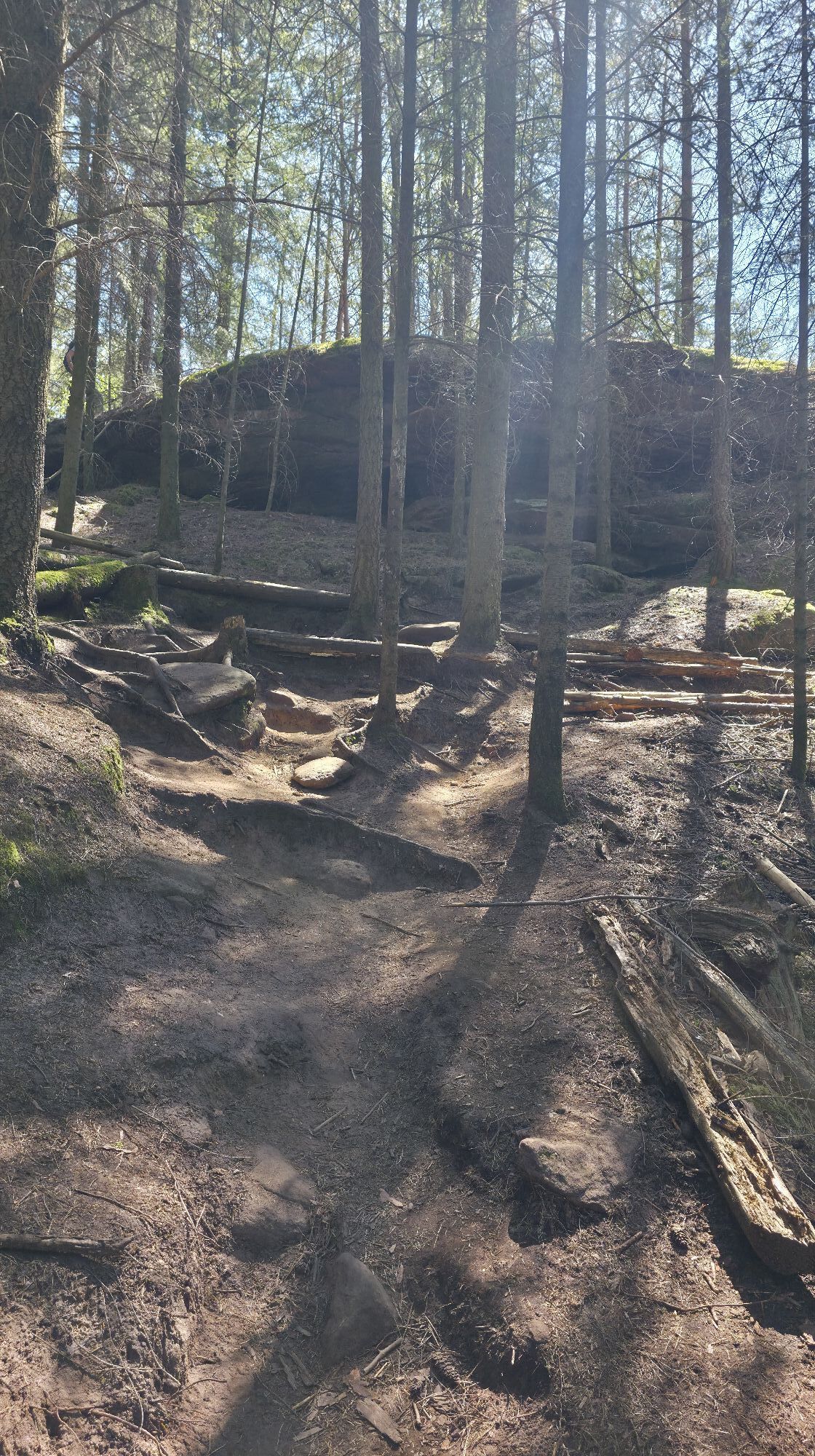
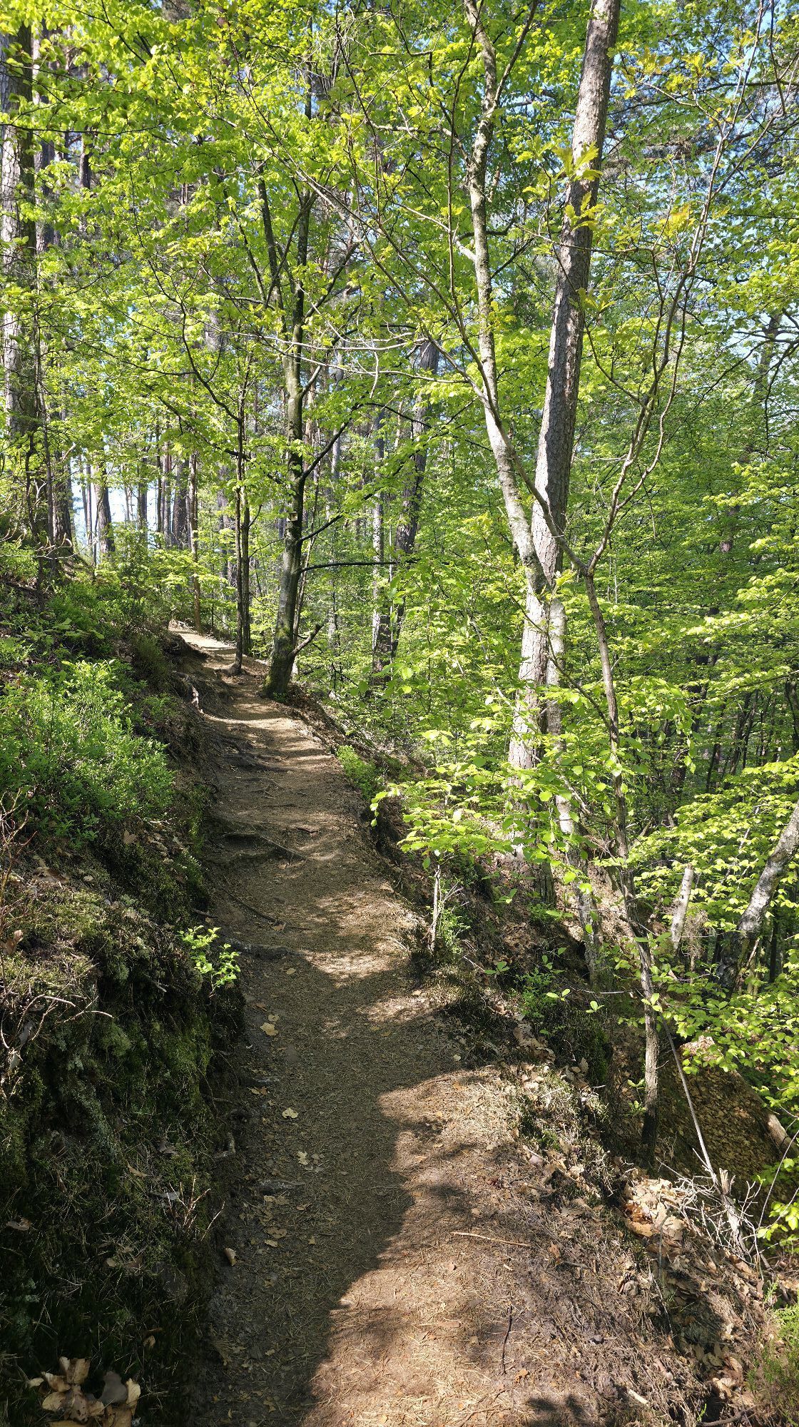
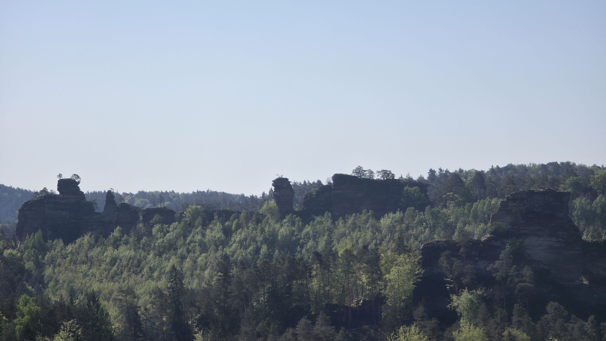
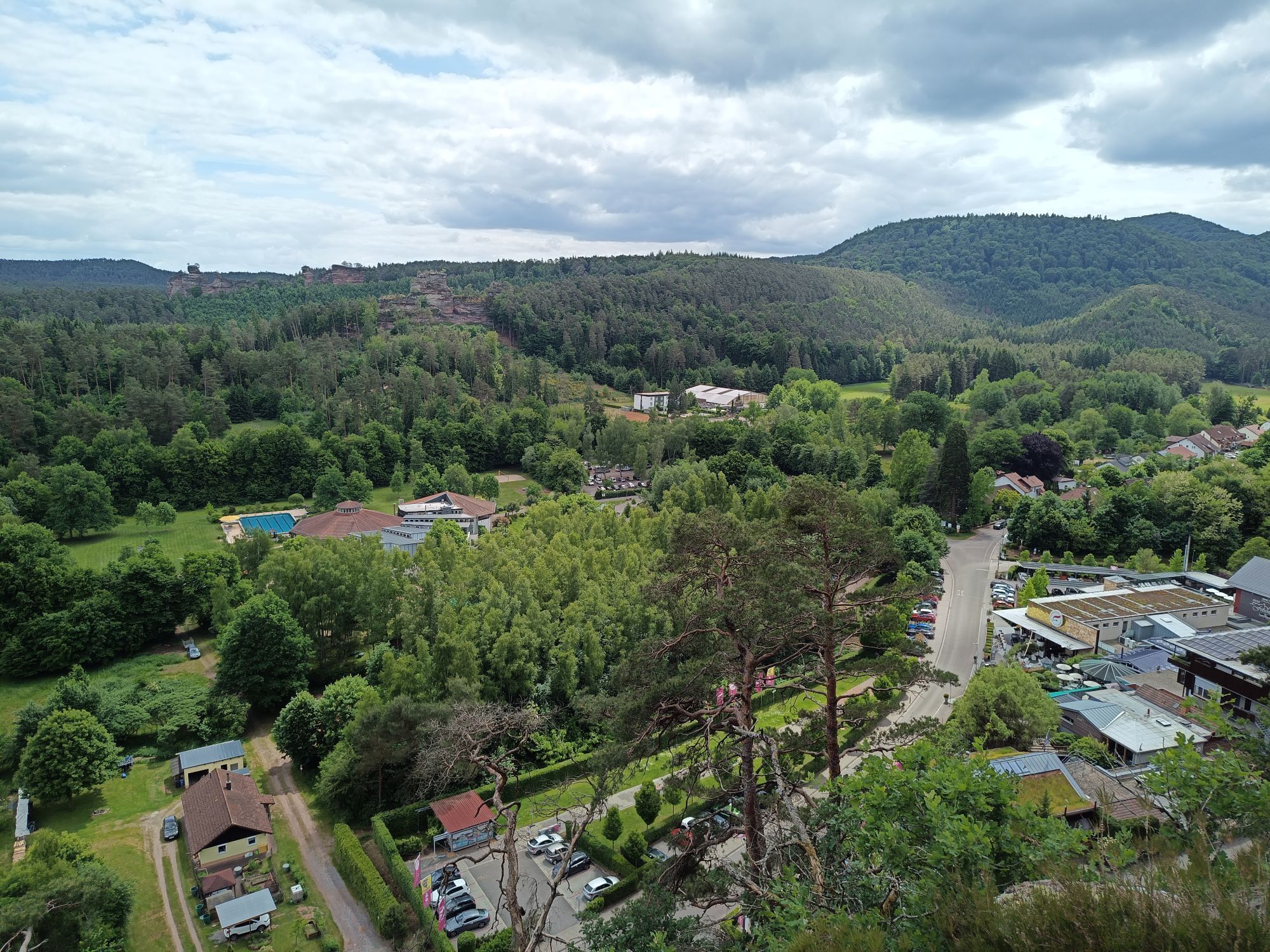
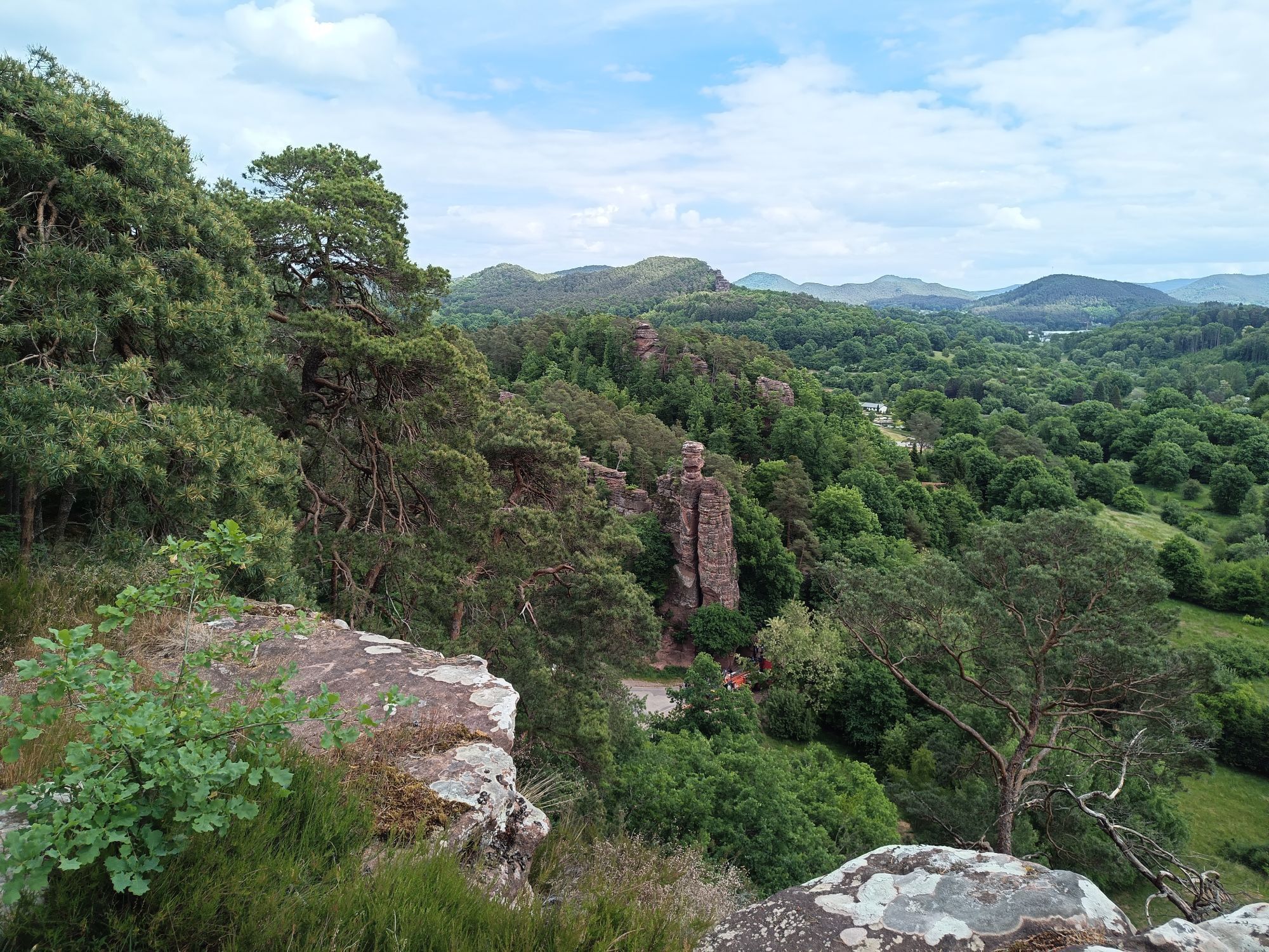
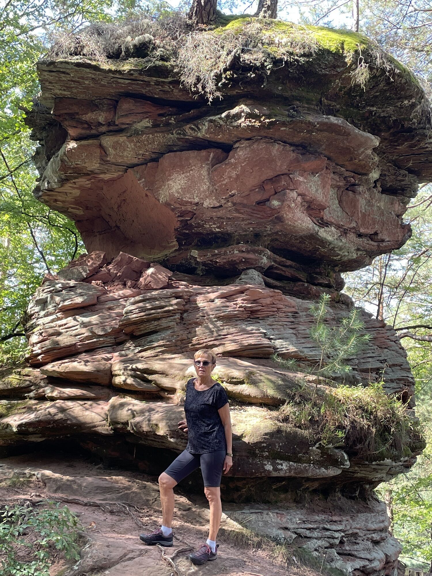
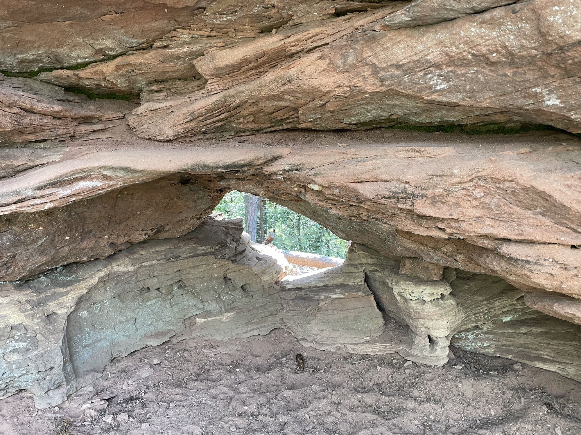
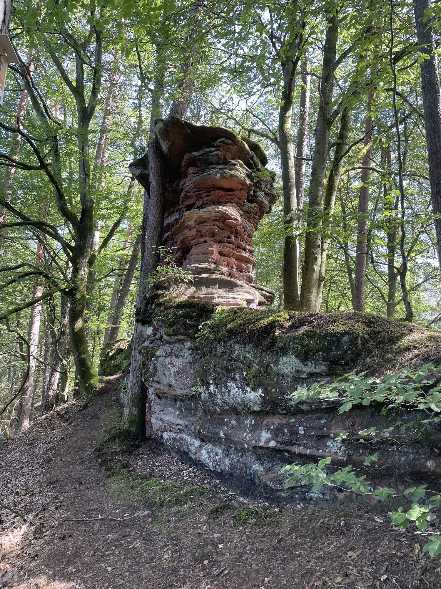
Photos of our users
-
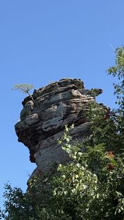
 © Stefan MangoldCreated on 09.08.2025
 -
 © Stefan MangoldCreated on 09.08.2025
 -

 © Christian HennekeuseeCreated on 05.06.2025
 -
 © Christian HennekeuseeCreated on 05.06.2025
 -
 © Christian HennekeuseeCreated on 05.06.2025
 -
 © Christian HennekeuseeCreated on 05.06.2025
 -
 © Stefan HeinzelmannCreated on 26.05.2025
 -
 © Stefan HeinzelmannCreated on 26.05.2025
 -
 © Yvonne KarcherCreated on 01.05.2025
 -
 © Yvonne KarcherCreated on 01.05.2025
 -
 © Yvonne KarcherCreated on 01.05.2025
 -
 © Yvonne KarcherCreated on 01.05.2025
 -
 © Yvonne KarcherCreated on 01.05.2025
 -
 © Yvonne KarcherCreated on 01.05.2025
 -
 © Yvonne KarcherCreated on 01.05.2025
 -
 © Yvonne KarcherCreated on 01.05.2025
 -
 © Stefan HeinzelmannCreated on 26.05.2025
 -
 © Stefan HeinzelmannCreated on 26.05.2025


Route
Dahn
(211 m)
City
1,8 km
Weihersebene
(299 m)
Corridor/terrain
3,4 km
Dahner Hütte - PWV - Im Schneiderfeld
(238 m)
Shelter
5,3 km
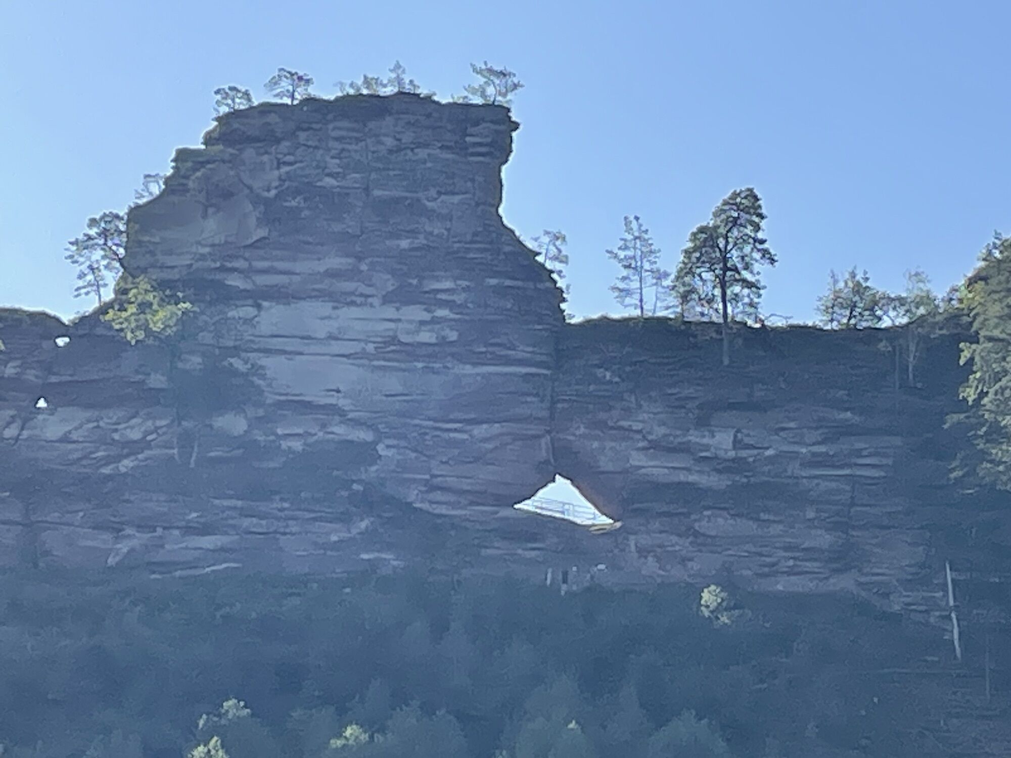
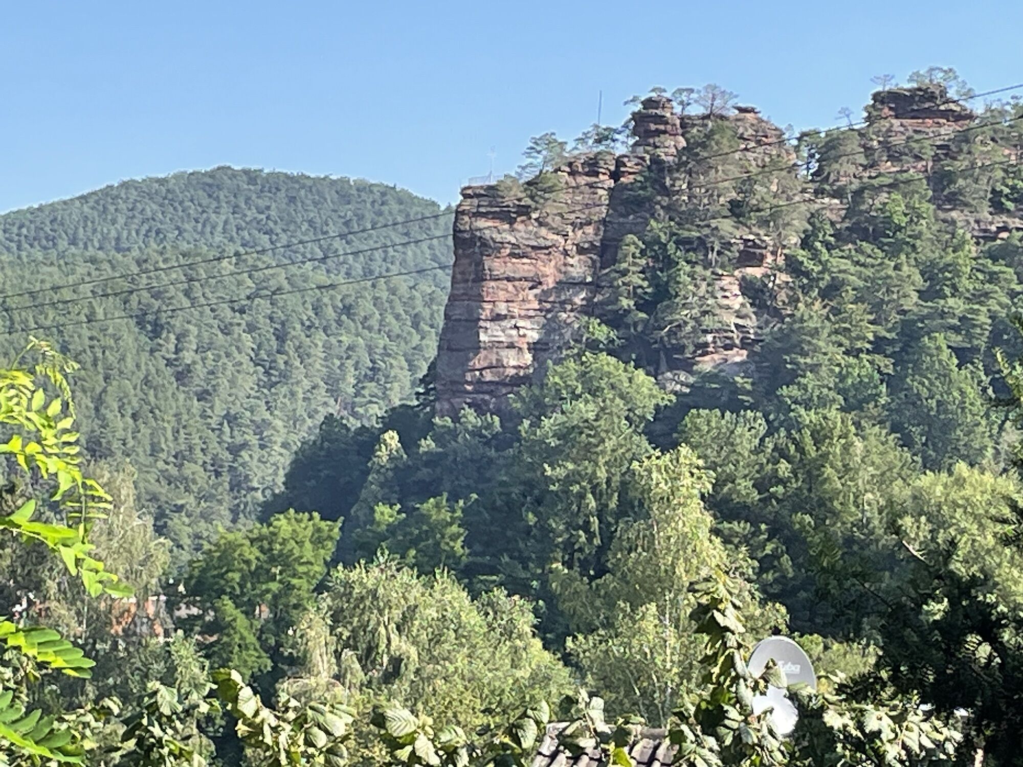
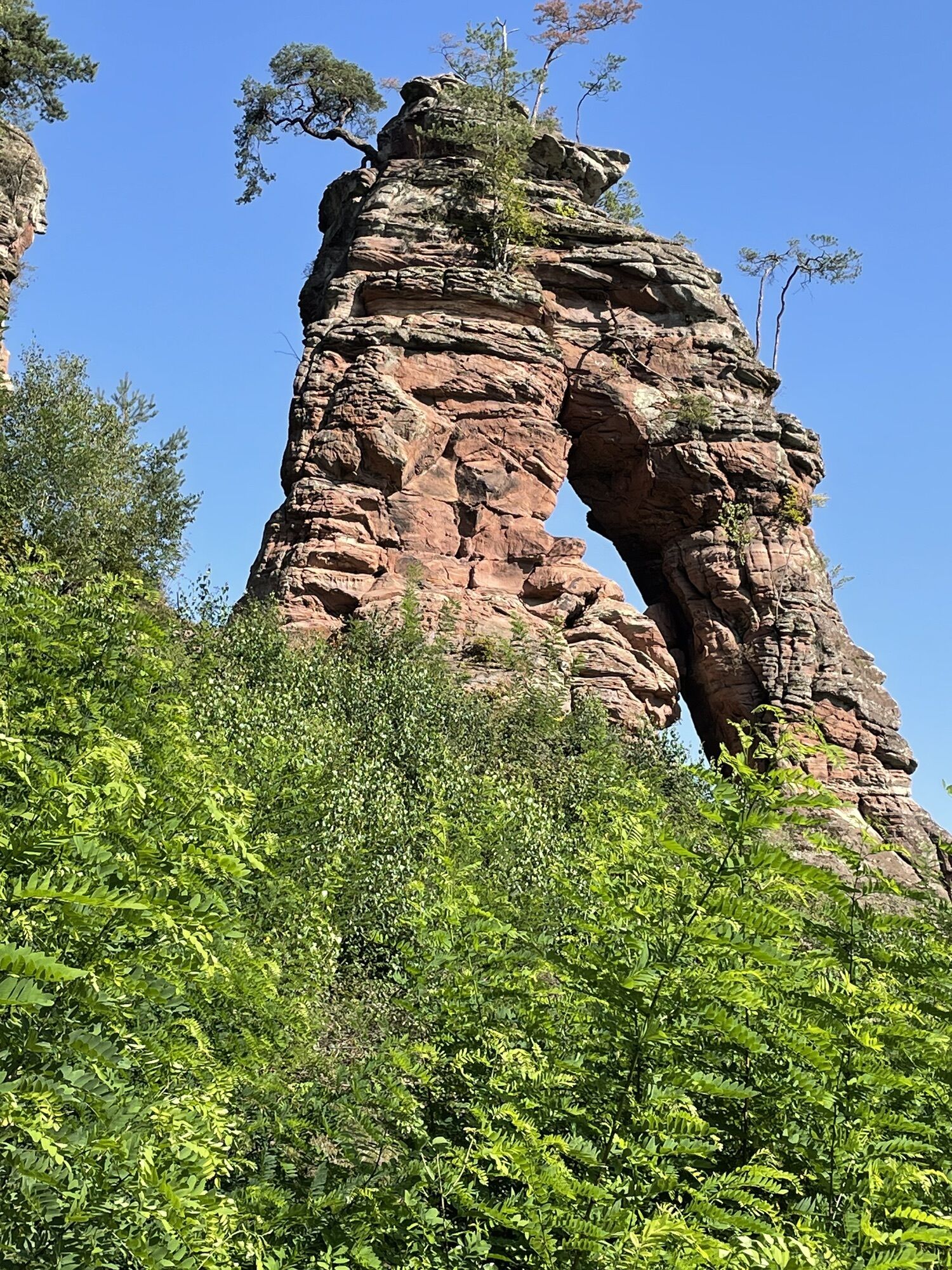
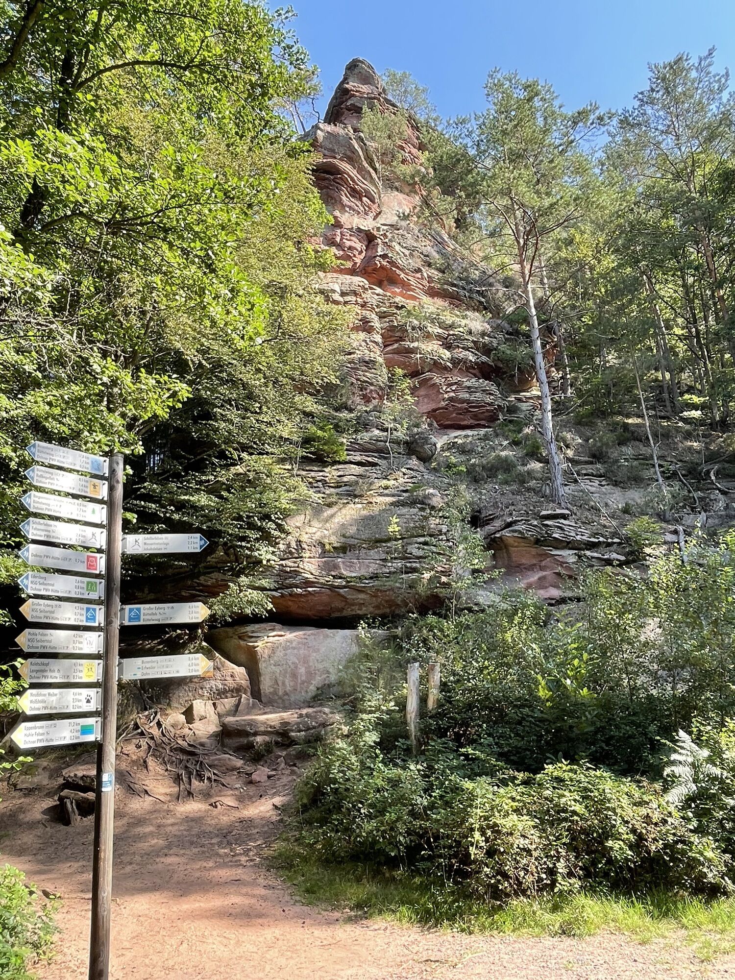
Büttelfels
(280 m)
Viewpoint
10,4 km
Lämmerfelsen
(300 m)
Corridor/terrain
11,3 km
Dahn
(211 m)
City
13,0 km
Wachtfelsen
(265 m)
Viewpoint
13,1 km
Route
Dahner Felsenpfad
medium
Pješačenje
13,93
km
Pfaffenfelsen
(282 m)
Viewpoint
1,4 km
Dahn
(211 m)
City
1,8 km
Schillerfelsen
(230 m)
Viewpoint
2,2 km
Weihersebene
(299 m)
Corridor/terrain
3,4 km
Dahner Hütte - PWV - Im Schneiderfeld
(238 m)
Shelter
5,3 km
Kühwoog
(232 m)
Corridor/terrain
5,7 km
Rothsteigbrunnen
(278 m)
Source
8,2 km
Büttelfels
(280 m)
Viewpoint
10,4 km
Lämmerfelsen
(300 m)
Corridor/terrain
11,3 km
Lämmerteich
(237 m)
Corridor/terrain
11,8 km
Dahn
(211 m)
City
13,0 km
Wachtfelsen
(265 m)
Viewpoint
13,1 km

Last tracked
5 days ago
Valuations
1 Comment
Karsten Beer
21. kol.. 2024
Dahner Felsenpfad
Nicht schwer, schön schattig, mit Kindern und Hund gut machbar.
Popular tours in the neighbourhood
-
4,7
Dahner Felsenpfad
mediumPješačenje 13,2 km -
4,1
Dahn - Dahner Hütte - PWV - Im Schneiderfeld - Wachtfelsen
mediumPješačenje 12,9 km -
Kombiniert Altschlosspfad und Eulenfels-Tour
mediumPješačenje 21,5 km -
4,5
Schusterpfad
mediumPješačenje 16,4 km -
Münchweiler Höhenwanderweg
mediumPješačenje 16,4 km -
Rundwanderweg Merzalben
heavyPješačenje 14,2 km -
5,0
Dahner Felsenpfad
mediumPješačenje 13,8 km -
Rodalber Felsenwanderweg
heavyPješačenje 44,3 km -
5,0
Tour zu den Geißenschlupf-Felsen und der "Schöner Aussicht" bei Leimen/Pfalz
mediumPješačenje 4,33 km -
Premiumweg - Dahner Felsenpfad - Deutsches Wandersiegel
heavyPješačenje 12,4 km
bergfex Tours

Over 550.000 tour suggestions, detailed maps and an intuitive route planner make the app a must-have for all nature enthusiasts.

Ne propustite ponude i inspiraciju za vaš sljedeći odmor
Subscribe to the newsletter
Error
An error has occurred. Please try again.
Thank you for your registration
Your e-mail address has been added to the mailing list.
Tours throughout Europe
Austrija
Švicarska
Njemačka
Italija
Slovenija
Francuska
Nizozemska
Belgija
Poljska
Lihtenštajn
Češka
Slovačka
Španija
Hrvatska
Bosna i Hercegovina
Luksemburg
Andora
Portugal
Island
Ujedinjeno Kraljevstvo
Irska
Grčka
Albanija
Sjeverna Makedonija
Malta
Norveška
Crna Gora
Moldova
Kosovo
Mađarska
San Marino
Rumunjska
Estonija
Latvija
Bjelorusija
Cipar
Litva
Srbija
Bugarska
Monako
Danska
Švedska
Finska