- Kratak opis
-
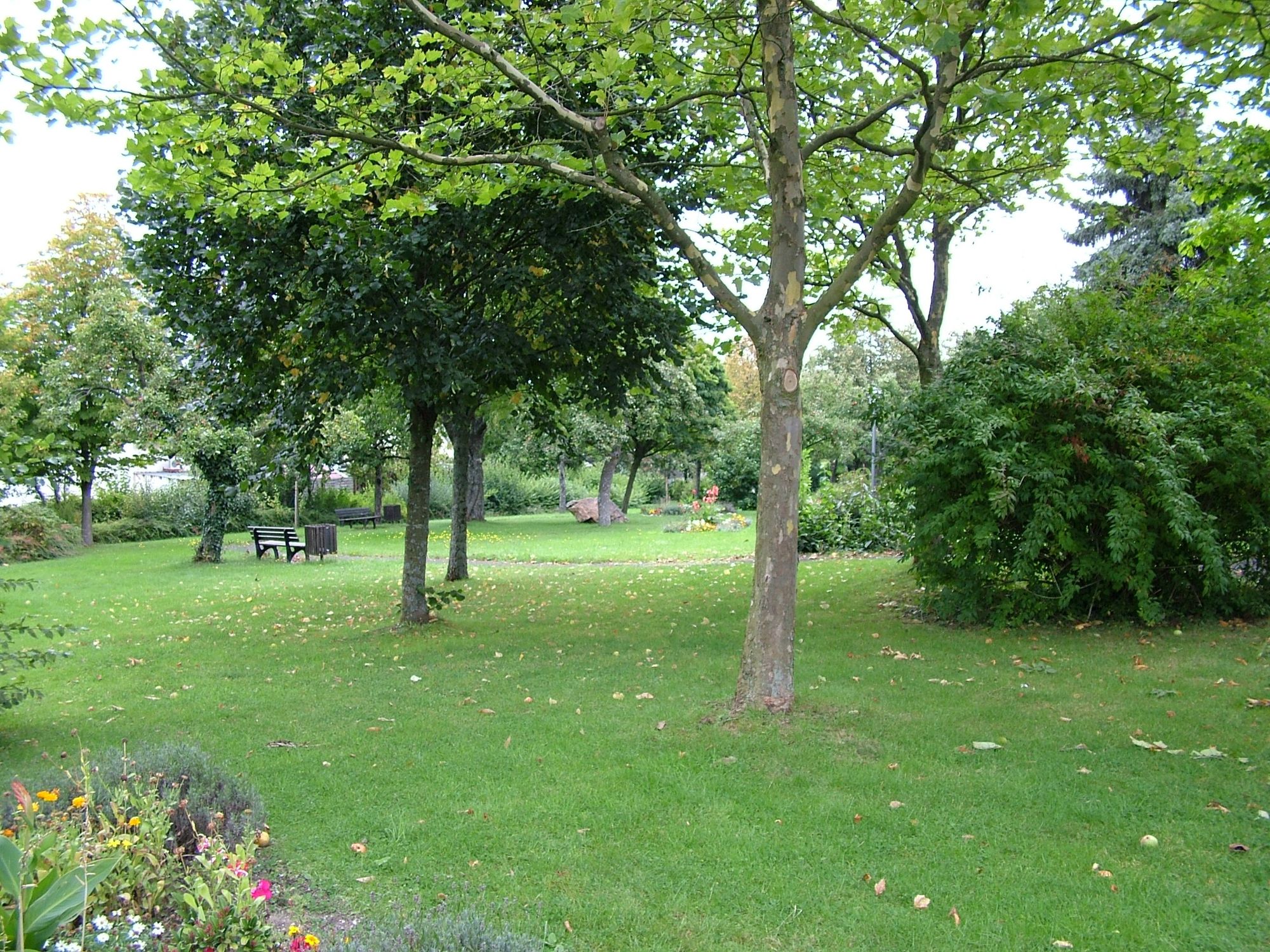
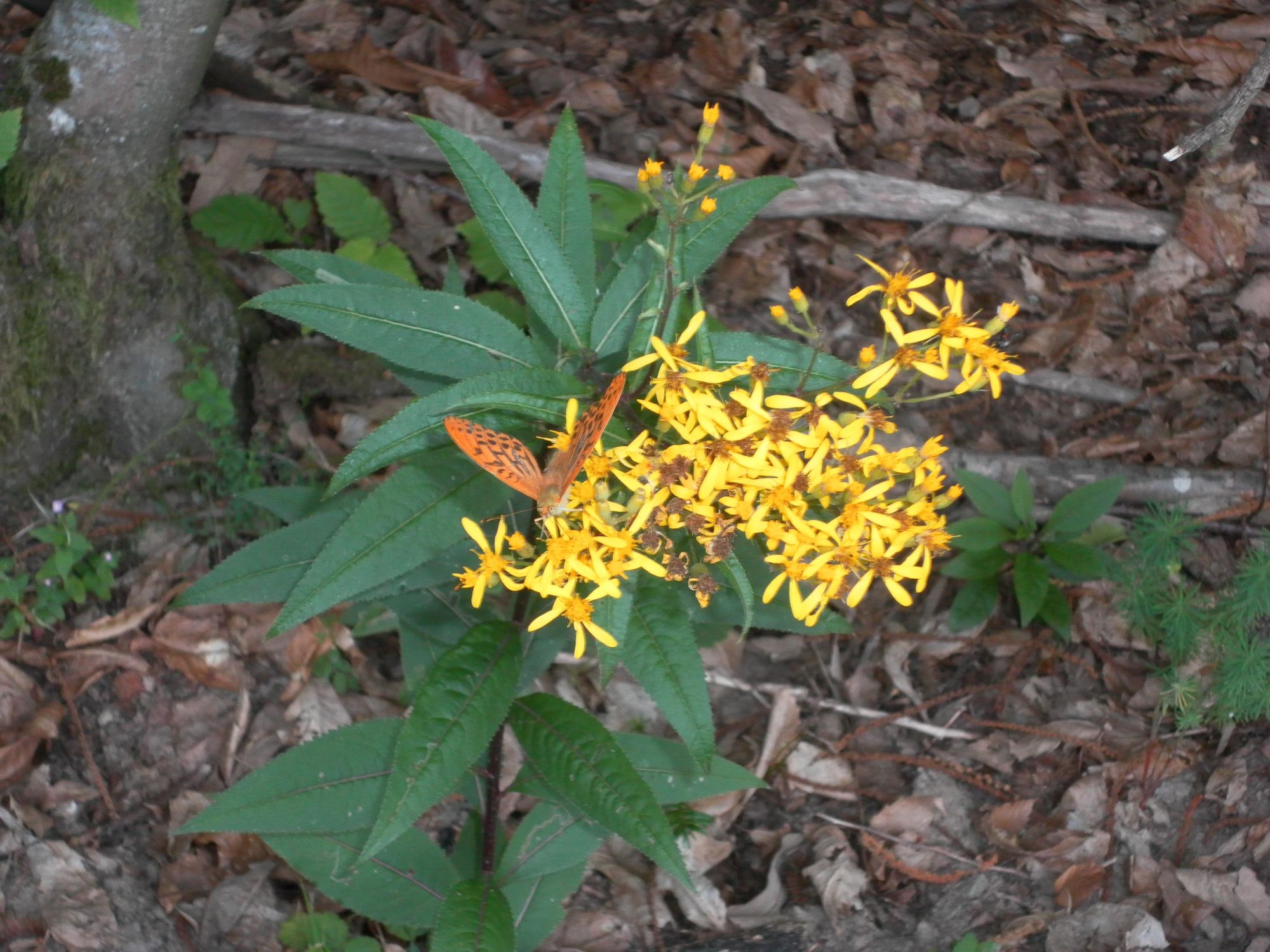
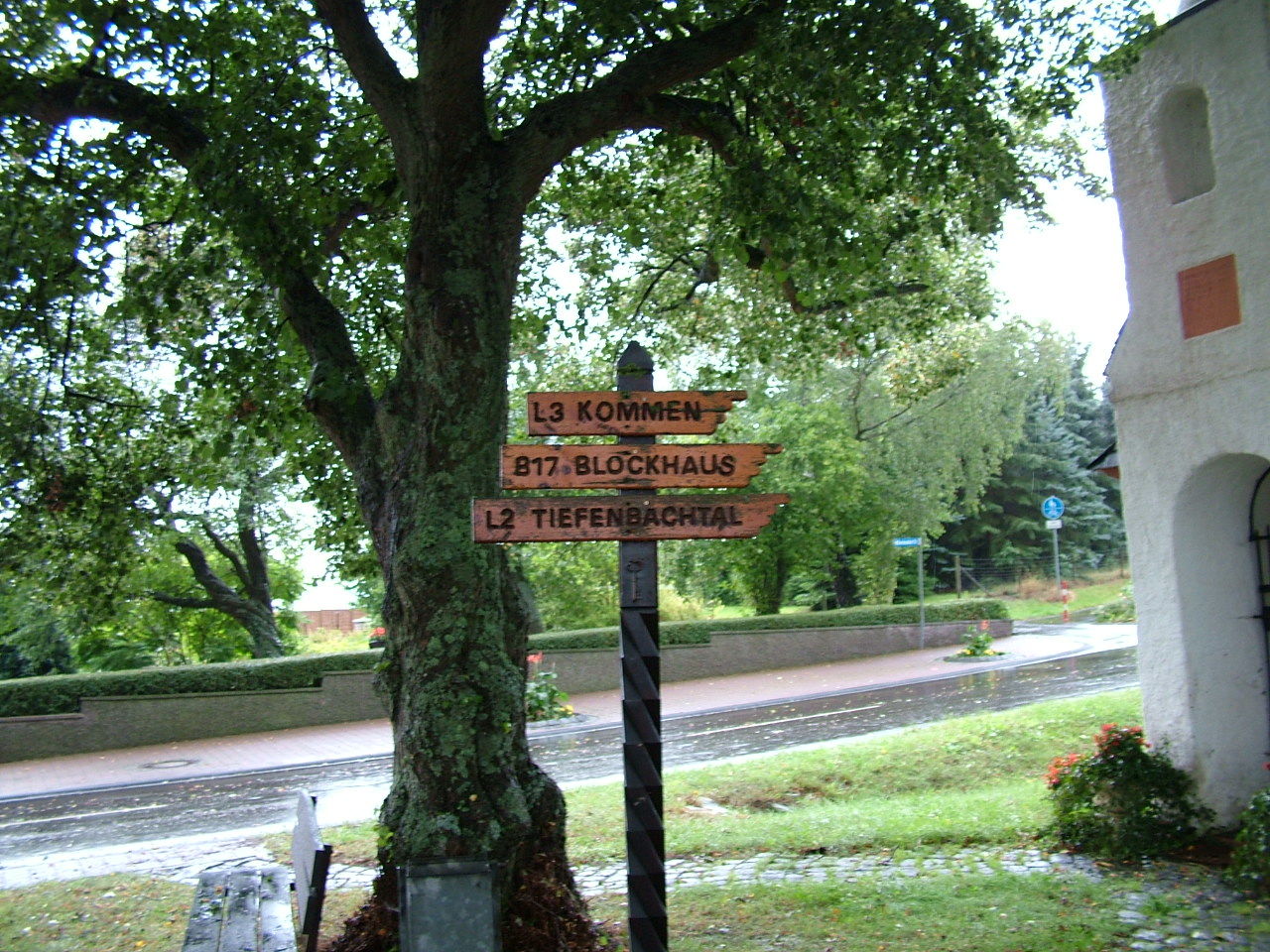
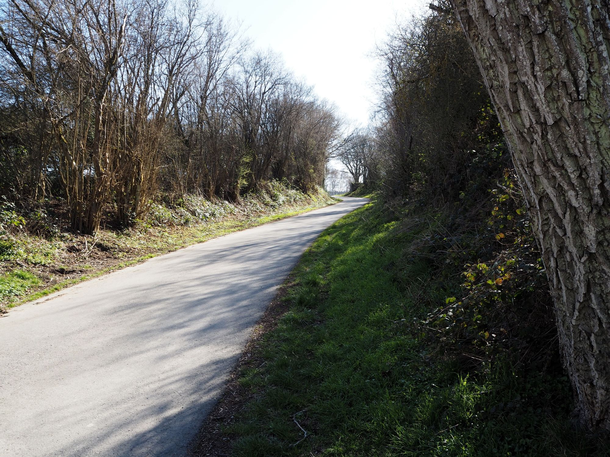
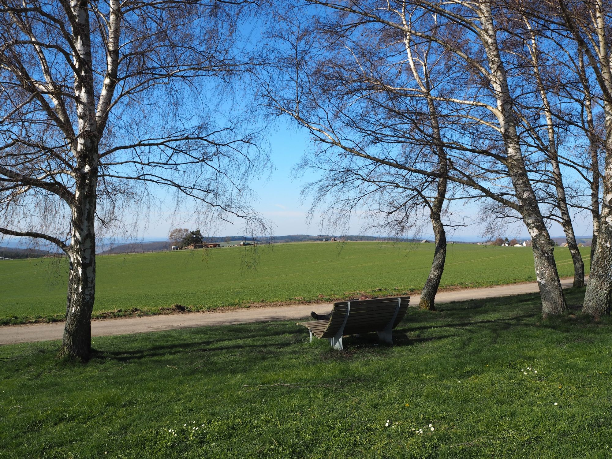
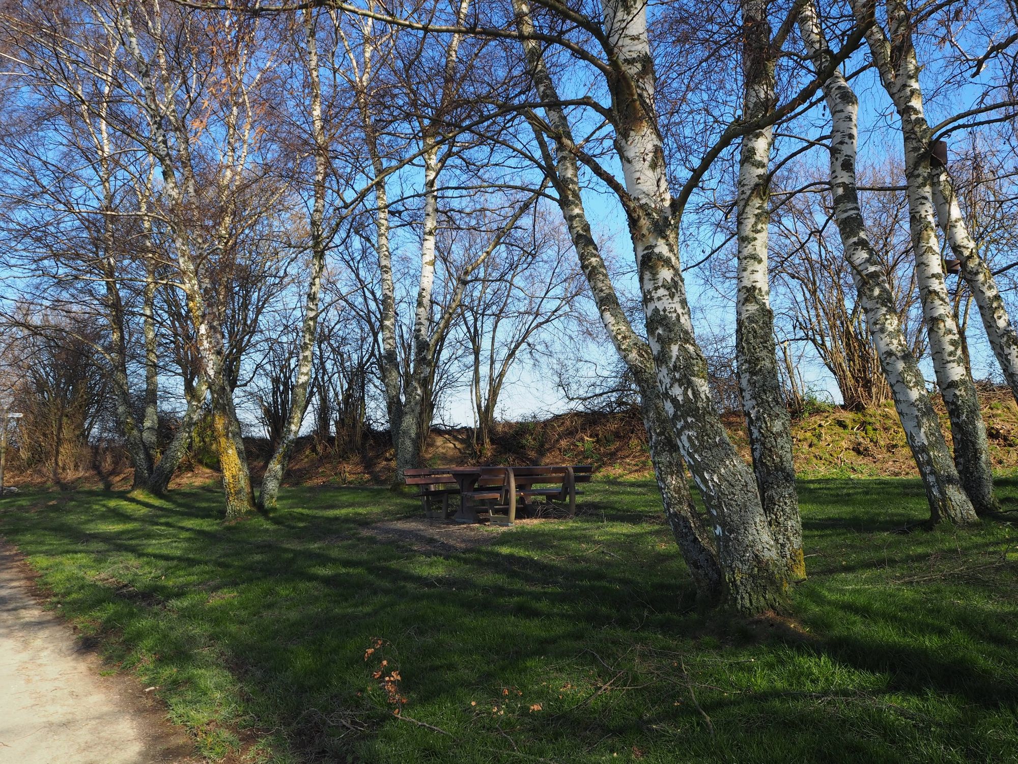
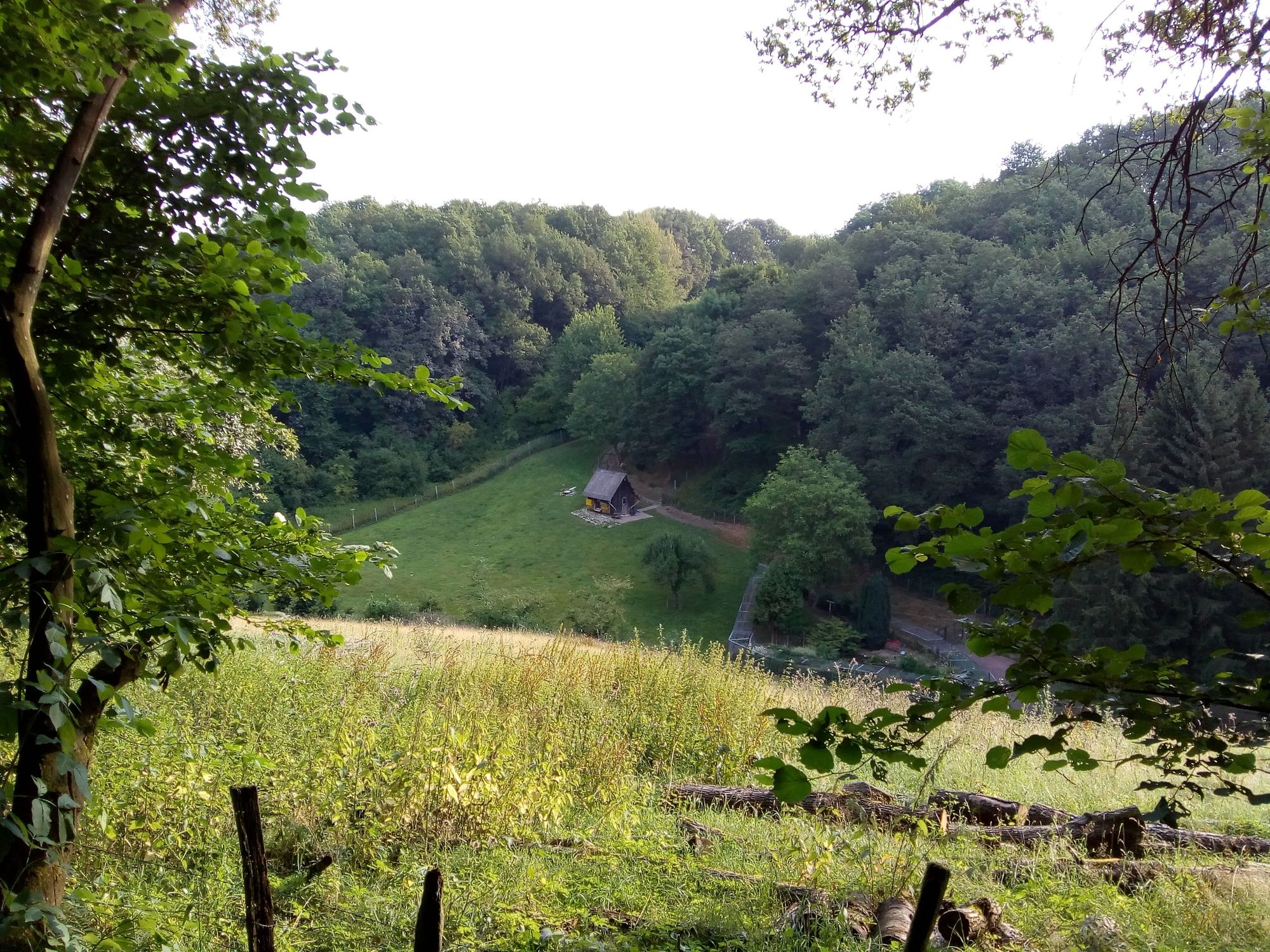
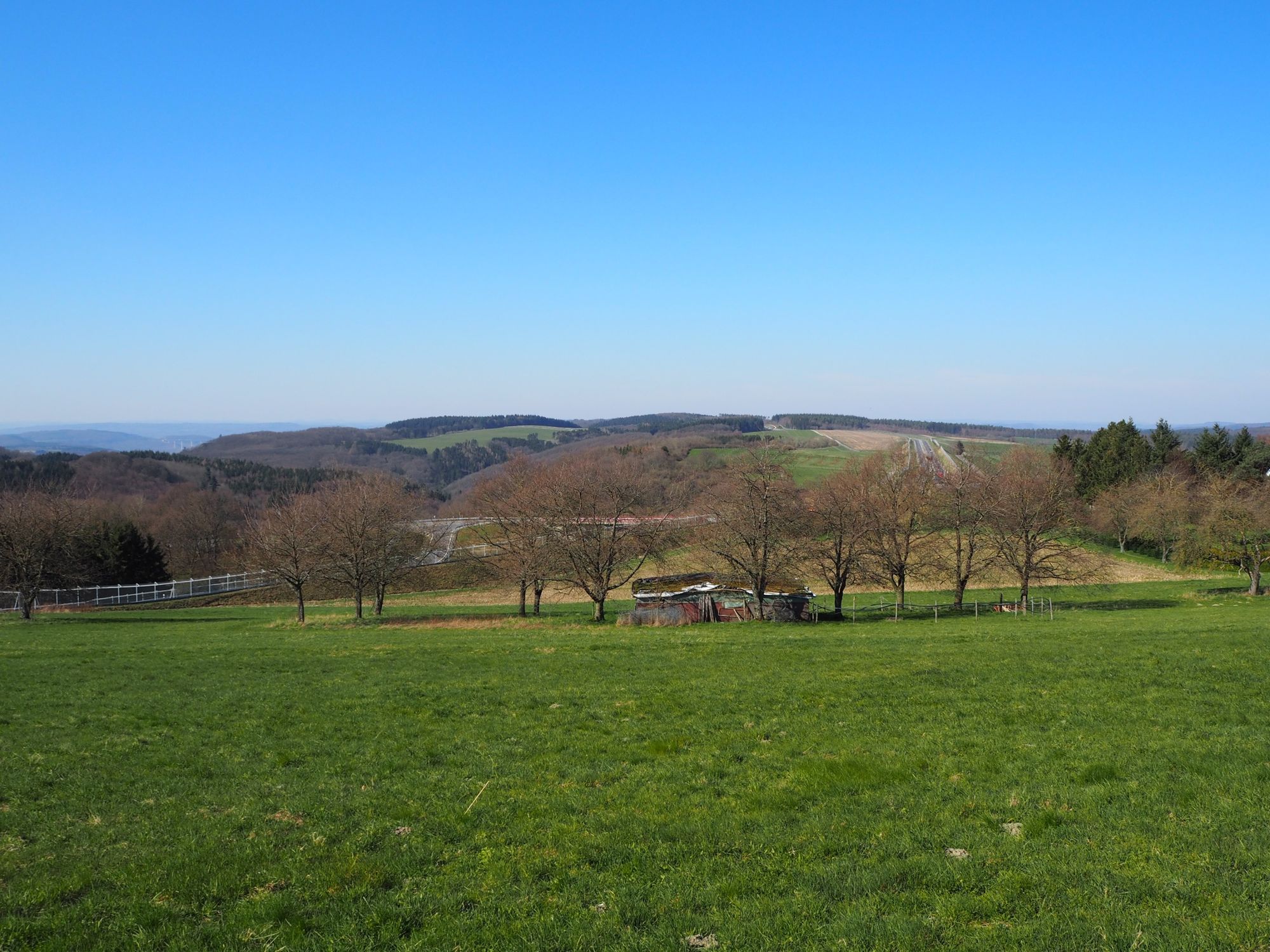
Hiking is done on farm and forest paths, later in Tiefenbachtal.
- Teškoća
-
srednje
- Vrednovanje
-
- Wegverlauf
-
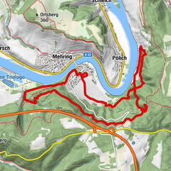
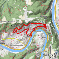
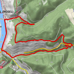
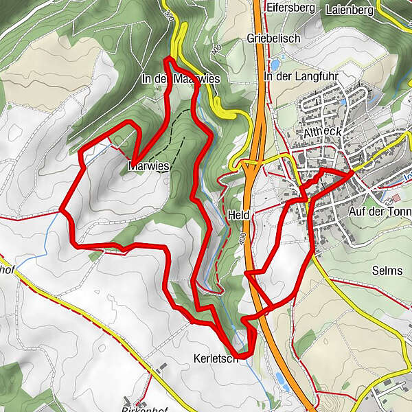
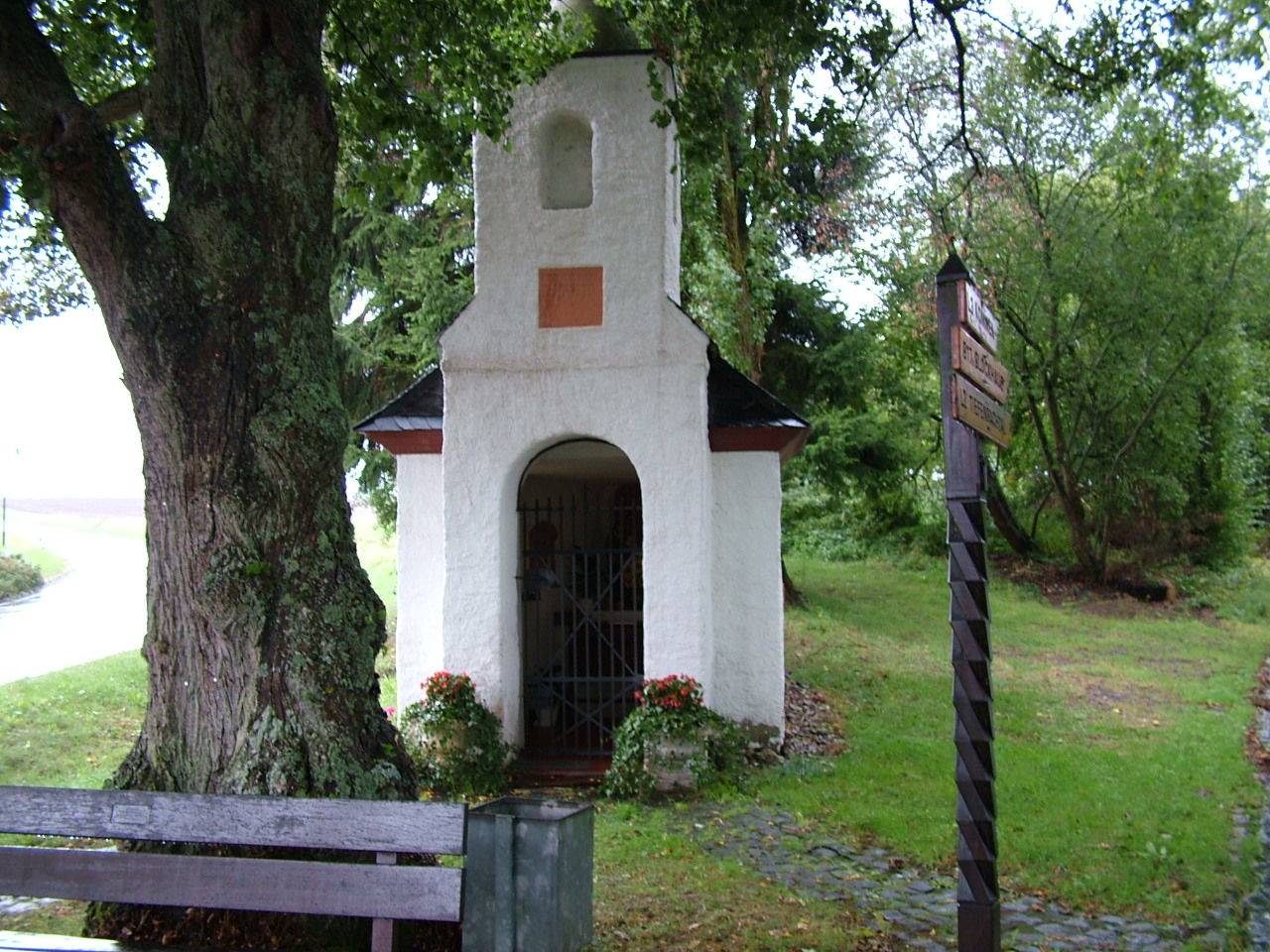
Longkamp0,0 kmSt. Andreas0,1 kmSt. Andreas8,9 kmLongkamp8,9 km
- Beste Jahreszeit
-
sijveljožutrasvilipsrpkolrujlisstupro
- Höchster Punkt
- 444 m
- Zielpunkt
-
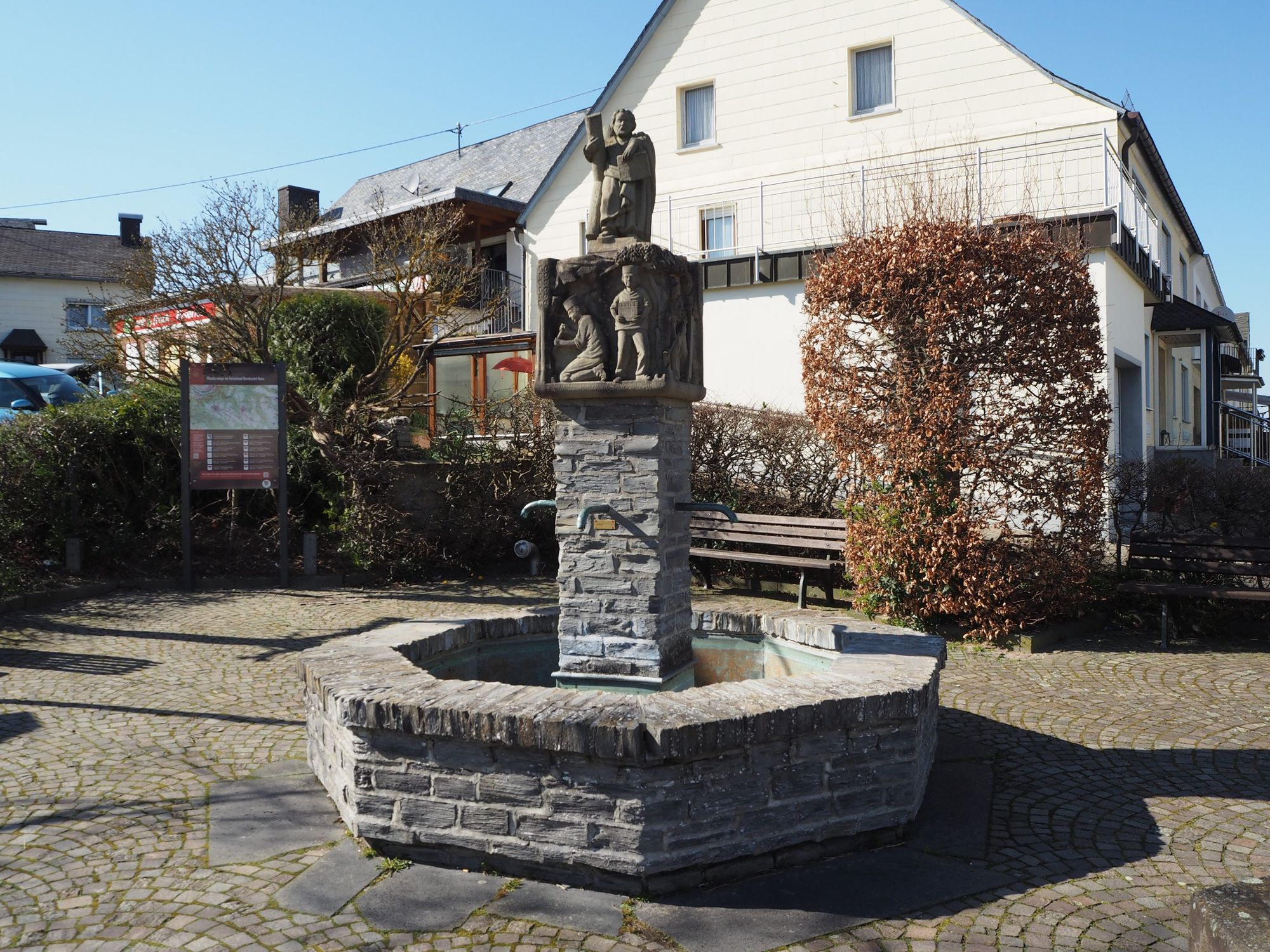
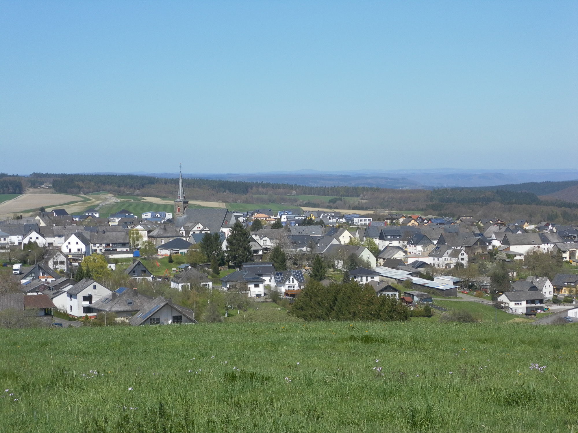
At the village well, in the centre of 54472 Longkamp
- Höhenprofil
-
 © outdooractive.com


-

-
AutorDie Tour Tiefenbach-Tour at the Moselhunsrück near Longkamp wird von outdooractive.com bereitgestellt.
GPS Downloads


Weitere Touren in den Regionen
-
Mosel-Saar
1078
-
Traben-Trarbach
565
-
Morbach
99