- Kratak opis
-
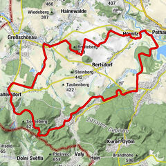
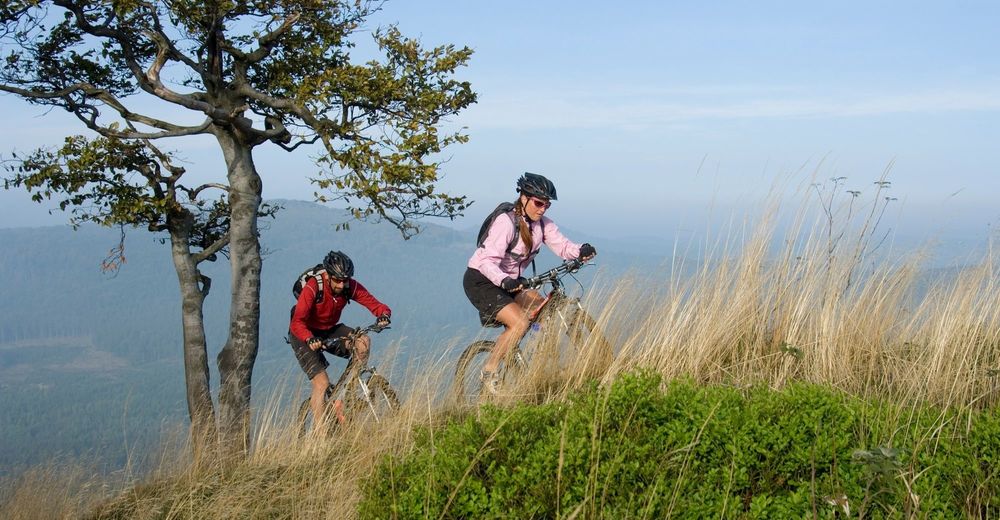
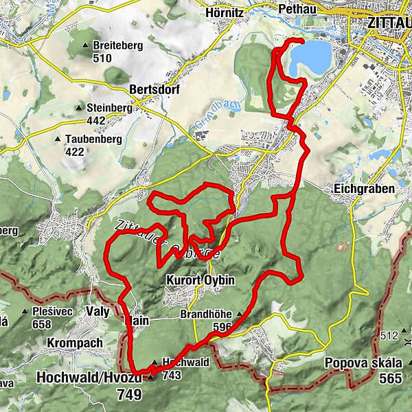
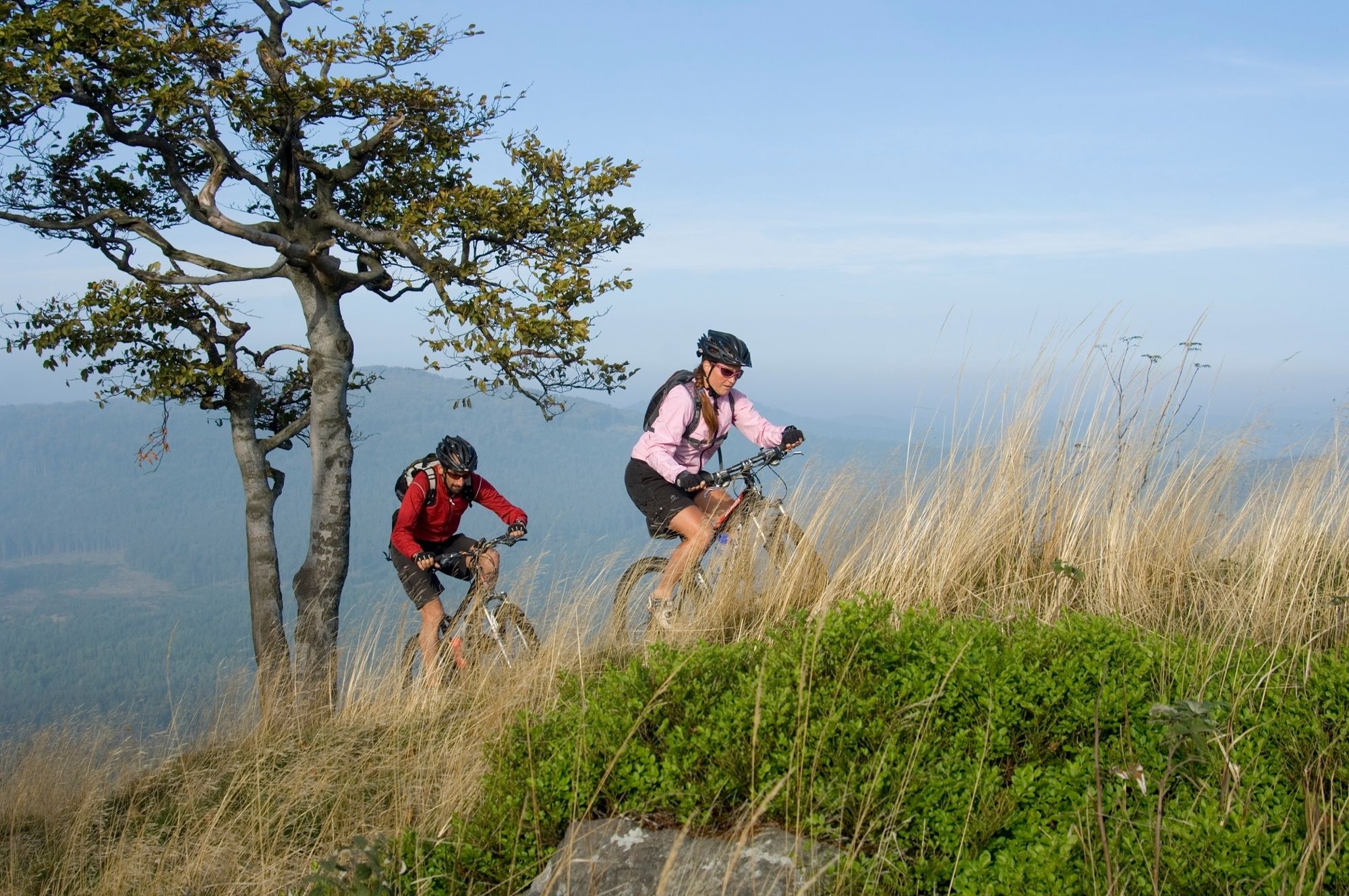
On the XTERRA TRAIL, mountain bikers will experience the whole variety of the Zittau Mountains, including swimming lakes, peaks, forests and sandstone rocks.
- Teškoća
-
teška
- Vrednovanje
-
- Wegverlauf
-
Zittau (242 m)La Montanara0,1 kmKaltenstein4,0 kmBinis Hüttl7,4 kmBrandhöhe (596 m)9,7 kmWaldidyll10,3 kmRastplatz "Am Kammloch"11,0 kmJohannisbrunnen11,8 kmHighwood (749 m)12,5 kmHochwald (743 m)12,7 kmHochwald-Turmbaude12,8 kmKammbaude14,4 kmHain14,4 kmJohannisstein (602 m)14,7 kmStern (545 m)15,5 kmKatzenkerbe (490 m)20,6 kmKaltenstein32,1 kmLa Montanara35,9 kmZittau (242 m)35,9 km
- Beste Jahreszeit
-
sijveljožutrasvilipsrpkolrujlisstupro
- Höchster Punkt
- 732 m
- Höhenprofil
-
 © outdooractive.com
- Autor
-
Die Tour XTERRA TRAIL wird von outdooractive.com bereitgestellt.
GPS Downloads


Putevi
Pokus
Opće informacije
Einkehrmöglichkeit
Flora
Weitere Touren in den Regionen