© LEIPZIG REGION - TV LN

© LEIPZIG REGION - TV LN

- Kratak opis
-
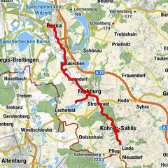
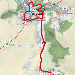
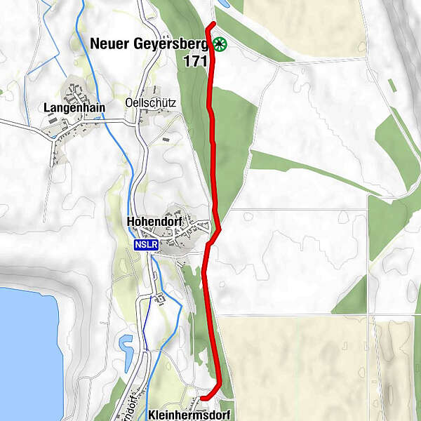
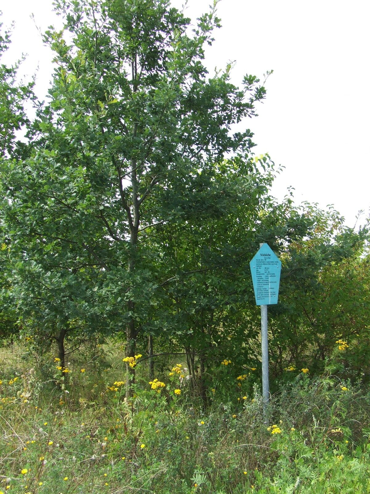
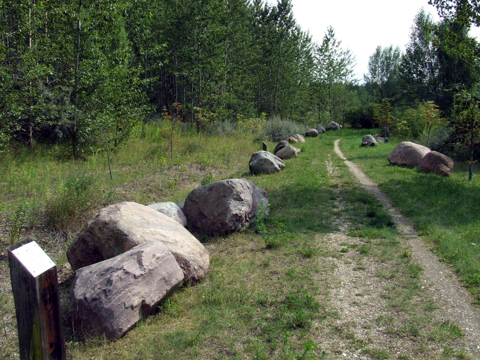
Naturkundlicher und geologischer Themenweg in der Nähe von Groitzsch.
- Teškoća
-
lagano
- Vrednovanje
-
- Wegverlauf
-
Neuer Geyersberg (171 m)0,1 kmHohendorf1,3 kmKleinhermsdorf1,9 kmNehmitz2,0 kmBerndorf2,2 km
- Beste Jahreszeit
-
sijveljožutrasvilipsrpkolrujlisstupro
- Höchster Punkt
- 166 m
- Höhenprofil
-
 © outdooractive.com
-

-
AutorDie Tour Pfad des Baumes und Geologischer Lehrpfad Hohendorf wird von outdooractive.com bereitgestellt.
GPS Downloads


Opće informacije
Flora
Weitere Touren in den Regionen
-
Region Leipzig
186
-
Leipziger Neuseenland
81
-
Groitzsch
19