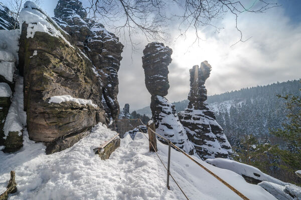
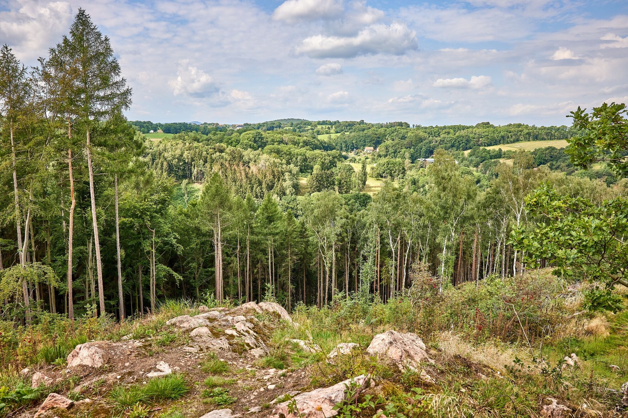
© Tourismusverband Sächsische Schweiz - Mario Scheinert

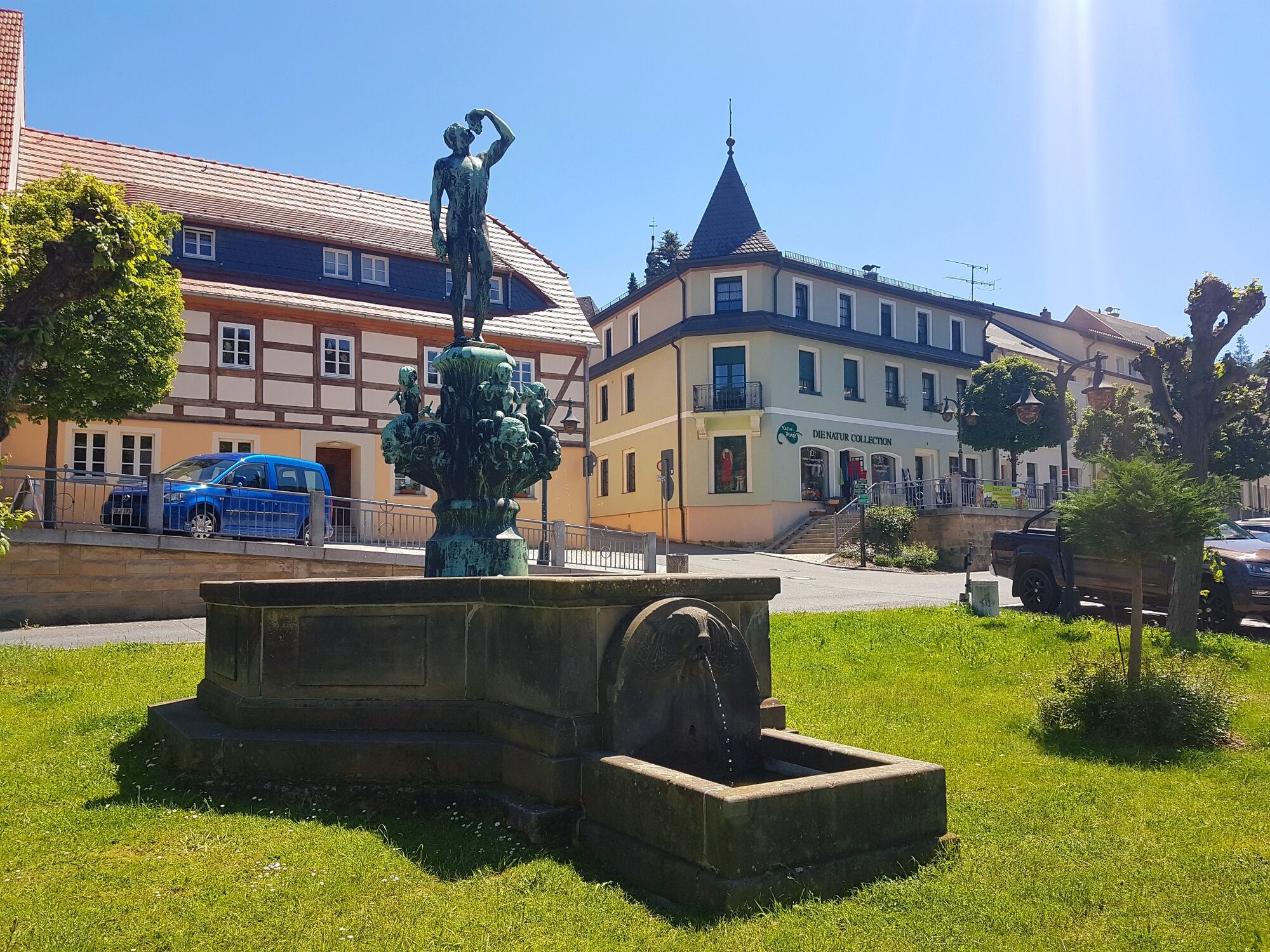
© Tourismusverband Sächsische Schweiz - Touristinformation Bad Gottleuba-Berggießhübel
- Kratak opis
-
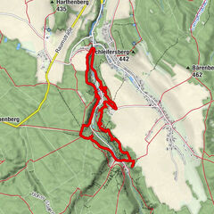
The new forest nature trail in the Tannenbusch in Bad Gottleuba tells of the disappearance and emergence of a forest.
- Teškoća
-
srednje
- Vrednovanje
-
- Wegverlauf
-
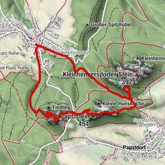
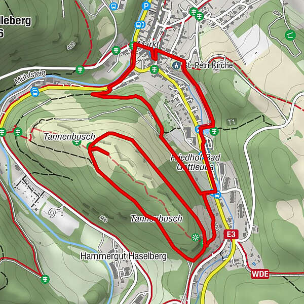
Gasthof Hillig0,0 kmTannenbusch2,0 kmSt.-Petri-Kirche3,7 kmBad Gottleuba-Berggießhübel3,9 km
- Beste Jahreszeit
-
sijveljožutrasvilipsrpkolrujlisstupro
- Höchster Punkt
- 448 m
- Zielpunkt
-
Market Bad Gottleuba
- Höhenprofil
-
 © outdooractive.com
- Autor
-
Die Tour Forest nature trail in the Tannenbusch Bad Gottleuba wird von outdooractive.com bereitgestellt.
GPS Downloads


Opće informacije
Einkehrmöglichkeit
Flora
Fauna
Aussichtsreich
Weitere Touren in den Regionen
-
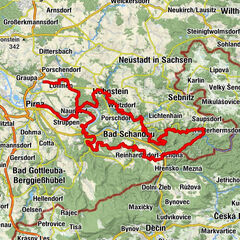
Sächsische Schweiz
1393
-
Erzgebirge
618
-
Bad Gottleuba-Berggießhübel
260