Flößerstube - Hoher Torstein - Viererturm - Schmilka
heavy
Navigate
Navigate
Get this tour on your mobile
Flößerstube - Hoher Torstein - Viererturm - Schmilka
heavy
Pješačenje
13,67
km
Scan the QR code and start navigation in the bergfex app

Hiking & Tracking


Distance
13,67
km
Duration
04:34
h
Ascent
745
m
Sea level
143 -
466
m
Track download
Flößerstube - Hoher Torstein - Viererturm - Schmilka
heavy
Pješačenje
13,67
km


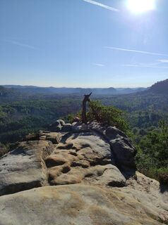
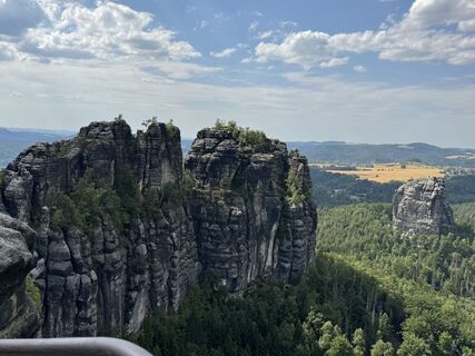
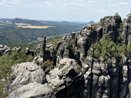
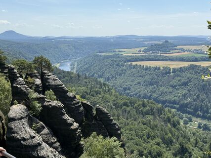
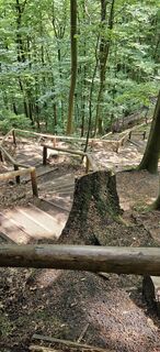
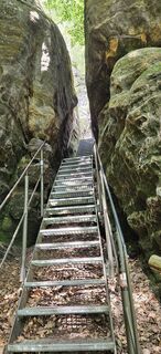
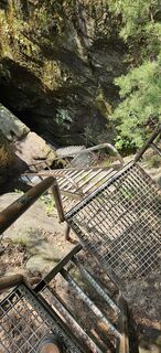
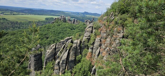
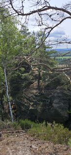
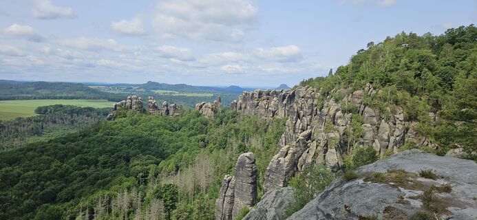
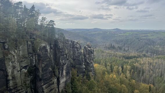
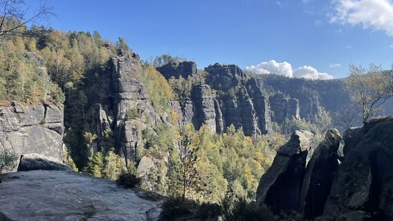
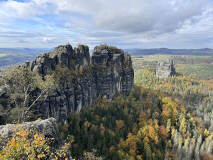
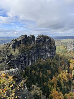
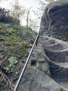
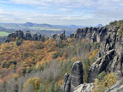
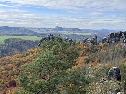
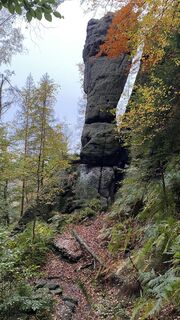
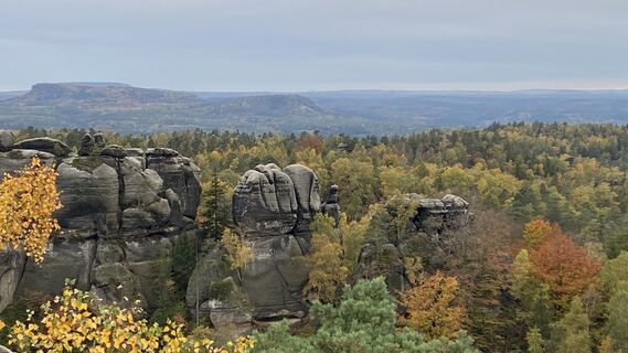
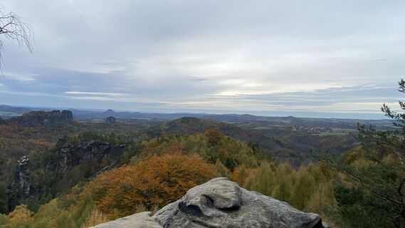
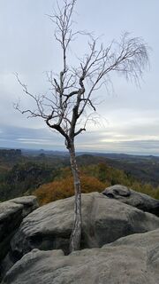
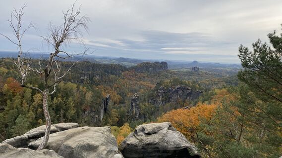
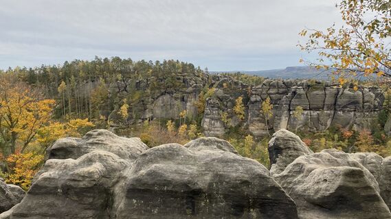
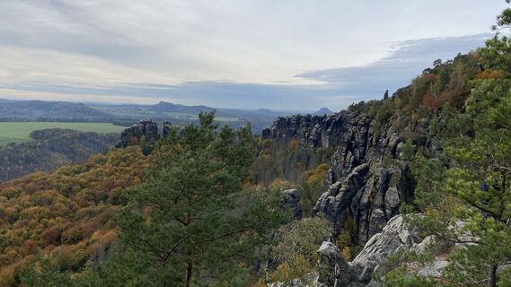
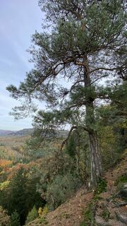
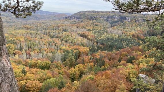
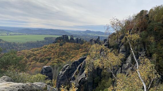
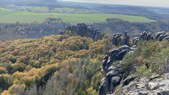
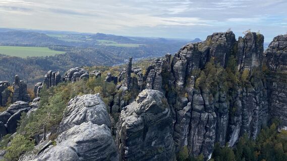
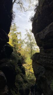
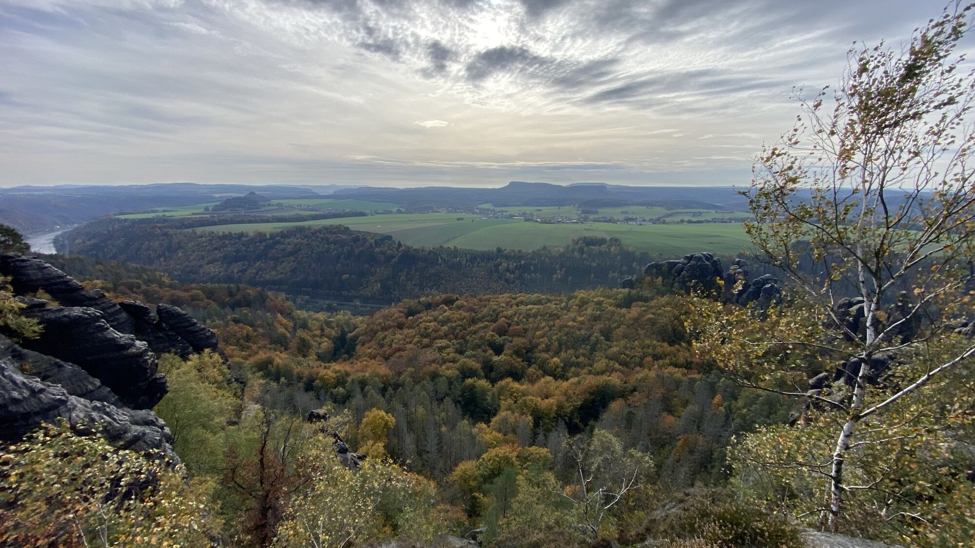
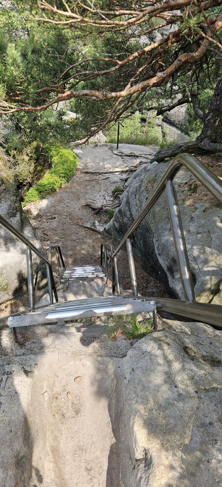
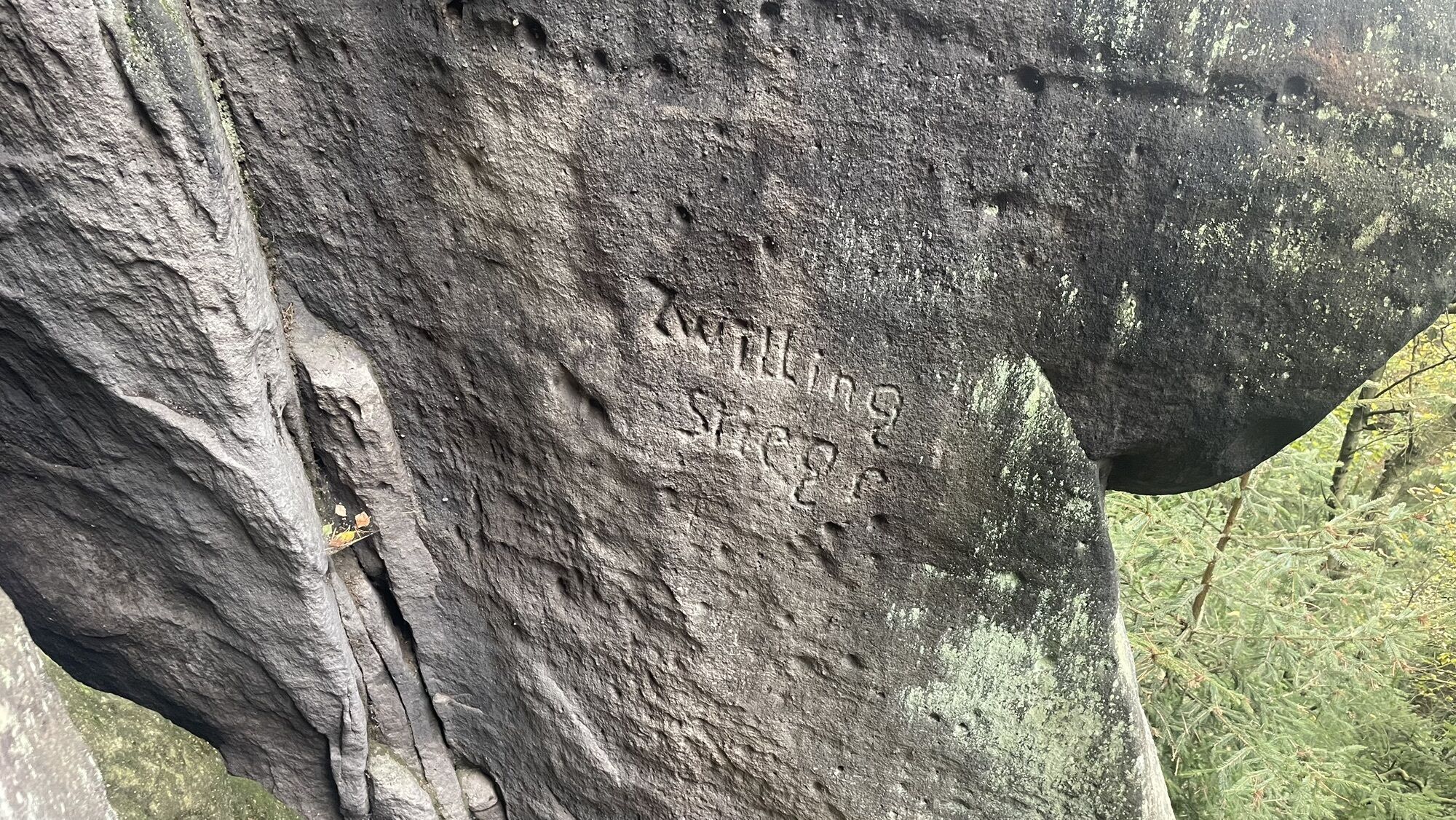
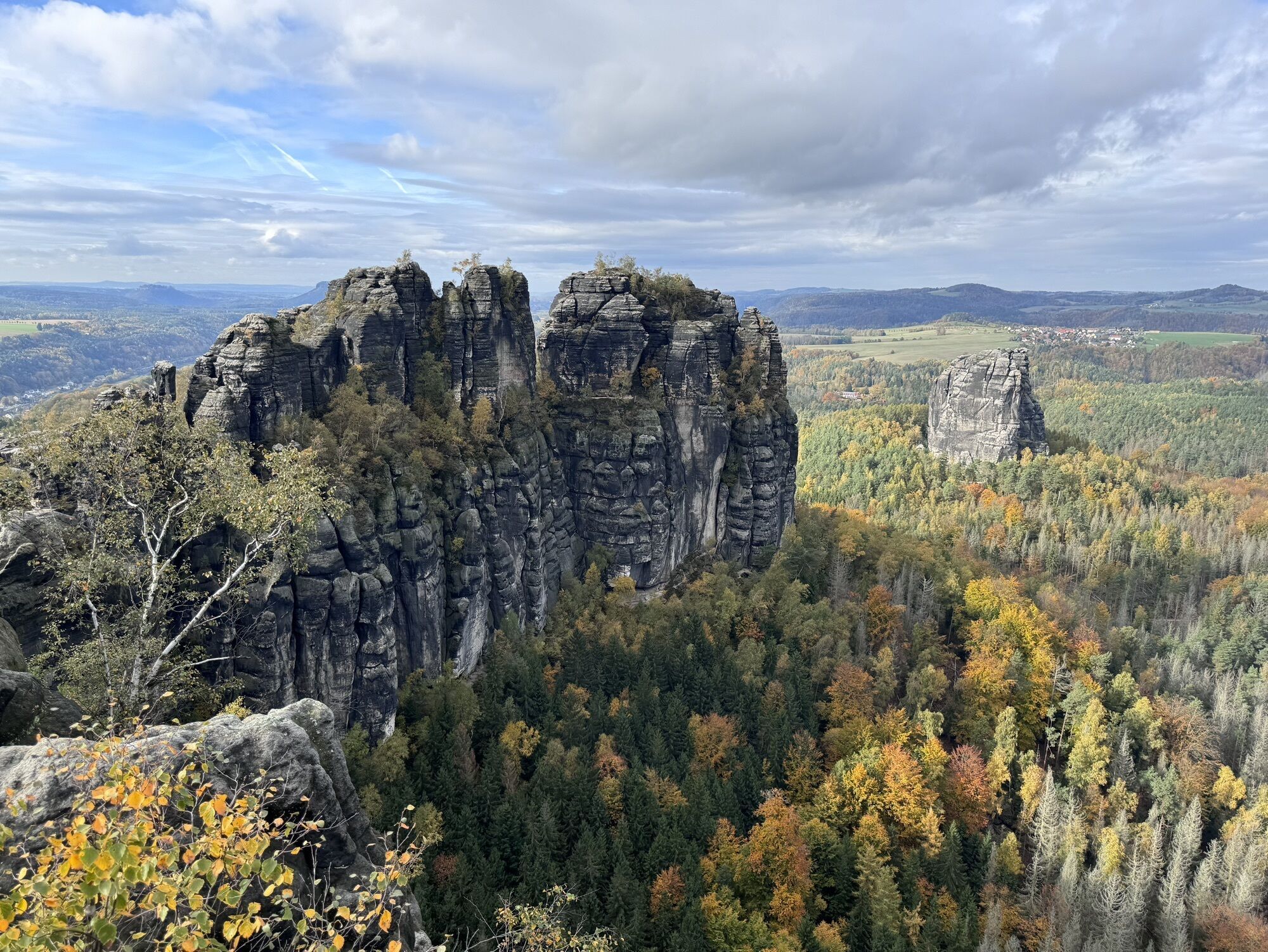
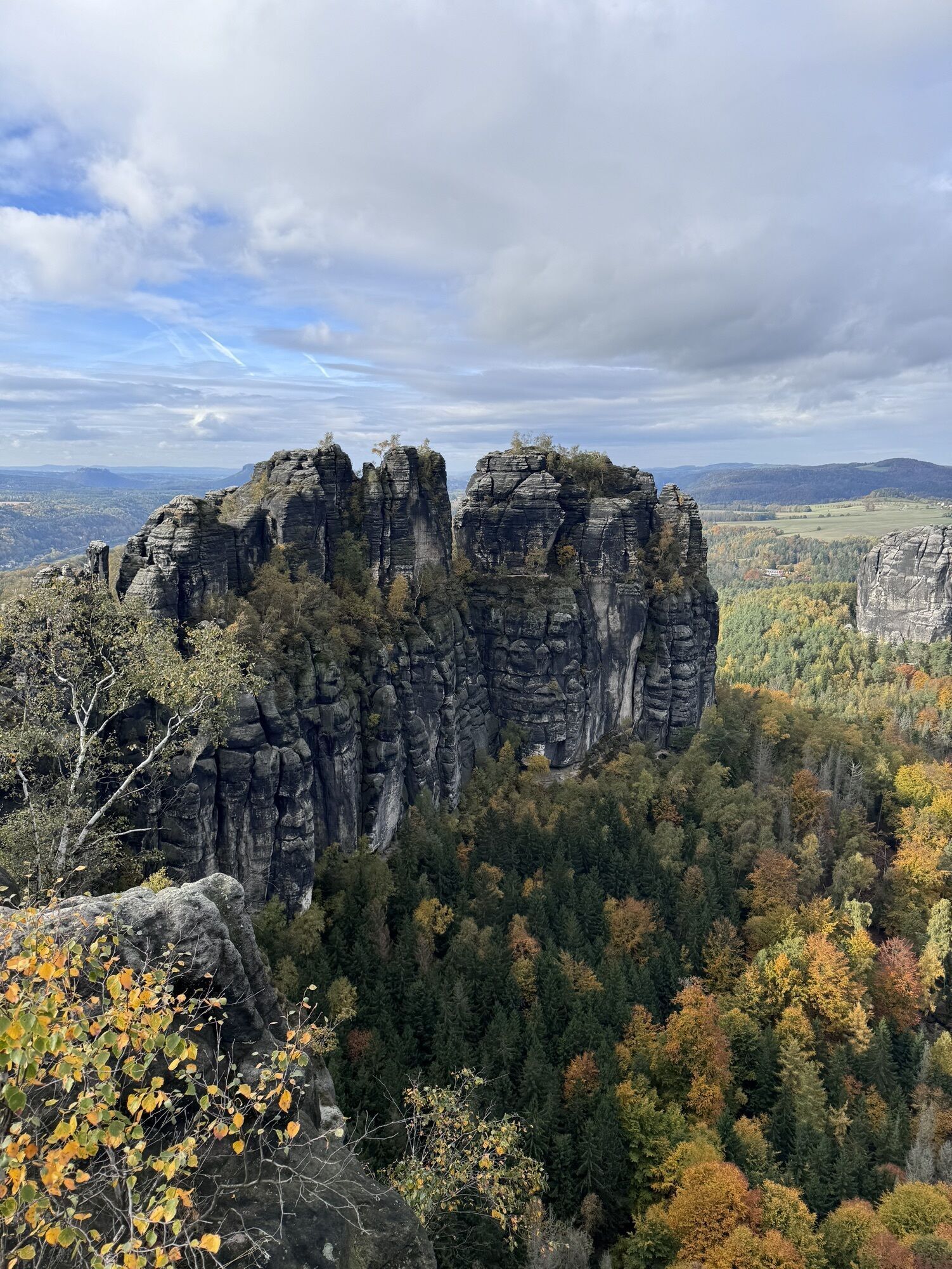
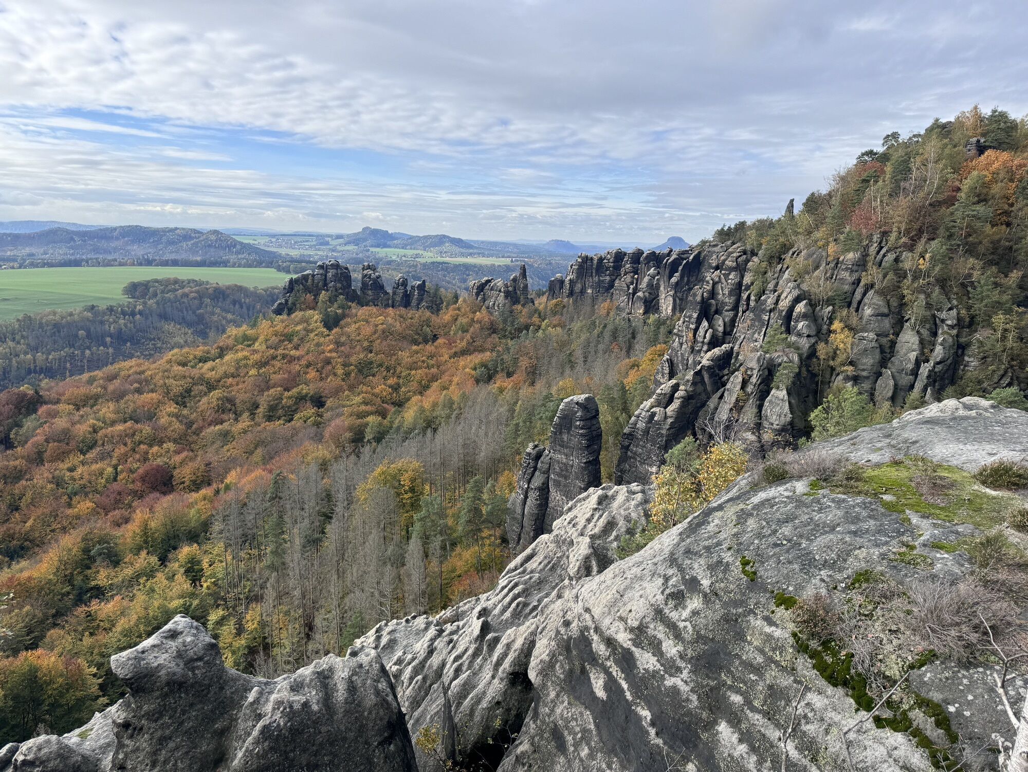
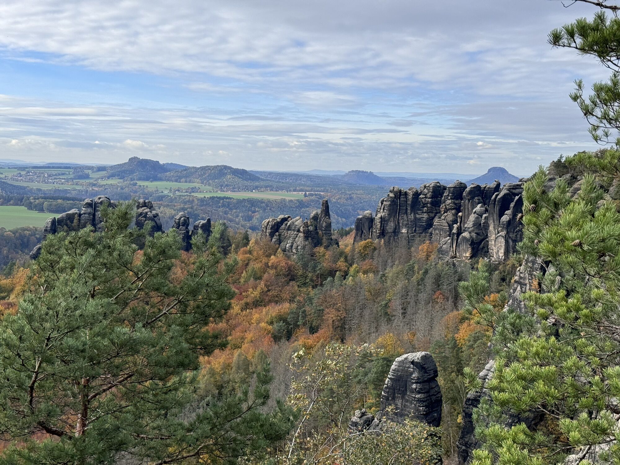
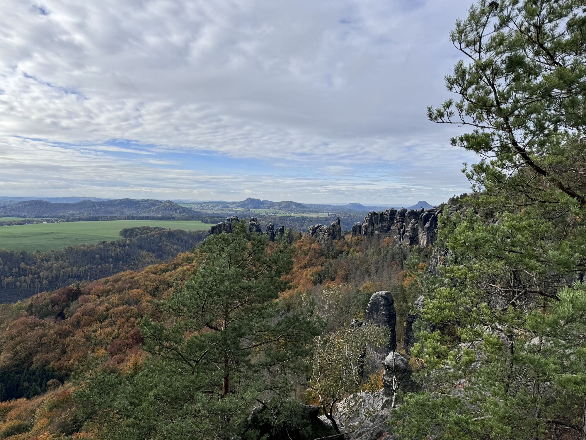
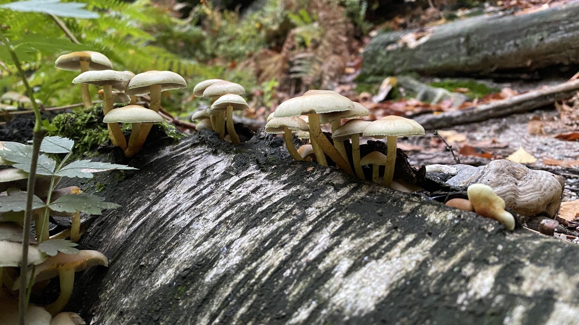
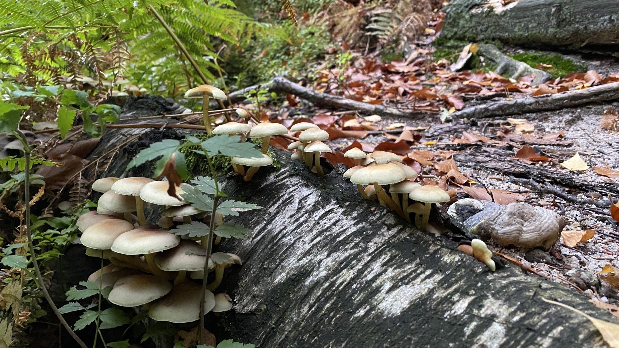
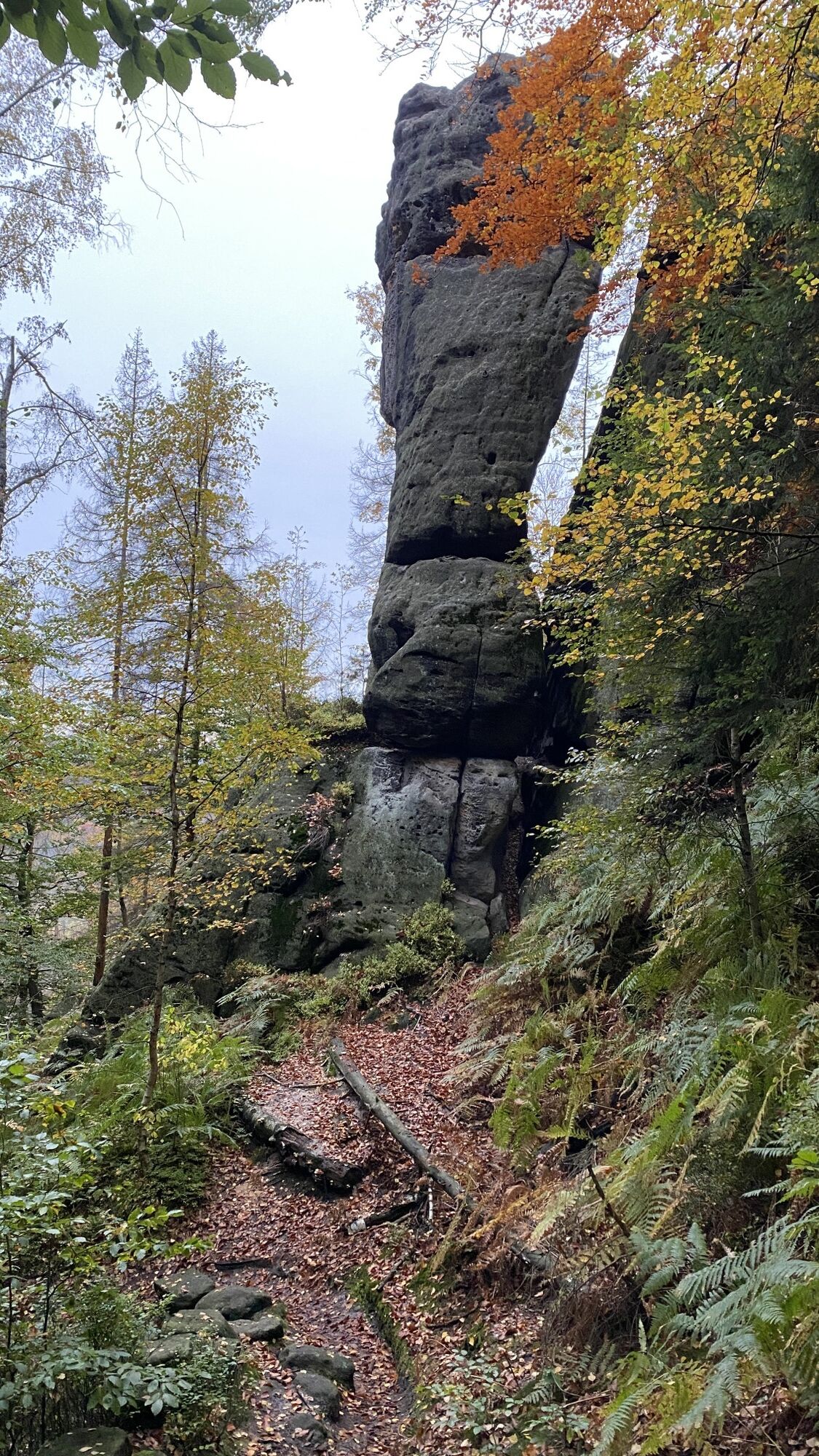
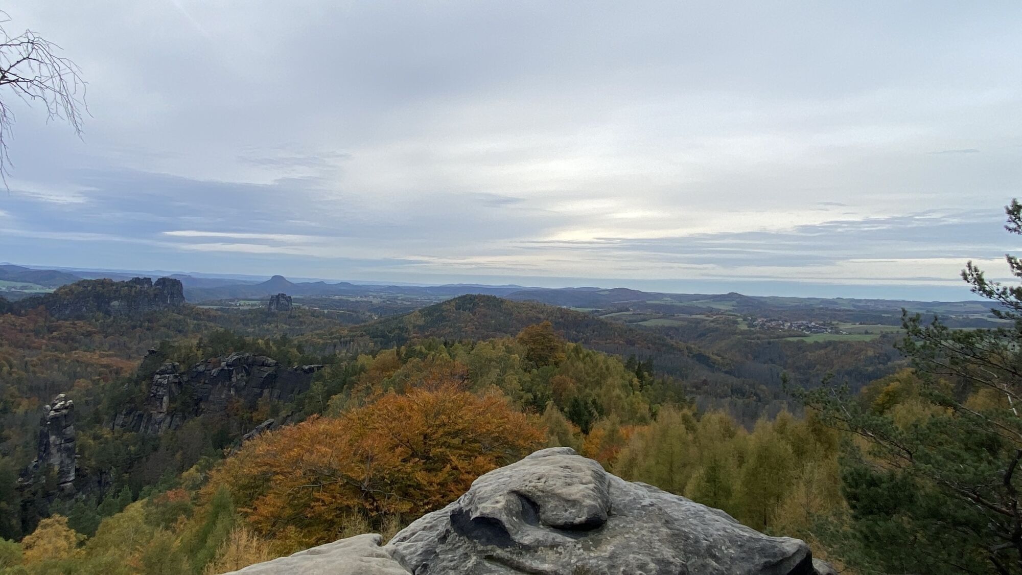
Photos from our users
-

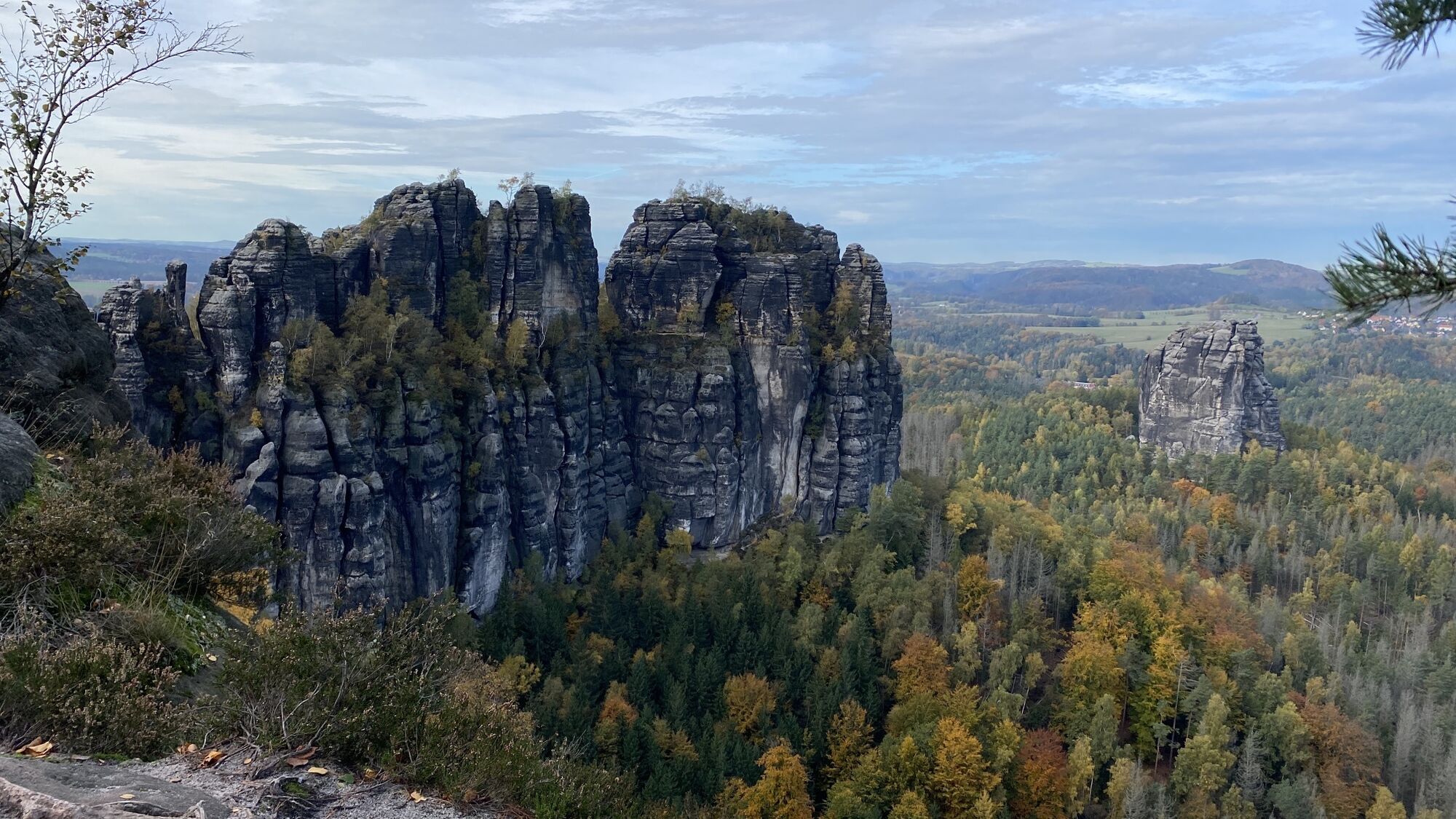
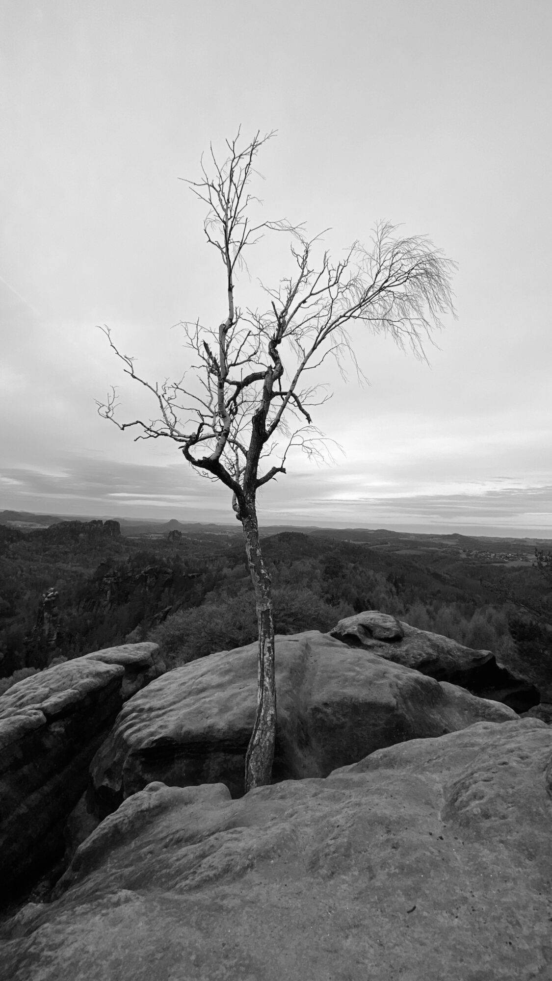
 © Ma WaCreated on 30.10.2023
 -
 © Ma WaCreated on 30.10.2023
 -
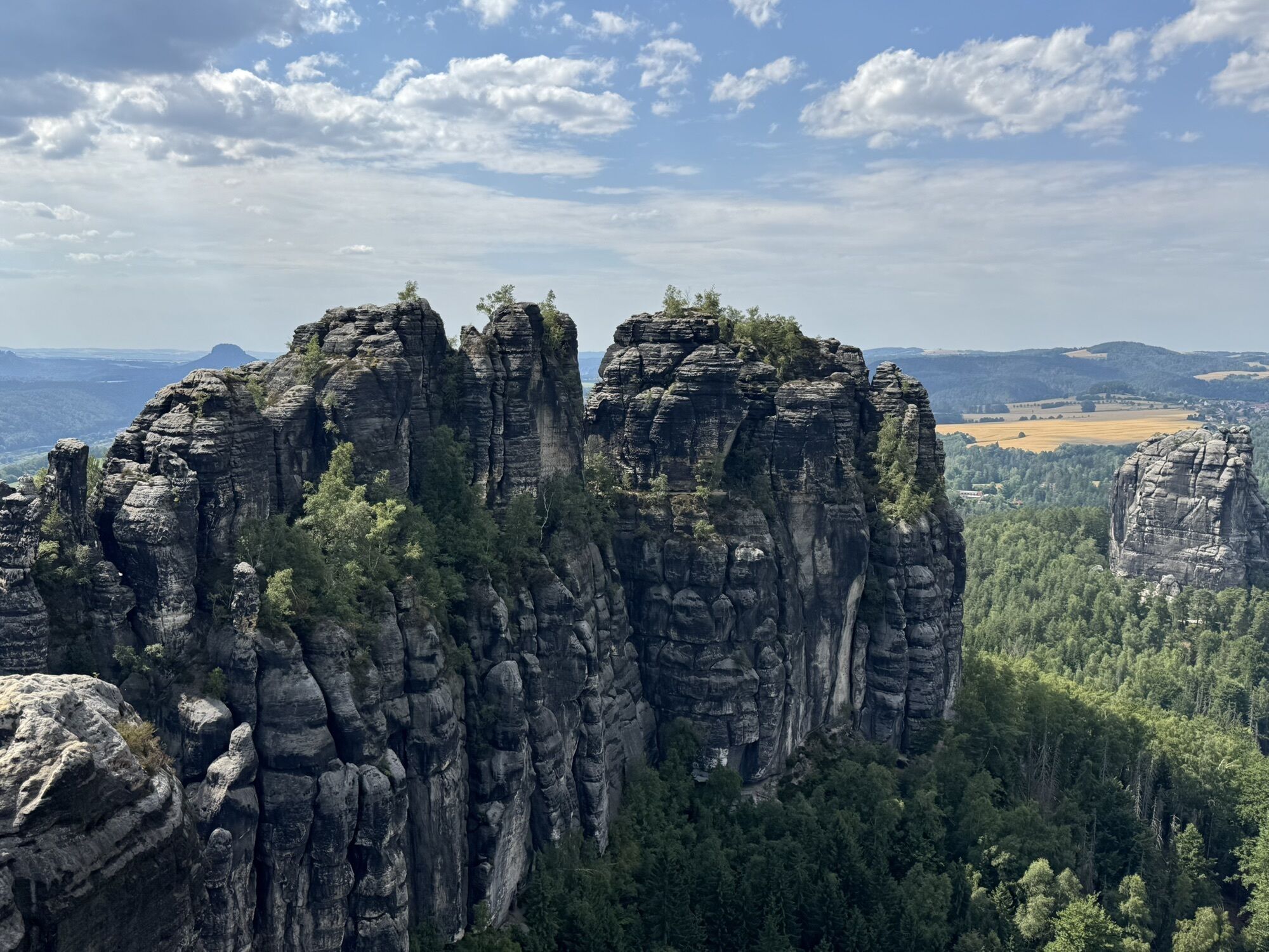
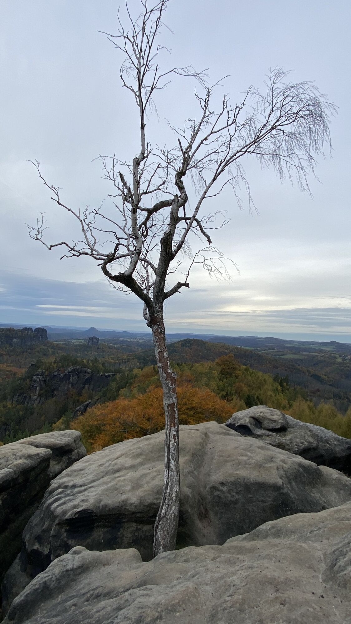
 © PhilippCreated on 26.08.2025
 -
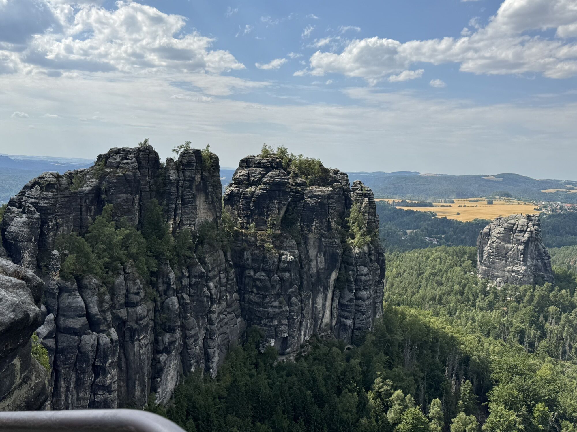
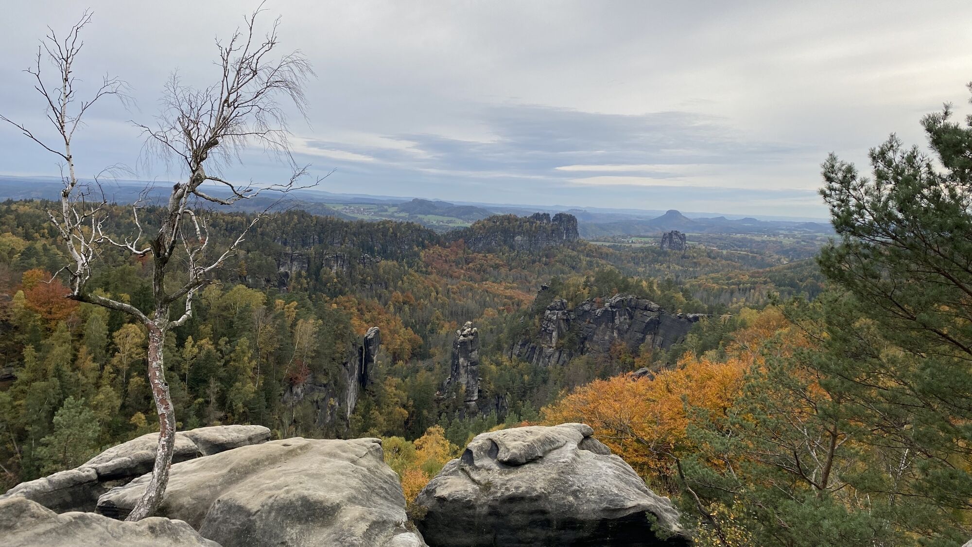
 © Oliver FlatauCreated on 05.07.2025
 -
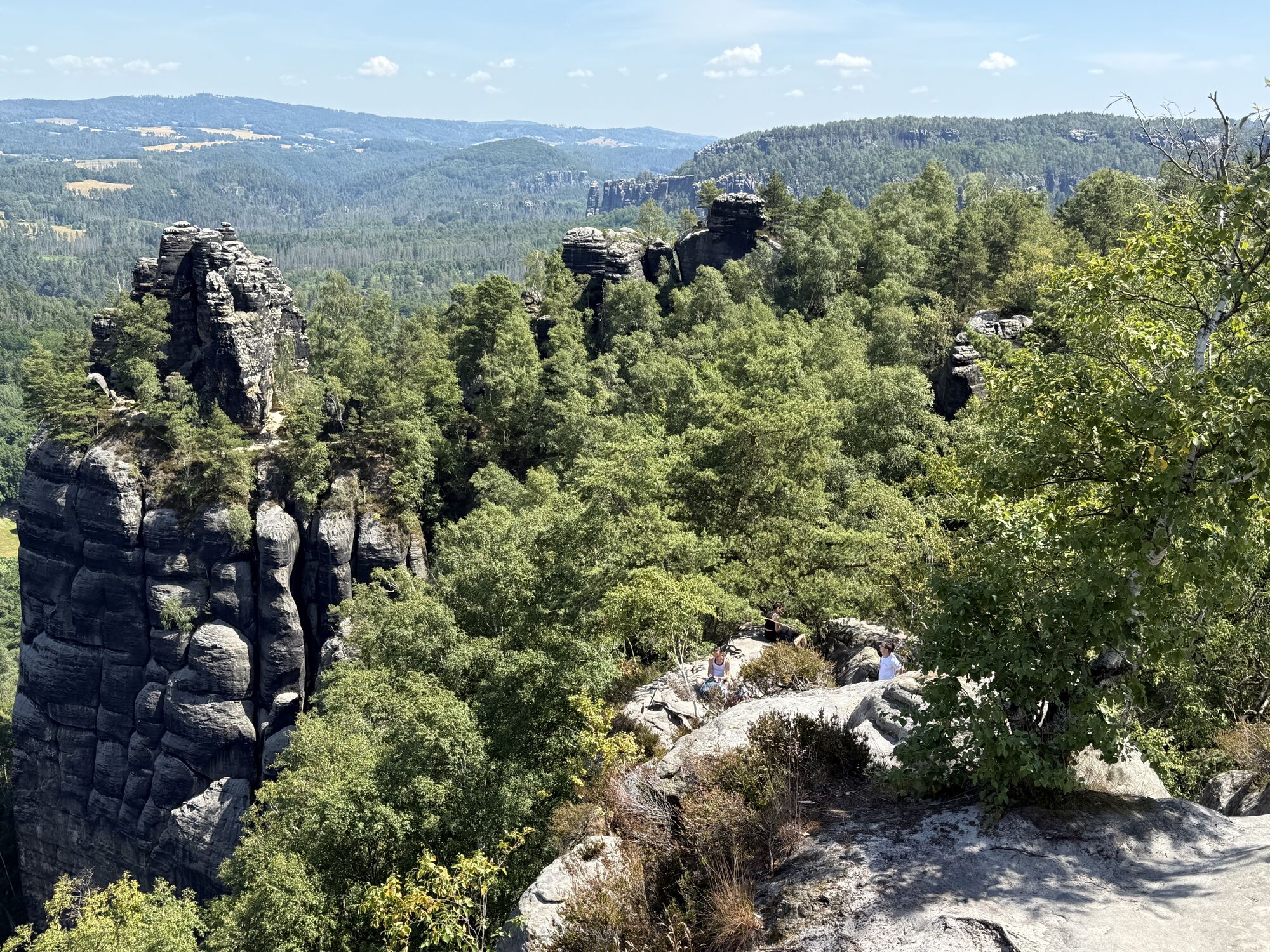
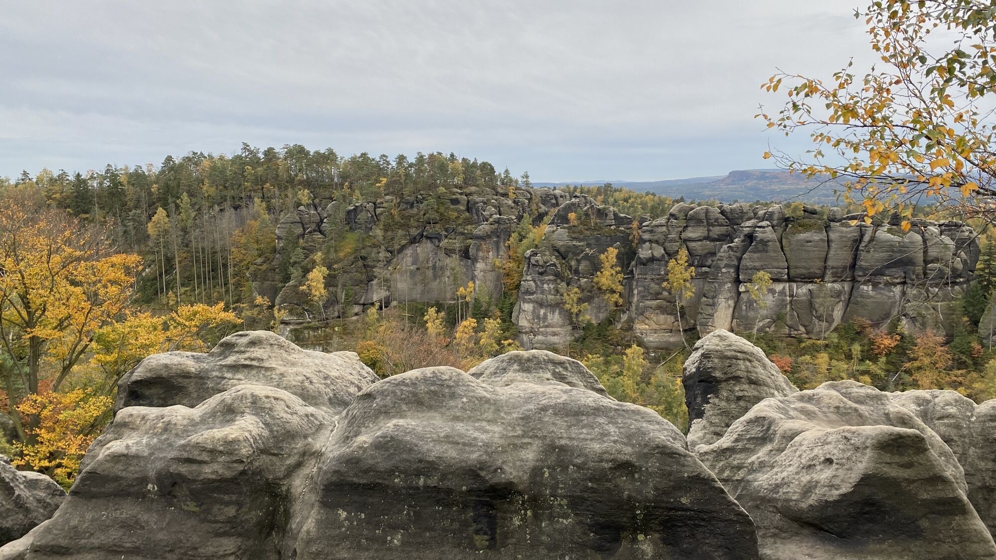
 © Oliver FlatauCreated on 05.07.2025
 -
 © Oliver FlatauCreated on 05.07.2025
 -
 © Heike BlaurockCreated on 05.07.2025
 -
 © Heike BlaurockCreated on 05.07.2025
 -
 © Heike BlaurockCreated on 05.07.2025
 -
 © Heike BlaurockCreated on 05.07.2025
 -
 © Andreas HenningCreated on 09.06.2025
 -
 © Andreas HenningCreated on 09.06.2025
 -
 © Andreas HenningCreated on 09.06.2025
 -
 © Andreas HenningCreated on 09.06.2025
 -
 © Andreas HenningCreated on 09.06.2025
 -
 © Andreas HenningCreated on 09.06.2025
 -
 © Andreas HenningCreated on 09.06.2025
 -
 © Andreas HenningCreated on 09.06.2025
 -
 © michael lierkaCreated on 12.10.2024
 -
 © michael lierkaCreated on 12.10.2024
 -
 © michael lierkaCreated on 12.10.2024
 -
 © Stephan BosseCreated on 01.11.2023
 -
 © Stephan BosseCreated on 01.11.2023
 -
 © Stephan BosseCreated on 01.11.2023
 -
 © Stephan BosseCreated on 01.11.2023
 -
 © Stephan BosseCreated on 01.11.2023
 -
 © Stephan BosseCreated on 01.11.2023
 -
 © Stephan BosseCreated on 01.11.2023
 -
 © Stephan BosseCreated on 01.11.2023
 -
 © Stephan BosseCreated on 01.11.2023
 -
 © Ma WaCreated on 30.10.2023
 -
 © Ma WaCreated on 30.10.2023
 -
 © Ma WaCreated on 30.10.2023
 -
 © Ma WaCreated on 30.10.2023
 -
 © Ma WaCreated on 30.10.2023
 -
 © Ma WaCreated on 30.10.2023
 -
 © Ma WaCreated on 30.10.2023
 -
 © Ma WaCreated on 30.10.2023
 -
 © Ma WaCreated on 30.10.2023
 -
 © Ma WaCreated on 30.10.2023
 -
 © Ma WaCreated on 30.10.2023
 -
 © Ma WaCreated on 30.10.2023
 -
 © Ma WaCreated on 30.10.2023
 -
 © Ma WaCreated on 30.10.2023
 -
 © Ma WaCreated on 30.10.2023
 -
 © Ma WaCreated on 30.10.2023
 -
 © Ma WaCreated on 30.10.2023
 -
 © Ma WaCreated on 30.10.2023


Route
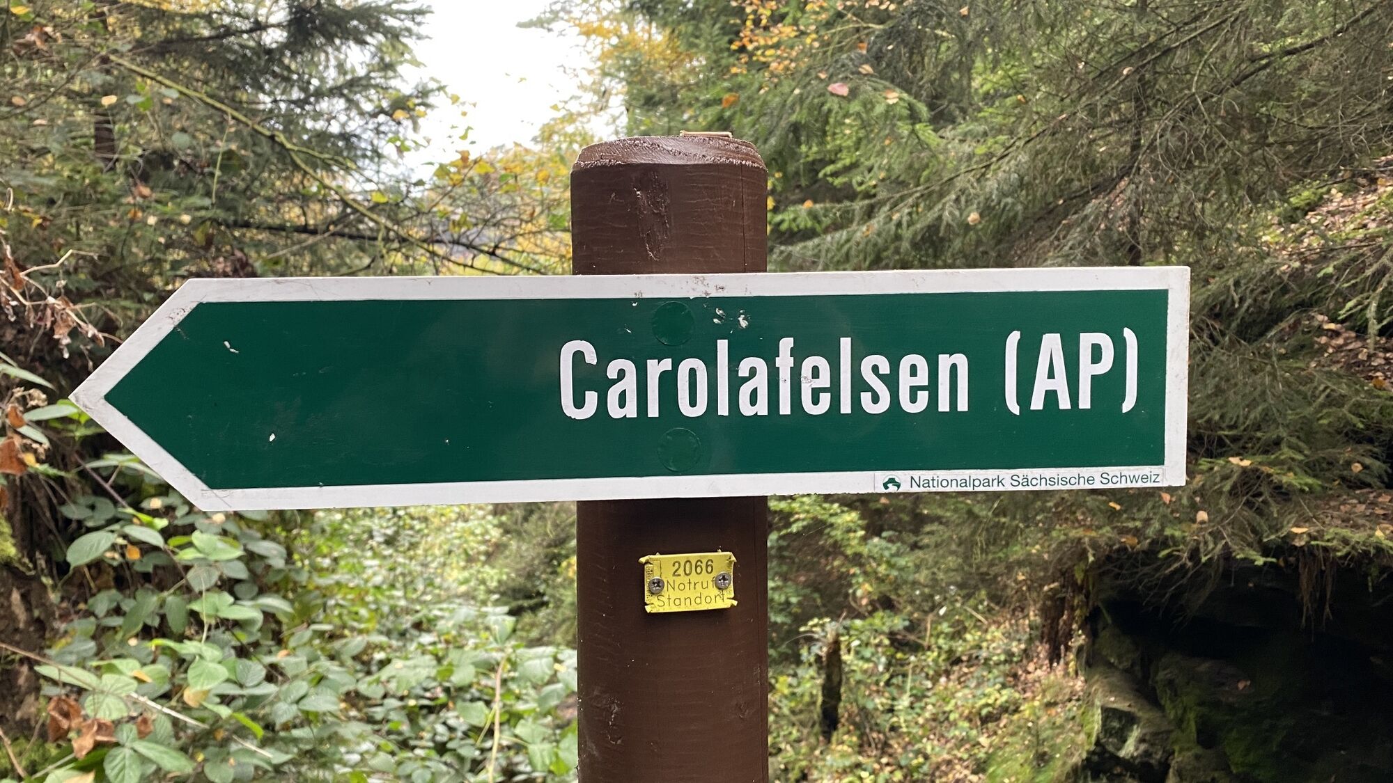
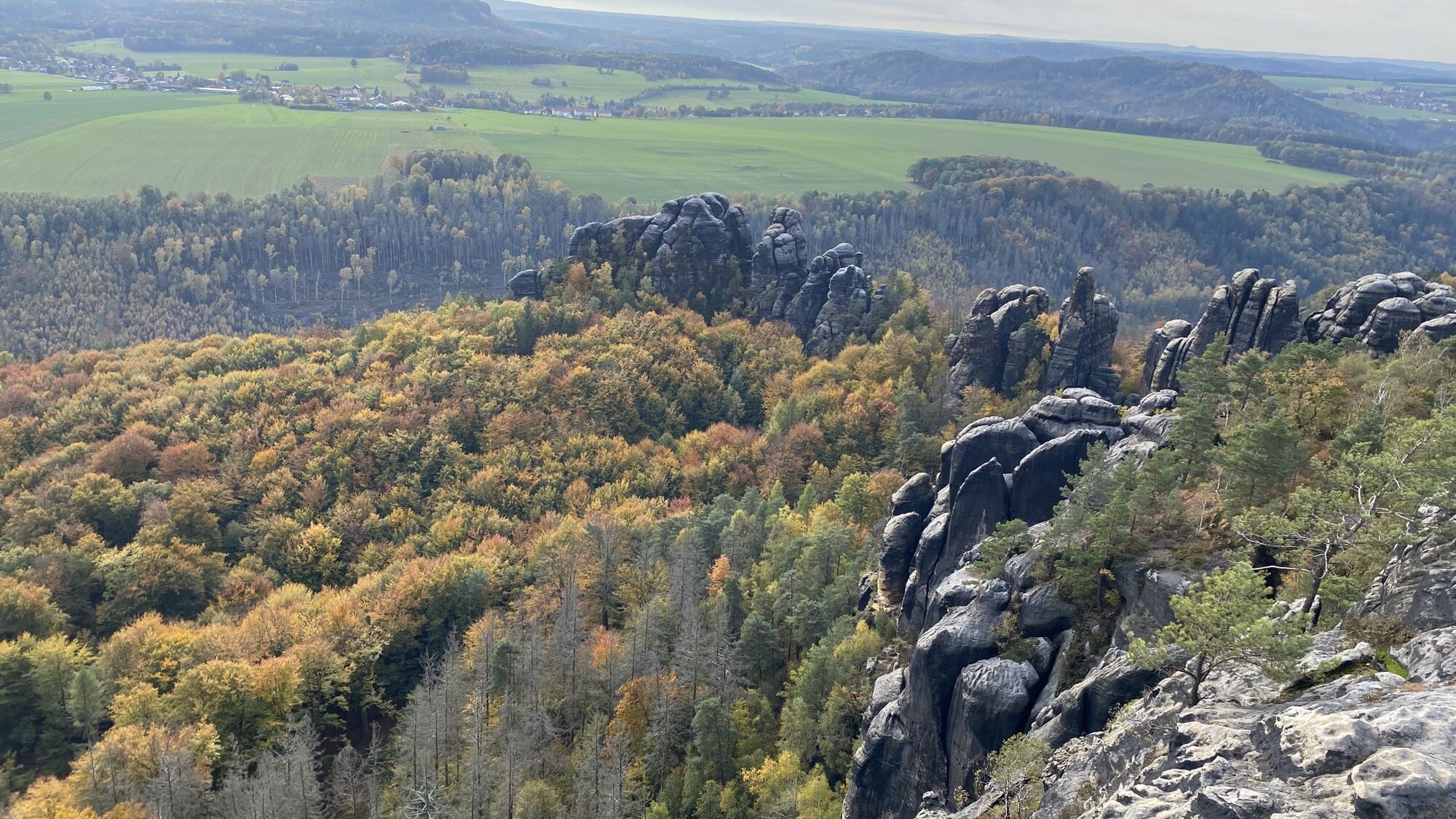
Hoher Torstein
(424 m)
Summit
2,5 km
Schrammtorfreund
(321 m)
Summit
3,1 km
Mädel
(326 m)
Summit
3,7 km
Bloßstock
(287 m)
Summit
8,0 km
Teufelsspitze
(354 m)
Summit
8,5 km
Affenhorn
(381 m)
Summit
9,3 km
Bussardwand
(397 m)
Summit
11,3 km
Route
Flößerstube - Hoher Torstein - Viererturm - Schmilka
heavy
Pješačenje
13,67
km
Flößerstube
(139 m)
Restaurant
0,0 km
Ostrauer Mühle
(146 m)
Settlement
0,2 km
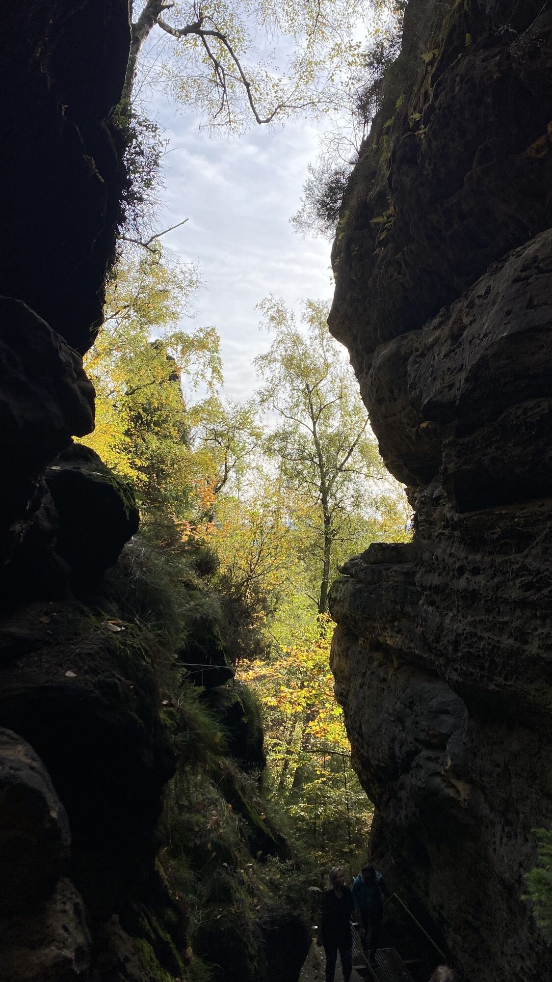
Liebentor
(286 m)
Corridor/terrain
1,7 km
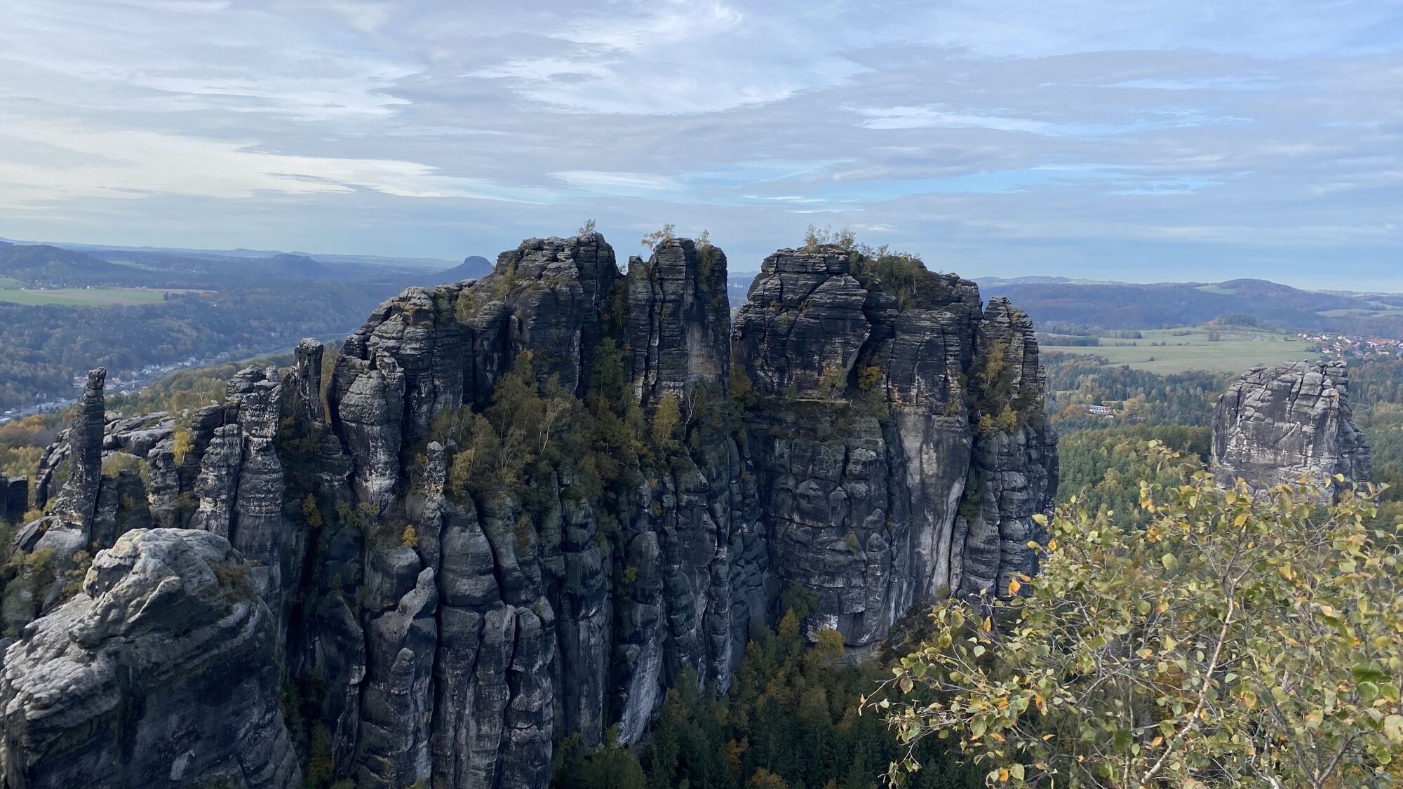
Hoher Torstein
(424 m)
Summit
2,5 km
Viererturm
(319 m)
Summit
2,9 km
Spitzer Turm
(342 m)
Summit
3,1 km
Unbenannte Spitze
(344 m)
Summit
3,1 km
Schrammtor
(319 m)
Corridor/terrain
3,1 km
Schrammtorwächter
(357 m)
Summit
3,1 km
Gottfried-Bauch-Spitze
(320 m)
Summit
3,1 km
Schrammtorfreund
(321 m)
Summit
3,1 km
Ostervorturm
(320 m)
Summit
3,1 km
Südlicher Osterturm
(366 m)
Summit
3,1 km
Zackenkrone
(316 m)
Summit
3,2 km
Max und Moritz
(318 m)
Summit
3,2 km
Fotografenspitze
(326 m)
Summit
3,3 km
Östlicher Schrammturm
(332 m)
Summit
3,3 km
Schrammsteinnadel
(319 m)
Summit
3,4 km
Schrammsteinkegel
(322 m)
Summit
3,4 km
Wetterhaube
(358 m)
Summit
3,6 km
Mädel
(326 m)
Summit
3,7 km
Jungfer
(317 m)
Summit
3,8 km
Eunuch
(317 m)
Summit
3,9 km
Wildschützenkopf
(341 m)
Summit
3,9 km
Wildschützennadel
(341 m)
Summit
3,9 km
Neffe
(374 m)
Summit
4,3 km
Schrammsteine
(385 m)
Summit
4,3 km
Schrammsteinwächter
(397 m)
Summit
4,3 km
Elbaussicht
(403 m)
Viewpoint
4,4 km
Schrammsteine
(389 m)
Summit
4,5 km
Bloßstock
(287 m)
Summit
8,0 km
Kreuzturm
(296 m)
Summit
8,1 km
Morsche Zinne
(298 m)
Summit
8,1 km
Falsche Zinne
(301 m)
Summit
8,2 km
Nonnengärtner
(307 m)
Summit
8,2 km
Amboss
(309 m)
Summit
8,3 km
Brosinnadel
(311 m)
Summit
8,4 km
Flachsköpfe
(326 m)
Summit
8,4 km
Freie Wand
(335 m)
Summit
8,4 km
Panoramaturm
(345 m)
Summit
8,4 km
Teufelsspitze
(354 m)
Summit
8,5 km
Leuchterweibchen-Vorkopf
(389 m)
Summit
8,5 km
Jammerspitze
(377 m)
Summit
8,6 km
Dämon
(405 m)
Summit
8,9 km
Wotan
(393 m)
Summit
8,9 km
Brückenturm
(377 m)
Summit
8,9 km
Gipfelbubenkopf
(391 m)
Summit
8,9 km
Bauerlochturm
(375 m)
Summit
9,0 km
Klosterwächter
(340 m)
Summit
9,1 km
Nordstern
(384 m)
Summit
9,1 km
Affenhorn
(381 m)
Summit
9,3 km
Knochenturm
(392 m)
Summit
9,3 km
Backzahn
(410 m)
Summit
9,4 km
Wolfsnadel
(366 m)
Summit
9,5 km
Affenstein
(373 m)
Summit
9,6 km
Wolfsspitze
(393 m)
Summit
9,7 km
Wolfsfalle
(406 m)
Summit
9,7 km
Veteran
(429 m)
Summit
10,2 km
Rauschensteiner Turm
(407 m)
Summit
11,3 km
Mittlerer Bussardturm
(401 m)
Summit
11,3 km
Bussardwand
(397 m)
Summit
11,3 km
Hinterer Bussardturm
(408 m)
Summit
11,3 km
Bussard
(383 m)
Summit
11,3 km
Vorderer Bussardturm
(401 m)
Summit
11,3 km
Flohspitze
(402 m)
Summit
11,4 km
Alter Bock
(378 m)
Summit
11,4 km
Heiliger Wenzel
(348 m)
Summit
11,5 km
Ilmenquelle
(159 m)
Source
13,5 km
Gasthof zur Mühle
(143 m)
Restaurant
13,6 km
Schmilka
(117 m)
Neighbourhood
13,7 km
No reviews yet
Popular tours in the neighbourhood
-
4,8
Rathen / Hockstein / Bastei / Rathen
mediumPješačenje 14,4 km -
4,9
Bastei und Schwedenlöcher, Rathen, Deutschland
mediumPješačenje 9,28 km -
4,9
Rundwanderung Bastei Schwendenlöcher -Amselsee
lightPješačenje 6,21 km -
5,0
Basteibrücke
lightPješačenje 2,31 km -
5,0
Prebischtor
mediumPješačenje 18,9 km -
4,5
Kuhstall, Himmelsleiter und Schneiderloch
mediumPješačenje 4,06 km -
4,7
Sächsische Schweiz Part 1
mediumPješačenje 9,39 km -
5,0
entlang der Schrammsteine, Breite Kluft, Affenwand
mediumPješačenje 11,6 km -
4,7
Pfaffenstein Sachsen/Deutschland
mediumPješačenje 3,89 km -
5,0
Traumrunde
heavyPješačenje 10,3 km
bergfex Tours

Over 550.000 tour suggestions, detailed maps and an intuitive route planner make the app a must-have for all nature enthusiasts.

Ne propustite ponude i inspiraciju za vaš sljedeći odmor
Subscribe to the newsletter
Error
An error has occurred. Please try again.
Thank you for your registration
Your e-mail address has been added to the mailing list.
Tours throughout Europe
Austrija
Švicarska
Njemačka
Italija
Slovenija
Francuska
Nizozemska
Belgija
Poljska
Lihtenštajn
Češka
Slovačka
Španija
Hrvatska
Bosna i Hercegovina
Luksemburg
Andora
Portugal
Island
Ujedinjeno Kraljevstvo
Irska
Grčka
Albanija
Sjeverna Makedonija
Malta
Norveška
Crna Gora
Moldova
Kosovo
Mađarska
San Marino
Rumunjska
Estonija
Latvija
Bjelorusija
Cipar
Litva
Srbija
Bugarska
Monako
Danska
Švedska
Finska