
- Kratak opis
-
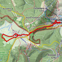
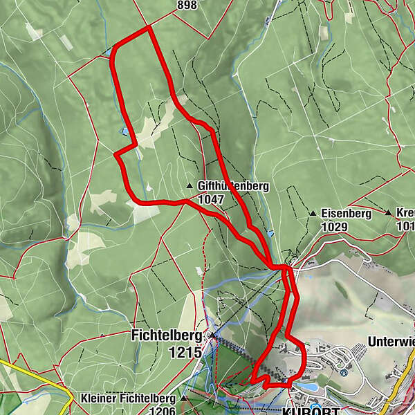
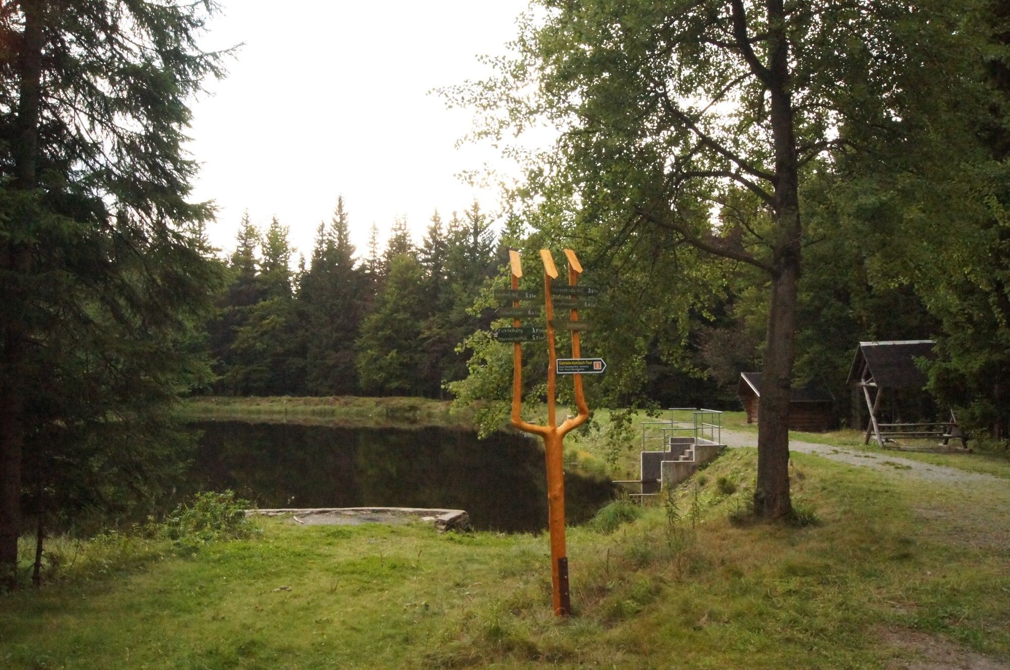
The circular trail leads to the ski jumps and over the bridge to the Black Pond ("Schwarzer Teich"). Via the Seltmannweg and the Schindelbachtal you return to the start of the trail.
- Teškoća
-
srednje
- Vrednovanje
-
- Wegverlauf
-
Kurort OberwiesenthalSehma-Quelle2,8 kmSportbaude Waldeck10,1 kmKurort Oberwiesenthal11,7 km
- Beste Jahreszeit
-
sijveljožutrasvilipsrpkolrujlisstupro
- Höchster Punkt
- 1.058 m
- Zielpunkt
-
Valley station Fichtelbergschwebebahn
- Höhenprofil
-
 © outdooractive.com
- Autor
-
Die Tour Gabiele-Kohlisch-Tour wird von outdooractive.com bereitgestellt.
GPS Downloads


Opće informacije
Einkehrmöglichkeit
Weitere Touren in den Regionen
-
Erzgebirge
873
-
Erzgebirge
407
-
Oberwiesenthal
109