Bielatal: Through the bizarre rock world with many viewpoints


© Tourismusverband Sächsische Schweiz - Maik Rähder

© Tourismusverband Sächsische Schweiz - Yvonne Brückner

© Tourismusverband Sächsische Schweiz - Yvonne Brückner

© Tourismusverband Sächsische Schweiz - Yvonne Brückner

© Tourismusverband Sächsische Schweiz - Yvonne Brückner

© Tourismusverband Sächsische Schweiz - Yvonne Brückner

© Tourismusverband Sächsische Schweiz - Yvonne Brückner

© Tourismusverband Sächsische Schweiz - Yvonne Brückner

© Tourismusverband Sächsische Schweiz - Yvonne Brückner

© Tourismusverband Sächsische Schweiz - Yvonne Brückner
- Kratak opis
-
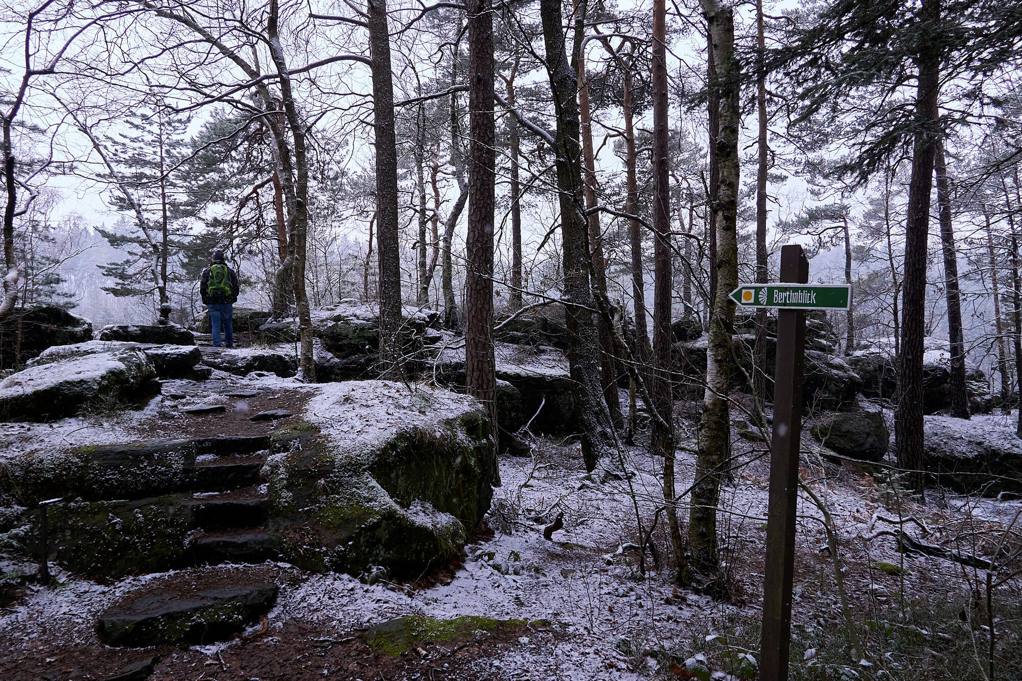
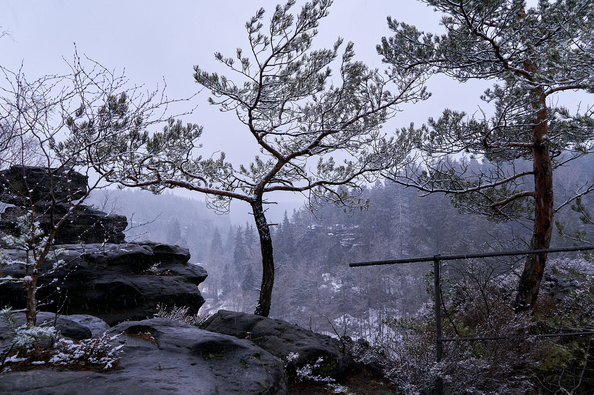
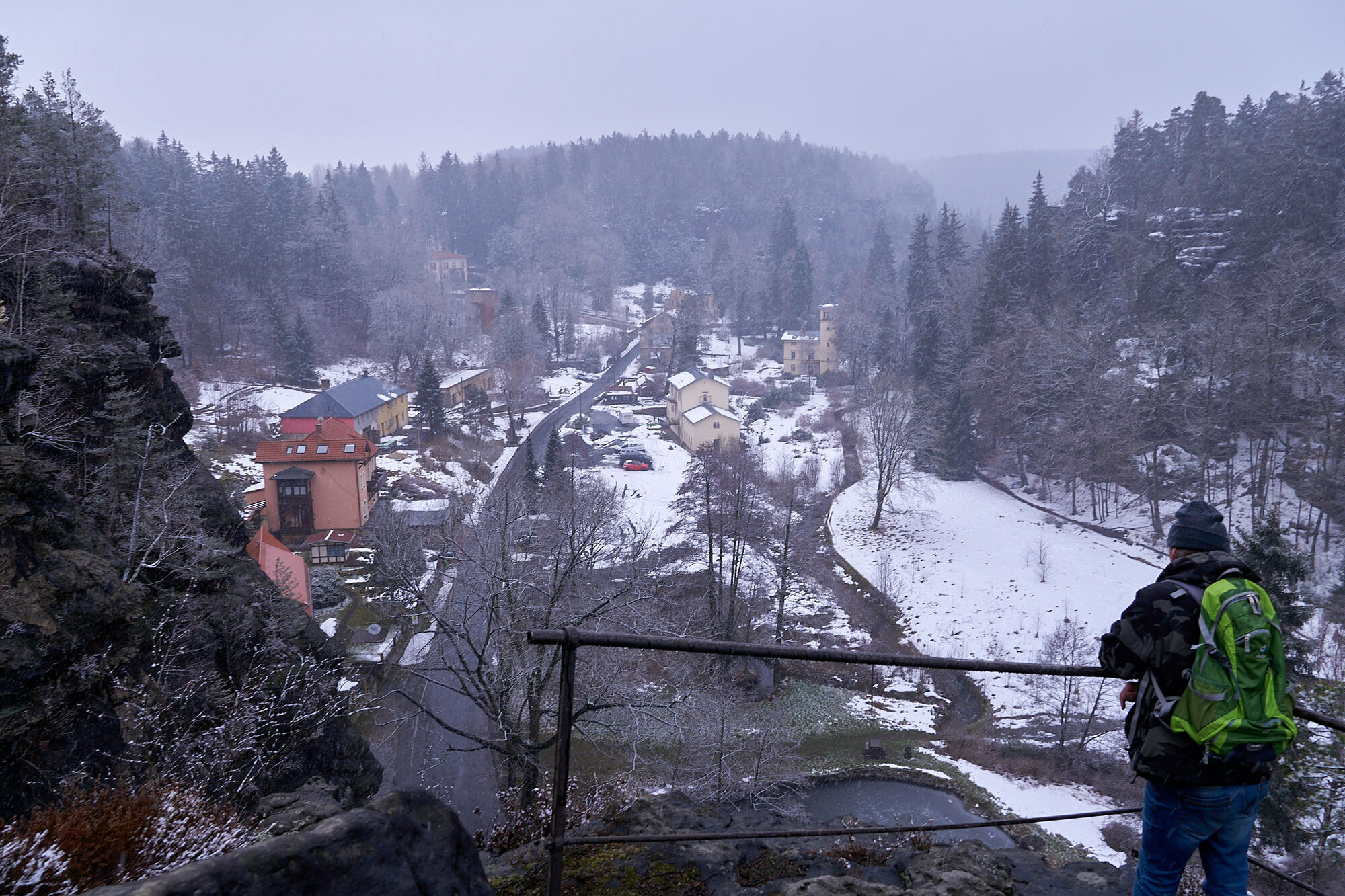
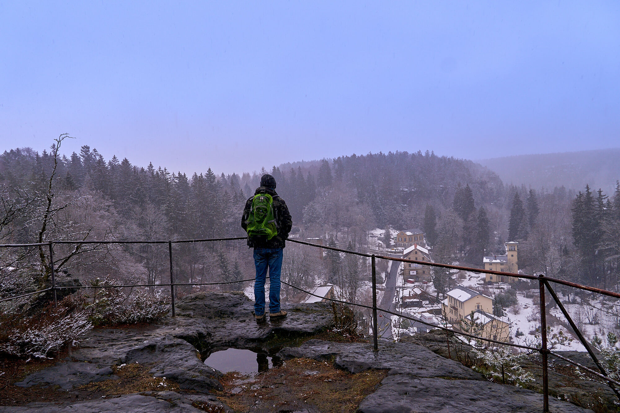
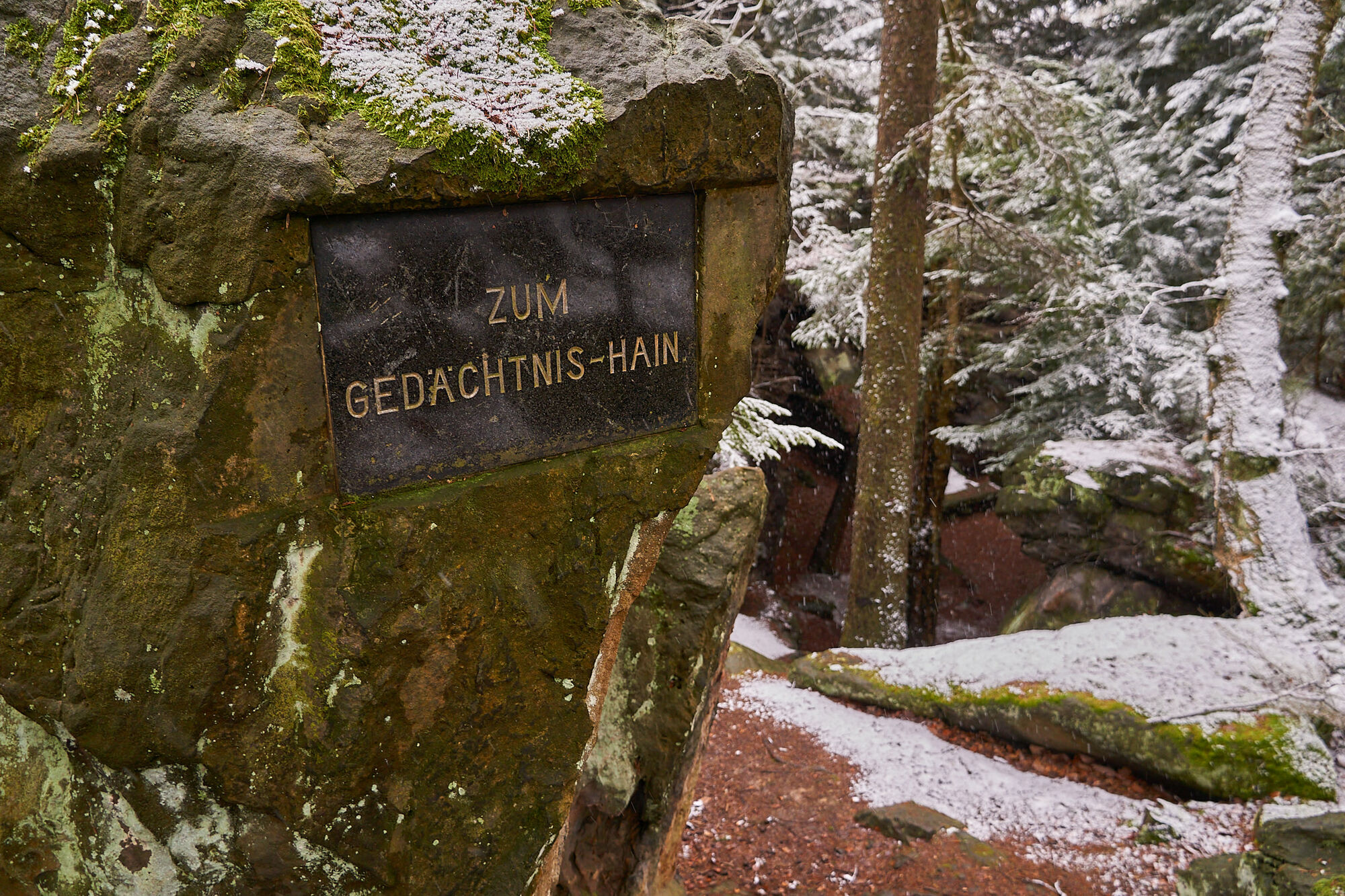
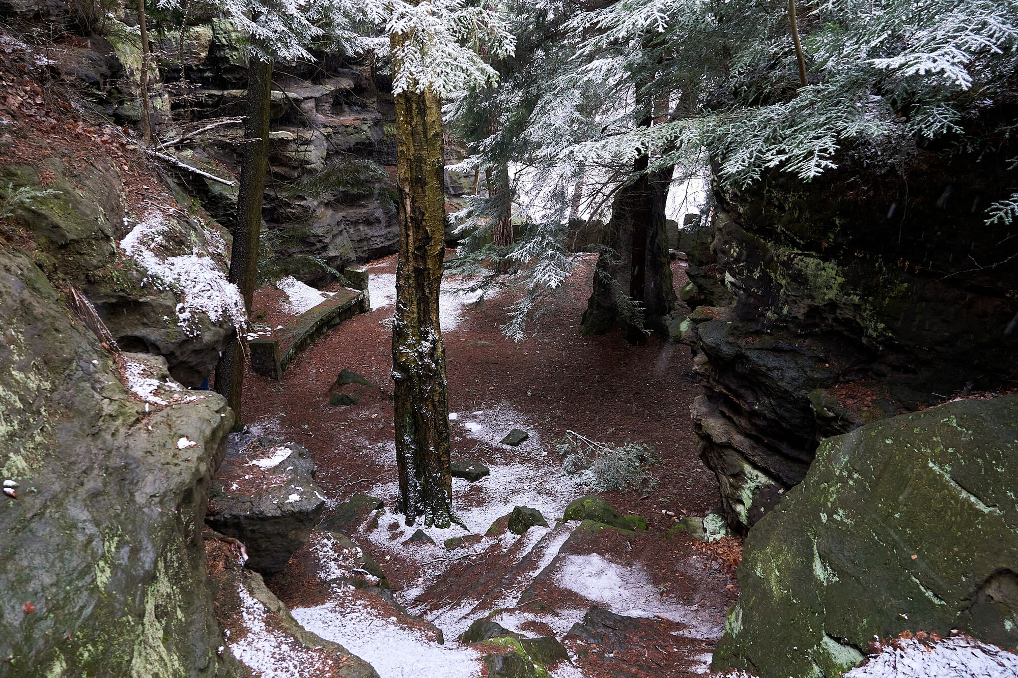
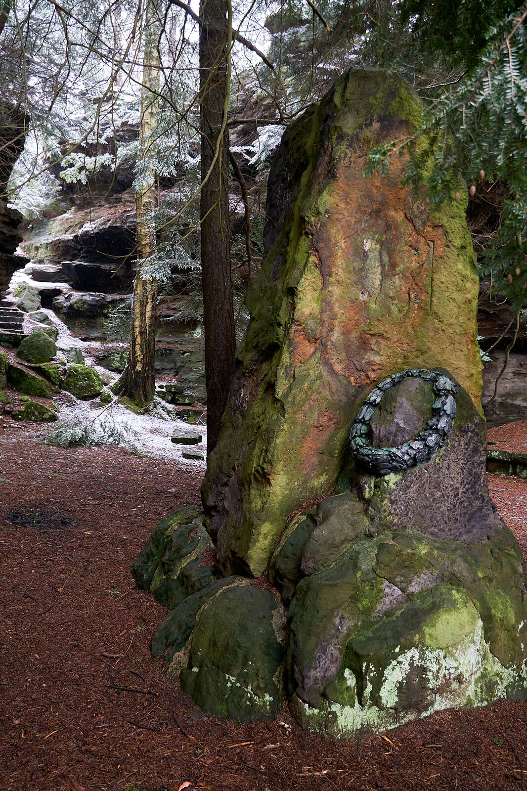
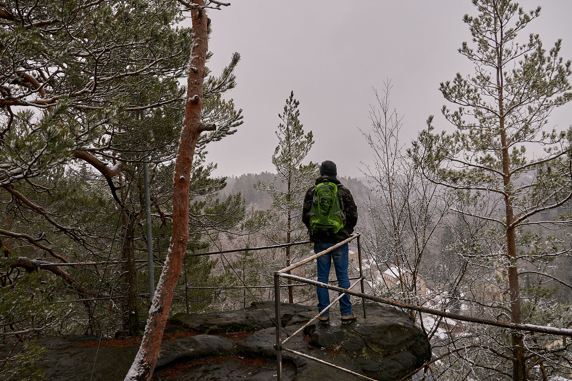
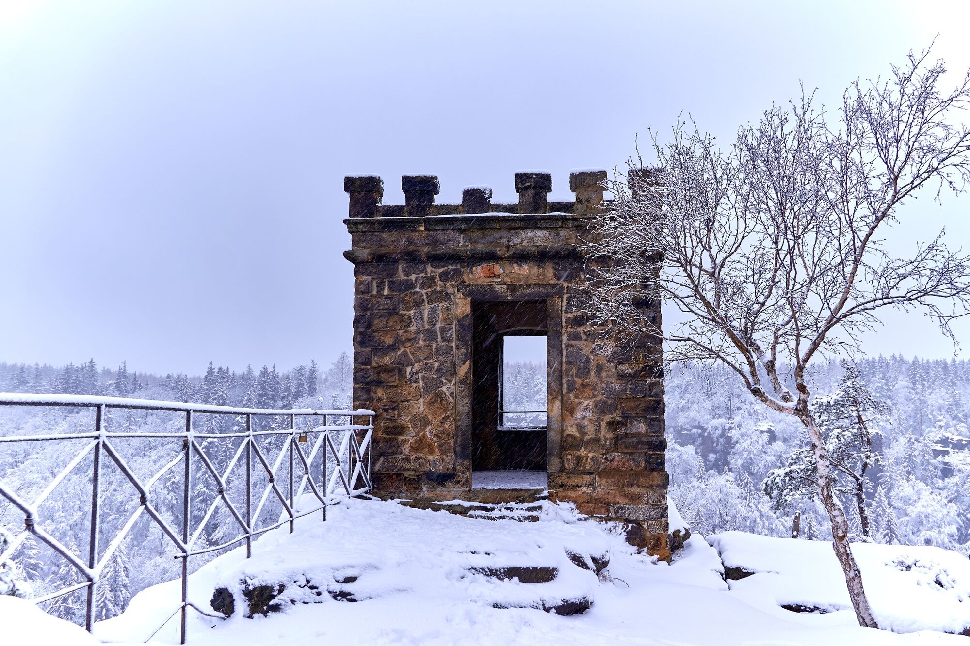
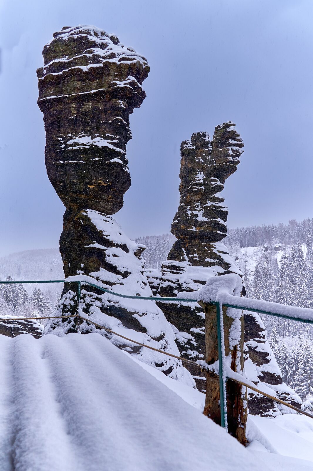
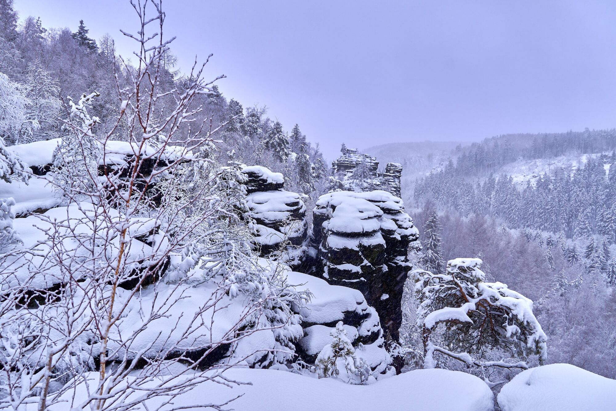
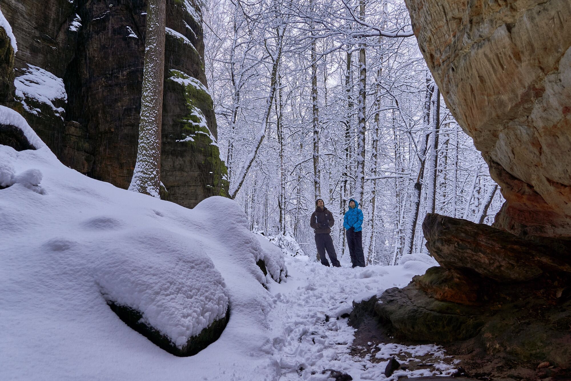
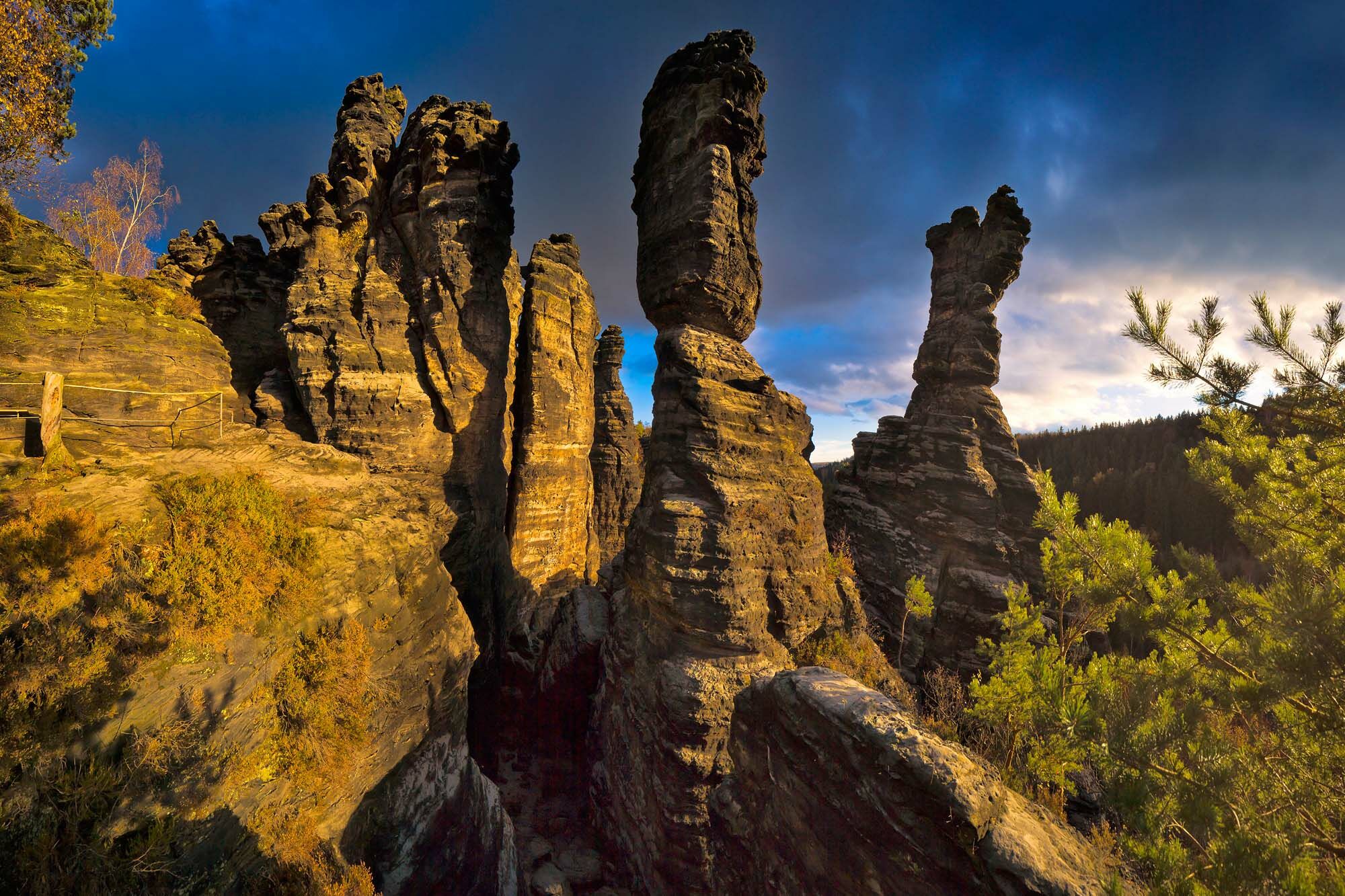
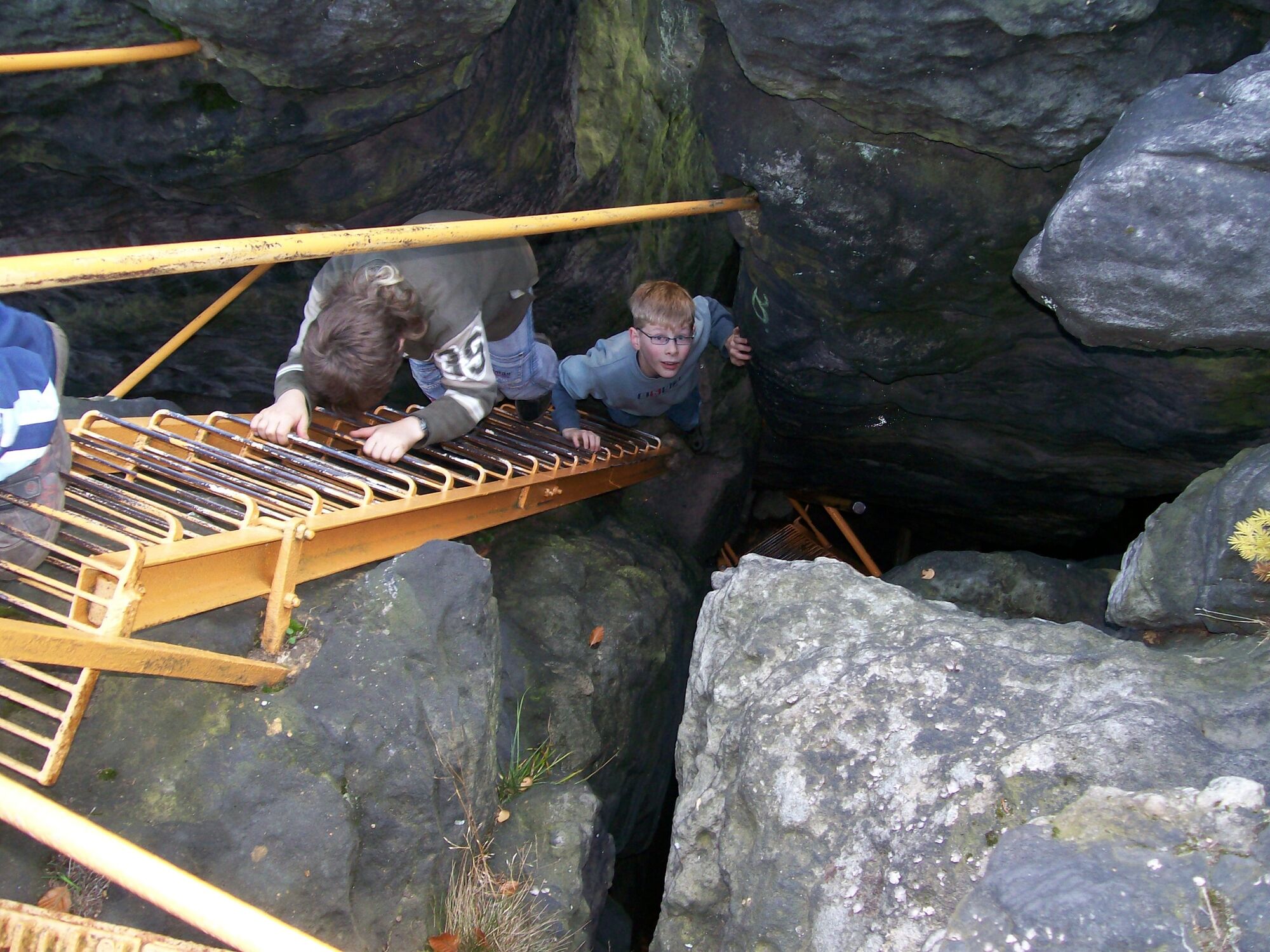
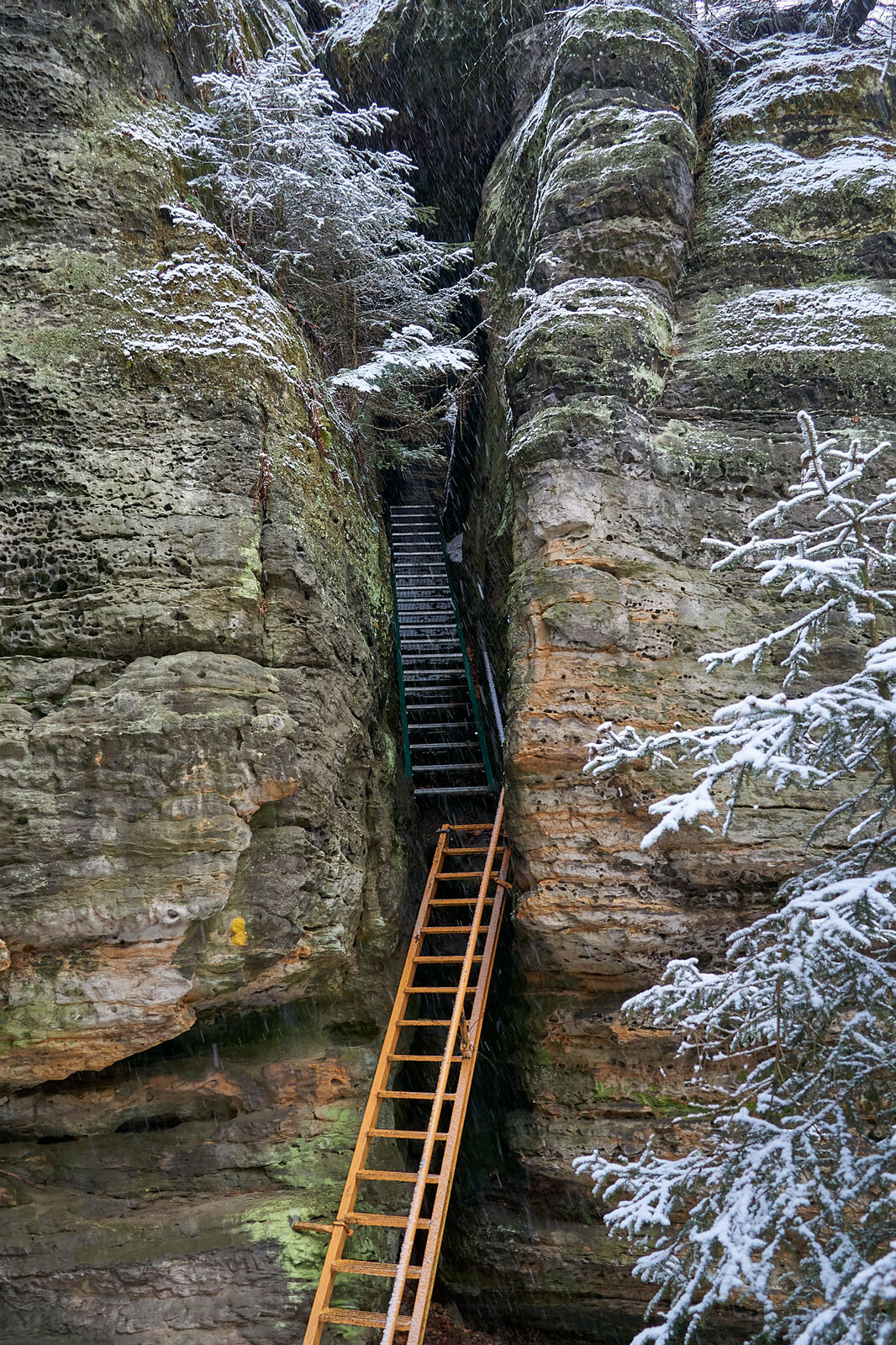
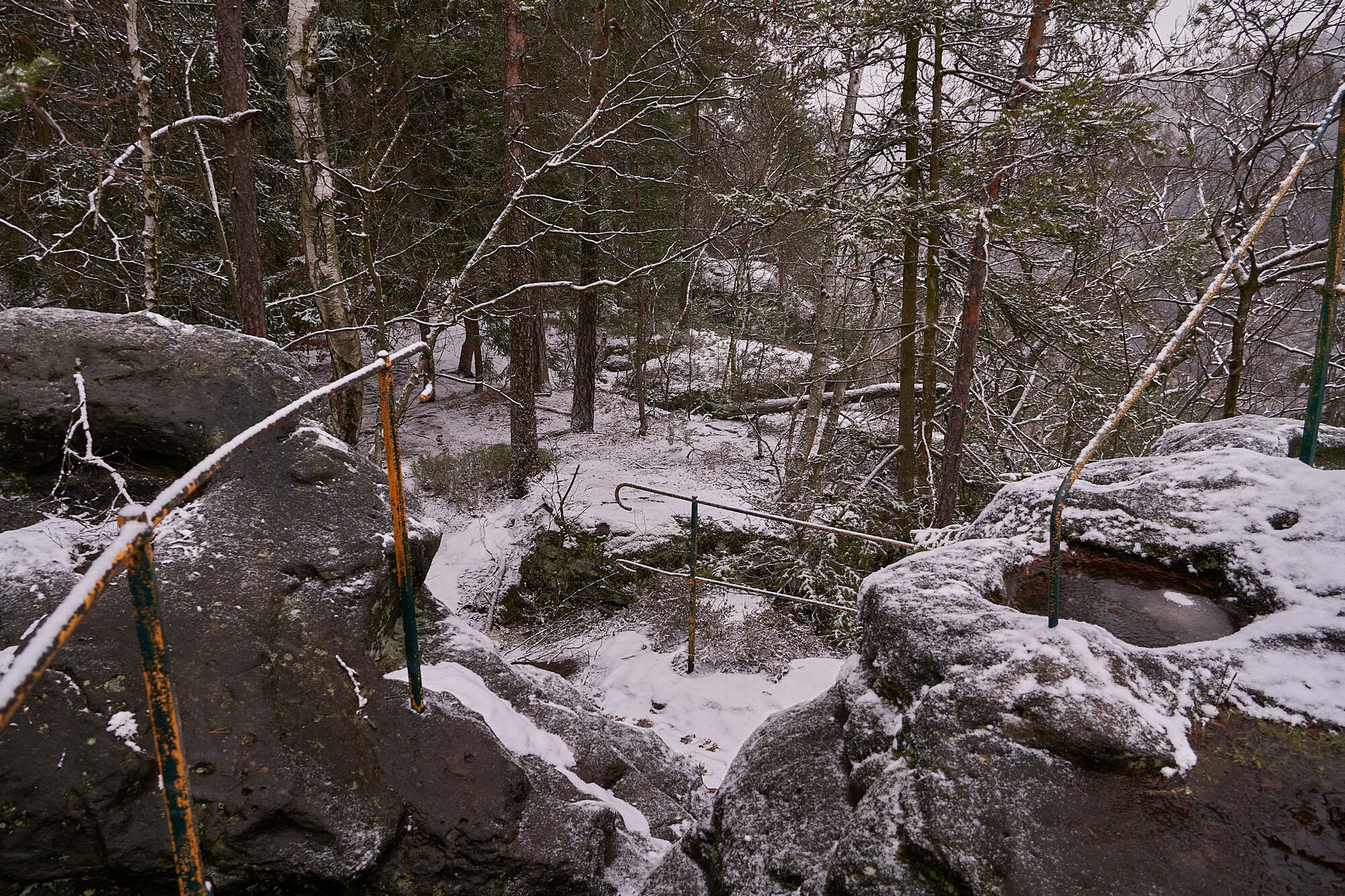
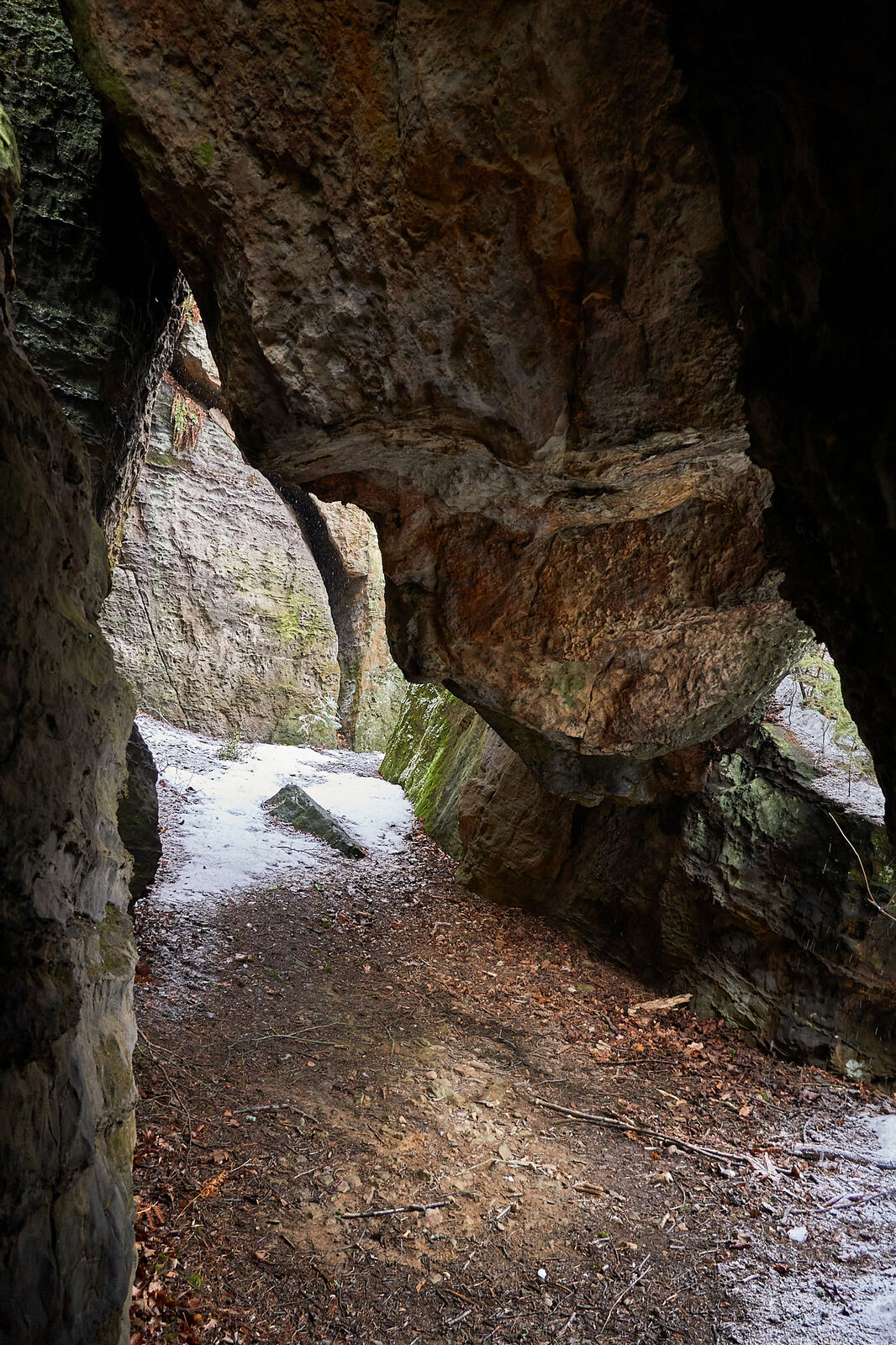
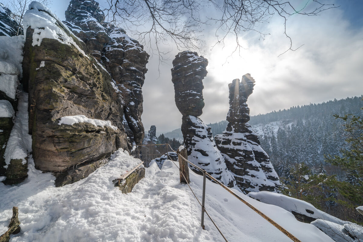
With its numerous bizarre rock towers, the Bielatal is one of the most popular climbing areas in the region. When the weather is nice, you can see numerous climbers here. But also hikers can conquer one or the other peak here with the help of iron ladders. The tour is very diversed with over a dozen view options.
- Teškoća
-
srednje
- Vrednovanje
-
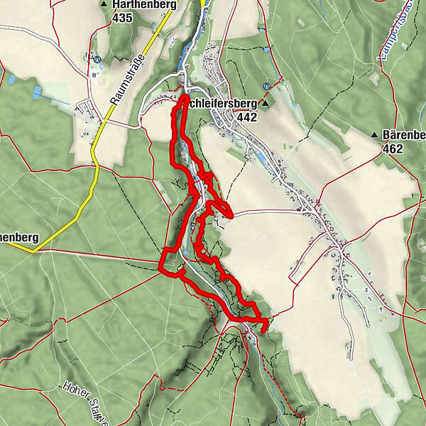
- Wegverlauf
-
Berthablick1,0 kmKleine Bastei1,1 kmNikolaus-Grotte1,3 kmWetterfahnenfels1,3 kmSchweizermühlenturm2,6 kmKapuziner2,7 kmZerklüftete Wand2,9 kmBielablick3,1 kmHerkuleskopf3,3 kmHerkuleswand3,3 kmSchluchtnadel3,3 kmHerkuleshöhle3,3 kmHerkulessohn3,4 kmKleine Herkulessäule3,4 kmGroße Herkulessäule3,4 kmHerkulesstein3,4 kmKleiner Herkulesstein3,4 kmVorderer Schroffer Stein3,4 kmHinterer Schroffer Stein3,4 kmSchraubenkopf3,4 kmWegelagerer3,5 kmSonny3,6 kmSonnenwendstein3,7 kmNasser Stein3,8 kmKanzelsteinaussicht3,8 kmKanzelturm3,8 kmPuppe3,8 kmGlück Auf Turm3,8 kmRaupe3,8 kmRingelturm4,1 kmKuchenturm4,1 kmRosenthaler Turm4,6 kmGroßvaterstuhl4,8 kmGasthof Ottomühle5,3 kmJohanniskopf6,2 kmMorsche Wand6,2 kmFritziturm6,3 kmJohanniskegel6,3 kmPötzschturm6,3 kmFriederike6,3 kmJohannisturm6,3 kmSchusterturm6,3 kmJohanniswacht6,3 kmArtariastein6,3 kmMauerblümchen6,3 kmJohannismauer6,3 kmSachsenspitze6,8 kmSachsenstein (414 m)6,8 kmDoggenturm7,4 kmBackfisch7,4 kmSophien-Quelle7,6 kmNachbar7,9 kmWaldkapelle8,2 kmSchloßwächter8,9 kmBrausenstein9,0 kmGnom9,2 km
- Beste Jahreszeit
-
sijveljožutrasvilipsrpkolrujlisstupro
- Höchster Punkt
- 429 m
- Zielpunkt
-
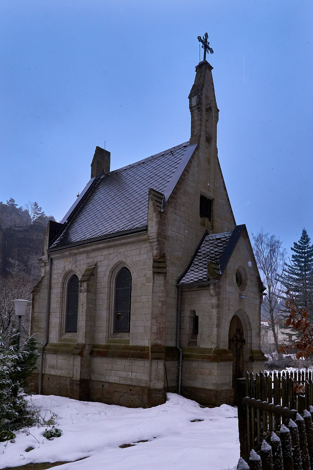
Parkplatz Hochofen bzw. Haltestelle Bielatal, Brausenstein
- Höhenprofil
-
 © outdooractive.com

-

-
AutorDie Tour Bielatal: Through the bizarre rock world with many viewpoints wird von outdooractive.com bereitgestellt.
GPS Downloads


Opće informacije
Einkehrmöglichkeit
Aussichtsreich
Weitere Touren in den Regionen
-
Sächsische Schweiz
1405
-
Erzgebirge
629
-
Rosenthal-Bielatal
384