From Rosenthal through the Bielatal area to the Schweizer Mühle


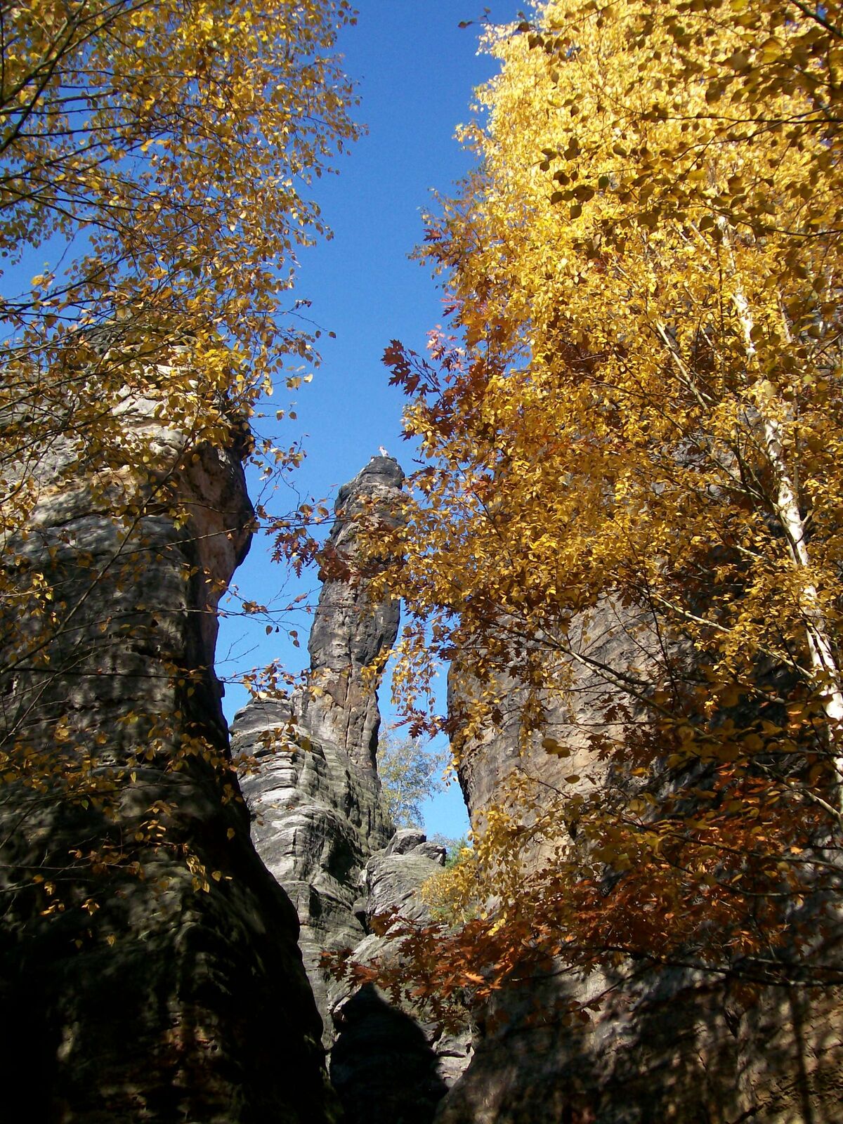
© Tourismusverband Sächsische Schweiz - Manuela Morawitz

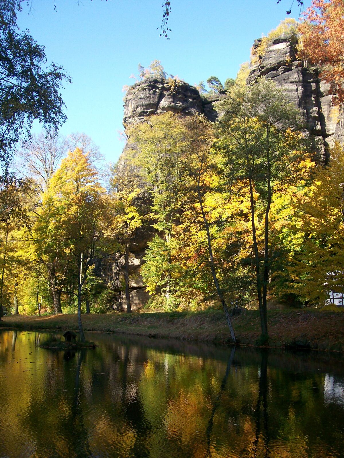
© Yvonne Brückner - Yvonne Brückner

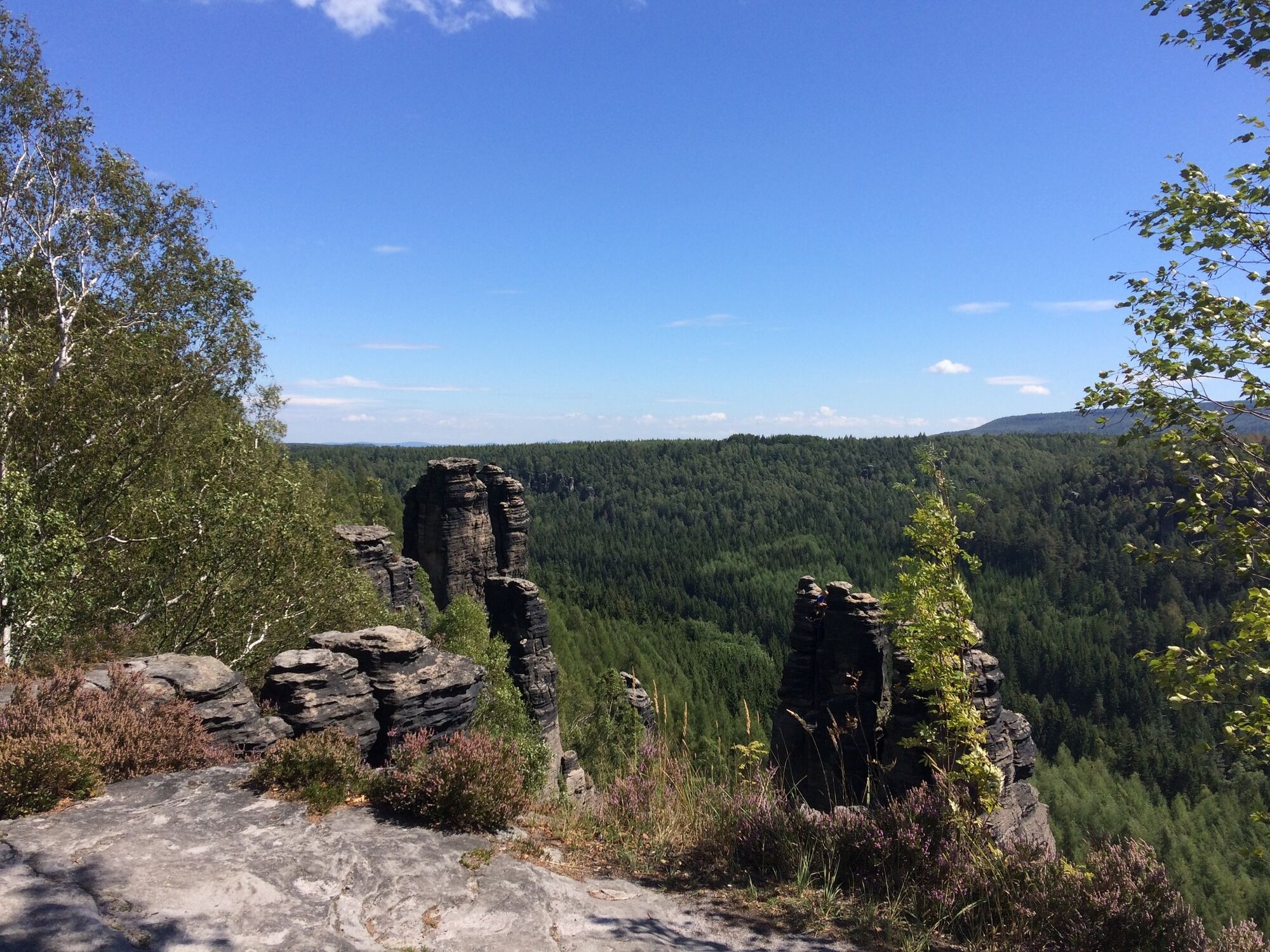
© Yvonne Brückner
- Kratak opis
-
Medium-difficulty tour through the climbing paradise Rosenthal-Bielatal
- Teškoća
-
srednje
- Vrednovanje
-
- Wegverlauf
-
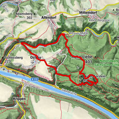
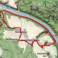
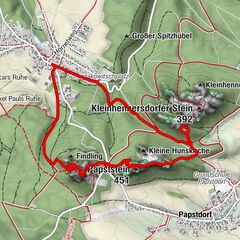
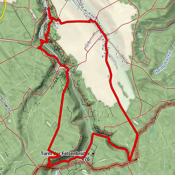
Rosenthal0,0 kmFraktur4,5 kmElisabethspitze4,7 kmRingelspitze4,7 kmDürrebielewand4,7 kmFalkenspitze4,7 kmDürrebielenadel5,0 kmGrenzwegwächter7,4 kmWaldturm10,1 kmBielatal-Hütte10,5 kmGasthof Ottomühle11,0 kmMorsche Wand11,8 kmJohannismauer11,9 kmJohanniskopf11,9 kmFriederike11,9 kmFritziturm11,9 kmMauerblümchen11,9 kmPötzschturm11,9 kmArtariastein11,9 kmJohanniskegel11,9 kmJohanniswacht11,9 kmSchusterturm12,0 kmJohannisturm12,0 kmHerkuleskopf12,5 kmBielablick12,5 kmZerklüftete Wand12,8 kmKapuziner12,9 kmSchweizermühlenturm13,0 kmRosenthal15,1 km
- Beste Jahreszeit
-
sijveljožutrasvilipsrpkolrujlisstupro
- Höchster Punkt
- 529 m
- Zielpunkt
-
Schweizermühle
- Höhenprofil
-
 © outdooractive.com
-

-
AutorDie Tour From Rosenthal through the Bielatal area to the Schweizer Mühle wird von outdooractive.com bereitgestellt.
GPS Downloads


Opće informacije
Einkehrmöglichkeit
Kulturell/Historisch
Aussichtsreich
Weitere Touren in den Regionen
-
Sächsische Schweiz
1407
-
Erzgebirge
631
-
Rosenthal-Bielatal
386