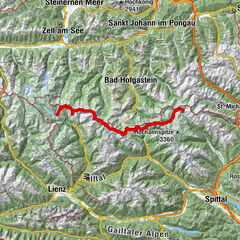
6-days-hiking tour: Along the east side of the Grossarl Valley


- Kratak opis
-
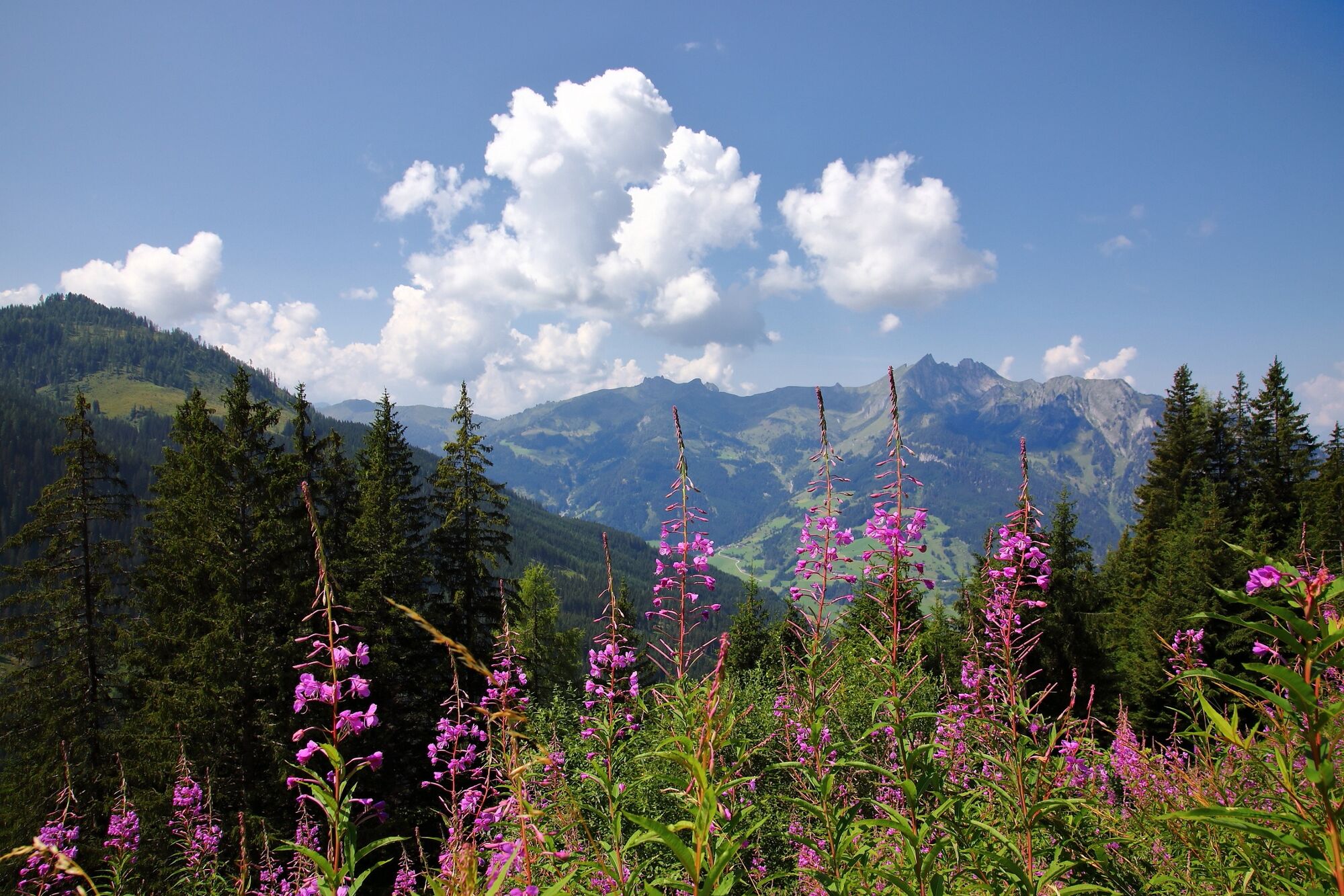
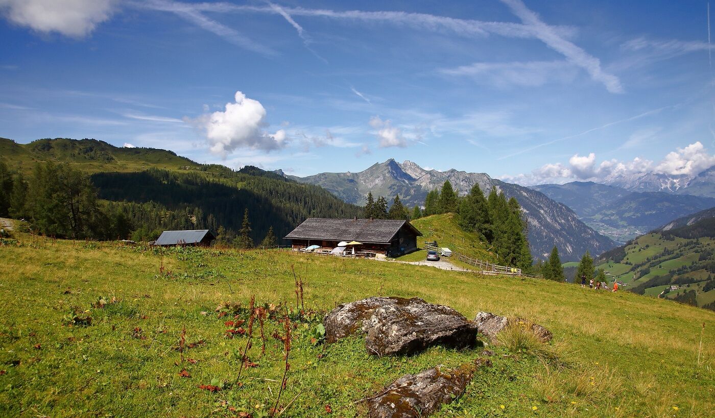
6-days-hiking tour along the east side of the Grossarltal with 5 overnight stays on mountain huts.
- Teškoća
-
srednje
- Vrednovanje
-
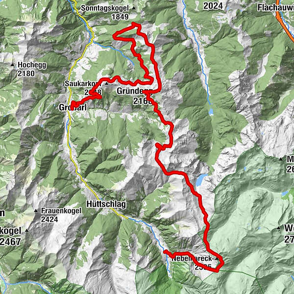
- Wegverlauf
-
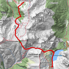
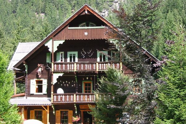
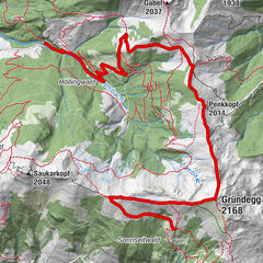
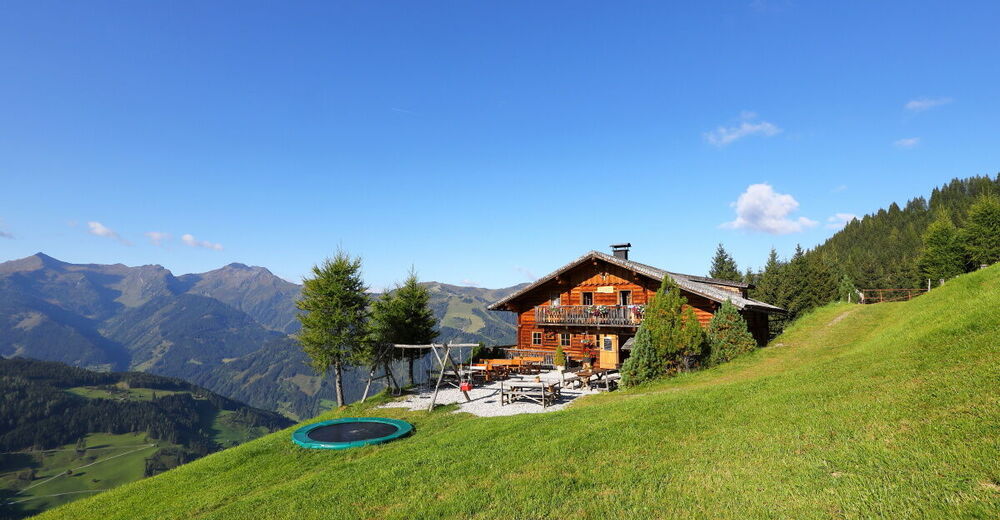
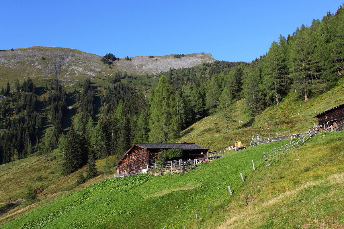
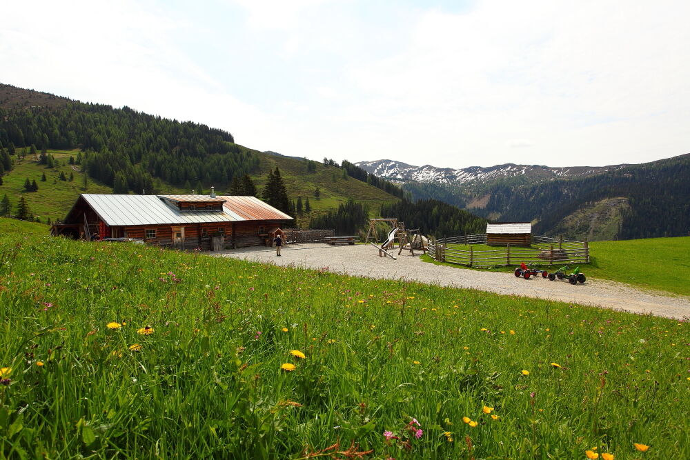
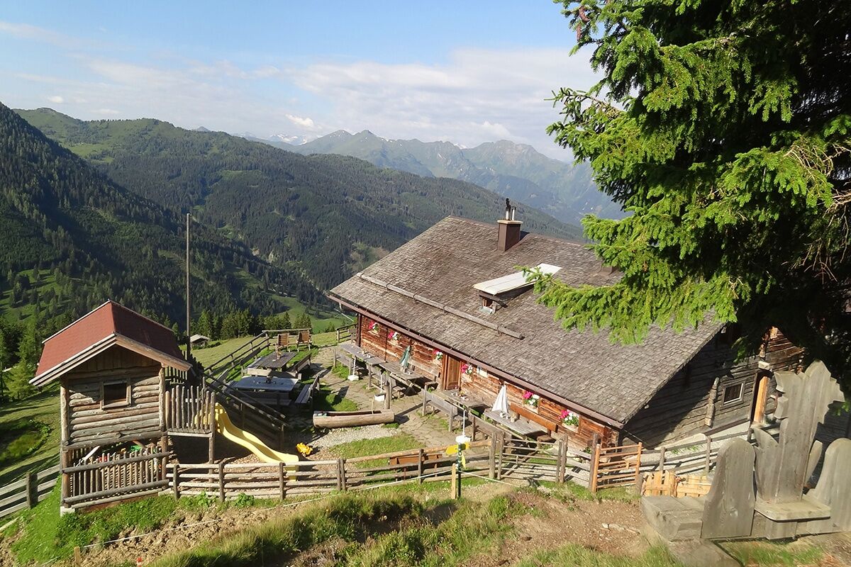
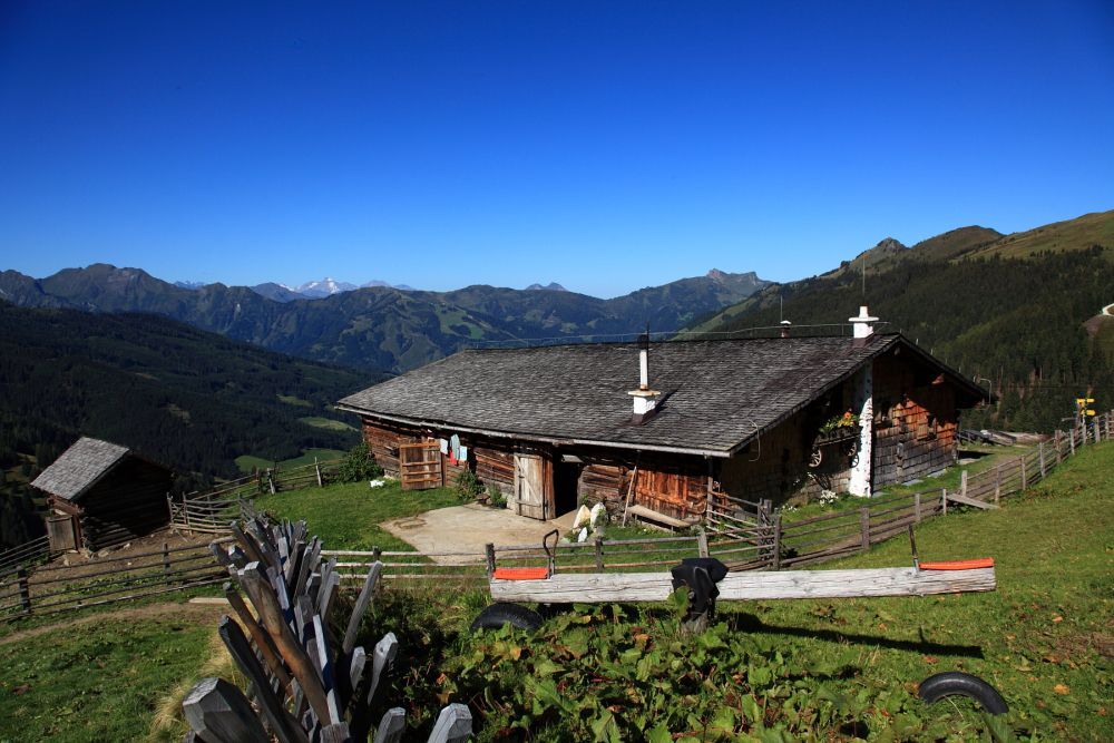
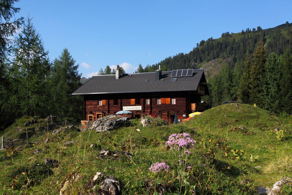
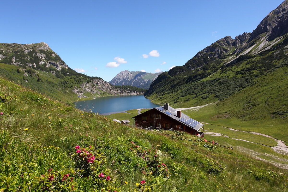
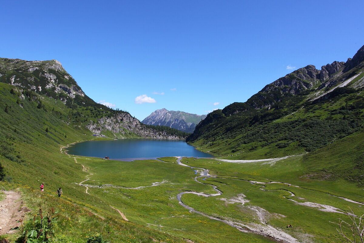
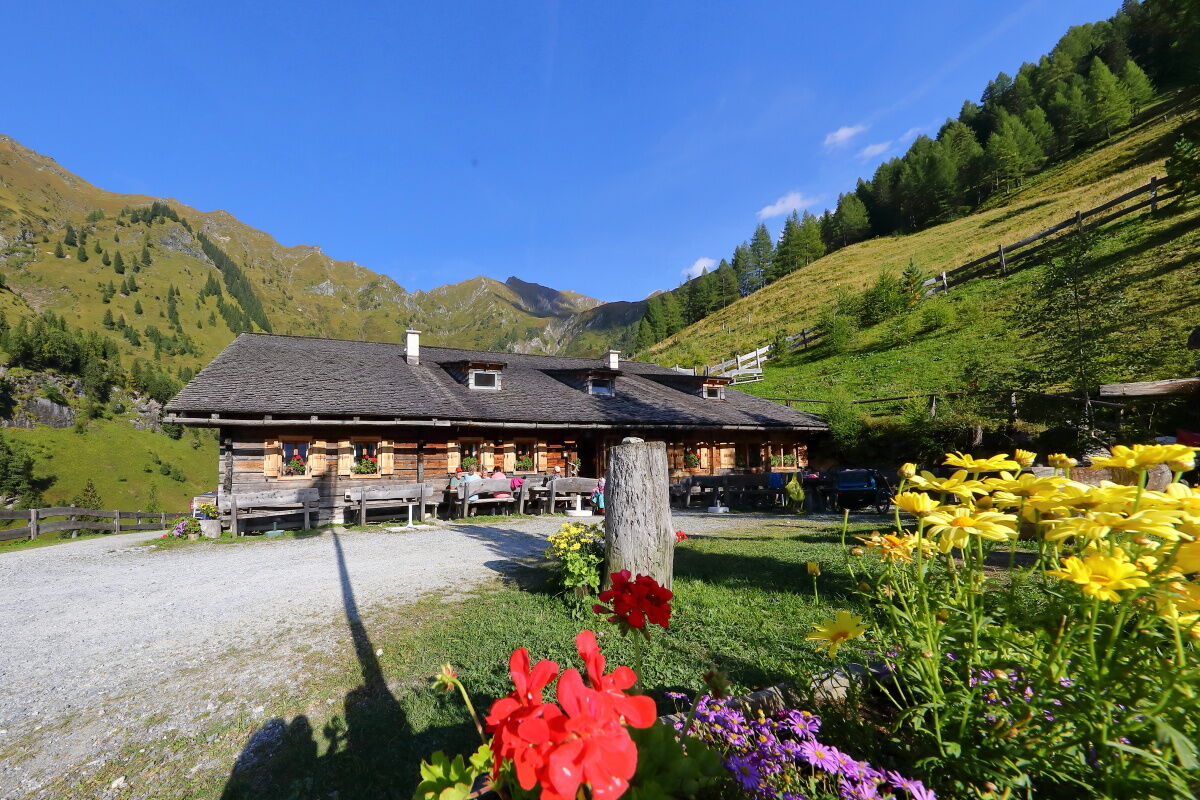
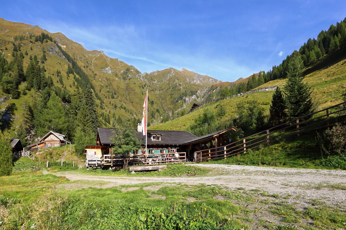
GroßarlHertas Rast1,2 kmGerstreitalm3,9 kmSaukaralm6,2 kmGroßwildalm11,9 kmKarsegg-Heimalm15,0 kmUnterwandalm15,8 kmMuggenfeldalm (Rothofalm)17,9 kmMaurachalm18,8 kmGabel (2.037 m)20,8 kmPenkkopf (2.011 m)23,8 kmGründegg (2.168 m)25,7 kmEllmaualm27,6 kmWeißalm28,8 kmLoosbühelalm (Klausalm)30,3 kmTappenkarseehütte39,8 kmWasserfallscharte (2.183 m)44,6 kmNebelkarscharte (2.453 m)45,6 kmKreealm Bichlhütte49,7 kmKreealm49,8 kmKreealm-Wasserfall51,5 kmTalwirt52,0 km
- Beste Jahreszeit
-
sijveljožutrasvilipsrpkolrujlisstupro
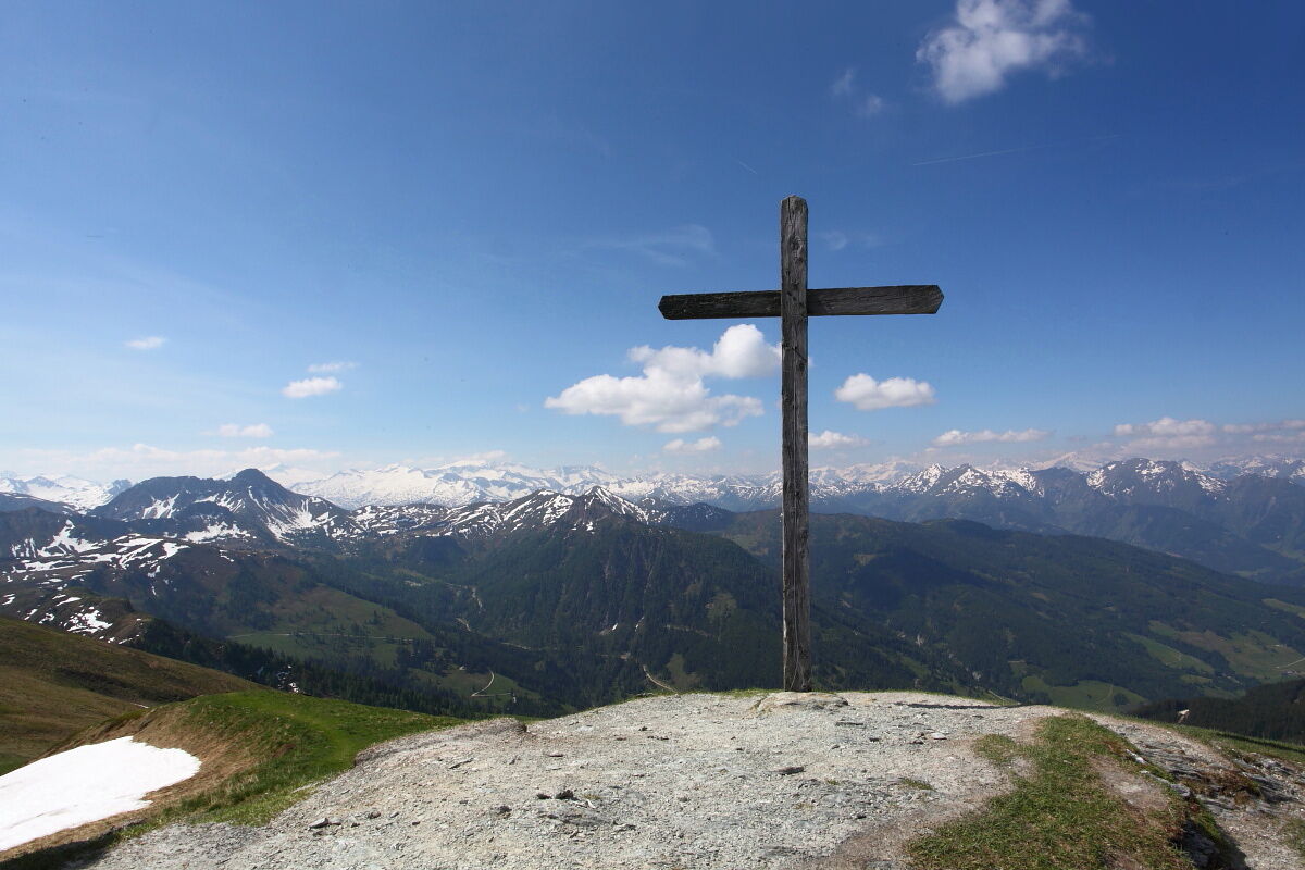
- Höchster Punkt
- 2.428 m
- Zielpunkt
-
Hüttschlag valley head
- Höhenprofil
-


- Autor
-
Die Tour 6-days-hiking tour: Along the east side of the Grossarl Valley wird von outdooractive.com bereitgestellt.
GPS Downloads


Opće informacije
Einkehrmöglichkeit
Geheimtipp
Aussichtsreich
Weitere Touren in den Regionen