© © SalzburgerLand Tourismu - Denis Cebulec

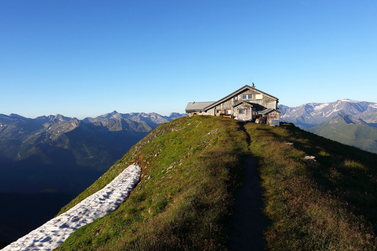
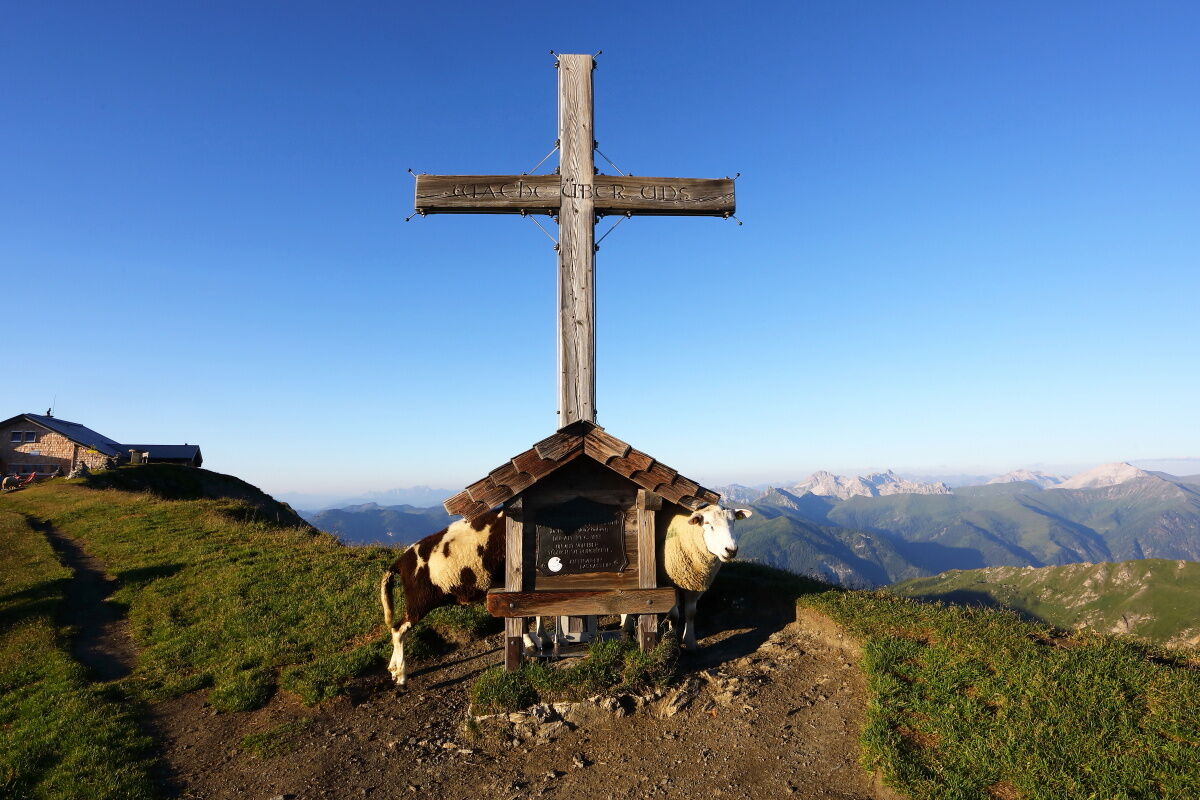
© Salzburger Almenweg - Tourismusverband Großarltal

© Salzburger Almenweg - Tourismusverband Großarltal

© Salzburger Almenweg - Tourismusverband Großarltal

© Salzburger Almenweg - Tourismusverband Großarltal
Podaci o ruti
16,99km
983
- 2.078m
1.063hm
1.165hm
06:45h

Salzburger Almenweg
- Kratak opis
-
Over the highest grass mountain in Europe into the "Valley of the Alpine Pastures"
- Teškoća
-
srednje
- Vrednovanje
-
- Wegverlauf
-
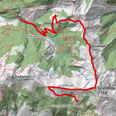
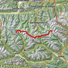
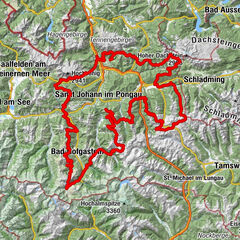
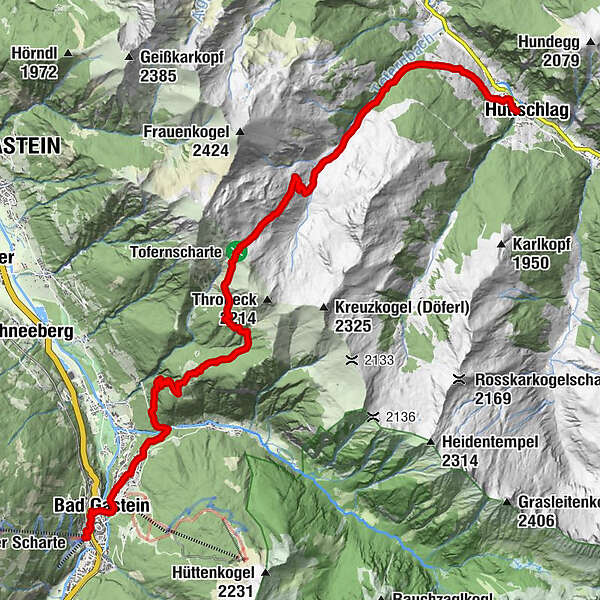
Pyrkershöhe0,3 kmBad Gastein0,9 kmWasserfall0,9 kmGasteiner Wasserfall1,0 kmPreimskirche1,2 kmBadberg1,9 kmBlick nach Bad Hofgastein2,2 kmPoserhöhe5,5 kmOberharbachalm11,6 kmSchappachkapelle16,8 kmHüttschlag16,9 km
- Beste Jahreszeit
-
sijveljožutrasvilipsrpkolrujlisstupro
- Höchster Punkt
- 2.078 m
- Zielpunkt
-
Hüttschlag Town Centre (1,030 m)
- Höhenprofil
-


- Autor
-
Salzburger AlmenwegDie Tour Salzburger Almenweg - Stage 10: Bad Gastein - Hüttschlag wird von outdooractive.com bereitgestellt.
GPS Downloads


Opće informacije
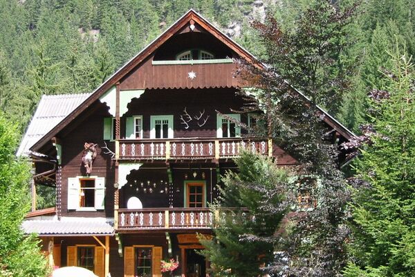
Einkehrmöglichkeit
Geheimtipp
Flora
Fauna
Aussichtsreich
Weitere Touren in den Regionen