
- Kratak opis
-
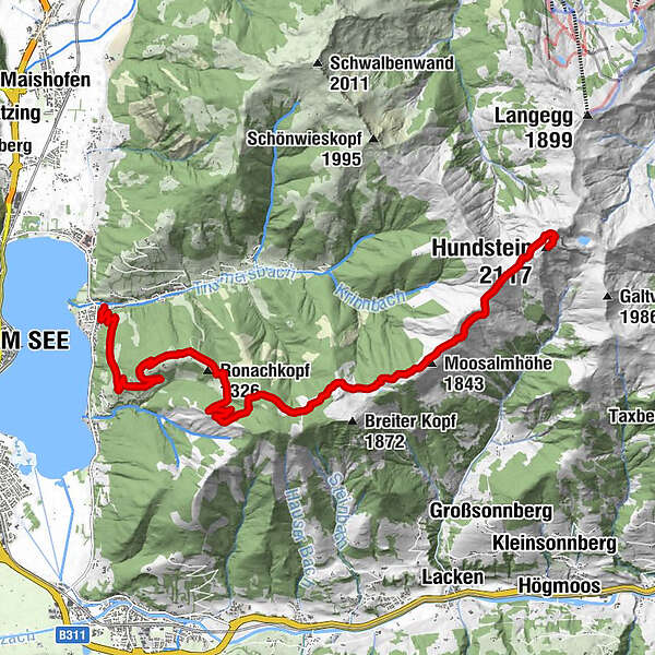
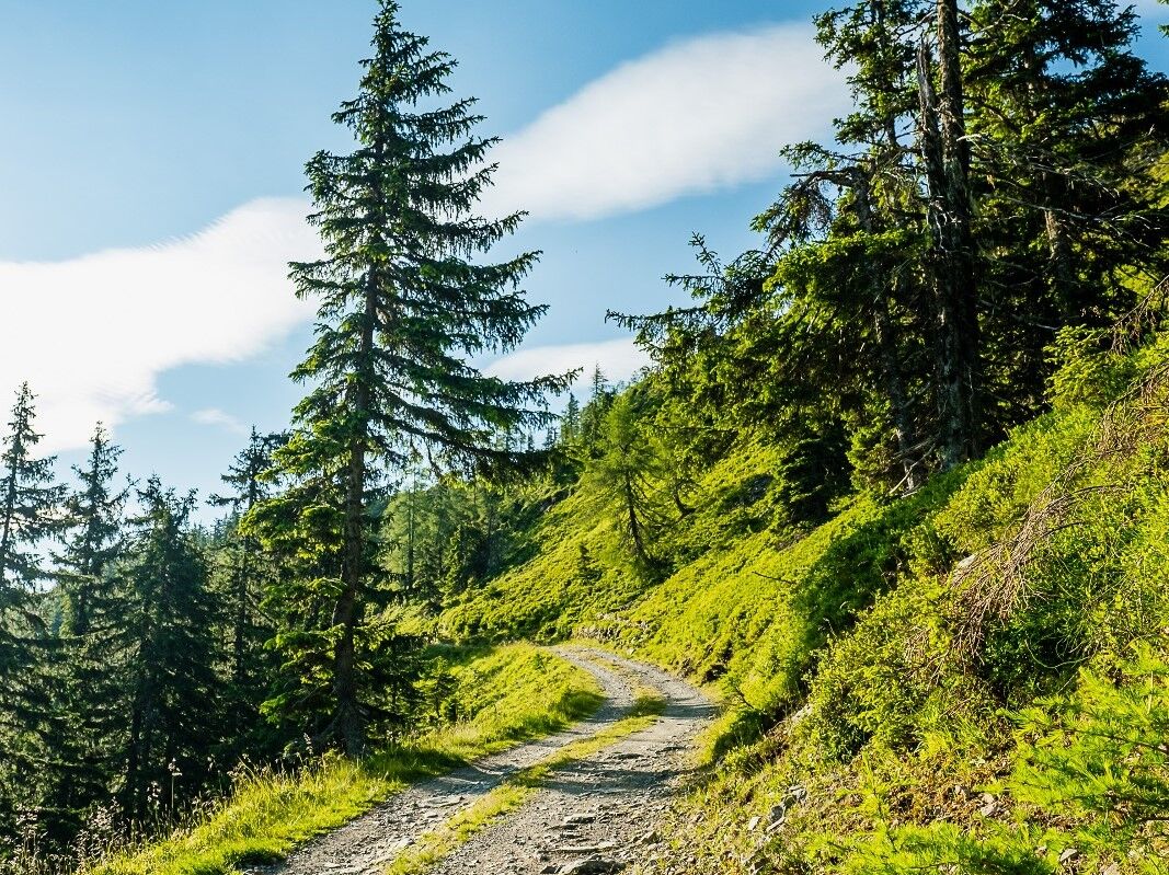
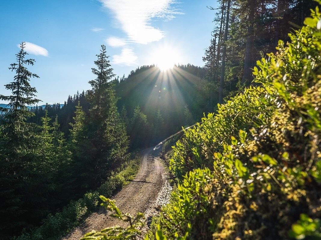
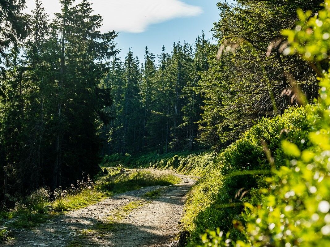
Challenging tour uphill to the Hundstein - Statzerhaus 2.117 m height.
- Teškoća
-
teška
- Vrednovanje
-
- Wegverlauf
-
Thumersbach0,1 kmEnzianhütte4,5 kmMoosalmhöhe (1.843 m)10,9 kmHundstein (2.117 m)14,3 kmStatzerhaus14,3 km
- Beste Jahreszeit
-
sijveljožutrasvilipsrpkolrujlisstupro
- Höchster Punkt
- 2.099 m
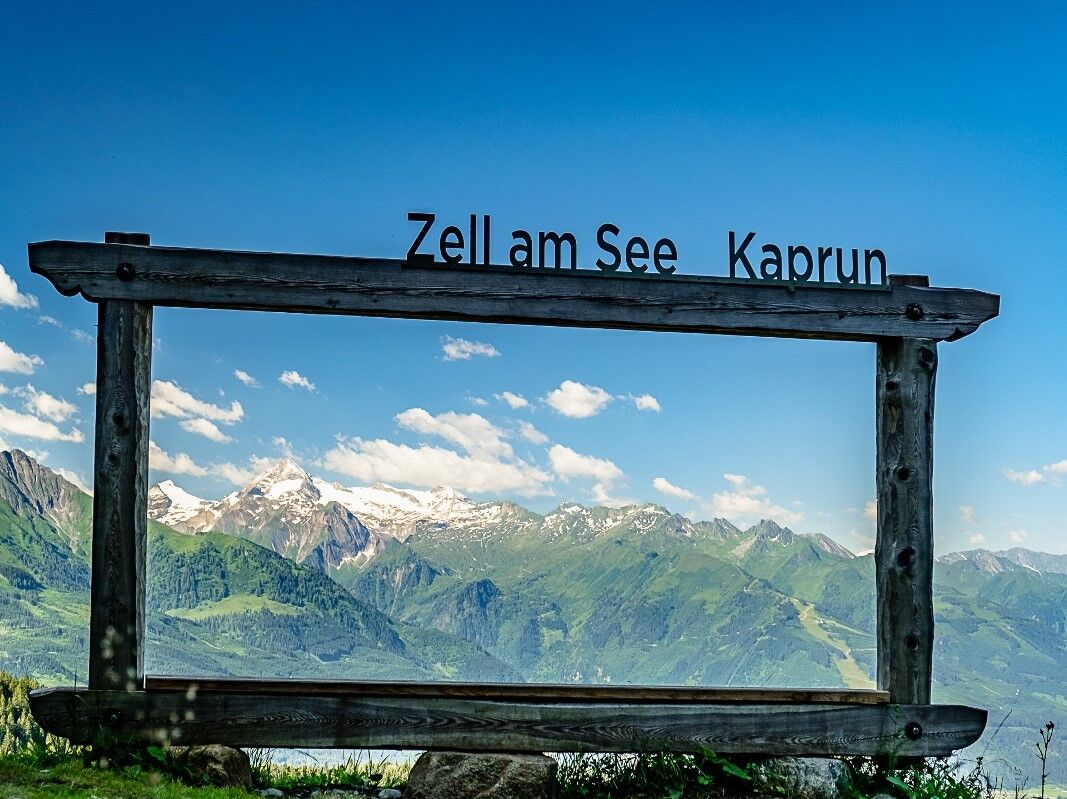
- Zielpunkt
-
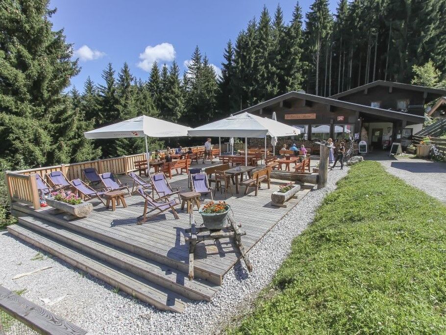
Hunstein - Statzerhaus
- Höhenprofil
-


-

-
AutorDie Tour MTB-Trail ZE8 Thumersbach-Hundstein wird von outdooractive.com bereitgestellt.
GPS Downloads


Opće informacije
Einkehrmöglichkeit
Flora
Fauna
Aussichtsreich
Weitere Touren in den Regionen