Podaci o ruti
18,89km
894 - 1.729m
Distanz
759hm
764hm
Aufstieg
02:45h
 
Dauer
Kratak opis

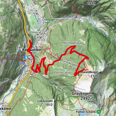
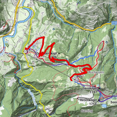
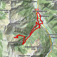
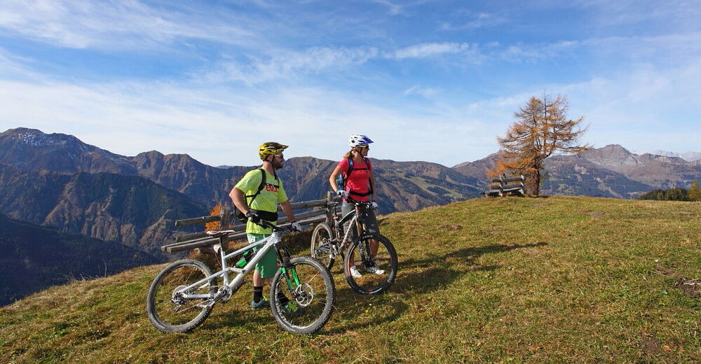
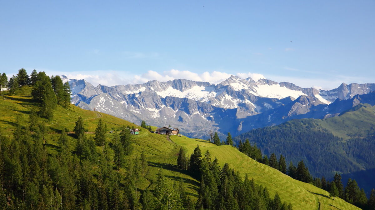
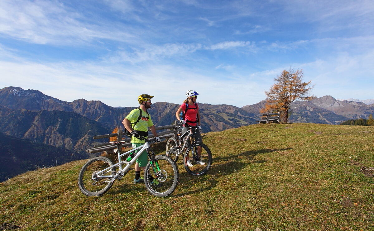
Mountian bike tour in Grossarl through the forest, where you have a picturesque view to the Bichlalm.

Teškoća
srednje
Vrednovanje
Tehnika
Kondicija
Krajolik
Doživljaj
Wegverlauf
Großarl
0,0 km
Bichlalm
9,4 km
Großarl
18,8 km

Beste Jahreszeit
sij
velj
ožu
tra
svi
lip
srp
kol
ruj
lis
stu
pro
Höchster Punkt
1.729 m
Zielpunkt

Bichlalm

Höhenprofil

Autor
Die Tour Grossarl: Bichlalm wird von outdooractive.com bereitgestellt.

Gesamtbewertung

5

0

%

4

0

%

3

0

%

2

0

%

1

0

%

Error
Ein Fehler ist aufgetreten. Bitte versuche es erneut.
Vielen Dank für deine Bewertung

Bewertung wurde gelöscht

GPS Downloads
  • GPX GPS Exchange Format (XML)
  • KML Google Earth, Google Maps
QR Download Codes für Mobiltelefone

Opće informacije

Einkehrmöglichkeit
Geheimtipp
Aussichtsreich

Beliebte Touren in der Umgebung

Mountainbikestrecke Graukogel Bergstation

teška Mountainbike
18,65km | 863hm | 03:25h

Aussichtsreiche Mountainbiketour Kreistenalm - Obergassalm

srednje Mountainbike
15,4km | 690hm | 02:43h

Bad Hofgastein Bergbahn Parkplatz - Gadaunerer Hochalm

srednje Mountainbike
27,24km | 990hm | 02:30h

Zederhaus: Bartlalm

srednje Mountainbike
9,61km | 504hm | 00:32h