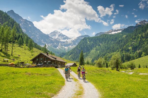
© Pongau-Almenweg
Podaci o ruti
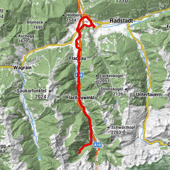
13,57km
1.019
- 1.770m
835hm
130hm
02:00h
- Vrednovanje
-
- Wegverlauf
-
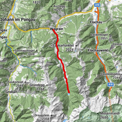
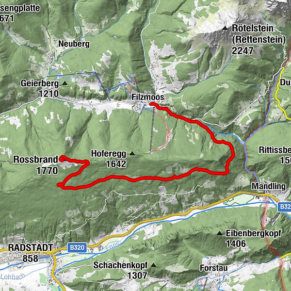
FilzmoosSteinalm5,8 kmRossbrand (1.770 m)13,2 kmRadstädterhütte13,5 km
- Höchster Punkt
- 1.770 m
- Höhenprofil
-

- Autor
-
Pongau-AlmenwegDie Tour Roßbrand Route wird von outdooractive.com bereitgestellt.
GPS Downloads


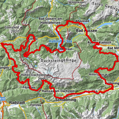
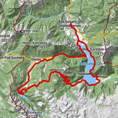
Weitere Touren in den Regionen
-
Schladming - Dachstein
203
-
Ramsau am Dachstein
168
-
Filzmoos
117