© Tourismusverband Flachau - Flachau Tourismus
© Tourismusverband Flachau - Flachau Tourismus

© Tourismusverband Flachau - Flachau Tourismus
© Tourismusverband Flachau - Flachau Tourismus

© Tourismusverband Flachau - Flachau Tourismus
© Tourismusverband Flachau - Flachau Tourismus
© Tourismusverband Flachau - Flachau Tourismus
© Tourismusverband Flachau - Flachau Tourismus


- Kratak opis
-
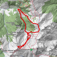
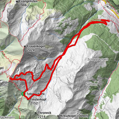
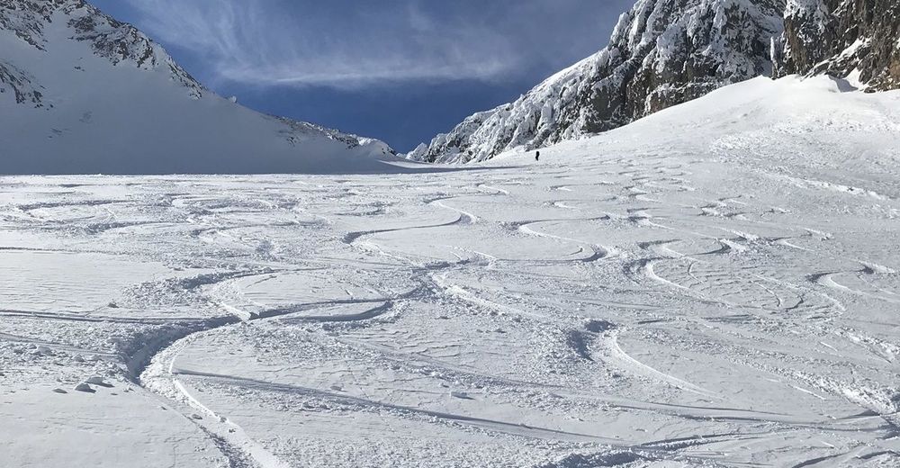
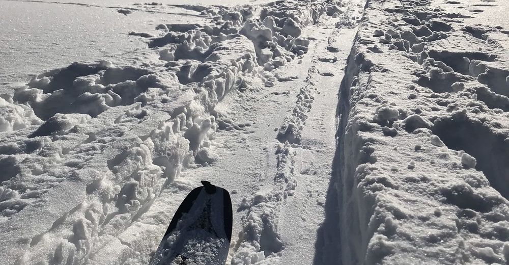
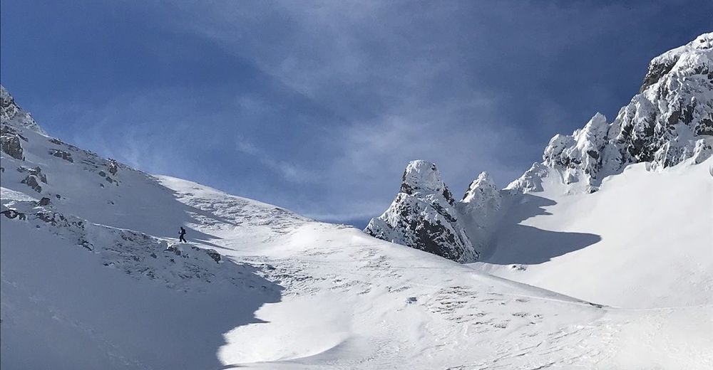
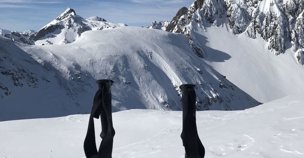
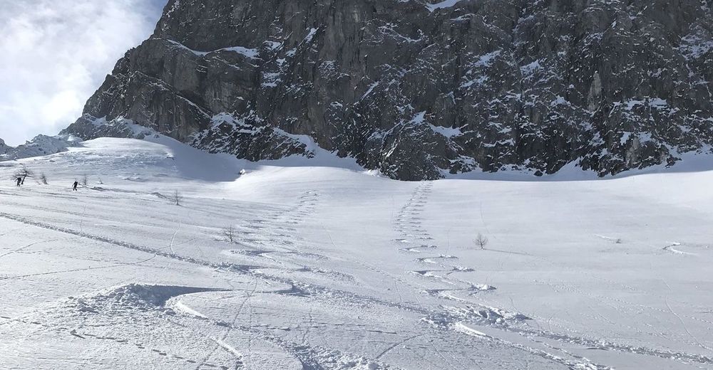
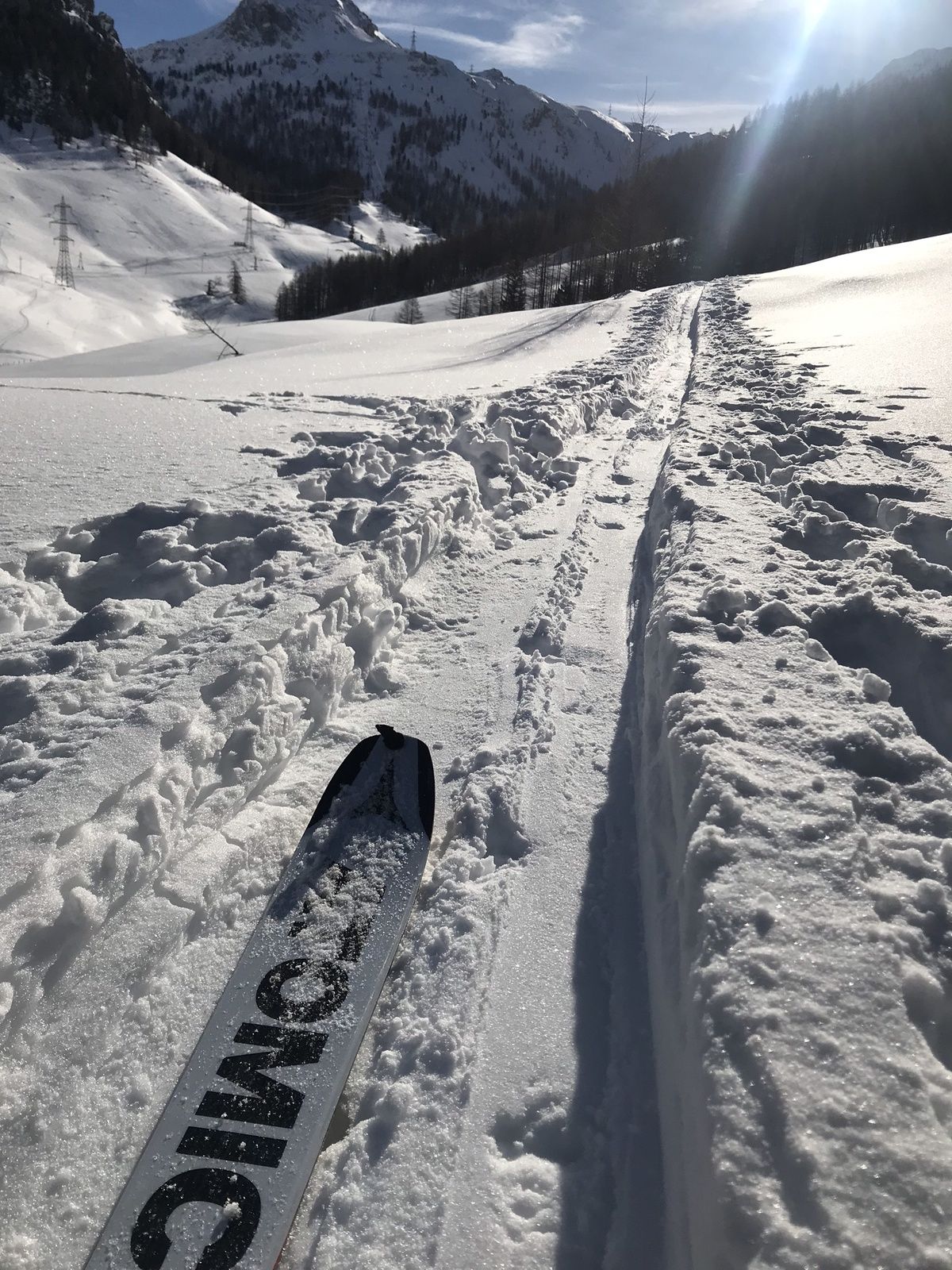
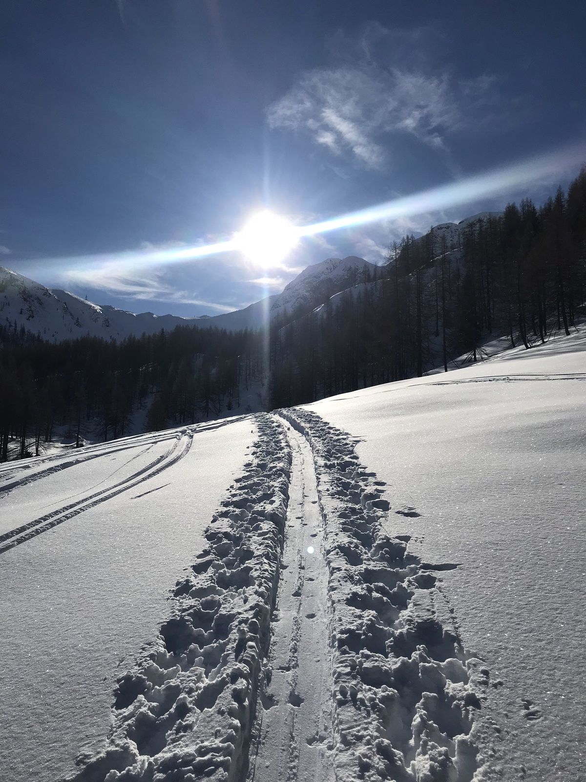
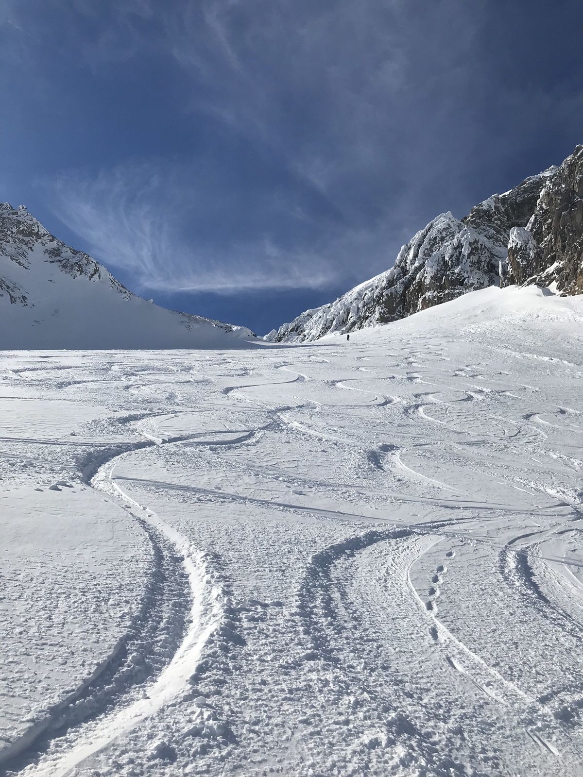
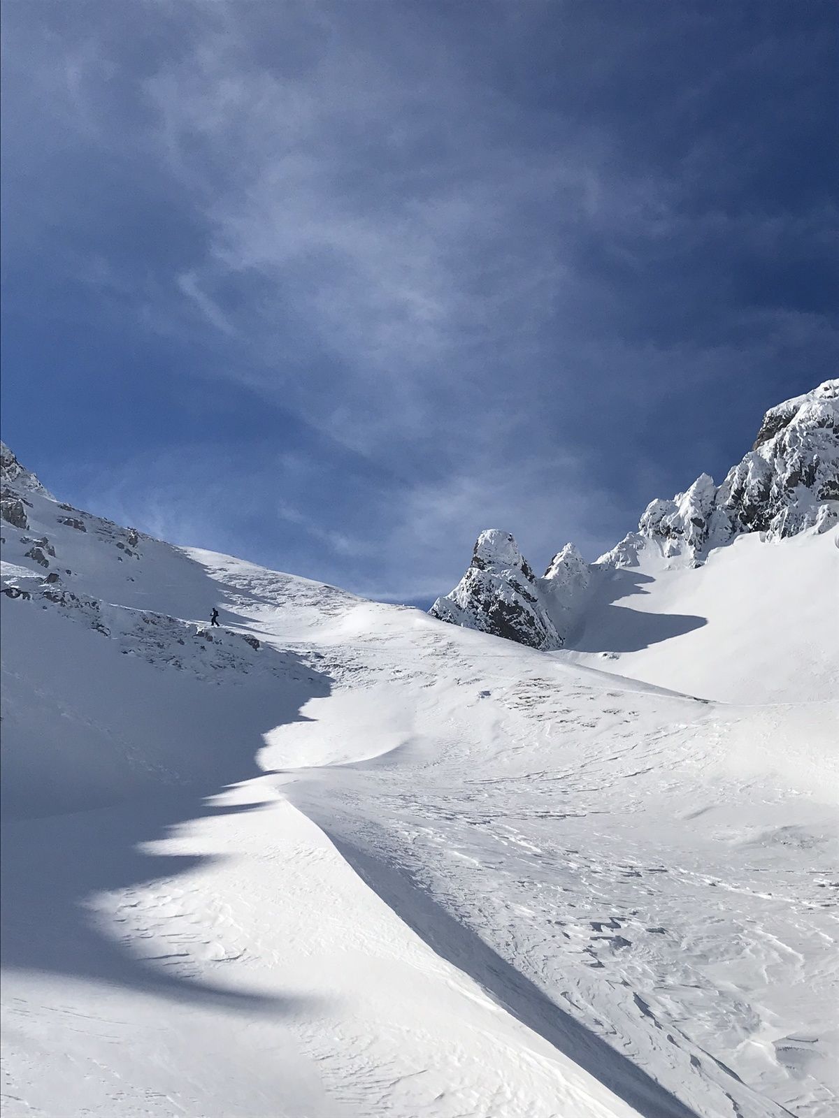
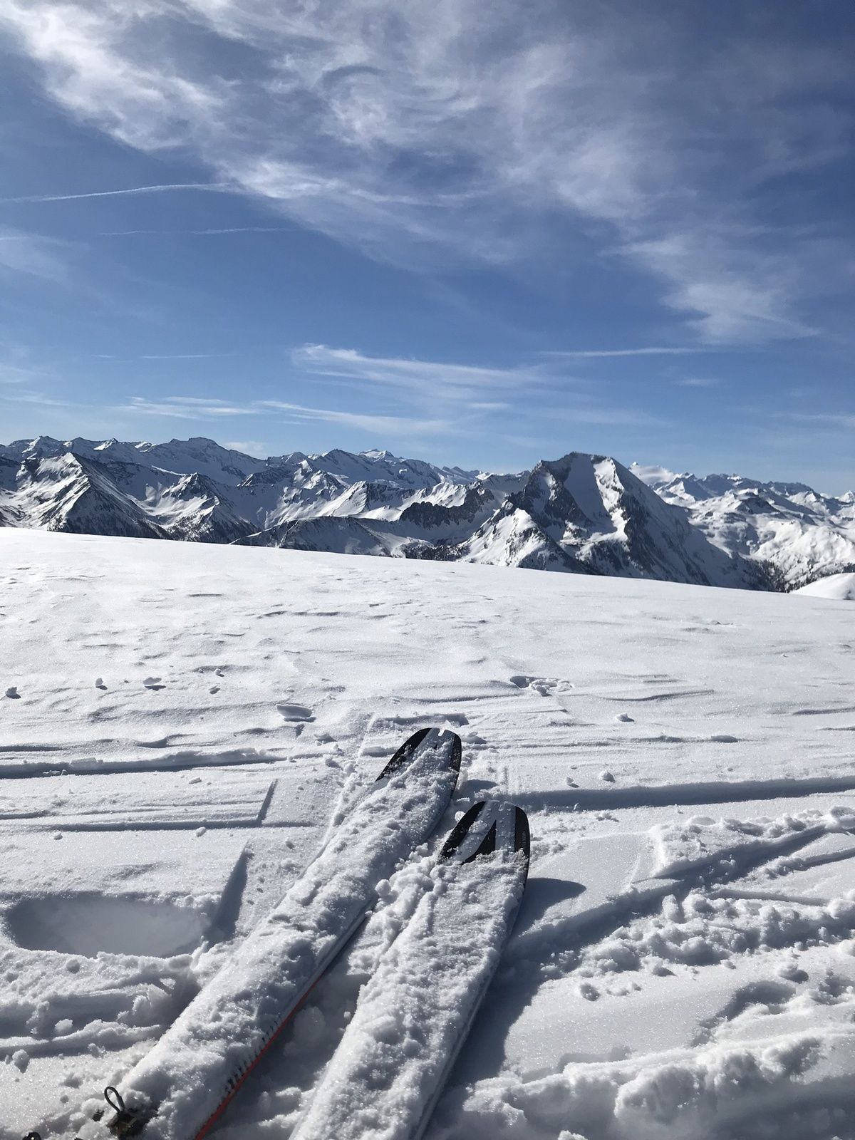
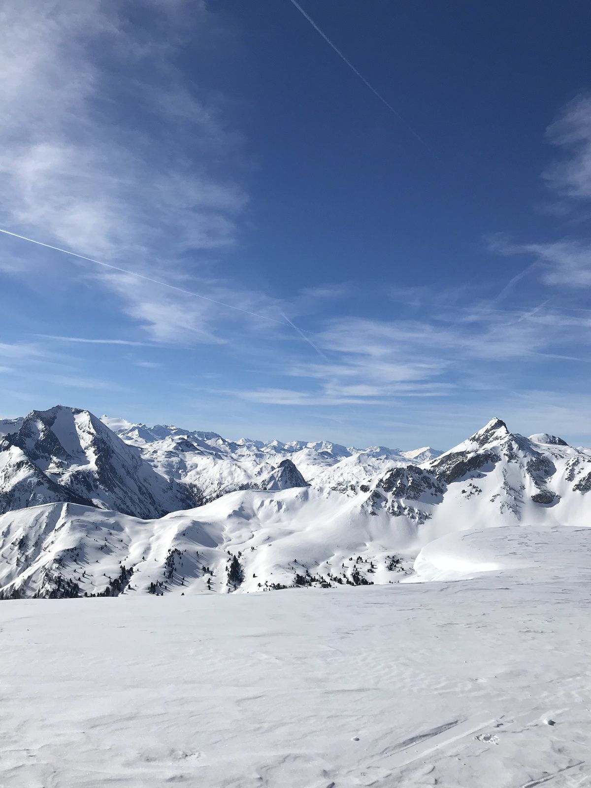
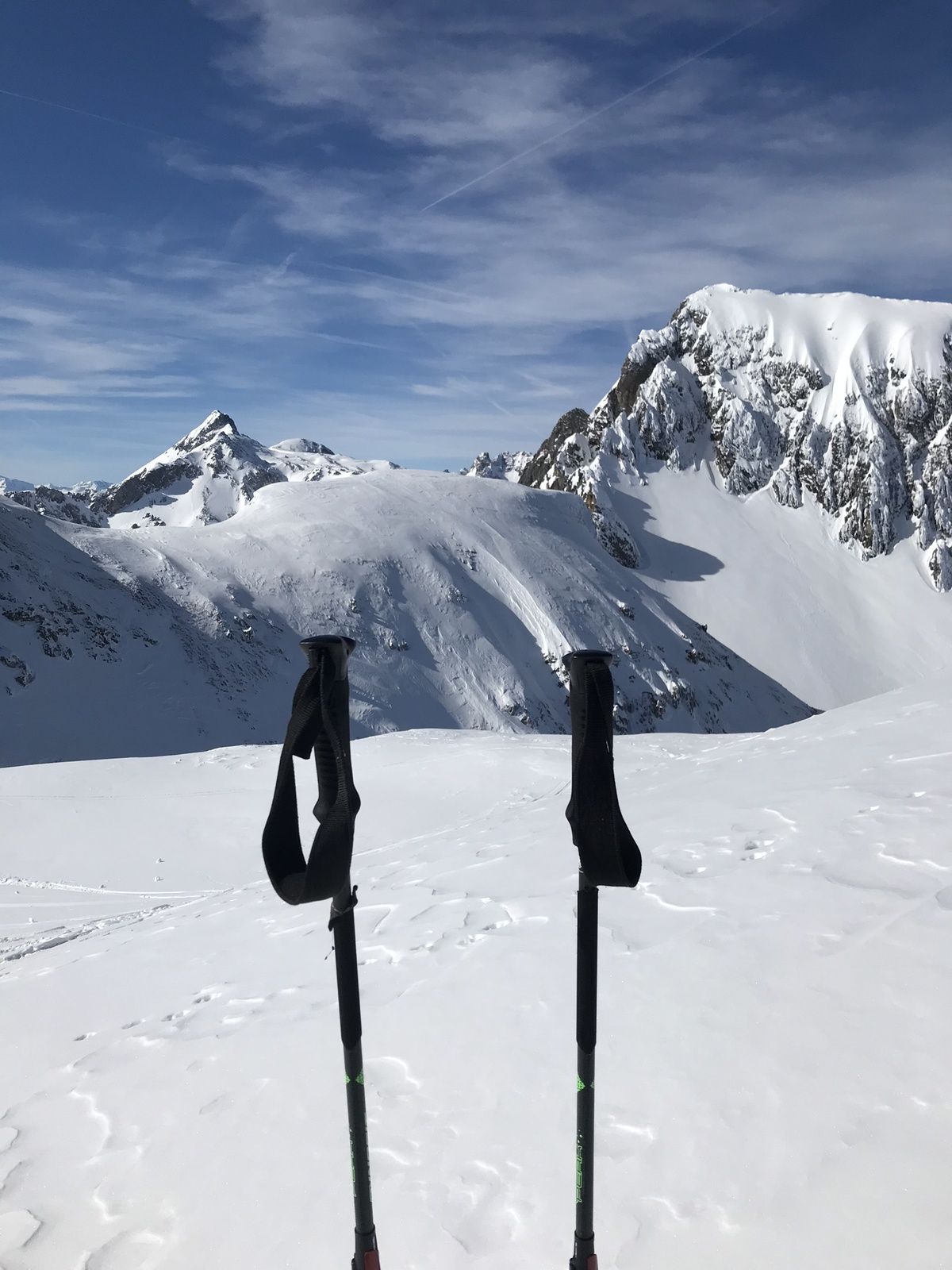
The Taferlnock with its 2,375m is an imposing elevation in the outlet of the Hohe Tauern. This tour requires a good level of fitness and alpine surefootedness.
- Teškoća
-
teška
- Vrednovanje
-
- Wegverlauf
-
Taferlnock (2.375 m)6,0 km
- Beste Jahreszeit
-
kolrujlisstuprosijveljožutrasvilipsrp
- Höchster Punkt
- 2.369 m
- Zielpunkt
-
Parking Gasthofalm
- Höhenprofil
-


-

-
AutorDie Tour Skitour Taferlnock wird von outdooractive.com bereitgestellt.
GPS Downloads


Opće informacije
Aussichtsreich
Weitere Touren in den Regionen
-
Katschberg Lieser-Maltatal
262
-
Obertauern
154
-
Untertauern
49
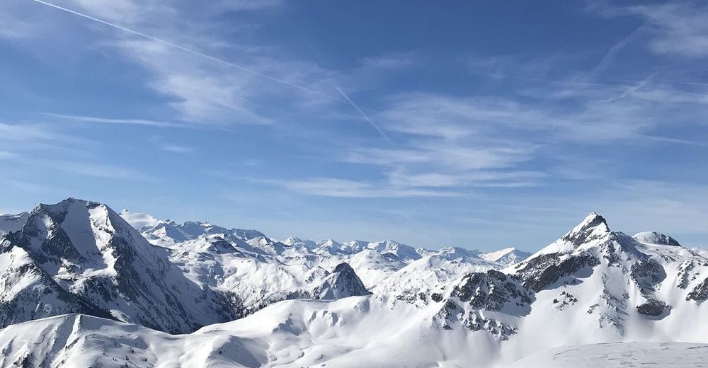
 und den Kleinen (rechts daneben) Pleißlingkeil.")