© Saalbach Hinterglemm - saalbach.com, Daniel Roos
© Saalbach Hinterglemm - saalbach.com, Daniel Roos
© Saalbach Hinterglemm - saalbach.com, Daniel Roos

© Saalbach Hinterglemm - saalbach.com, Daniel Roos
© Saalbach Hinterglemm - saalbach.com, Daniel Roos
- Kratak opis
-
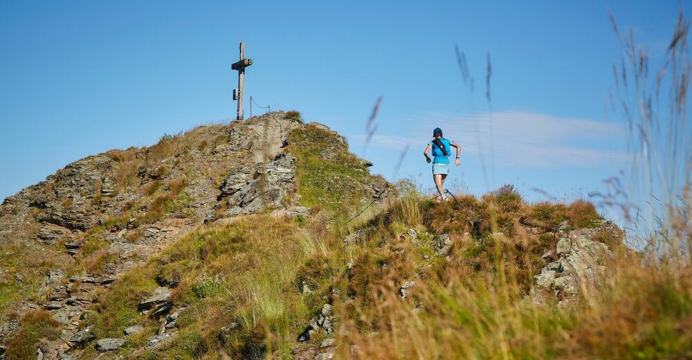
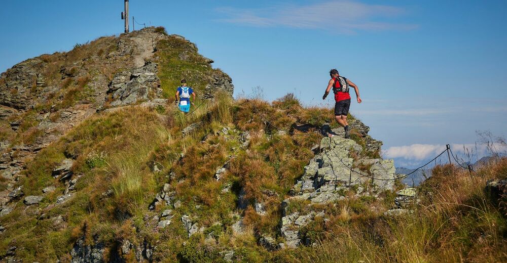
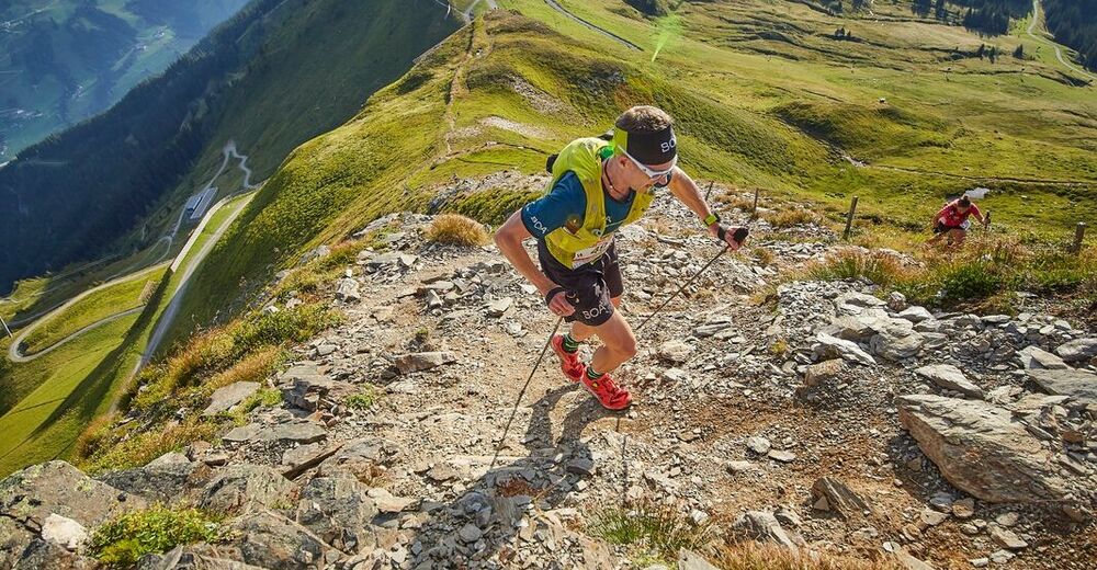
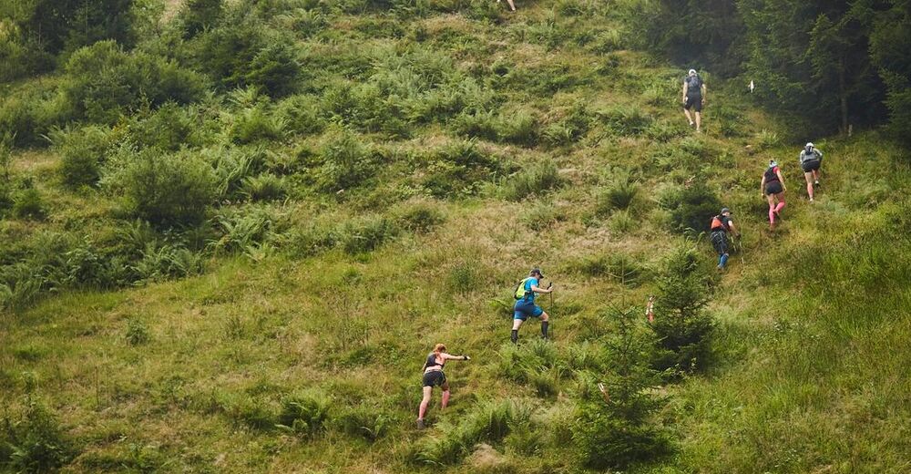
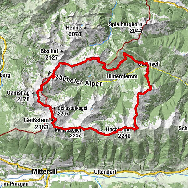
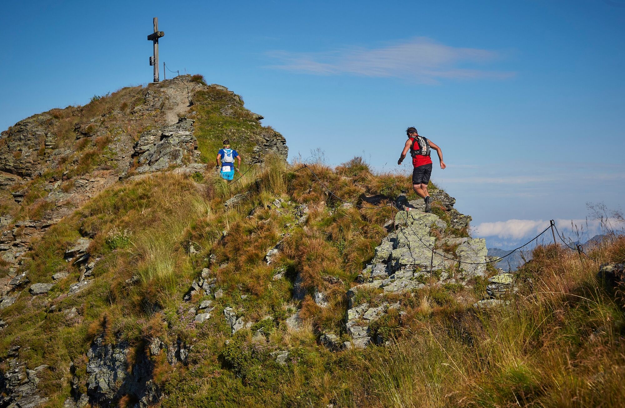
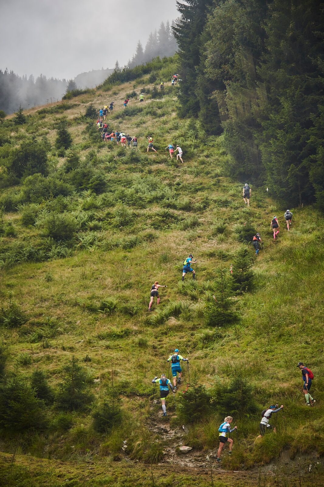
On Saturday, August 21st, 2021, you can expect a terrific trail run with a complete tour of the Glemmtal valley over the mountain peaks. 13 summit crosses and an imposing foresight ensure a big grin even at a distance of 47 km and 3500 meters altitude.
- Teškoća
-
teška
- Vrednovanje
-
- Wegverlauf
-
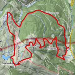
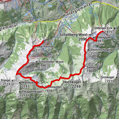
SaalbachSchattberg-Ost (2.018 m)3,1 kmSkyRest3,1 kmMittelgipfel (2.097 m)4,0 kmWestgipfelhütte4,5 kmStemmerkogel (2.123 m)5,8 kmSaalbachkogel (2.092 m)7,3 kmSeetörl (1.964 m)7,7 kmKlinglertörl (2.059 m)9,1 kmHochkogel (2.249 m)9,7 kmHochsaalbachkogel (2.212 m)10,2 kmMedalkogel (2.123 m)10,9 kmSonnberg (2.187 m)11,8 kmBärensteigkopf (2.225 m)12,1 kmLamperbichlkogel (2.036 m)13,4 kmSommertörl (1.939 m)13,9 kmRabenkopf (2.074 m)15,0 kmManlitzkogel (2.247 m)16,3 kmZehentner Stange (2.114 m)17,1 kmMittagskogel (2.092 m)17,6 kmMurnauer Scharte (1.959 m)19,0 kmLeitenkogel (2.070 m)19,6 kmLeitenscharte19,7 kmSchlaberstatt (2.048 m)22,1 kmSchusterscharte (1.985 m)23,1 kmMittagskogel24,7 kmTor (1.933 m)26,0 kmSaaljoch (1.875 m)27,2 kmOberreiter Joch28,7 kmStaffkogel (2.115 m)29,6 kmHenlabjoch (1.860 m)31,6 kmSpieleckkogel (1.998 m)33,7 kmSpieleck 6er35,1 kmHochalm 6er36,1 kmReichkendlkopf (1.942 m)36,2 kmHochalmspitze (1.921 m)37,1 kmRoßwaldhütte39,2 kmWieseralm40,8 kmHasenauer 8er41,1 kmReiteralm42,4 kmSaalbach47,0 km
- Beste Jahreszeit
-
sijveljožutrasvilipsrpkolrujlisstupro
- Höchster Punkt
- 2.254 m
- Zielpunkt
-
Schattbergexpress Talstation in Saalbach
- Höhenprofil
-


-

-
AutorDie Tour 13 Summits Sky Marathon wird von outdooractive.com bereitgestellt.
GPS Downloads


Opće informacije
Einkehrmöglichkeit
Flora
Fauna
Aussichtsreich
Weitere Touren in den Regionen