


- Kratak opis
-
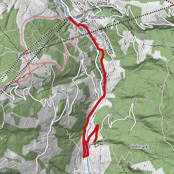
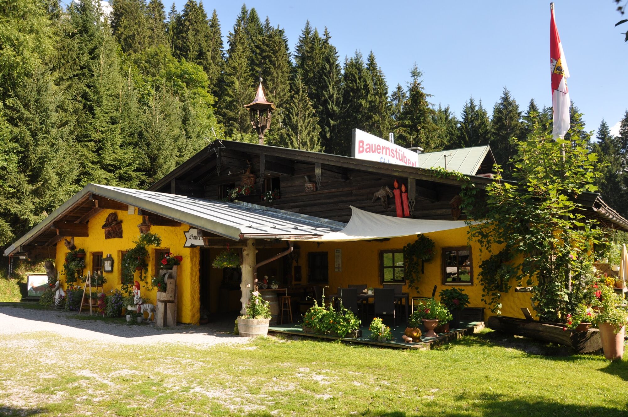
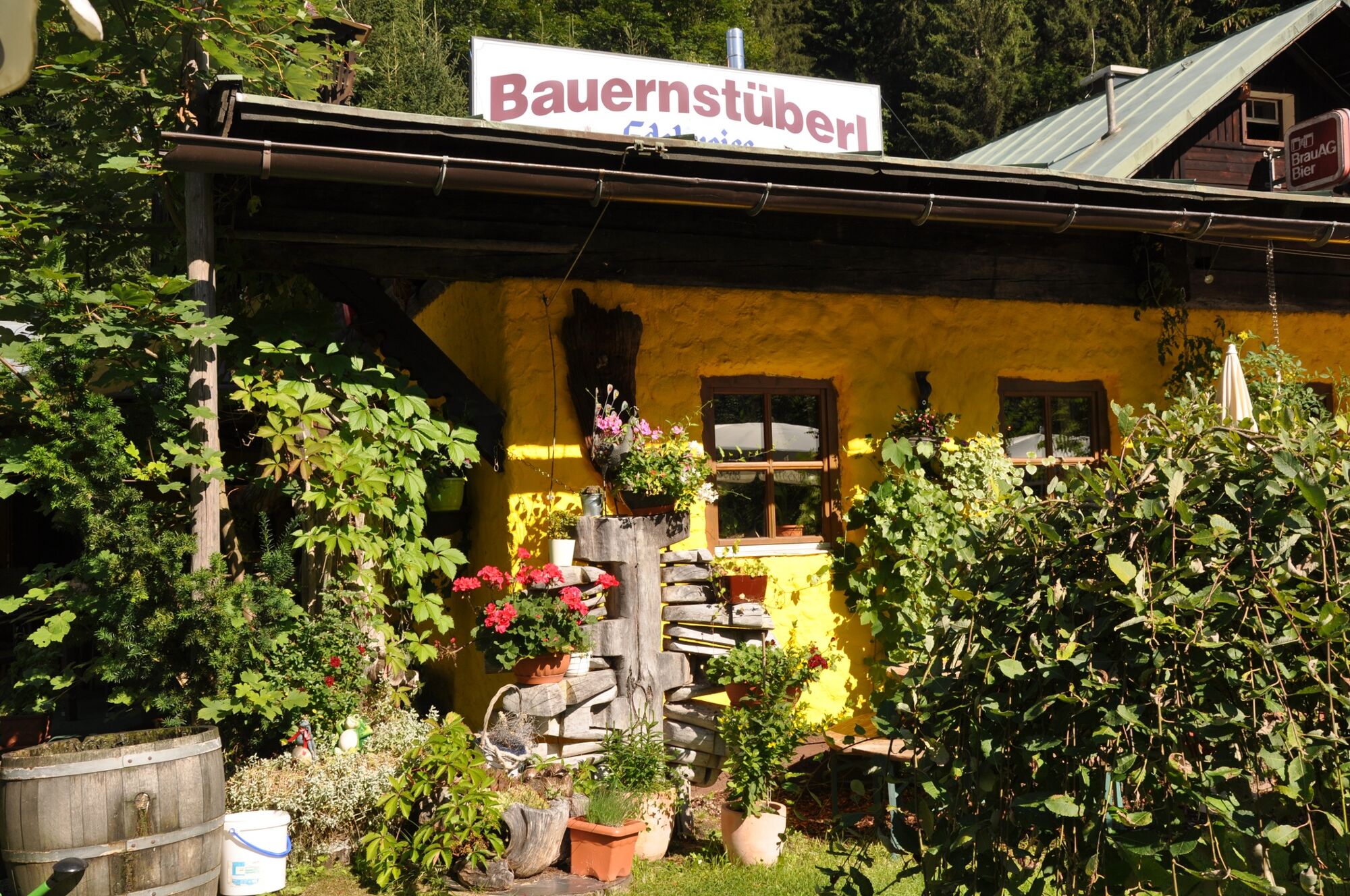
Comfortable, family-friendly hike to the Bauernstüberl!
- Teškoća
-
lagano
- Vrednovanje
-
- Wegverlauf
-
Fürbach0,3 kmBauernstübel3,3 km
- Beste Jahreszeit
-
sijveljožutrasvilipsrpkolrujlisstupro
- Höchster Punkt
- 954 m
- Zielpunkt
-
Bauernstüberl in Wagrain
- Höhenprofil
-

- Autor
-
Die Tour Bauernstüberl via the Kleinarl hiking trail wird von outdooractive.com bereitgestellt.
GPS Downloads


Opće informacije
Einkehrmöglichkeit
Weitere Touren in den Regionen


