
- Kratak opis
-
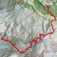
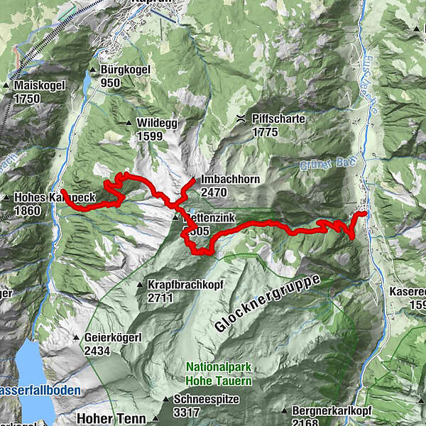
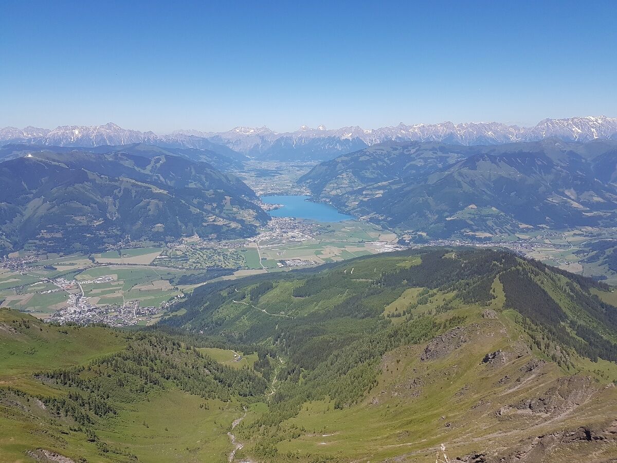
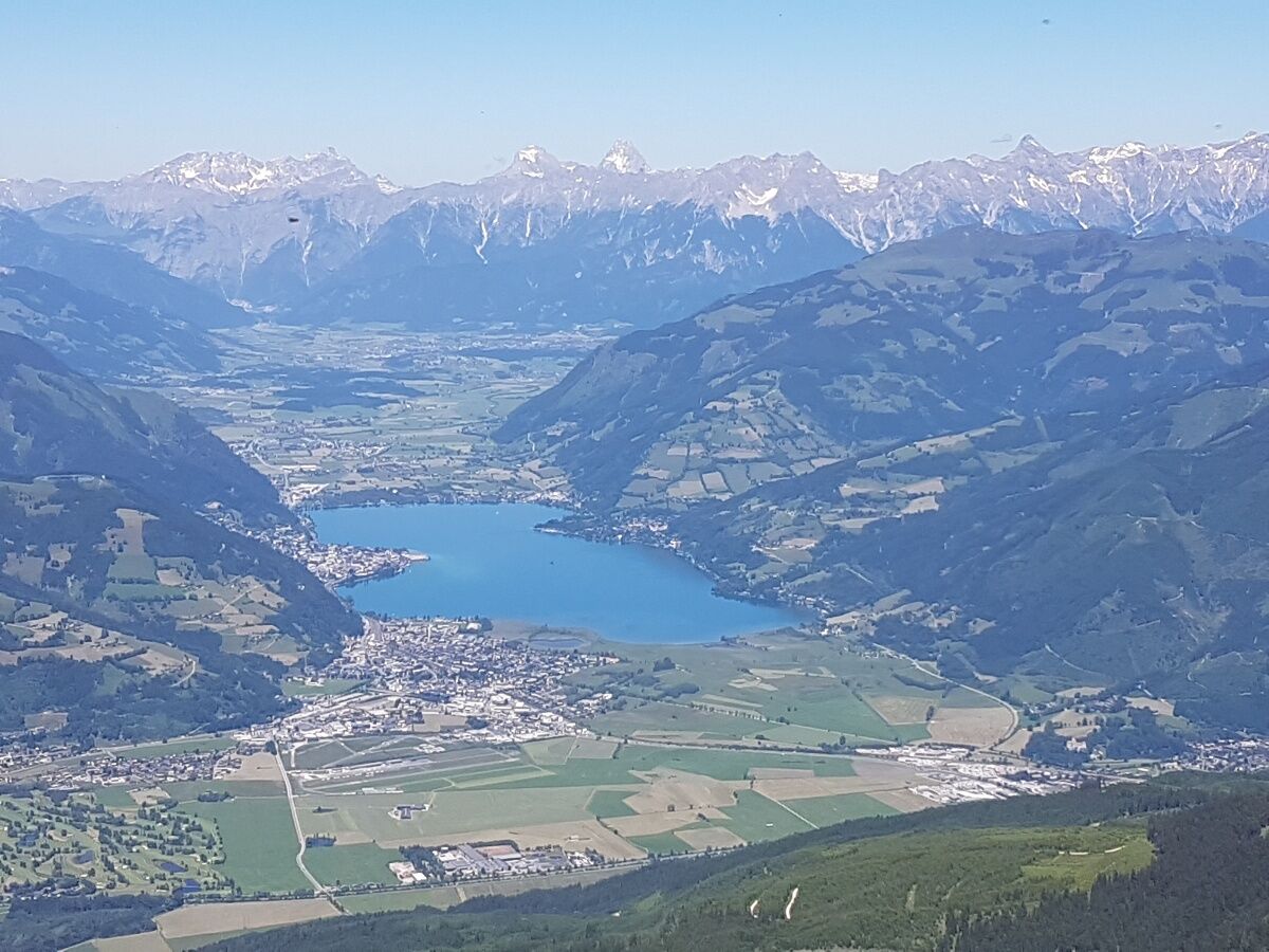
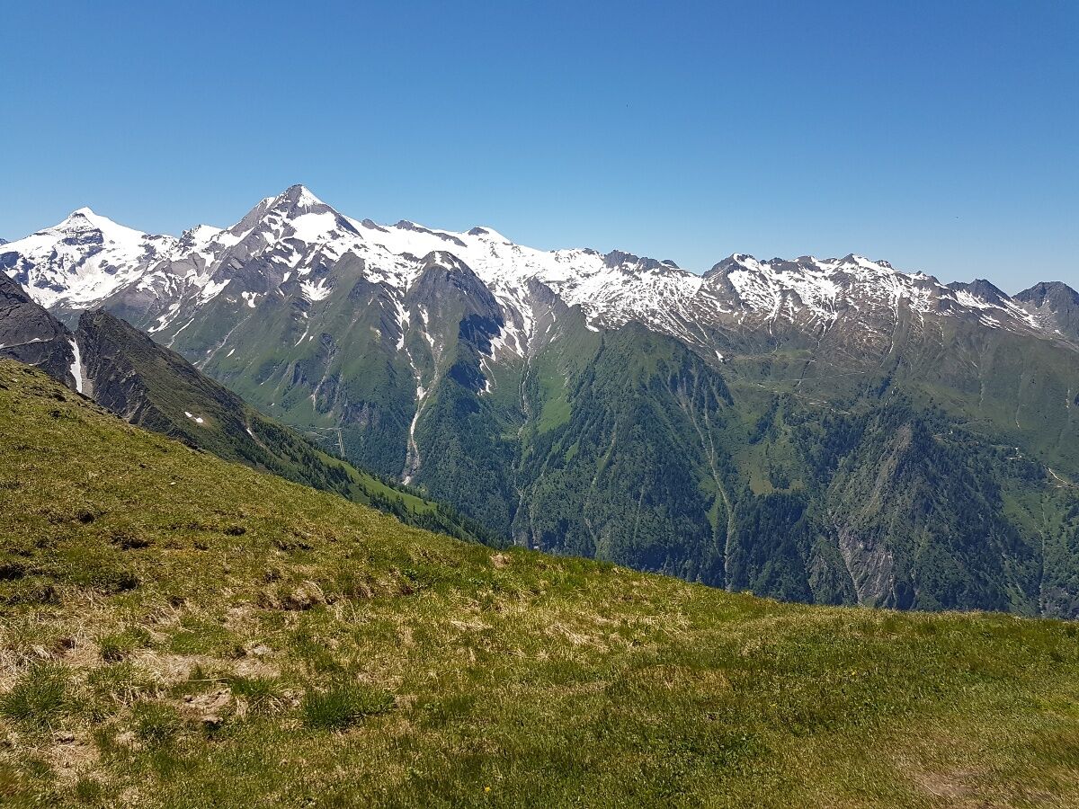
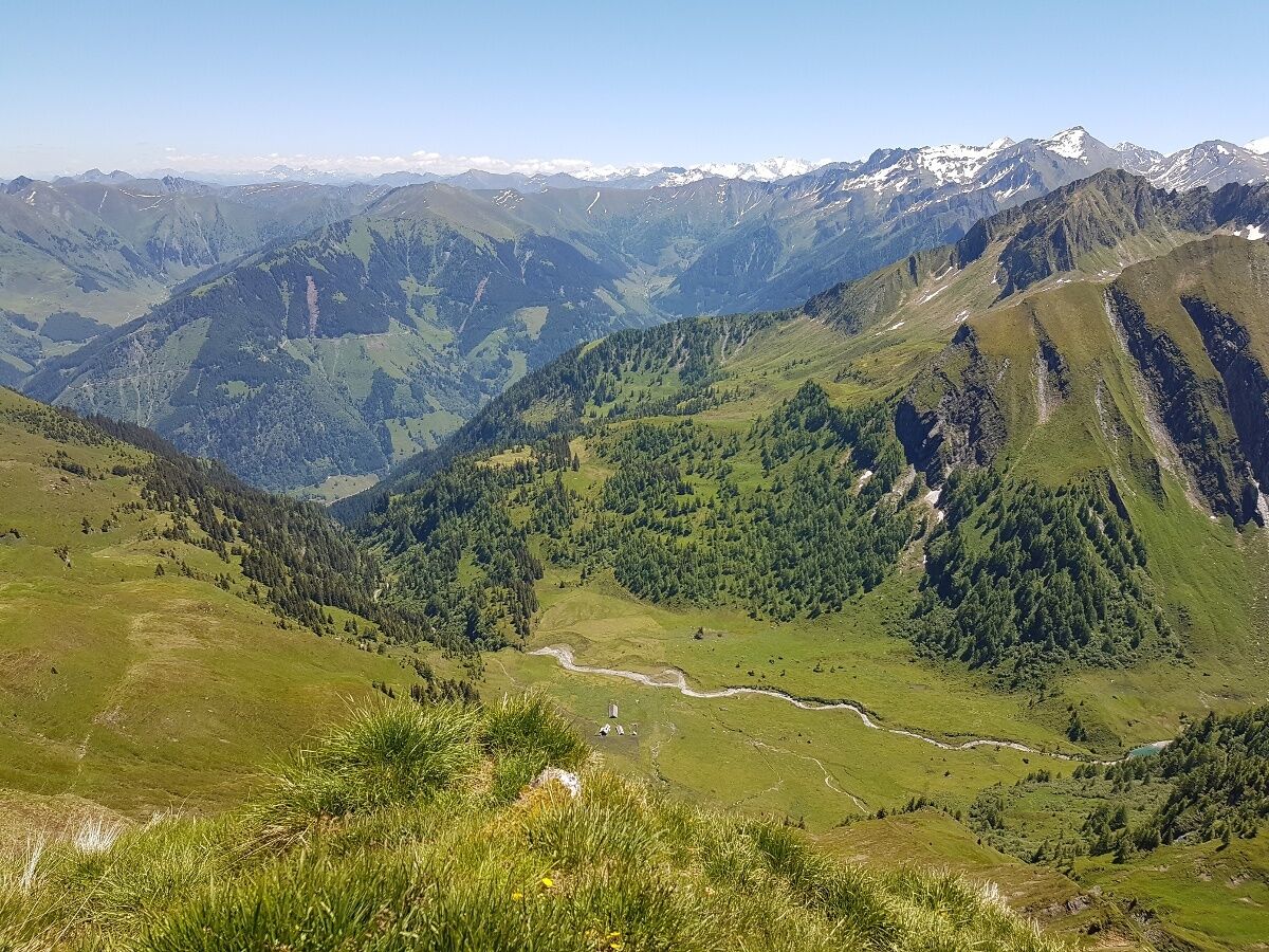
peak tour to the 2470 m high Imbachhorn. Circular walk in Kaprun or down over the Gleiwitzerhütte (overnight stay possible) to Fusch.
- Teškoća
-
srednje
- Vrednovanje
-
- Wegverlauf
-
Brandlscharte (2.371 m)6,0 kmImbachhorn (2.470 m)6,8 kmGleiwitzer Hütte9,6 kmHirzbachwasserfälle16,3 kmFusch an der Großglocknerstraße17,6 km
- Beste Jahreszeit
-
sijveljožutrasvilipsrpkolrujlisstupro
- Höchster Punkt
- 2.405 m
- Zielpunkt
-
variabel
- Höhenprofil
-


-

-
AutorDie Tour Imbachhorn wird von outdooractive.com bereitgestellt.
GPS Downloads


Opće informacije
Einkehrmöglichkeit
Flora
Fauna
Aussichtsreich
Weitere Touren in den Regionen