© Salzburger Saalachtal Tourismus - Elisabeth Schmiderer

© Salzburger Saalachtal Tourismus - Elisabeth Schmiderer

© Salzburger Saalachtal Tourismus - Elisabeth Schmiderer

© Salzburger Saalachtal Tourismus - Elisabeth Schmiderer

© Salzburger Saalachtal Tourismus - Elisabeth Schmiderer

© Salzburger Saalachtal Tourismus - Elisabeth Schmiderer

© Salzburger Saalachtal Tourismus - Elisabeth Schmiderer

© Salzburger Saalachtal Tourismus - Elisabeth Schmiderer

© Salzburger Saalachtal Tourismus - Elisabeth Schmiderer

© Salzburger Saalachtal Tourismus - Elisabeth Schmiderer

- Kratak opis
-
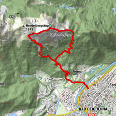
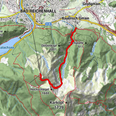
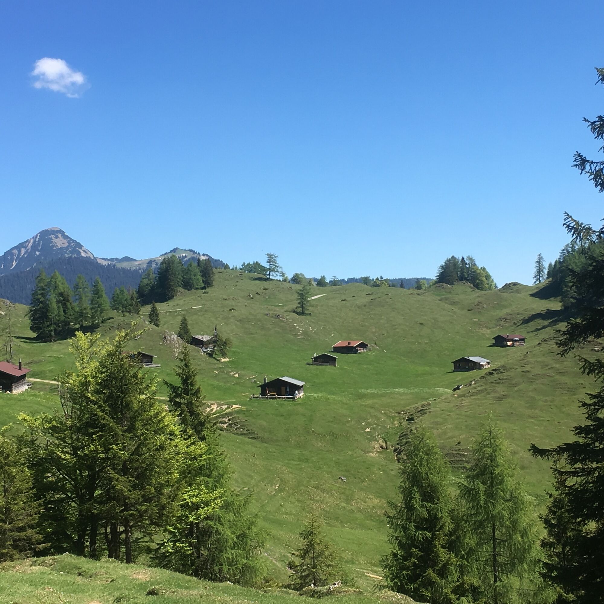
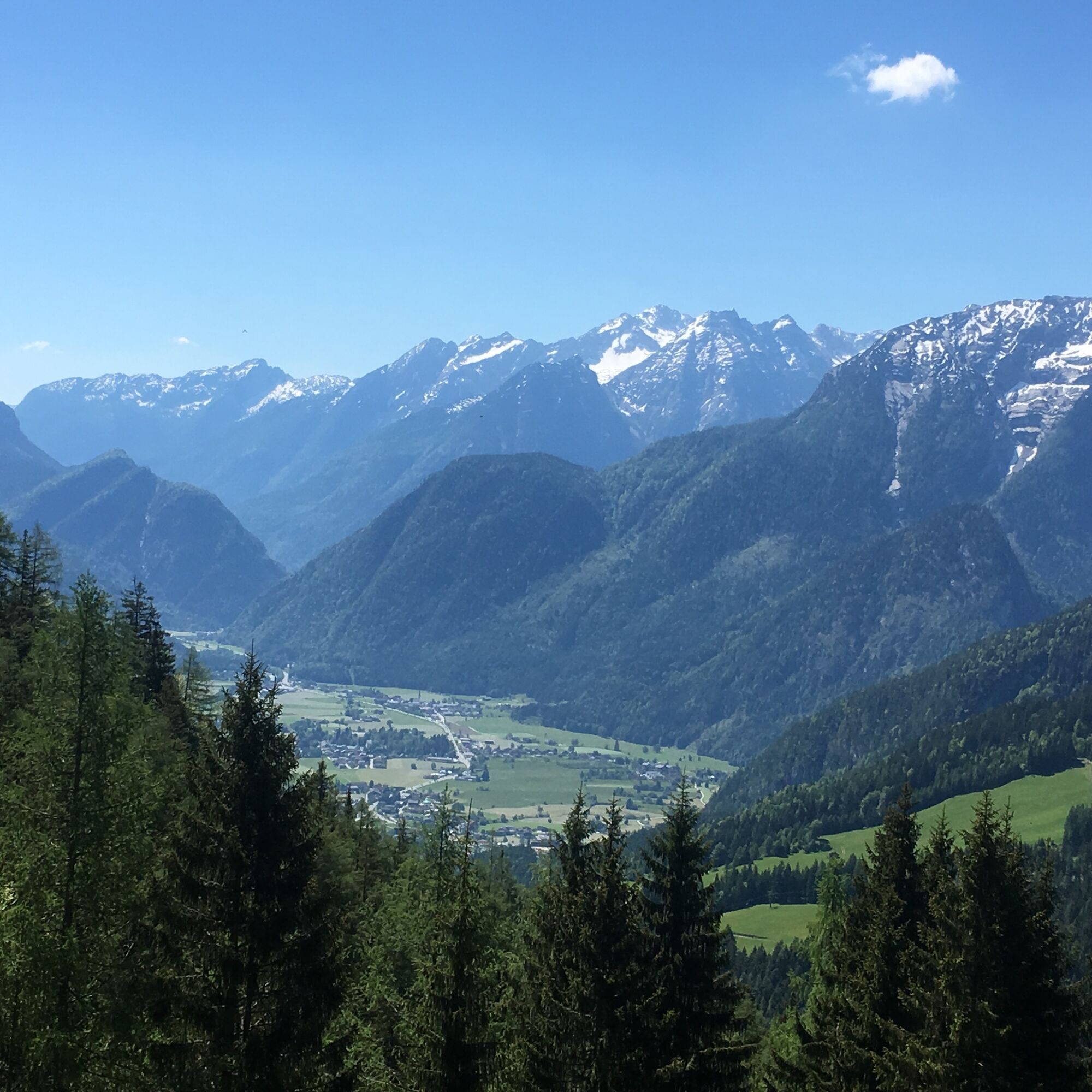
Beautiful circular hike on the traces of former alpine life. From Unkenberg via the Thälernalm, the Thälernkogel - past the Astenalm and the Hornwiesalm - possibly with an ascent of the Dietrichshorn - via the Hoisenhöhe and the Unkenberger Mähder back to the car park.
- Teškoća
-
srednje
- Vrednovanje
-
- Wegverlauf
-
Astenalm4,7 km
- Beste Jahreszeit
-
sijveljožutrasvilipsrpkolrujlisstupro
- Höchster Punkt
- 1.376 m
- Zielpunkt
-
Unken - Unkenberg car park
- Höhenprofil
-


-

-
AutorDie Tour Panoramic hike around the Dietrichshorn wird von outdooractive.com bereitgestellt.
GPS Downloads


Opće informacije
Aussichtsreich
Weitere Touren in den Regionen