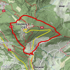
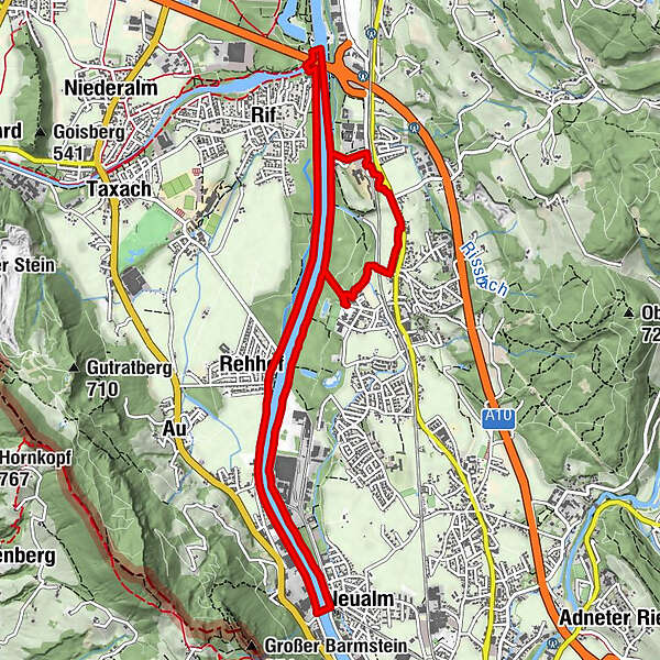
Puch: Salzachuferweg - circular trail via Kaltenhausen and Urstein (No. 16, 6 points)


© Gästeservice Tennengau - TVB Puch / Kuscheiart

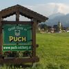
© Puch bei Salzburg

© Gästeservice Tennengau - TVB Puch / Kuscheiart
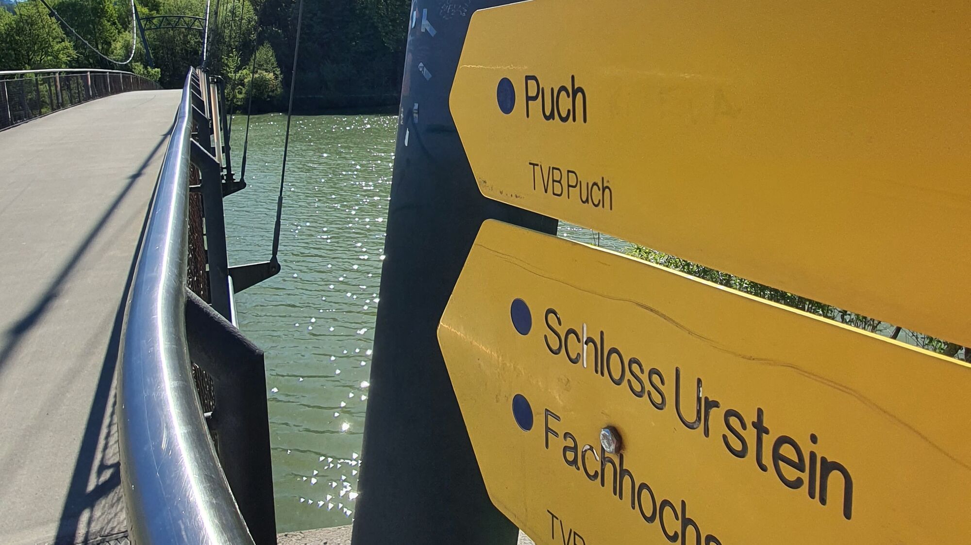
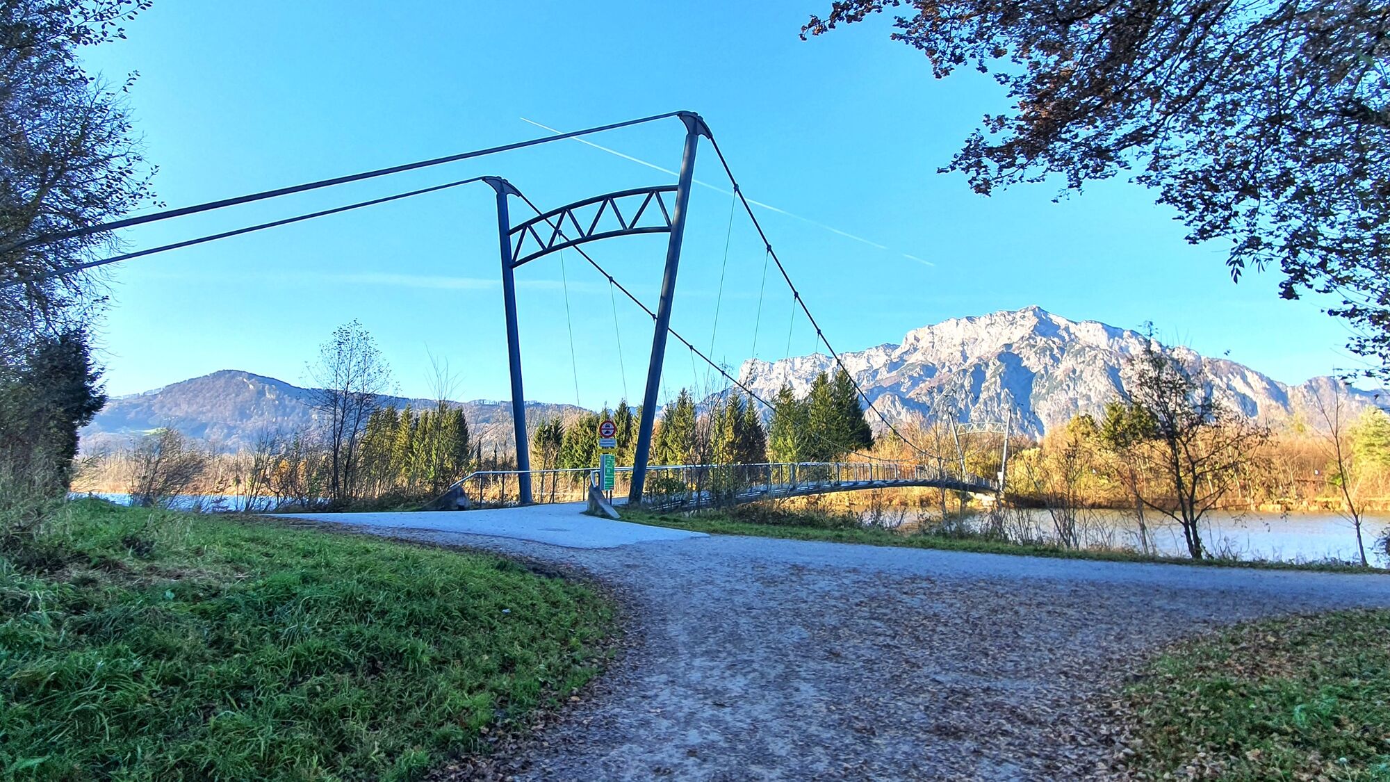
© Tourismusverband Puch - Barbara Gerber
© Tourismusverband Puch - Barbara Gerber
© Tourismusverband Puch - Barbara Gerber
© Tourismusverband Puch - Barbara Gerber
© Tourismusverband Puch - Barbara Gerber
© Tourismusverband Puch - Barbara Gerber
© Tourismusverband Puch - Barbara Gerber
- Kratak opis
-
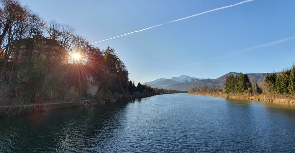
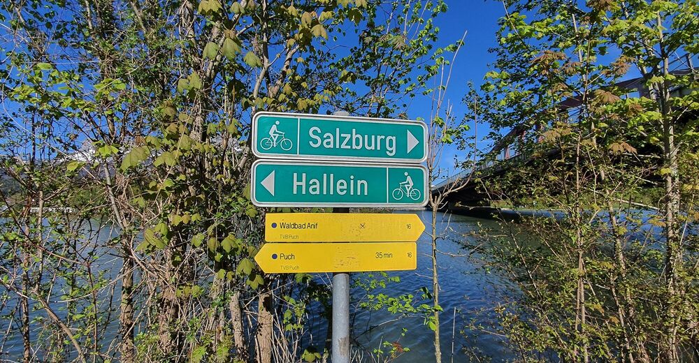
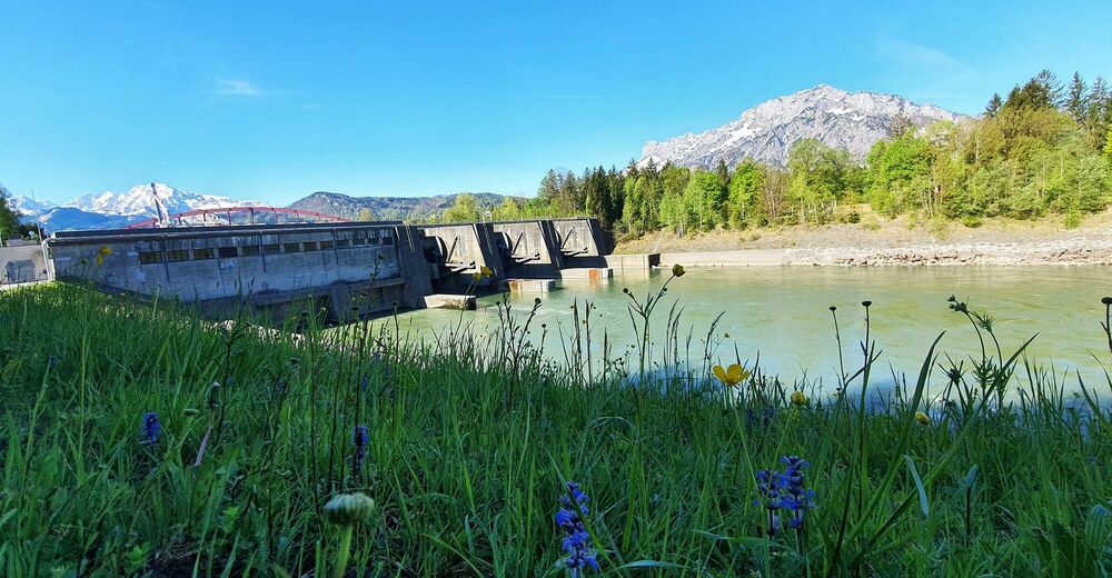
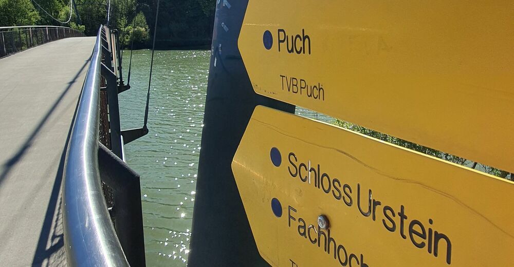
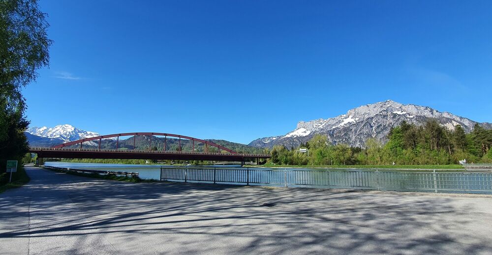
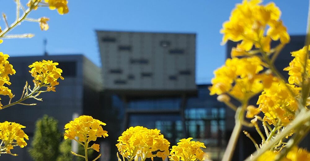
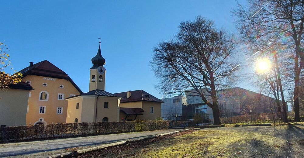
Pleasant hike from the center of Puch alongside the River Salzach. An easy path via Kaltenhausen, Salzburg University of Applied Sciences and the Urstein power station.
- Teškoća
-
lagano
- Vrednovanje
-
- Wegverlauf
-
Puch bei HalleinHallein3,6 kmNeualm3,7 kmRehhof5,6 kmRifer Spitz8,2 kmPuch bei Hallein11,3 kmPfarrkirche Puch bei Hallein11,5 kmPuch11,5 km
- Beste Jahreszeit
-
sijveljožutrasvilipsrpkolrujlisstupro
- Höchster Punkt
- 447 m
- Zielpunkt
-
Public parking in the center of Puch (next to the village hall).
- Höhenprofil
-


-
-
AutorDie Tour Puch: Salzachuferweg - circular trail via Kaltenhausen and Urstein (No. 16, 6 points) wird von outdooractive.com bereitgestellt.
GPS Downloads


Opće informacije
Einkehrmöglichkeit
Aussichtsreich
Weitere Touren in den Regionen