


- Kratak opis
-
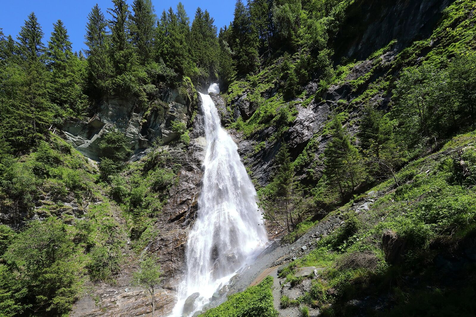
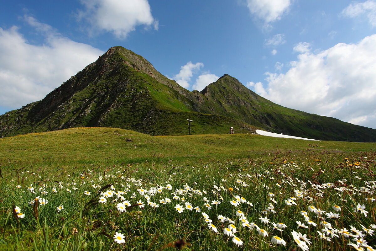
Beautiful hike in Hüttschlag to the source of the Mur, the largest river in Styria.
- Teškoća
-
srednje
- Vrednovanje
-
- Wegverlauf
-
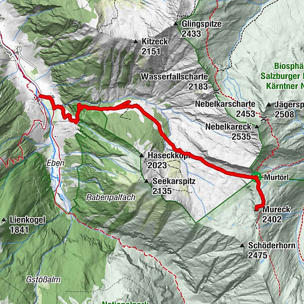
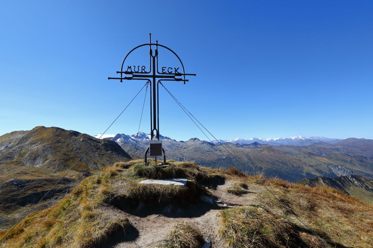
Kreealm-Wasserfall0,6 kmKreealm Kreehüte2,4 kmKreealm Bichlhütte3,1 kmMureck (2.402 m)6,7 kmKreealm Bichlhütte10,2 kmKreealm-Wasserfall12,2 km
- Beste Jahreszeit
-
sijveljožutrasvilipsrpkolrujlisstupro
- Höchster Punkt
- 2.395 m
- Zielpunkt
-
Mureck
- Höhenprofil
-


- Autor
-
Die Tour Hüttschlag: Murtörl - Mureck - Kreealmen wird von outdooractive.com bereitgestellt.
GPS Downloads


Opće informacije
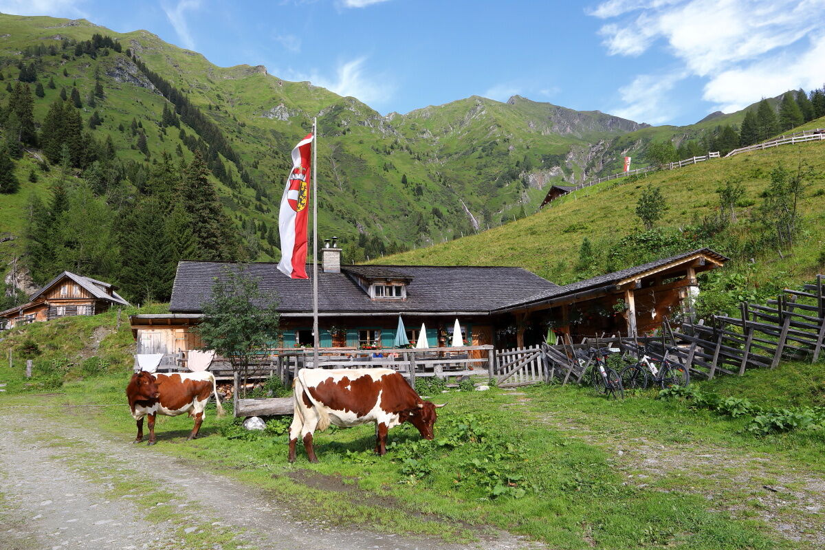
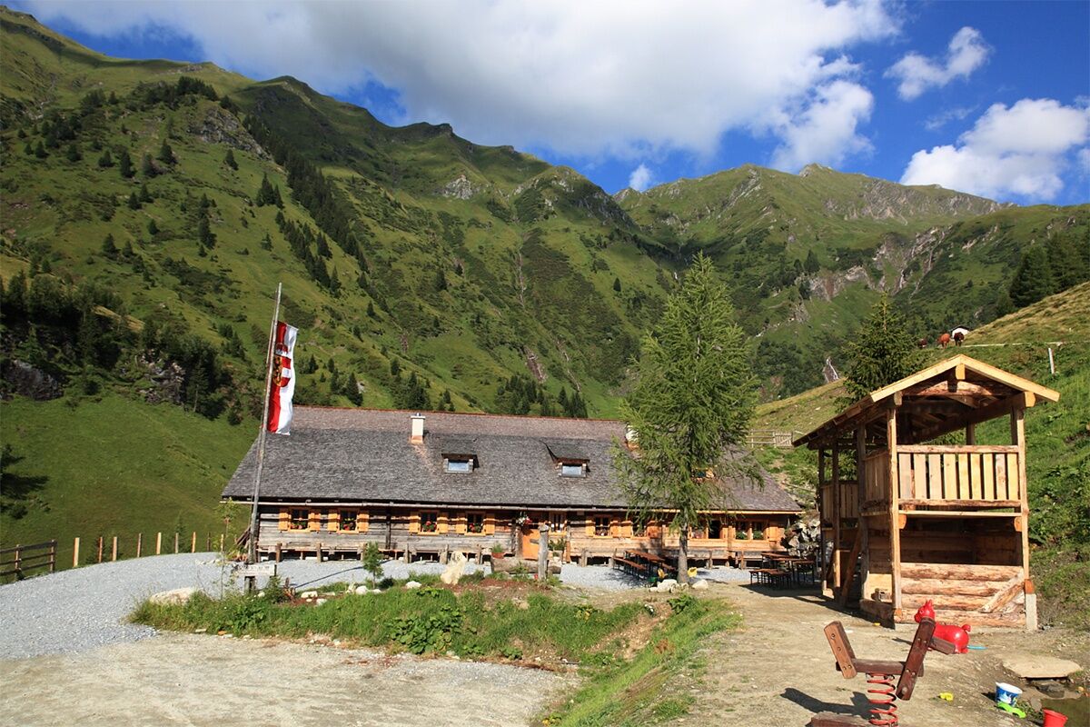
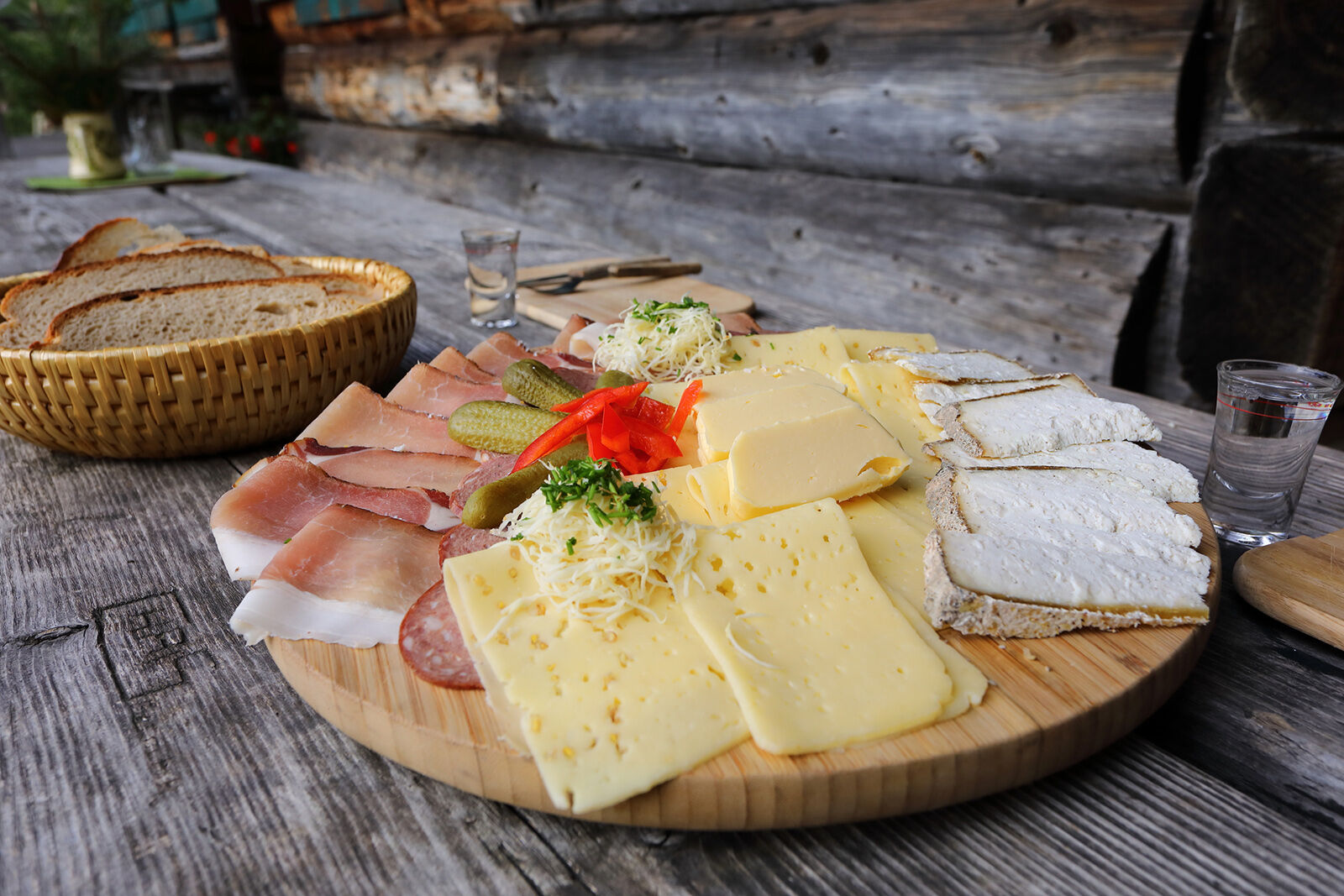
Einkehrmöglichkeit
Geheimtipp
Aussichtsreich
Weitere Touren in den Regionen
-
Katschberg Lieser-Maltatal
2574
-
Großarltal
2171
-
Hüttschlag
852


