
© (c) Wagrain-Kleinarl Tourismus

© (c) Wagrain-Kleinarl Tourismus

© (c) Wagrain-Kleinarl Tourismus
© Wagrain-Kleinarl Tourismus - Erwin Trampitsch
- Kratak opis
-
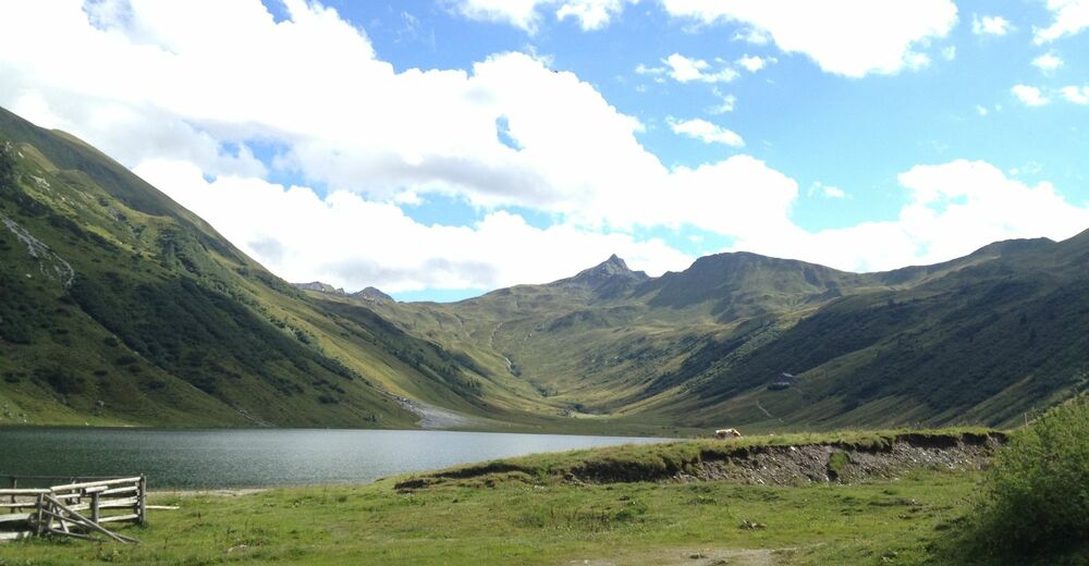
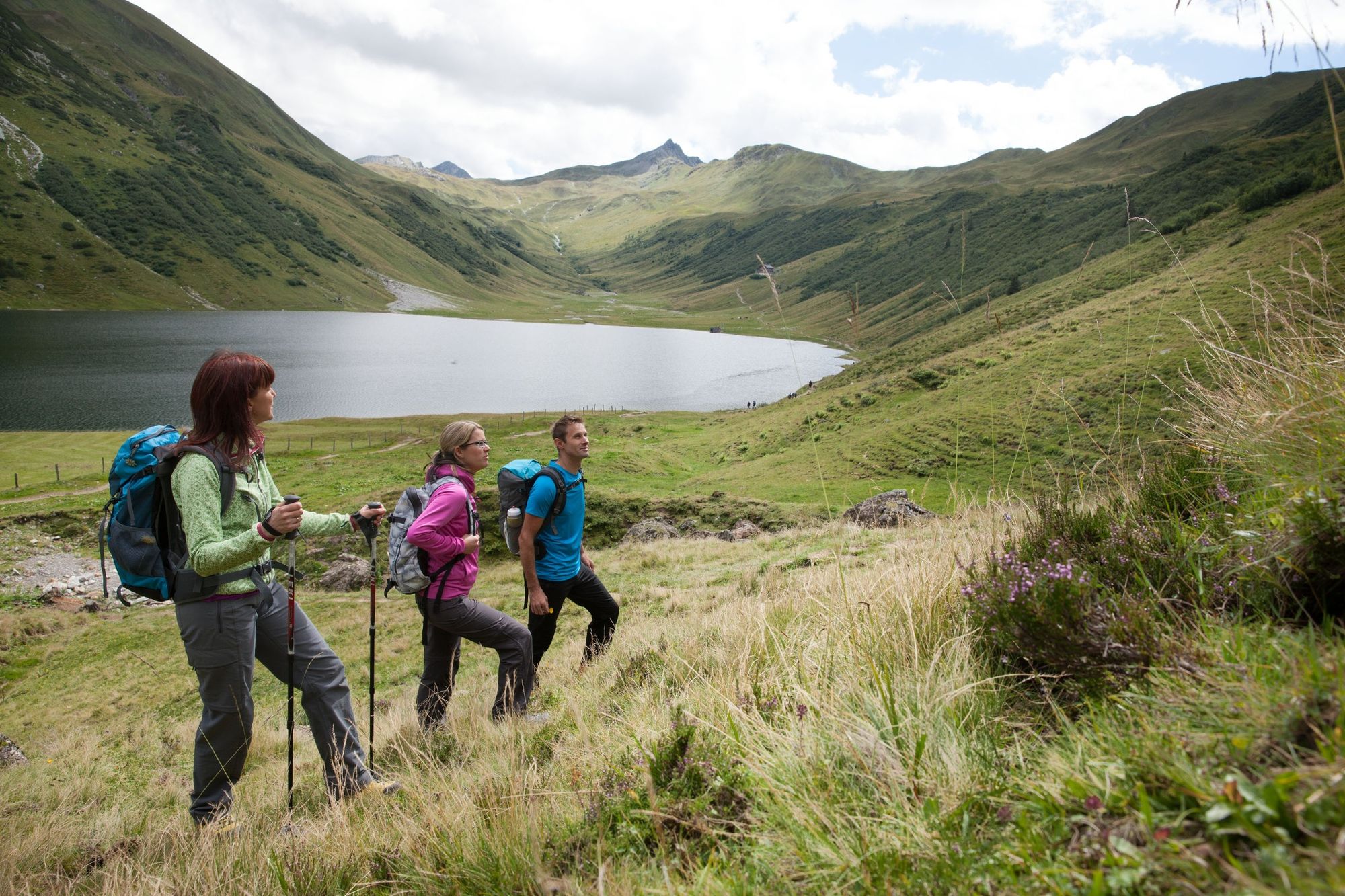
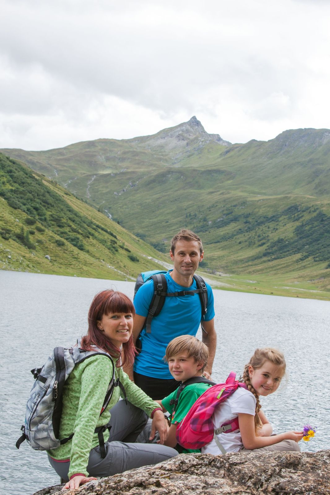
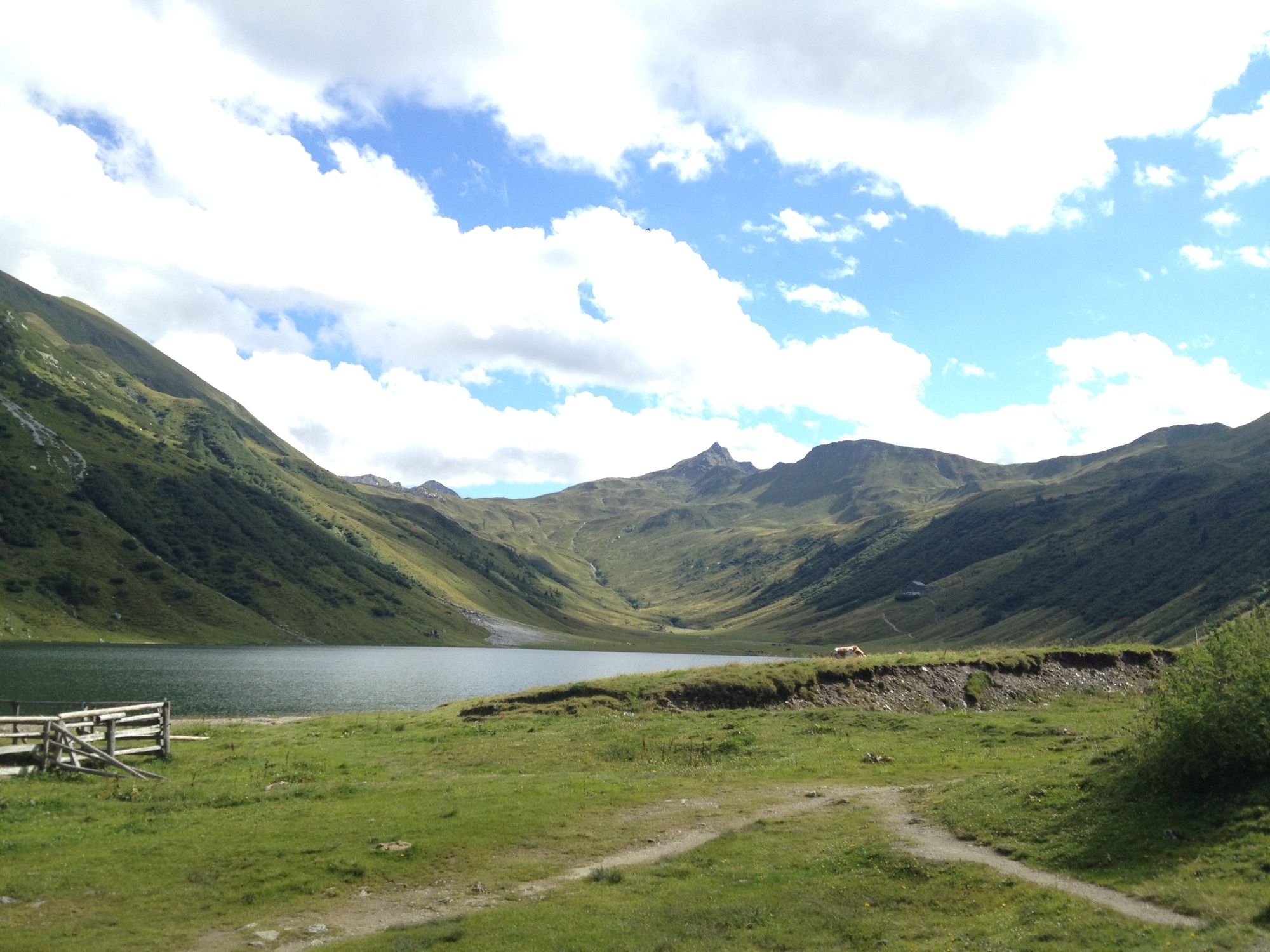
Wonderful and promising hike from the Jägersee or alternatively the Schwabalm, over the Tappenkarsee to the Glingspitze.
- Teškoća
-
srednje
- Vrednovanje
-
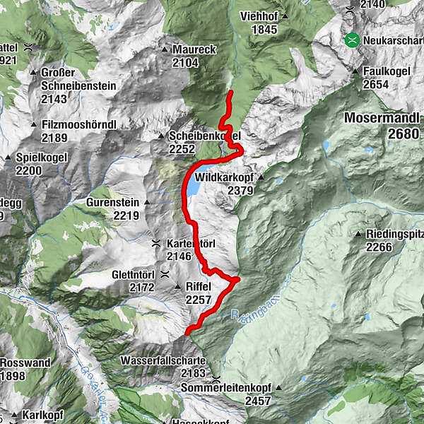
- Wegverlauf
-
Tappenkarsee Alm3,6 kmWurmkogel (2.151 m)7,9 kmGlingspitze (2.433 m)9,4 kmWurmkogel (2.151 m)10,8 kmTappenkarsee Alm15,3 kmMaterialseilbahn Tappenkaralm18,6 km
- Beste Jahreszeit
-
sijveljožutrasvilipsrpkolrujlisstupro
- Höchster Punkt
- 2.416 m
- Zielpunkt
-
summit Glingspitze (2433m)
- Höhenprofil
-


-

-
AutorDie Tour Glingspitze (2433m) wird von outdooractive.com bereitgestellt.
GPS Downloads


Opće informacije
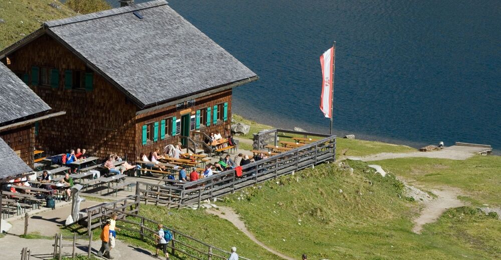
Einkehrmöglichkeit
Aussichtsreich
Weitere Touren in den Regionen


