- Kratak opis
-
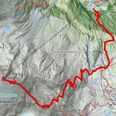
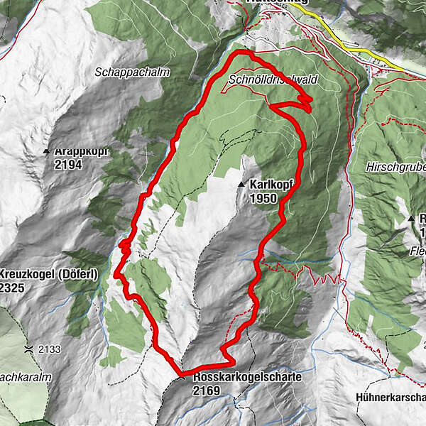
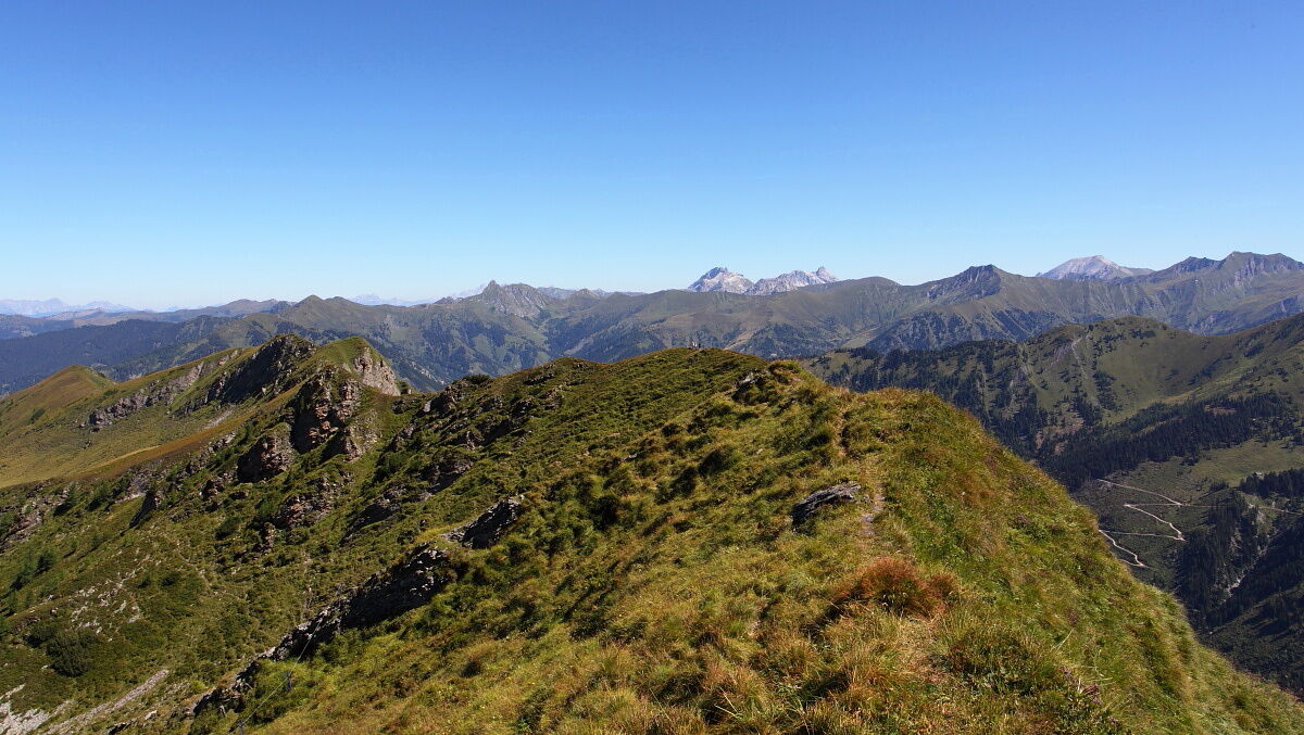
Beautiful round trip from the Reitalm to the Rosskarkopfscharte and the Vorderkaseralm.
- Teškoća
-
srednje
- Vrednovanje
-
- Wegverlauf
-
Reitalm3,6 kmVorderkaseralm8,0 km
- Beste Jahreszeit
-
sijveljožutrasvilipsrpkolrujlisstupro
- Höchster Punkt
- 2.149 m
- Zielpunkt
-
Vorderkaseralm
- Höhenprofil
-

- Autor
-
Die Tour Hüttschlag: Reitalm - Rosskarkopfscharte - Vorderkaseralm wird von outdooractive.com bereitgestellt.
GPS Downloads


Opće informacije
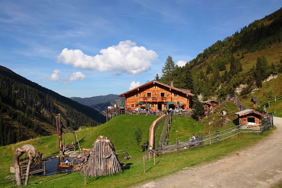
Einkehrmöglichkeit
Aussichtsreich
Weitere Touren in den Regionen