© Hochkönig - Katrin Gerdisnik
© TVB Mühlbach am Hochkönig - TVB Mühlbach am Hochkönig
© TVB Mühlbach am Hochkönig - TVB Mühlbach am Hochkönig

- Kratak opis
-
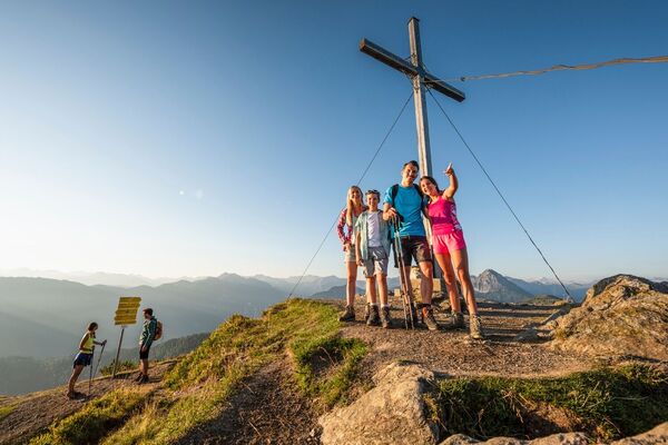
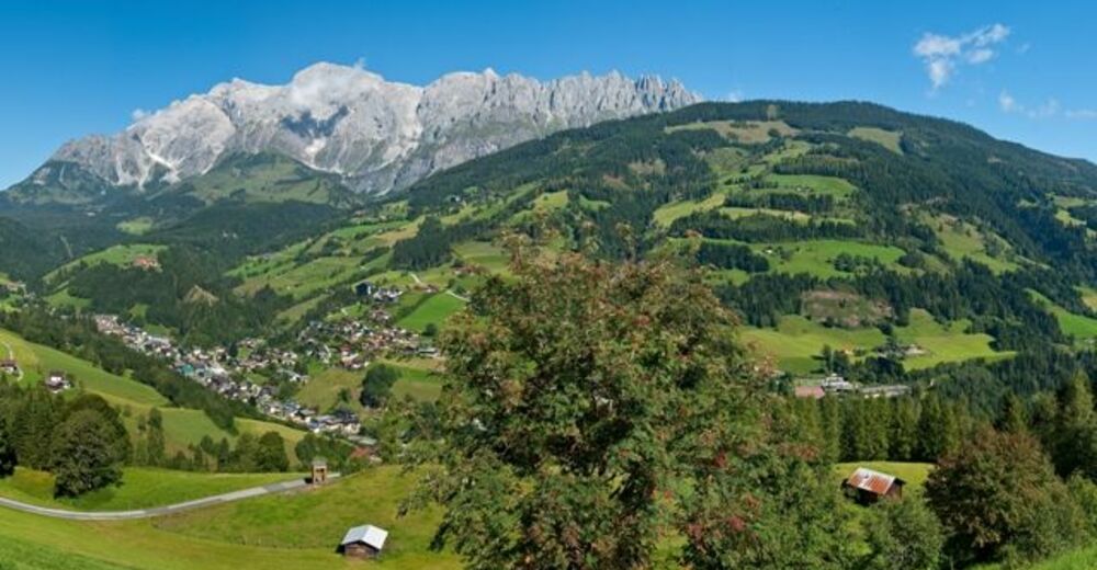
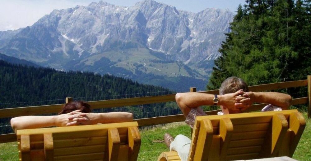
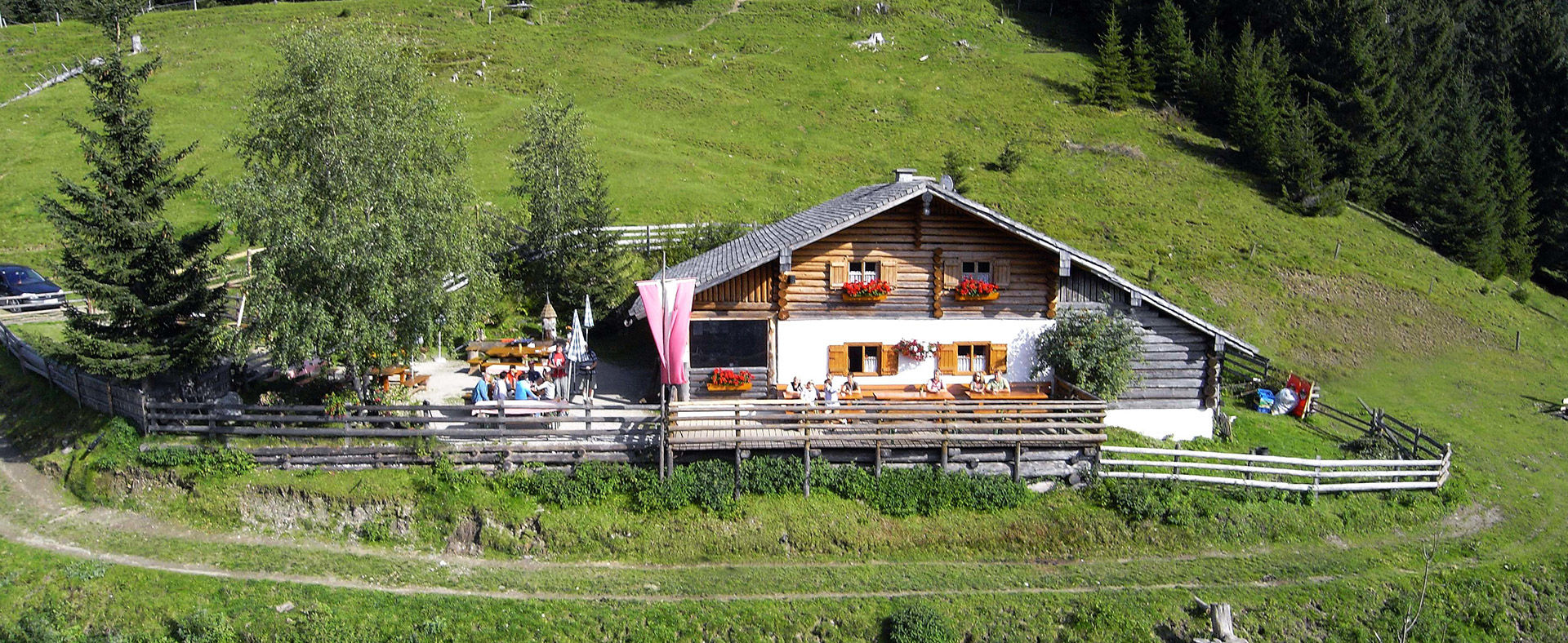
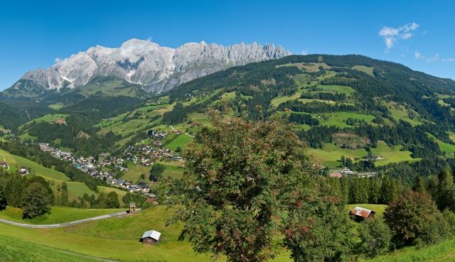
The view of the impressive Hochkönig and the Mandlwände is your constant companion on the hike. Fresh mountain air, towering rocks, idyllic hill farms, lush meadows, and legendary views of the alpine world – this is a balm for the soul. The network of hiking paths is well signposted and designated with the Austrian Hiking Seal of Quality.
- Teškoća
-
srednje
- Vrednovanje
-
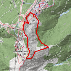
- Wegverlauf
-
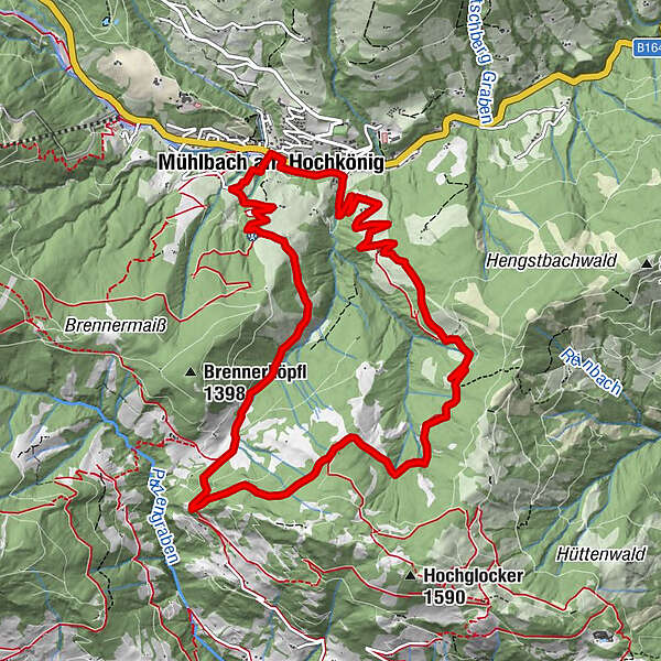
Mühlbach am Hochkönig0,1 kmPaussbauer2,8 kmPronebenalm4,1 kmHubertuskapelle7,6 kmKreisten7,6 kmNasen8,5 kmKapelle10,1 kmMühlbach am Hochkönig11,8 kmPfarrkirche zum hl. Sebastian12,0 kmHöring12,0 kmAnderlwirt12,0 kmMesnerhaus, Café, Bar & Restaurant12,0 km
- Beste Jahreszeit
-
sijveljožutrasvilipsrpkolrujlisstupro
- Höchster Punkt
- 1.406 m
- Zielpunkt
-
Tourist Office Mühlbach
- Höhenprofil
-


- Autor
-
Die Tour Idyllic hike from Mühlbach to the Pronebenalm wird von outdooractive.com bereitgestellt.
GPS Downloads


Opće informacije
Einkehrmöglichkeit
Kulturell/Historisch
Aussichtsreich
Weitere Touren in den Regionen