
© Zell am See-Kaprun Tourismus GmbH - Dominik Wartbichler

© Zell am See-Kaprun Tourismus GmbH - Dominik Wartbichler

© Zell am See-Kaprun Tourismus GmbH - Dominik Wartbichler

© Zell am See-Kaprun Tourismus GmbH - Dominik Wartbichler

© Zell am See-Kaprun Tourismus GmbH - Dominik Wartbichler

© Zell am See-Kaprun Tourismus GmbH - Dominik Wartbichler

© Zell am See-Kaprun Tourismus GmbH - Dominik Wartbichler

© Zell am See-Kaprun Tourismus GmbH - Dominik Wartbichler

© Zell am See-Kaprun Tourismus GmbH - Dominik Wartbichler

- Kratak opis
-
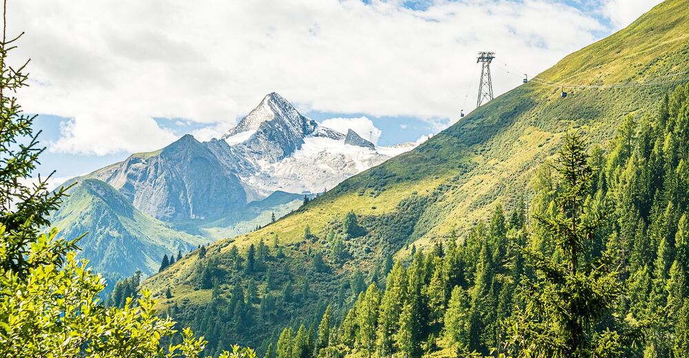
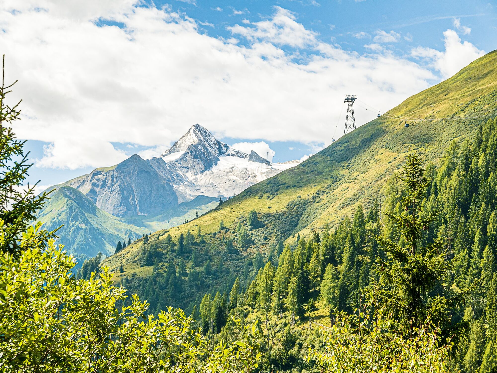
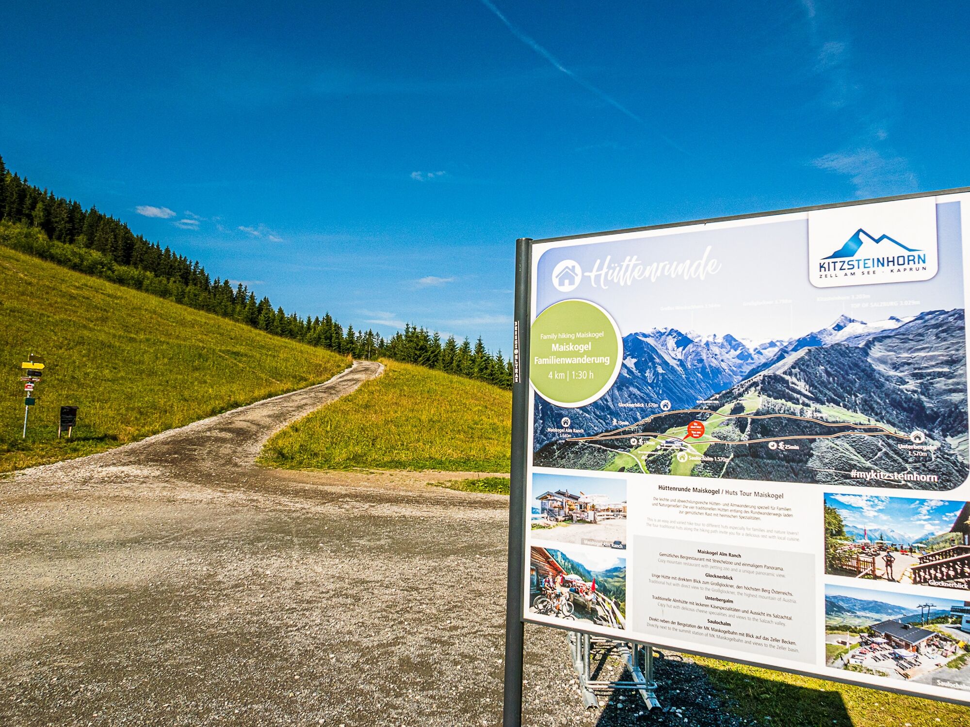
This hike across alpine pastures to mountain huts is easy, filled with variety and very suitable for families as well as nature lovers.
- Teškoća
-
lagano
- Vrednovanje
-
- Wegverlauf
-
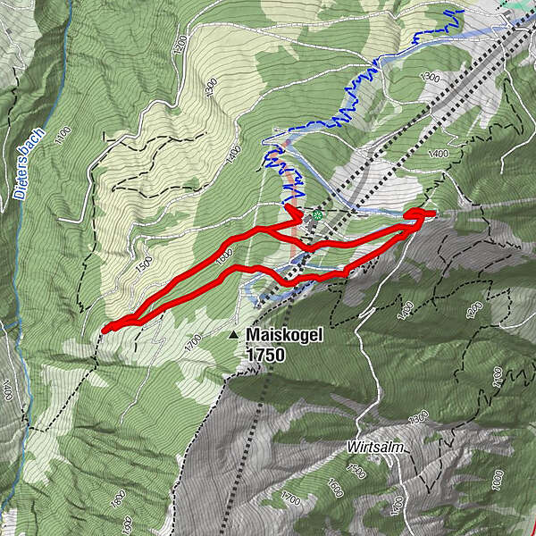
Unterbergalm1,3 kmGlocknerblick2,6 kmMaiskogelalm3,3 kmSaulochalm4,7 km
- Beste Jahreszeit
-
sijveljožutrasvilipsrpkolrujlisstupro
- Höchster Punkt
- 1.675 m
- Zielpunkt
-
Maiskogel mountain terminal
- Höhenprofil
-


-

-
AutorDie Tour Maiskogel hut tour wird von outdooractive.com bereitgestellt.
GPS Downloads


Opće informacije
Einkehrmöglichkeit
Aussichtsreich
Weitere Touren in den Regionen


