

© Zell am See-Kaprun Tourismus GmbH - Daniela Nothdurfter


- Kratak opis
-
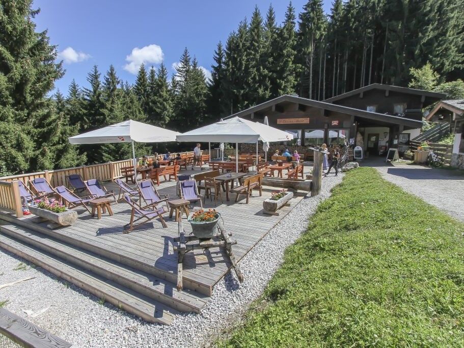
Beautiful round hike with refreshment stop at the Enzianhütte.
- Teškoća
-
srednje
- Vrednovanje
-
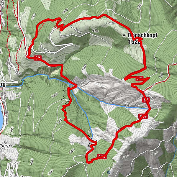
- Wegverlauf
-
Erlhofplatte2,7 kmEnzianhütte6,6 km
- Beste Jahreszeit
-
sijveljožutrasvilipsrpkolrujlisstupro
- Höchster Punkt
- 1.518 m
- Zielpunkt
-
Startpunkt
- Höhenprofil
-

-

-
AutorDie Tour Thumersbach circular route wird von outdooractive.com bereitgestellt.
GPS Downloads


Opće informacije
Einkehrmöglichkeit
Flora
Fauna
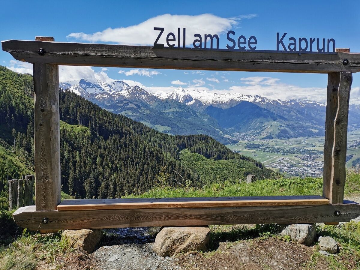
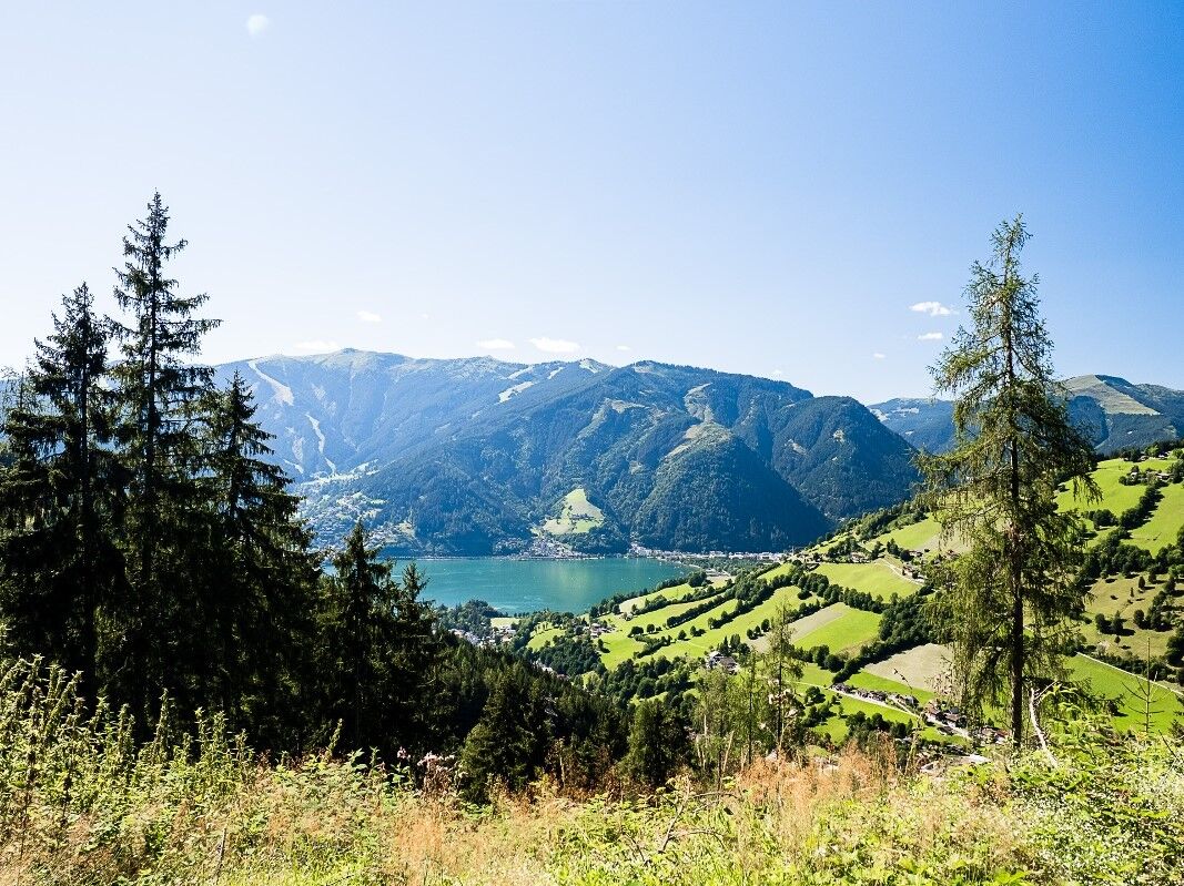
Aussichtsreich
Weitere Touren in den Regionen


