
- Kratak opis
-
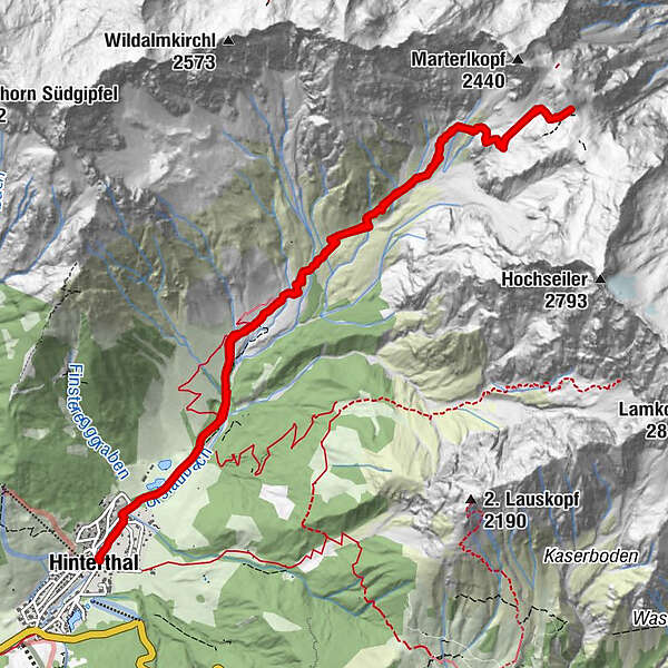
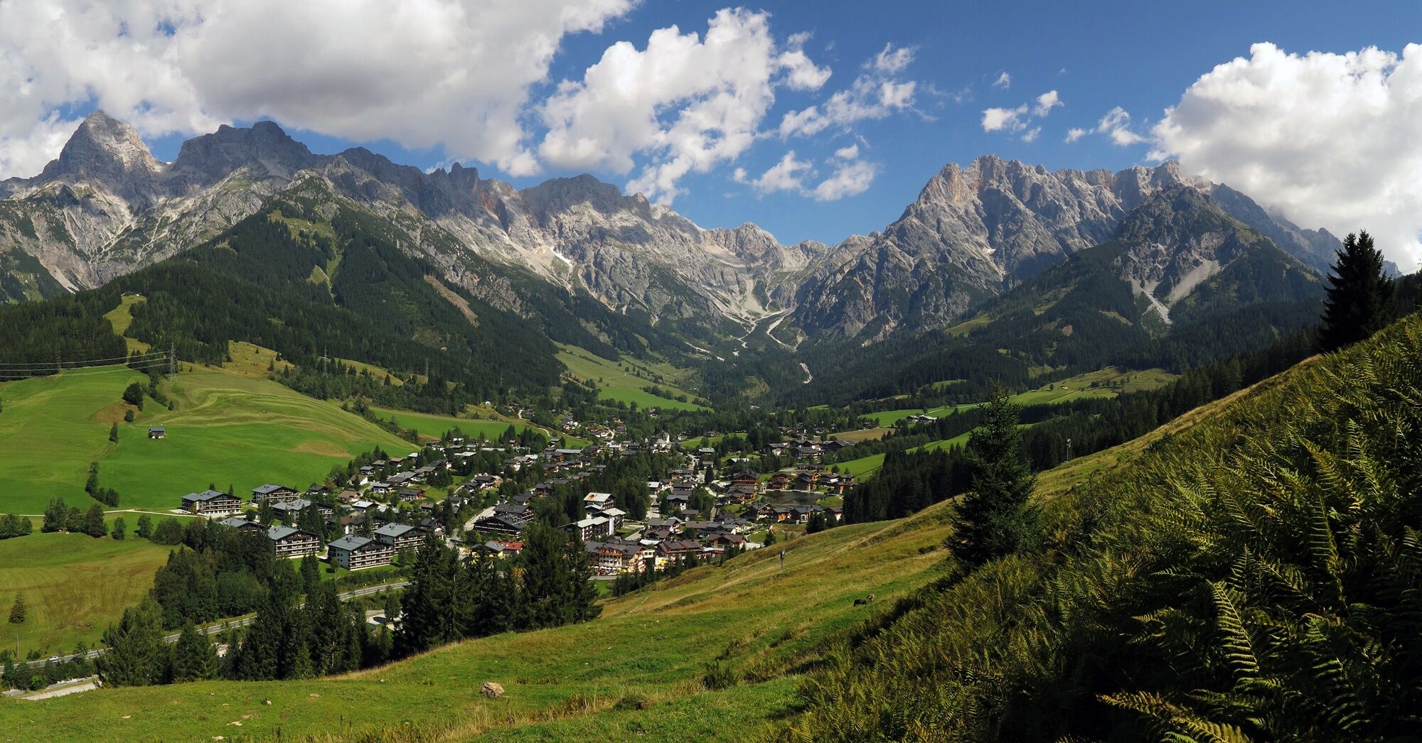
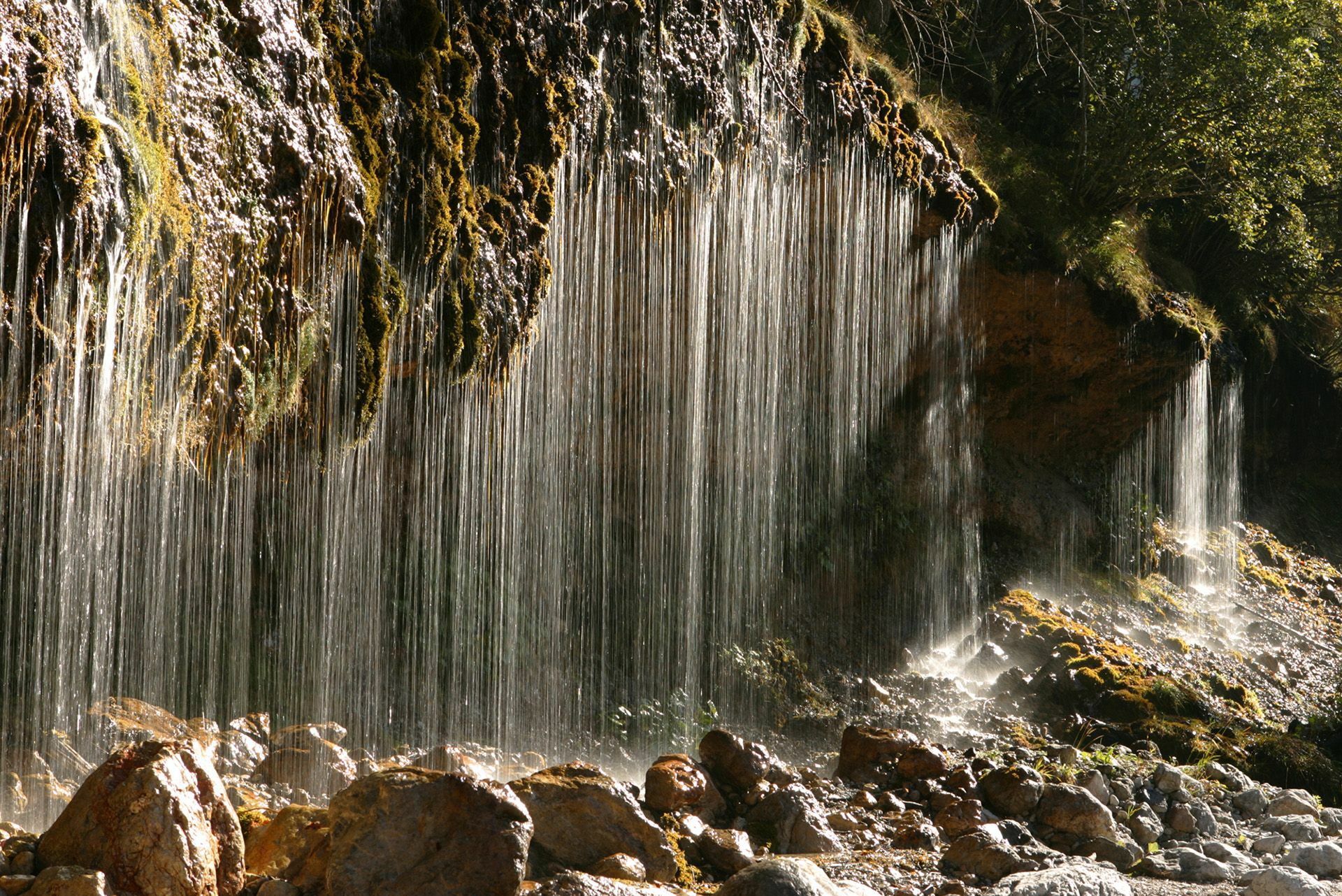
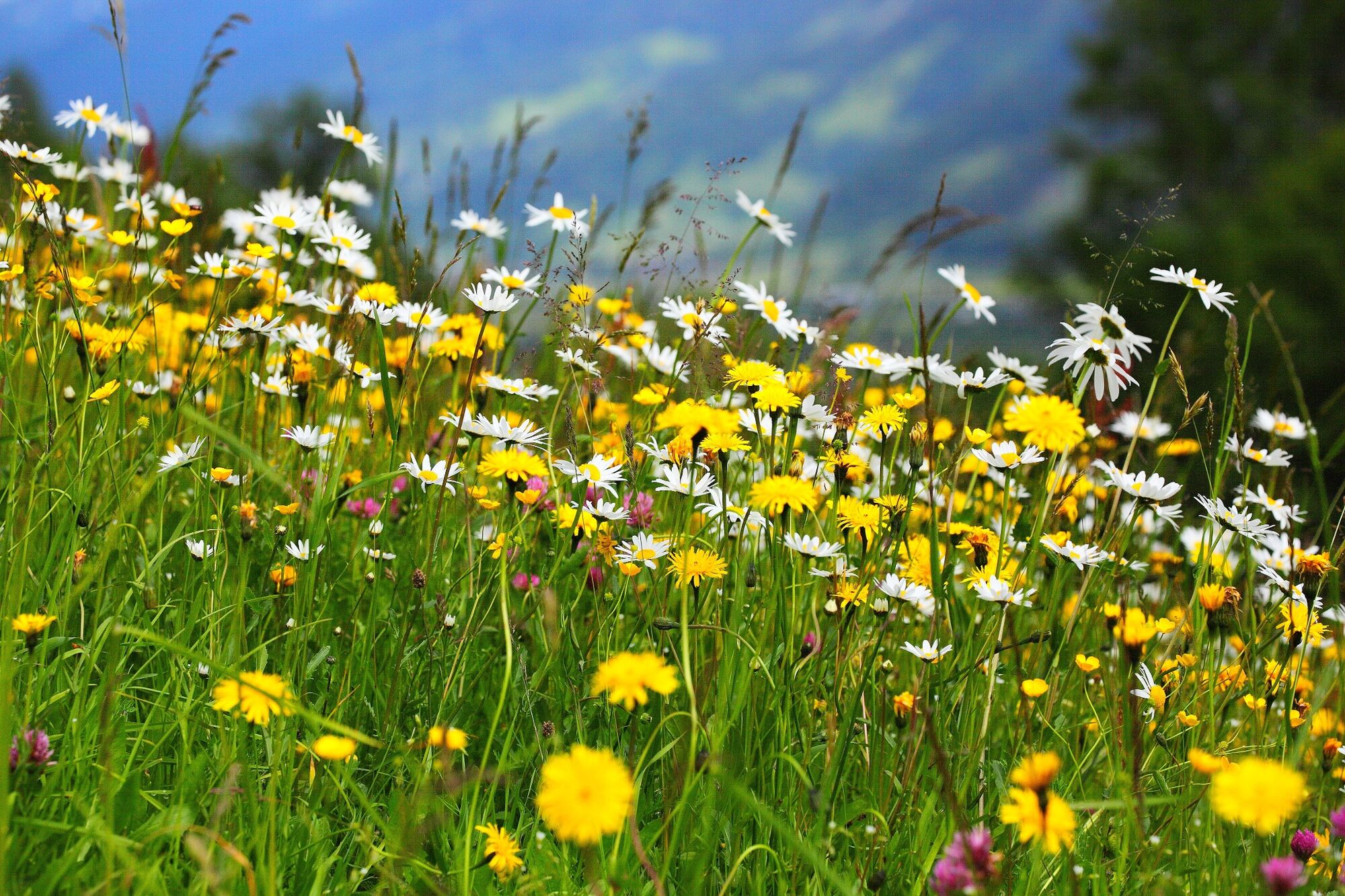
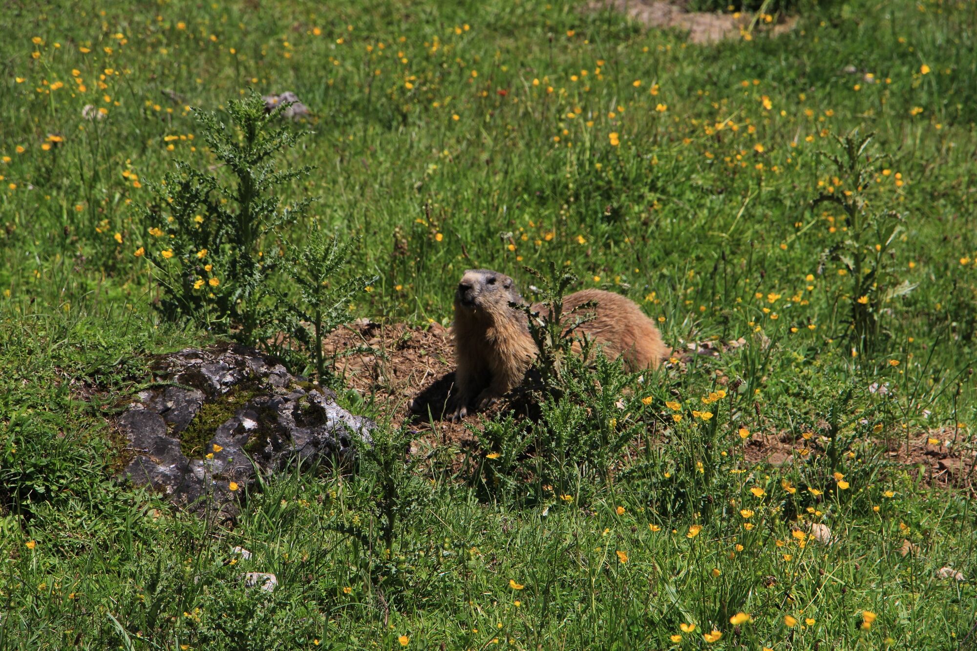
Mountain tour in the beautiful valley end of Hinterthal, the natural monument Triefen is on the way. A wonderful view awaits us from the Hohe Torscharte.
- Teškoća
-
srednje
- Vrednovanje
-
- Wegverlauf
-
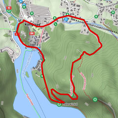
HinterthalKath. Pfarrkirche hl. Dreifaltigkeit0,1 kmTriefen1,7 kmEnzenalm2,0 kmEnzenalm10,8 kmTriefen11,3 kmKath. Pfarrkirche hl. Dreifaltigkeit12,9 kmHinterthal12,9 km
- Beste Jahreszeit
-
sijveljožutrasvilipsrpkolrujlisstupro
- Höchster Punkt
- 2.229 m
- Zielpunkt
-
Hinterthal church
- Höhenprofil
-

- Autor
-
Die Tour Summit tour "From Hinterthal to Hohe Torscharte" wird von outdooractive.com bereitgestellt.
GPS Downloads


Opće informacije
Aussichtsreich
Weitere Touren in den Regionen
-
Hochkönig
2016
-
Dienten am Hochkönig
536