

© Piesendorf Niedernsill - Tourismusverband Piesendorf Niedernsill

© Piesendorf Niedernsill - Tourismusverband Piesendorf Niedernsill
- Kratak opis
-
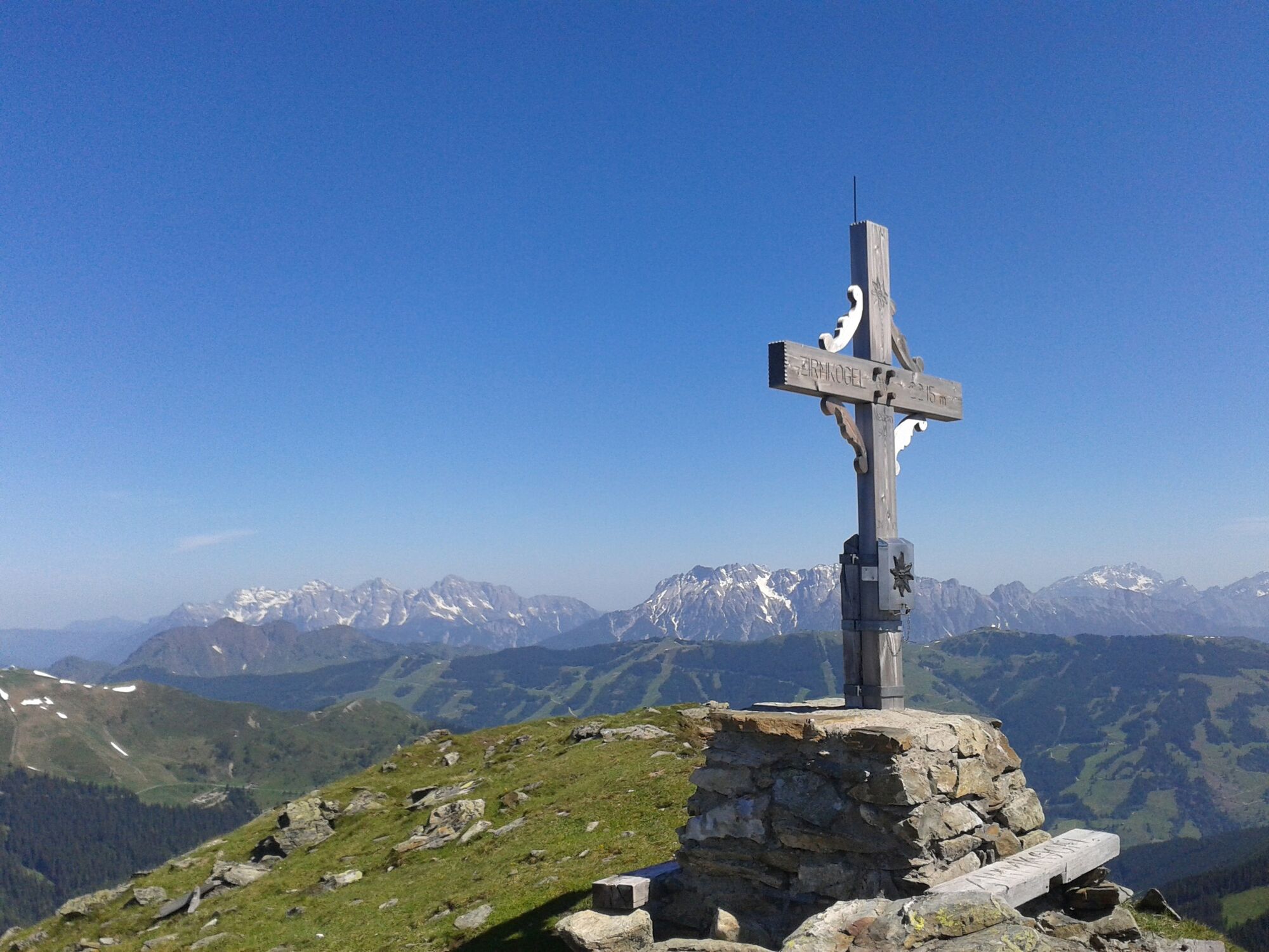
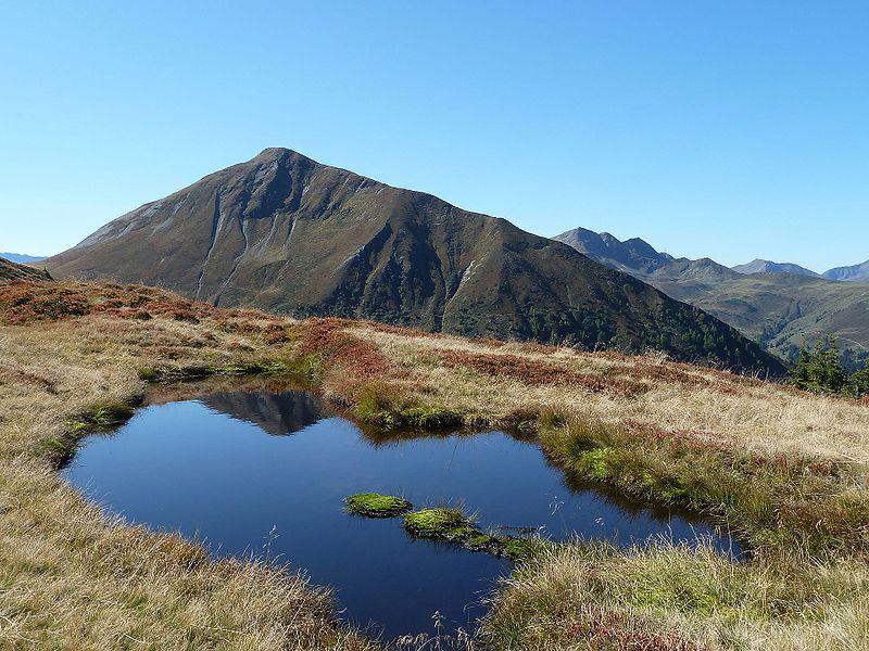
Let's go up to one of the typical grassy mountains of Pinzgau! A magnificent panoramic view from the Hohe Tauern over the Kitzbühel Alps awaits you.
- Teškoća
-
srednje
- Vrednovanje
-
- Wegverlauf
-
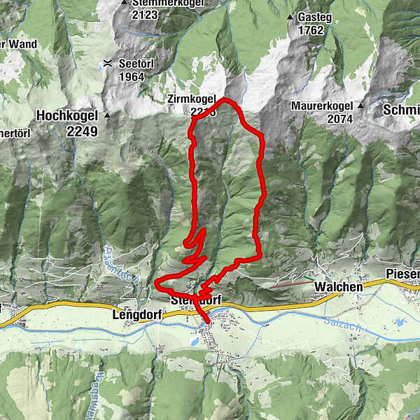
NiedernsillSteindorf0,5 kmGaisbichl2,4 kmHochsonnberg (2.150 m)9,1 kmZirmkogel (2.215 m)10,0 kmKlammscharte (1.993 m)10,5 kmEmaten17,0 kmSteindorf17,9 kmNiedernsill18,4 km
- Beste Jahreszeit
-
sijveljožutrasvilipsrpkolrujlisstupro
- Höchster Punkt
- 2.184 m
- Zielpunkt
-
Hiking info point Niedernsill
- Höhenprofil
-

-

-
AutorDie Tour Niedernsill: Zirmkogel wird von outdooractive.com bereitgestellt.
GPS Downloads


Opće informacije
Flora
Fauna
Aussichtsreich
Weitere Touren in den Regionen


