

© Kitzsteinhorn


© Kitzsteinhorn

© Zell am See-Kaprun Tourismus GmbH - Erich Schwarz

© Zell am See-Kaprun Tourismus GmbH - Erich Schwarz

© Zell am See-Kaprun Tourismus GmbH - Erich Schwarz

- Kratak opis
-
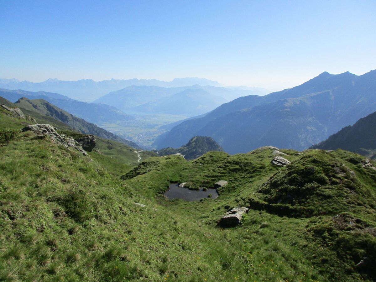
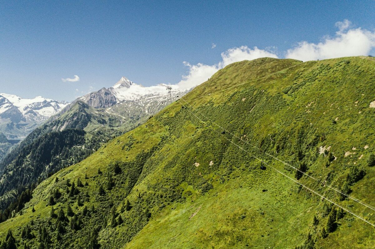
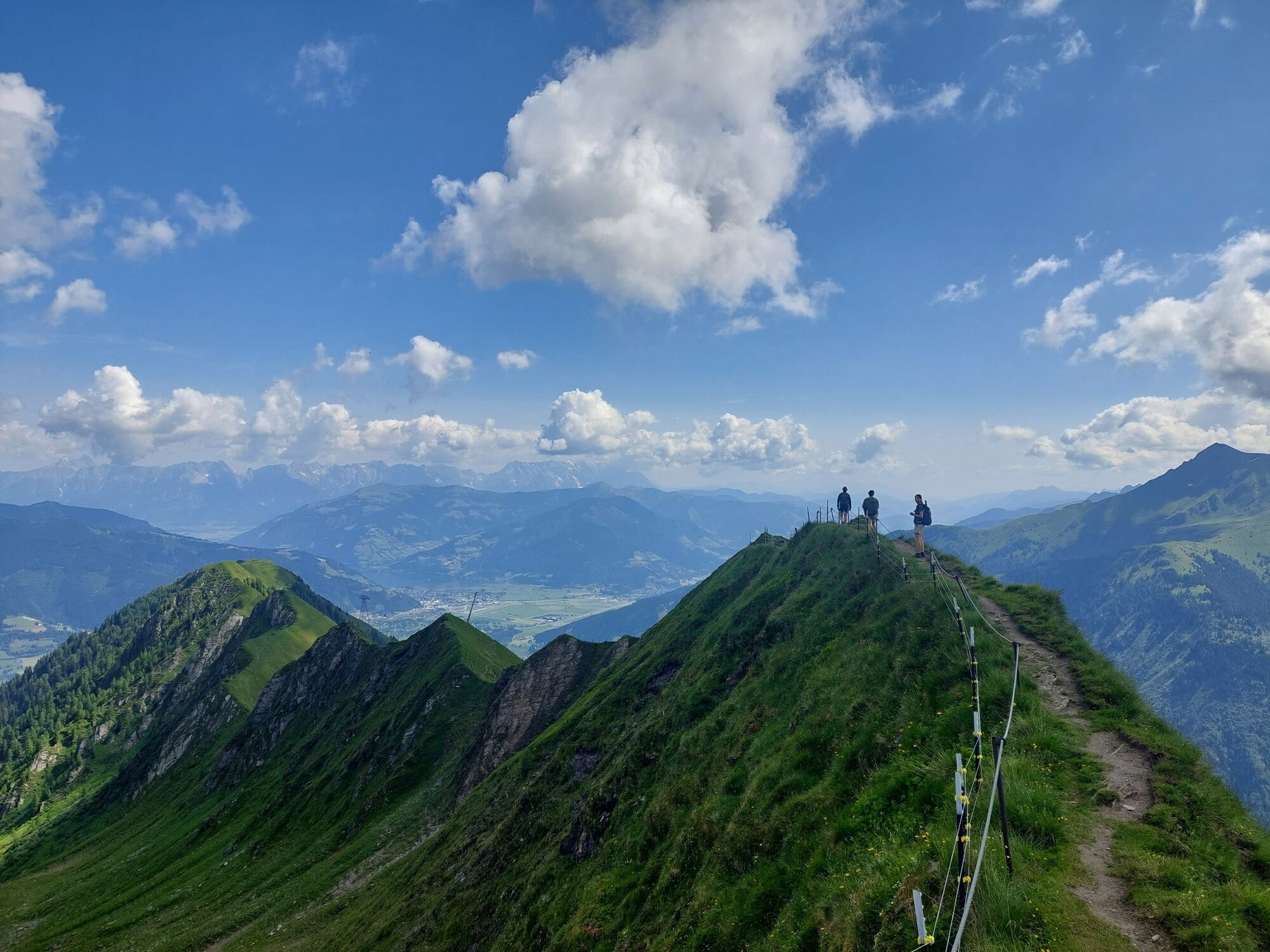
High alpine crossing from the Kitzsteinhorn to the Maiskogel with a variety of alpine flora!
- Teškoća
-
teška
- Vrednovanje
-
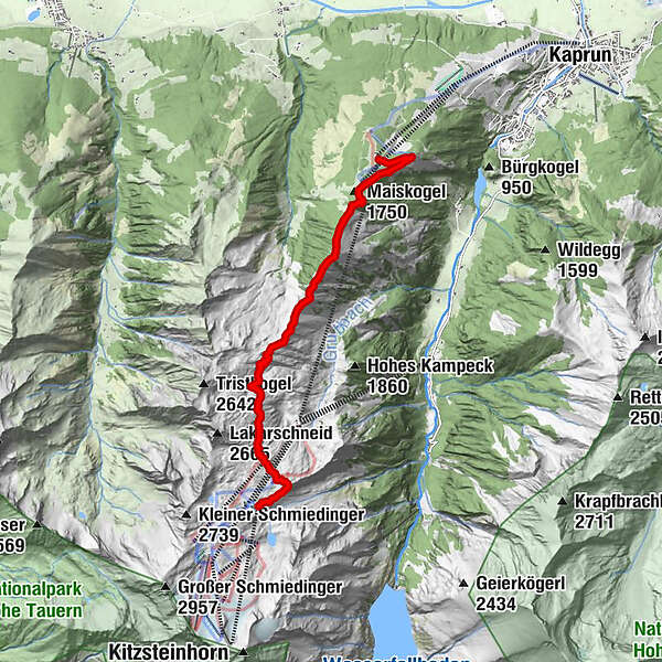
- Wegverlauf
-
Krefelder Hütte0,6 kmDreiwallnerhöhe (1.861 m)6,4 kmMaiskogel (1.750 m)6,8 kmGlocknerblick7,3 km
- Beste Jahreszeit
-
sijveljožutrasvilipsrpkolrujlisstupro
- Höchster Punkt
- 2.410 m
- Zielpunkt
-
Maiskogel
- Höhenprofil
-


-

-
AutorDie Tour Alexander Enzinger Trail wird von outdooractive.com bereitgestellt.
GPS Downloads


Opće informacije
Flora
Fauna
Aussichtsreich
Weitere Touren in den Regionen


