


- Kratak opis
-
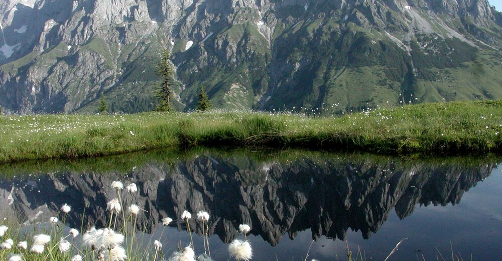
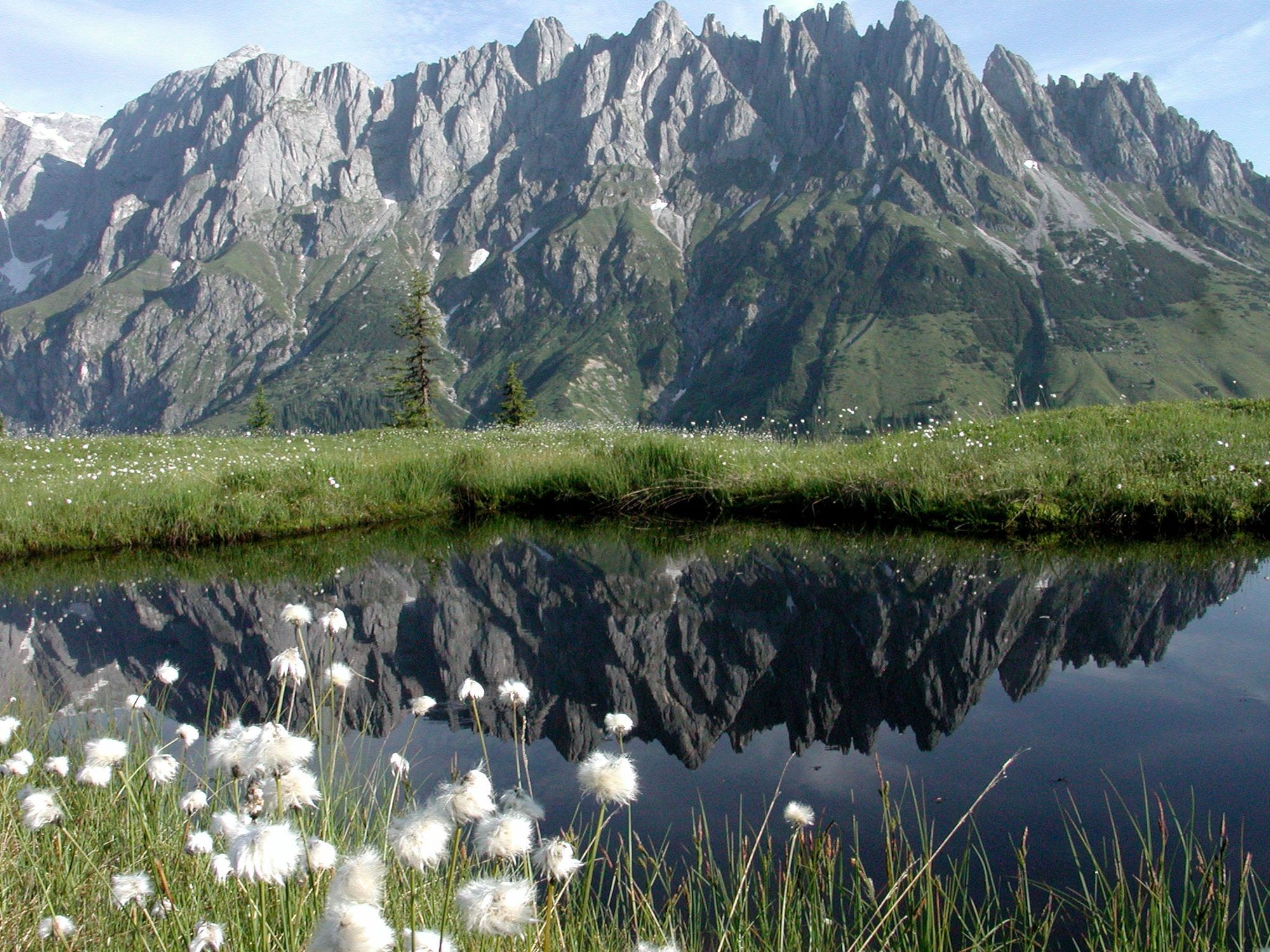
A moderate hike to one of the most beautiful places in Mühlbach am Hochkönig. Everyone will be enchanted by the panorama at the Hochkeil.
- Teškoća
-
srednje
- Vrednovanje
-
- Wegverlauf
-
Mühlbach am Hochkönig0,2 kmMitterbergsattel (1.515 m)12,6 kmSennerei Schweizerhütte13,1 kmArthurhaus13,1 km
- Beste Jahreszeit
-
sijveljožutrasvilipsrpkolrujlisstupro
- Höchster Punkt
- 1.519 m
- Zielpunkt
-
Hochkeil Summit
- Höhenprofil
-


- Autor
-
Die Tour Via the Erzweg to the Hochkeil wird von outdooractive.com bereitgestellt.
GPS Downloads


Opće informacije
Einkehrmöglichkeit
Aussichtsreich
Weitere Touren in den Regionen


