

© Tourismusverband Piesendorf Niedernsill - Ferienregion Nationalpark Hohe Tauern - Tourismusverband Piesendorf Niedernsill
- Kratak opis
-
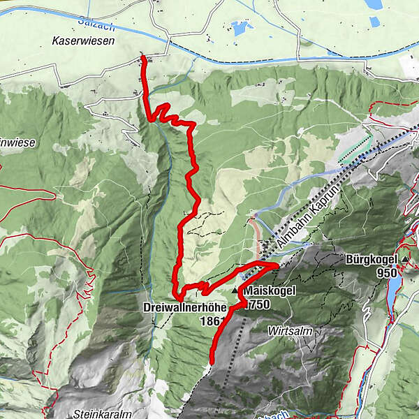
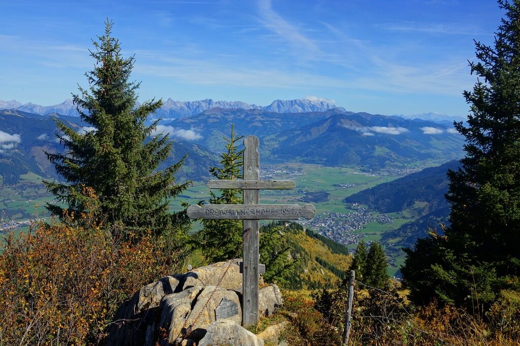
Pure viewing pleasure of the Zell basin and Kitzsteinhorn is offered by the hike of a medium level of difficulty over the Dreiwallnerhöhe to the Schoppachhöhe.
- Teškoća
-
srednje
- Vrednovanje
-
- Wegverlauf
-
Hummersdorf0,0 kmUnterbergalm4,6 kmGlocknerblick6,1 kmMaiskogel (1.750 m)6,7 kmDreiwallnerhöhe (1.861 m)7,2 km
- Beste Jahreszeit
-
sijveljožutrasvilipsrpkolrujlisstupro
- Höchster Punkt
- 2.041 m
- Zielpunkt
-
Schoppachhöhe
- Höhenprofil
-

-

-
AutorDie Tour Piesendorf: Schoppachhöhe über Drei Wallner Höhe wird von outdooractive.com bereitgestellt.
GPS Downloads


Opće informacije
Einkehrmöglichkeit
Flora
Fauna
Aussichtsreich
Weitere Touren in den Regionen


