- Kratak opis
-
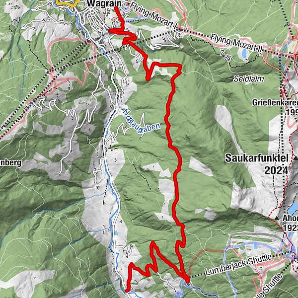
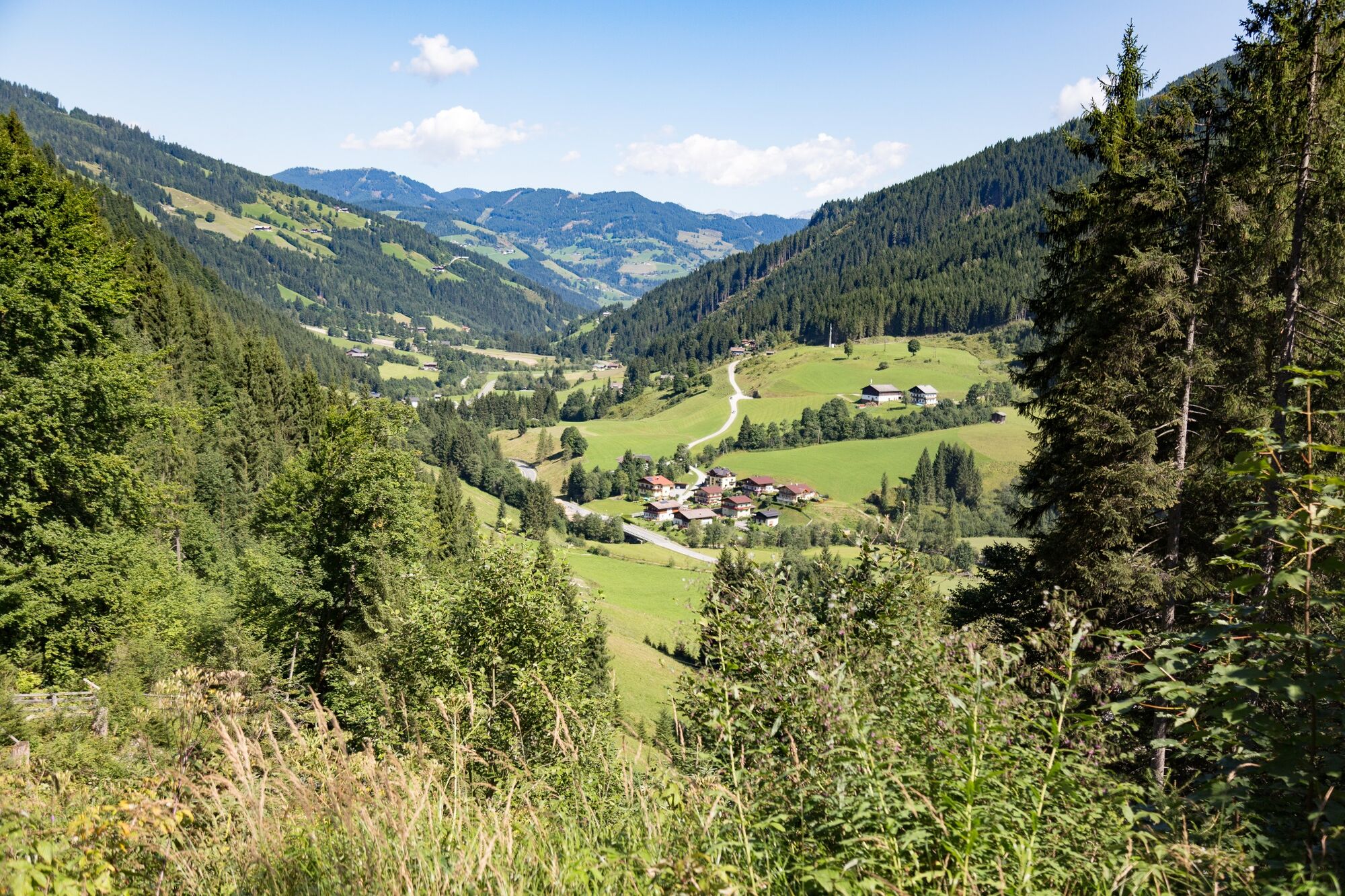
Comfortable hike from Kleinarl to Wagrain and back with the hiking bus.
- Teškoća
-
srednje
- Vrednovanje
-
- Wegverlauf
-
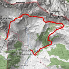
Fürbach9,1 kmWagrain10,4 km
- Beste Jahreszeit
-
sijveljožutrasvilipsrpkolrujlisstupro
- Höchster Punkt
- 1.426 m
- Zielpunkt
-
Wagrain Kirchboden
- Höhenprofil
-

-

-
AutorDie Tour Via the Baierwaldstrasse to Wagrain wird von outdooractive.com bereitgestellt.
GPS Downloads


Opće informacije
Einkehrmöglichkeit
Weitere Touren in den Regionen