

© Tourismusverband Radstadt/Lorenz Masser - Lorenz Masser
© Tourismusverband Radstadt/Lorenz Masser - Lorenz Masser

© Tourismusverband Radstadt/Lorenz Masser - Lorenz Masser


- Kratak opis
-
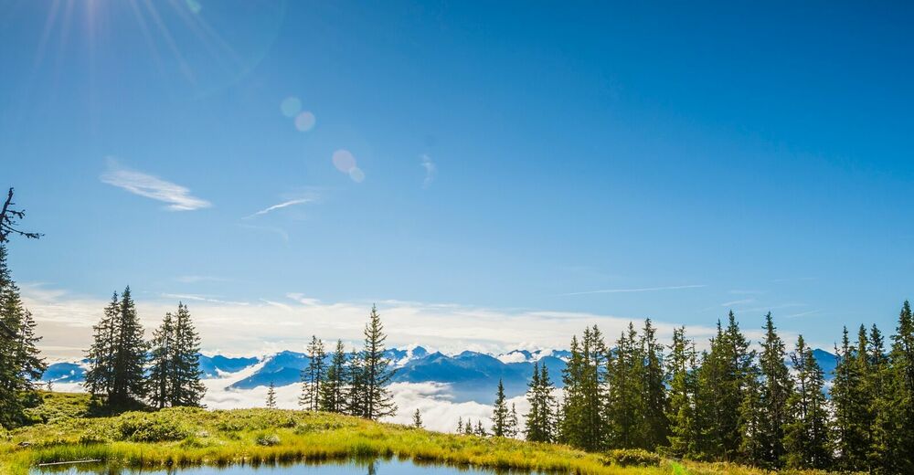
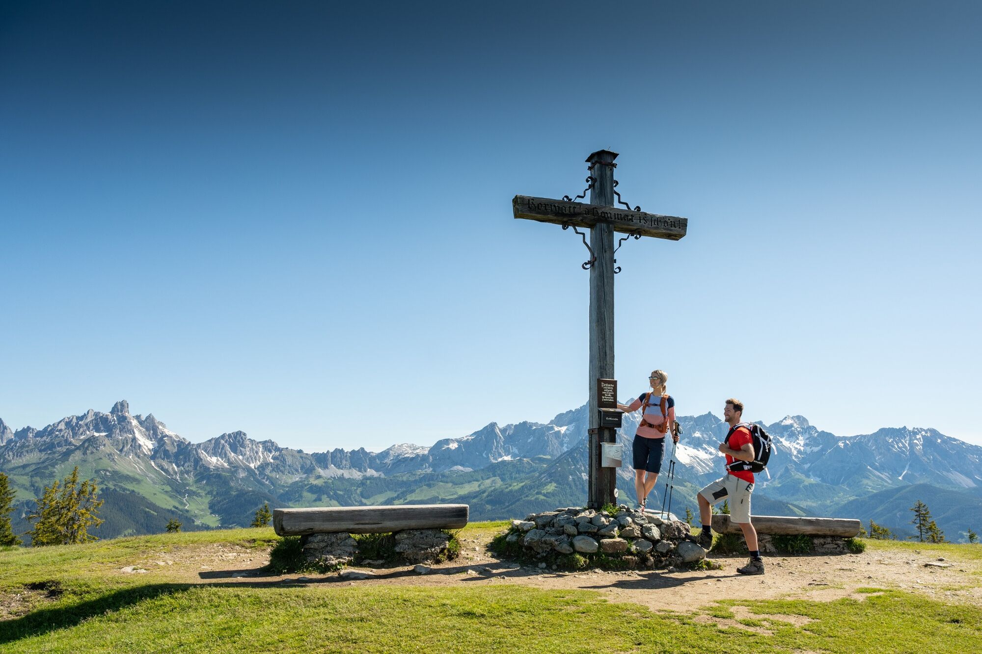
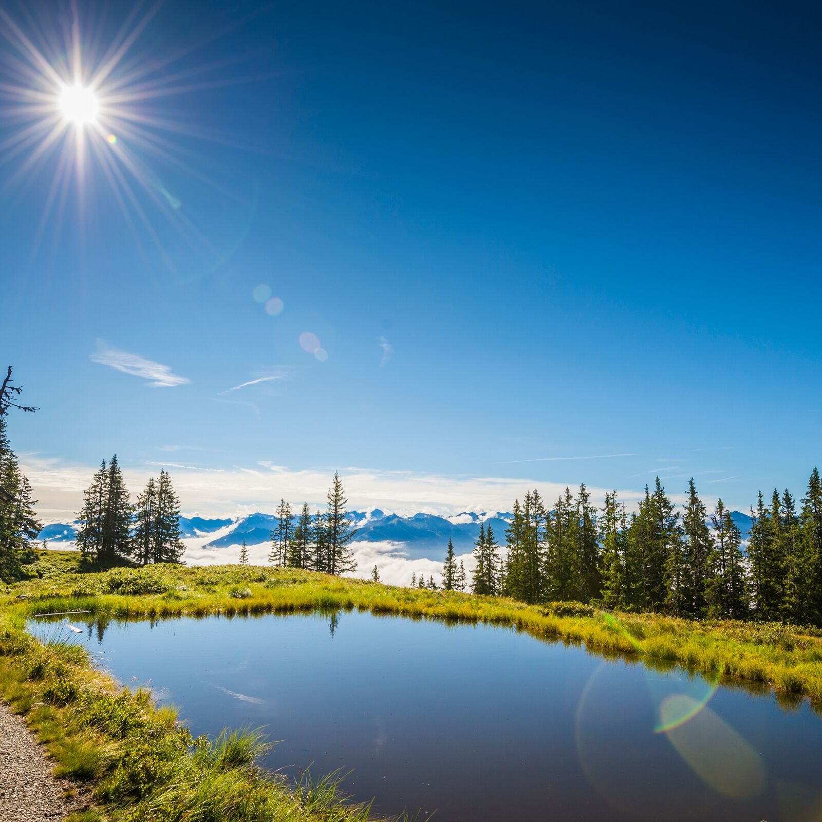
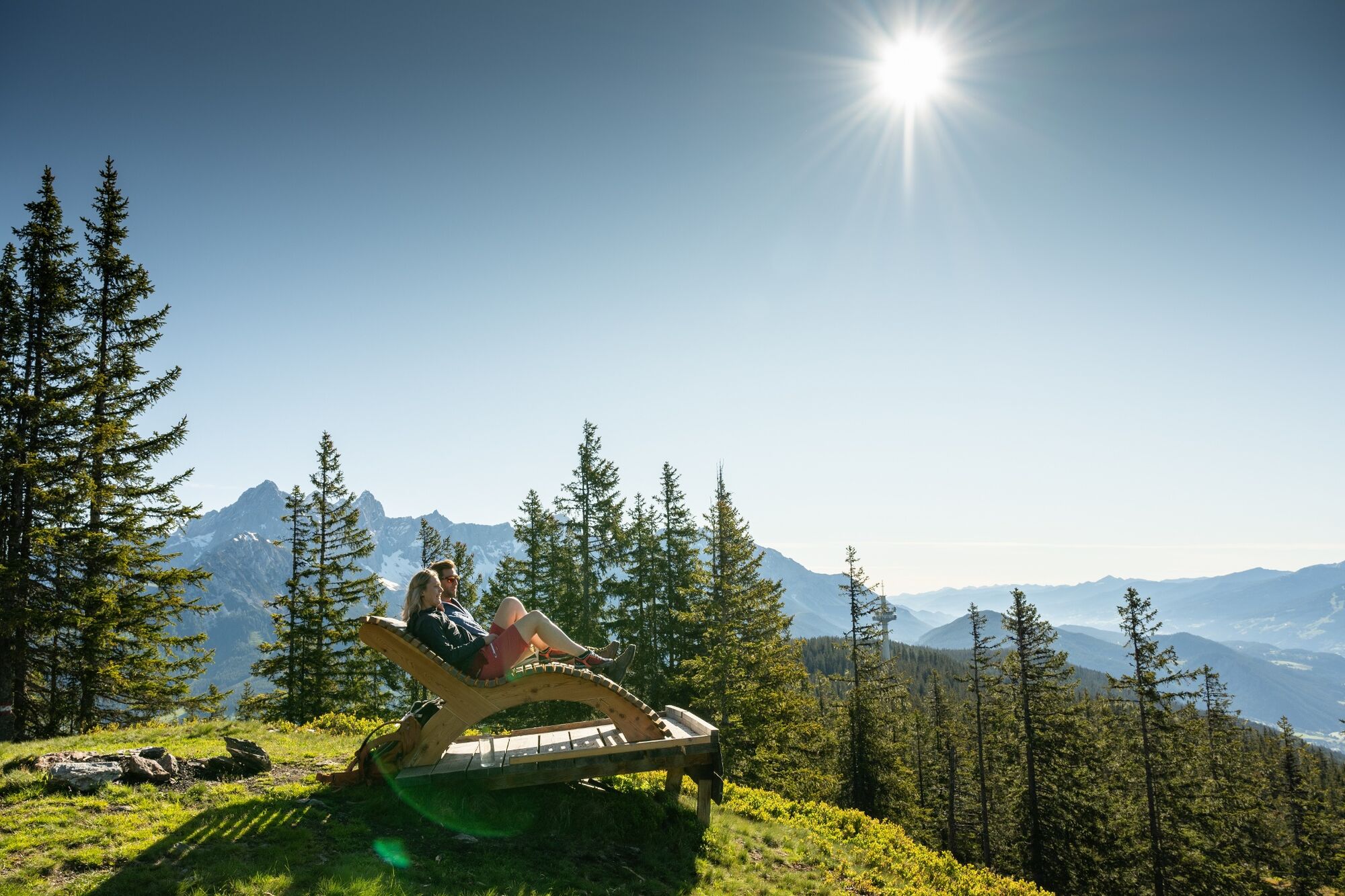
Forest trails and small roads lead you on a circular hike to the 1,768 m high local mountain of Radstadt, the Rossbrand.
- Teškoća
-
srednje
- Vrednovanje
-
- Wegverlauf
-
Radstadt (858 m)Bürgerbergalm2,0 kmQuelle4,2 kmRadstädterhütte5,3 kmRossbrand (1.770 m)5,3 kmStadtpfarrkirche10,8 kmRadstadt (858 m)11,0 km
- Beste Jahreszeit
-
sijveljožutrasvilipsrpkolrujlisstupro
- Höchster Punkt
- 1.755 m
- Zielpunkt
-
Radstadt post office
- Höhenprofil
-

-

-
AutorDie Tour Radstadt - Bürgerbergalm - Rossbrand - Radstadt (461,462) wird von outdooractive.com bereitgestellt.
GPS Downloads


Opće informacije
Einkehrmöglichkeit
Aussichtsreich
Weitere Touren in den Regionen
-
Schladming - Dachstein
2999
-
Salzburger Sportwelt
2192
-
Radstadt
596


