- Kratak opis
-
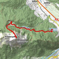
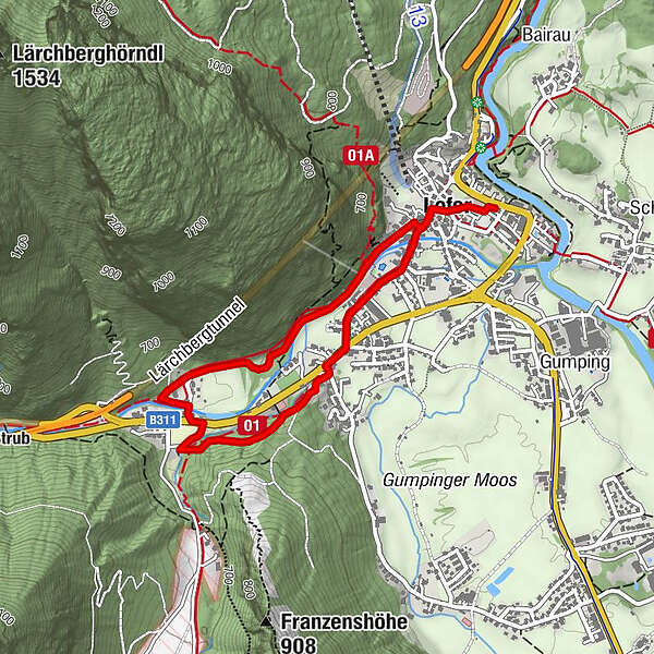
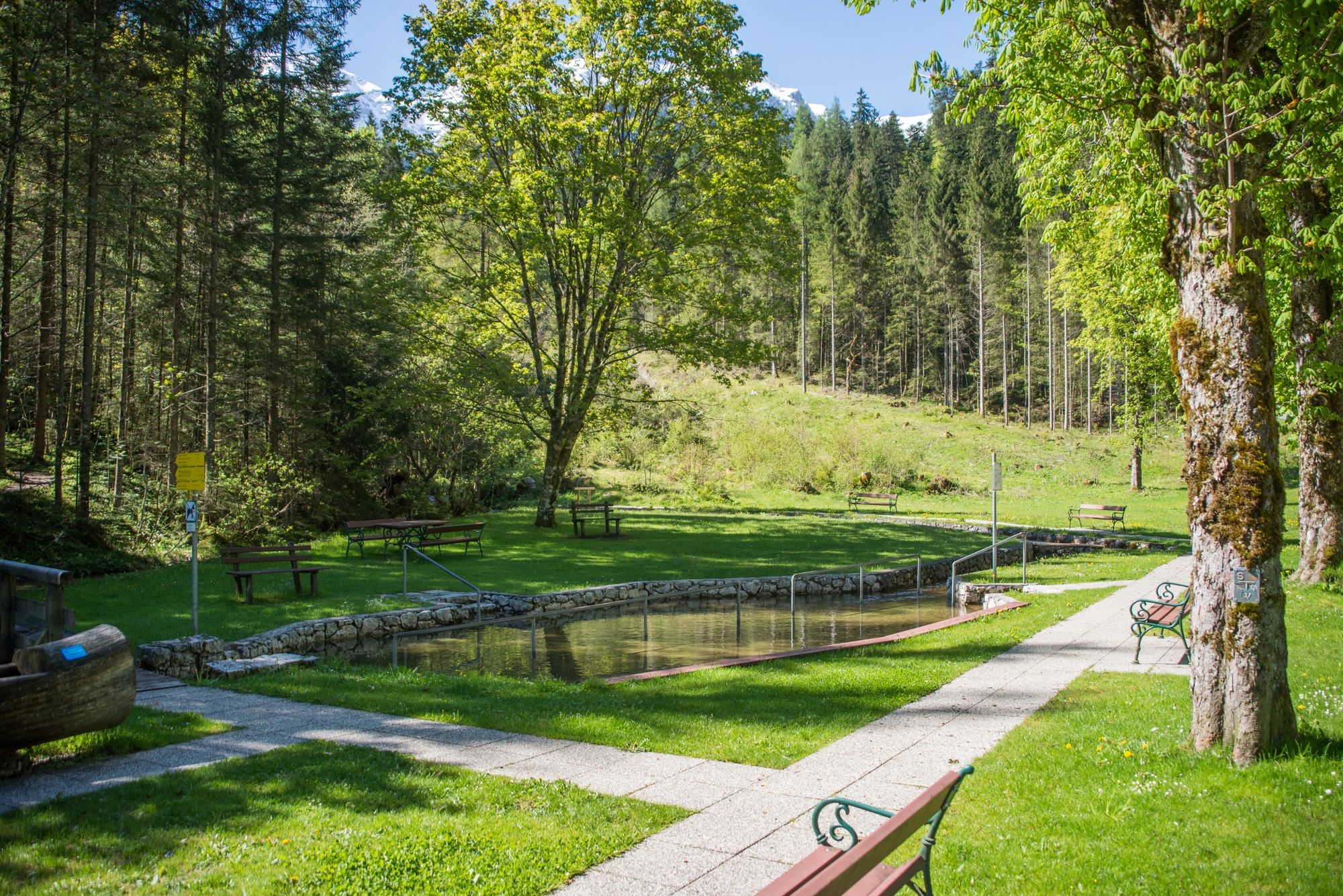
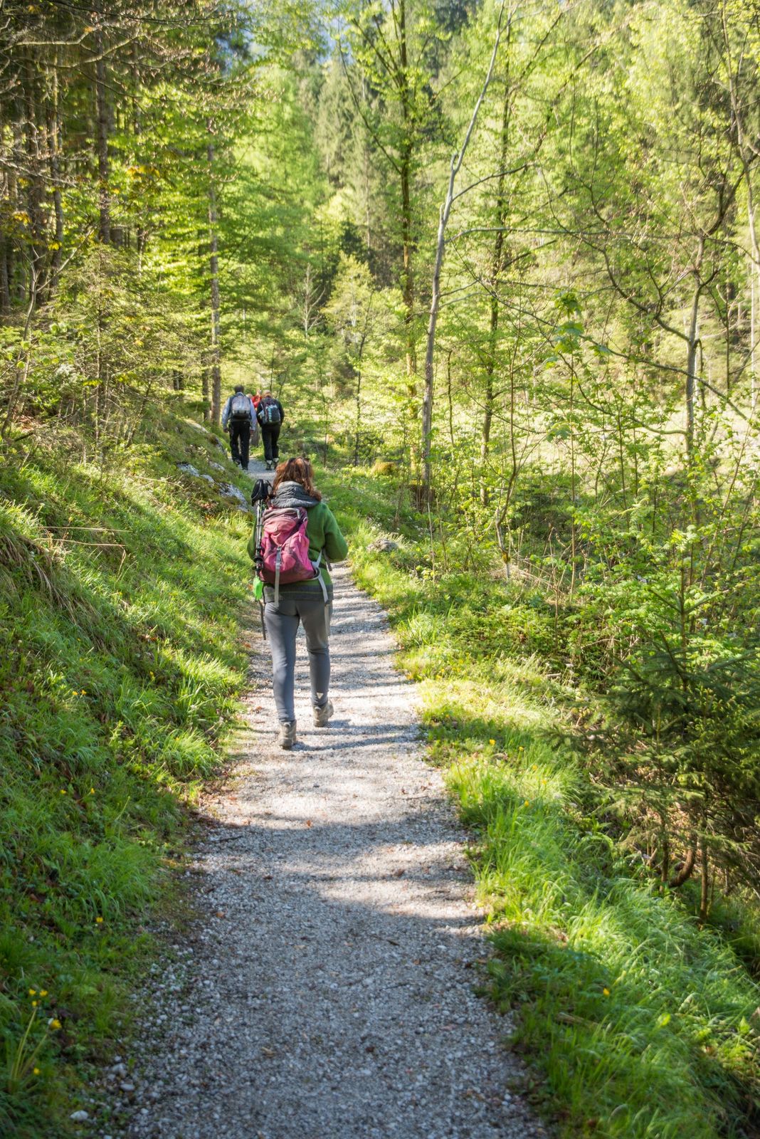
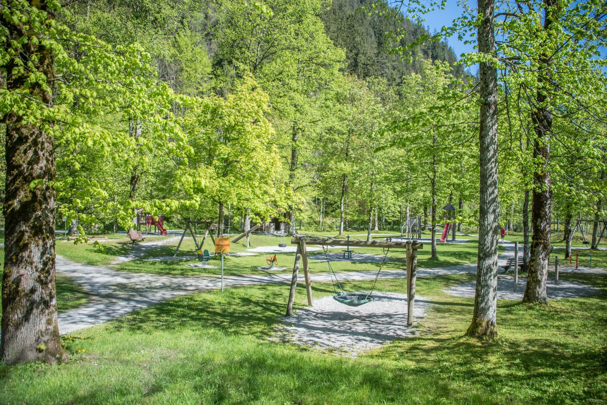
From Lofer we head west to the Kneipp facility and return to Lofer via the playground.
- Teškoća
-
lagano
- Vrednovanje
-
- Wegverlauf
-
Pfarrkirche Hll Maria und Leonhard0,1 kmLofer0,2 kmPfarrkirche Hll Maria und Leonhard3,6 km
- Beste Jahreszeit
-
sijveljožutrasvilipsrpkolrujlisstupro
- Höchster Punkt
- 665 m
- Zielpunkt
-
Lofer tourist information office
- Höhenprofil
-

-

-
AutorDie Tour Lofer - Kneipp facility - Playground - Lofer wird von outdooractive.com bereitgestellt.
GPS Downloads


Opće informacije
Einkehrmöglichkeit
Weitere Touren in den Regionen