

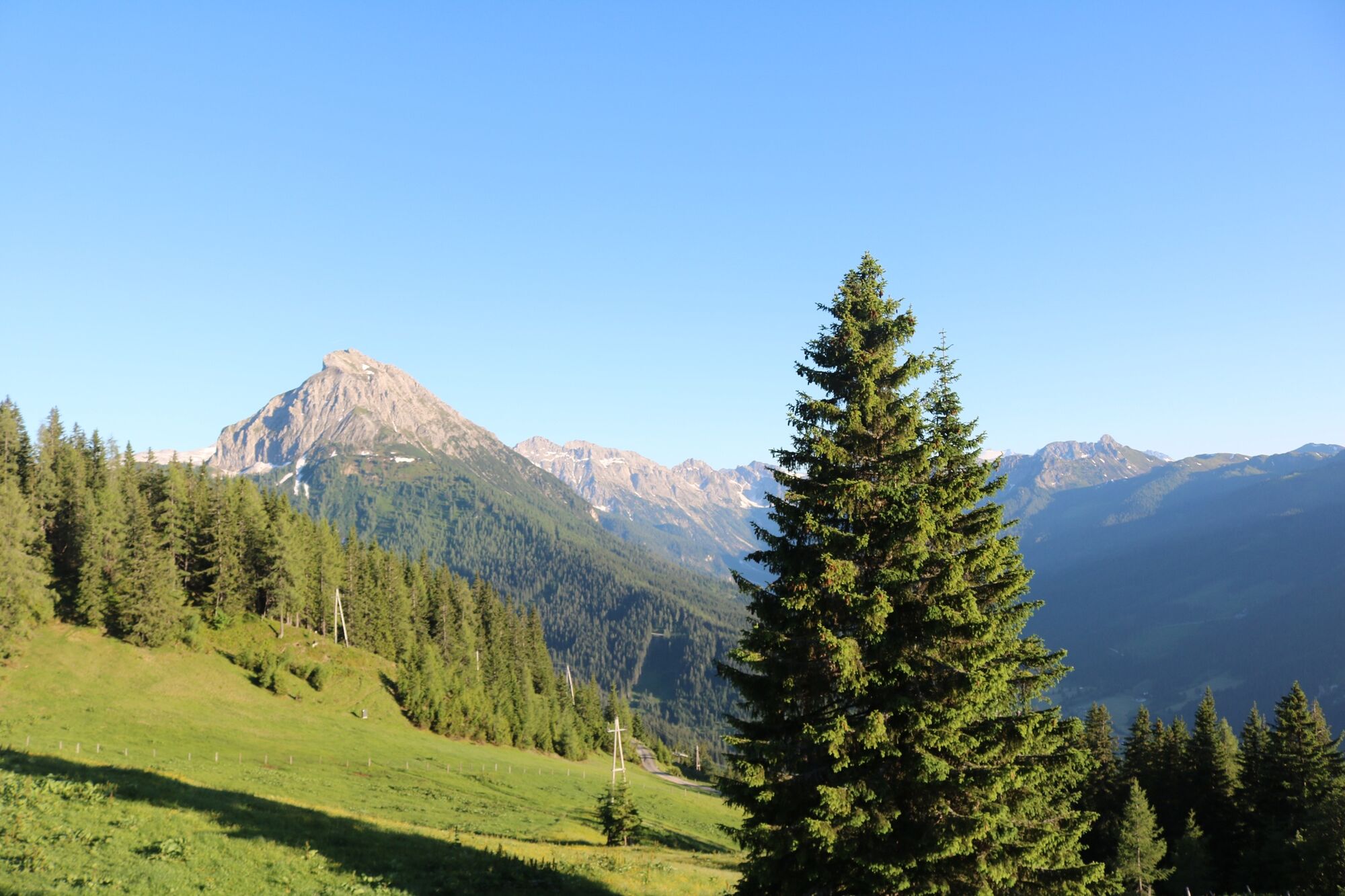
© Wagrain-Kleinarl Tourismus - Belina Huttegger
- Kratak opis
-
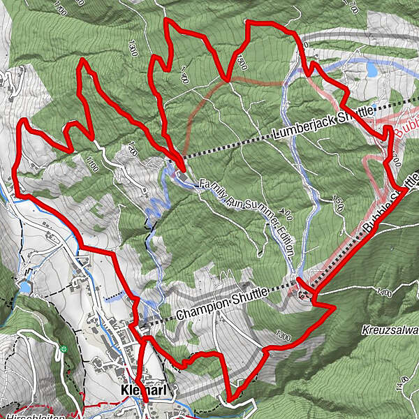
Circular hike from the center of Kleinarl to the Schüttalm.
- Teškoća
-
srednje
- Vrednovanje
-
- Wegverlauf
-
Kleinarl0,0 kmSchüttalm8,5 kmKleinarl12,4 km
- Beste Jahreszeit
-
sijveljožutrasvilipsrpkolrujlisstupro
- Höchster Punkt
- 1.725 m
- Zielpunkt
-
Kleinarl center
- Höhenprofil
-

-

-
AutorDie Tour Schüttalmweg wird von outdooractive.com bereitgestellt.
GPS Downloads


Opće informacije
Einkehrmöglichkeit
Aussichtsreich
Weitere Touren in den Regionen


