


- Kratak opis
-
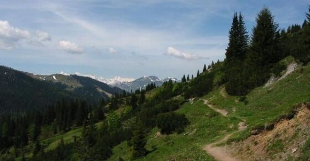
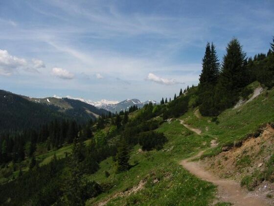
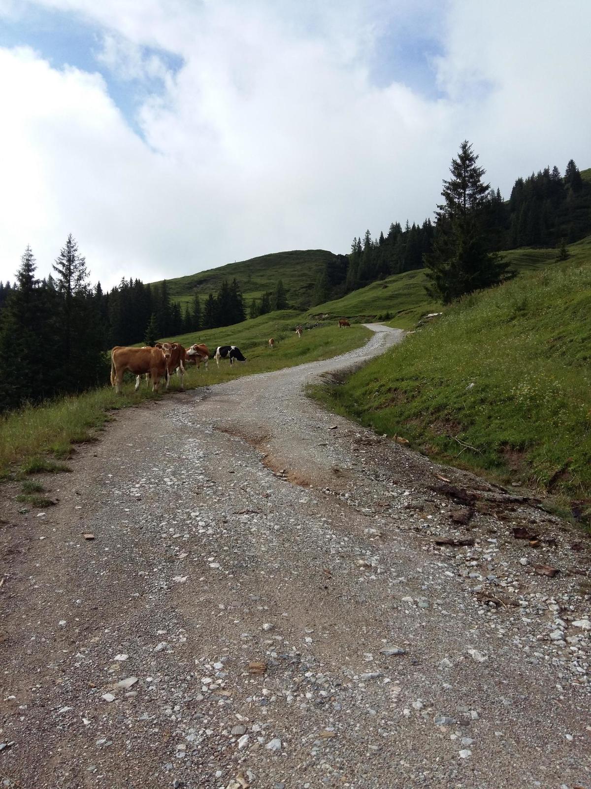
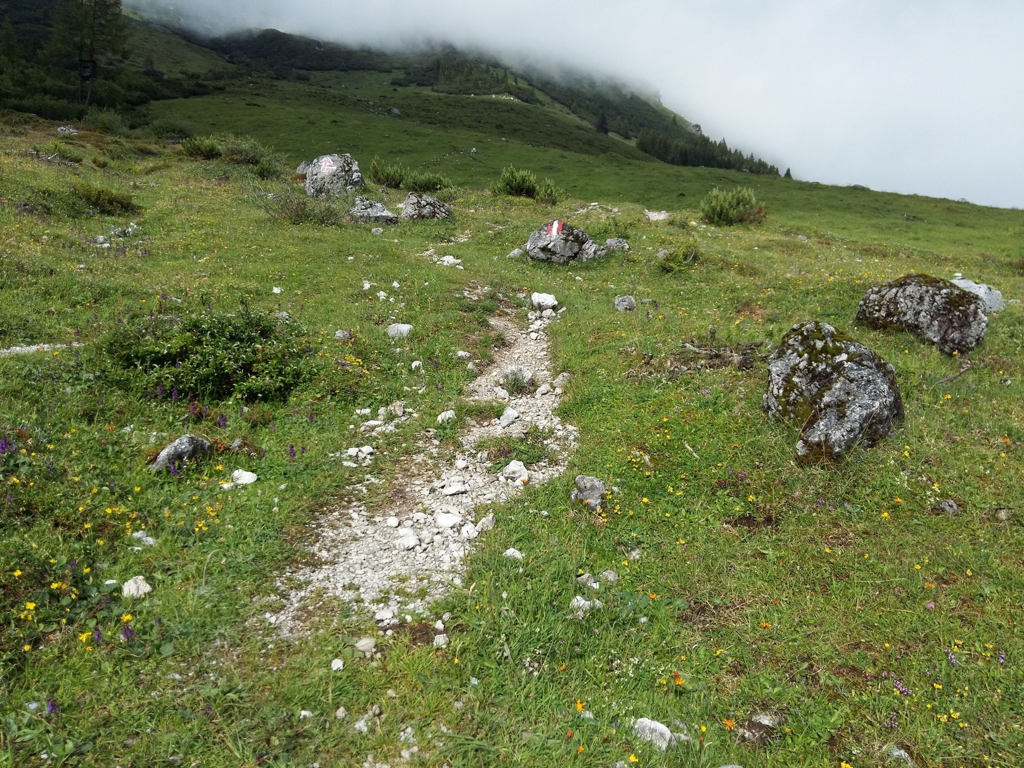
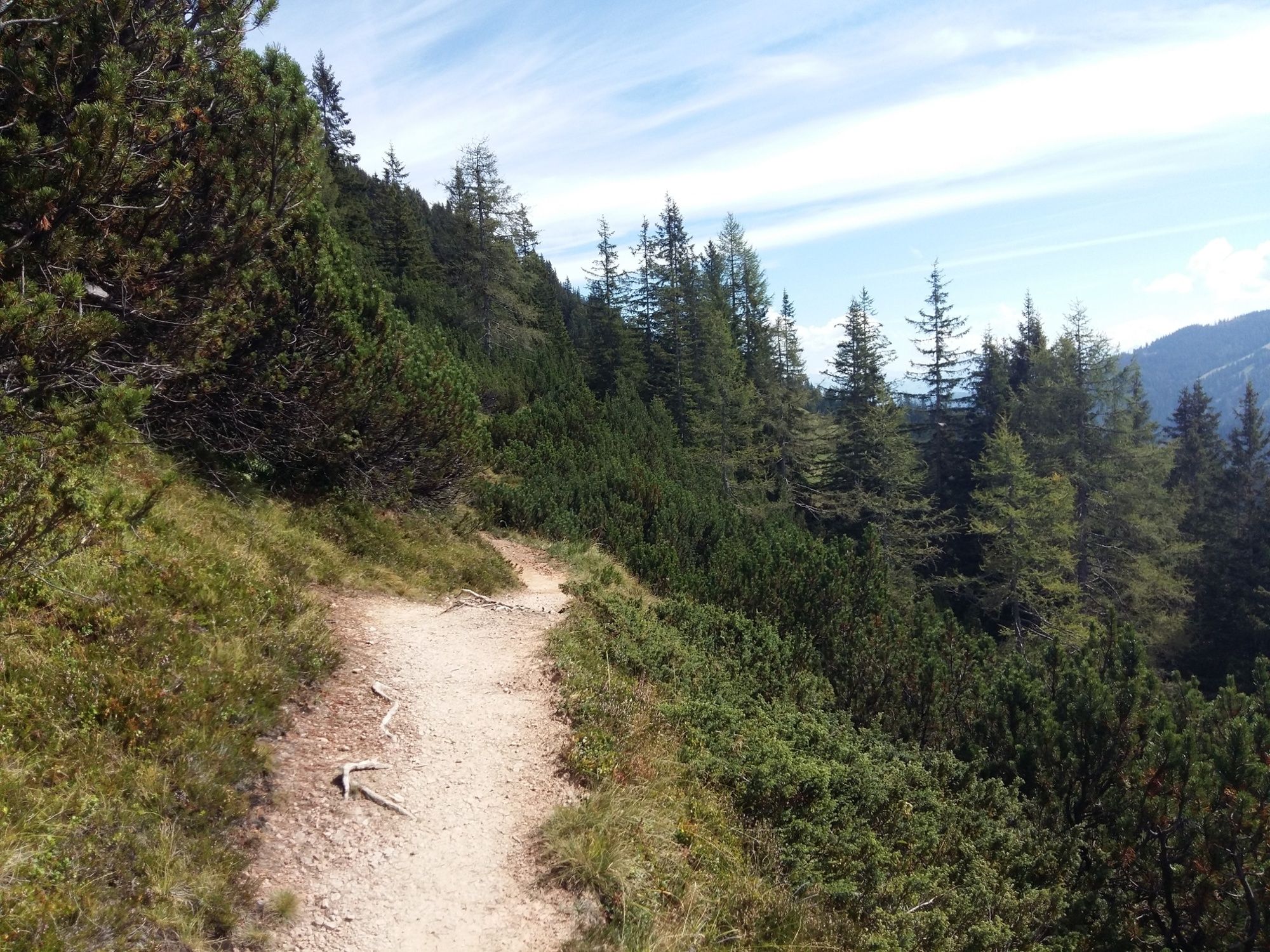
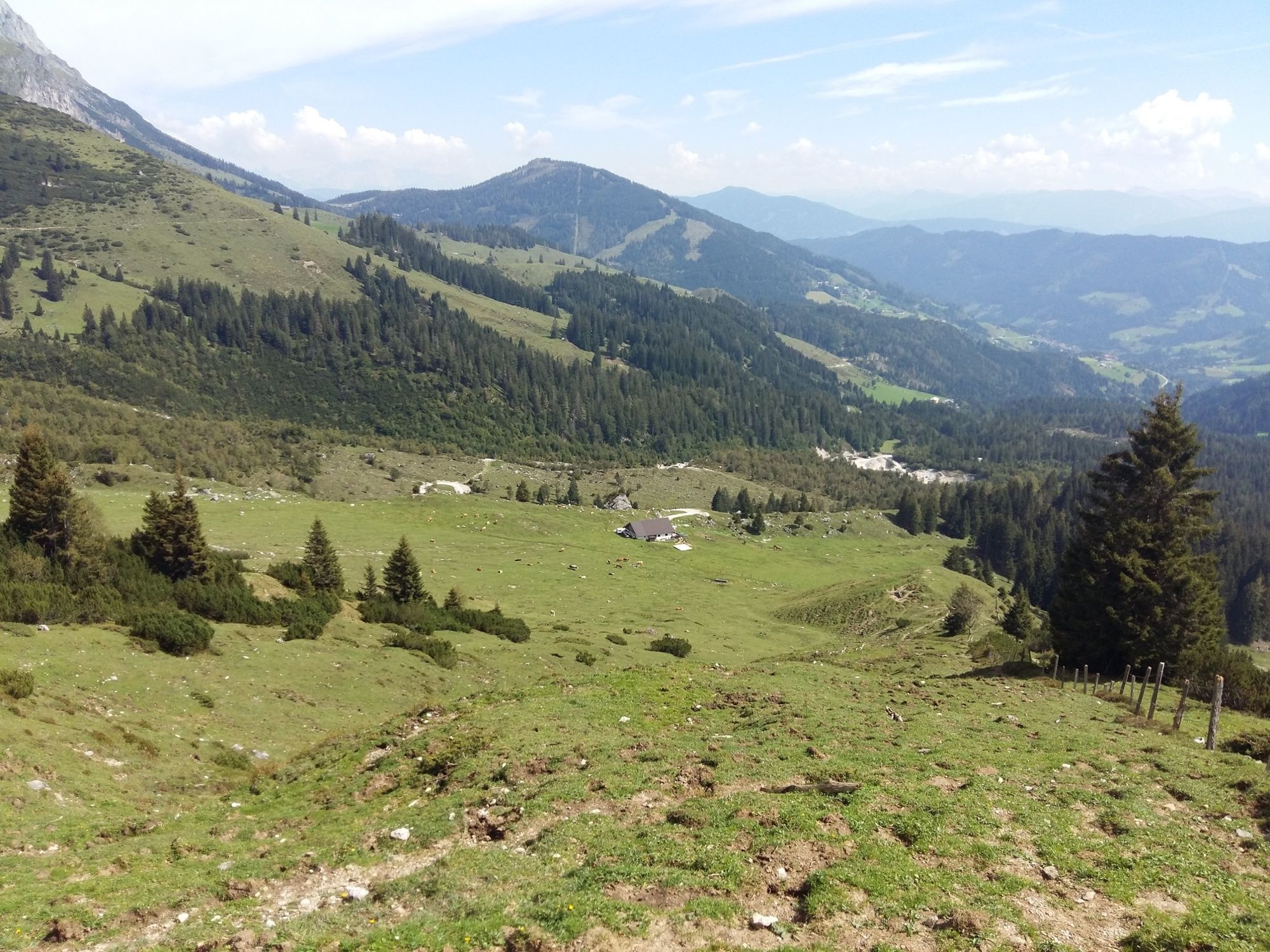
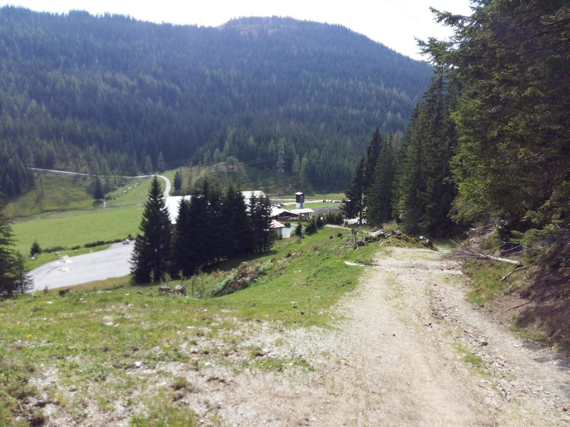
Beautiful panoramic hike to the Erichhütte.
- Teškoća
-
lagano
- Vrednovanje
-
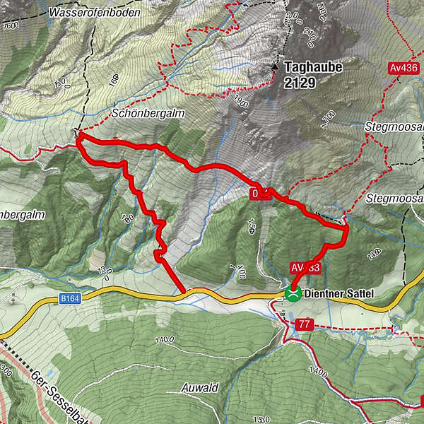
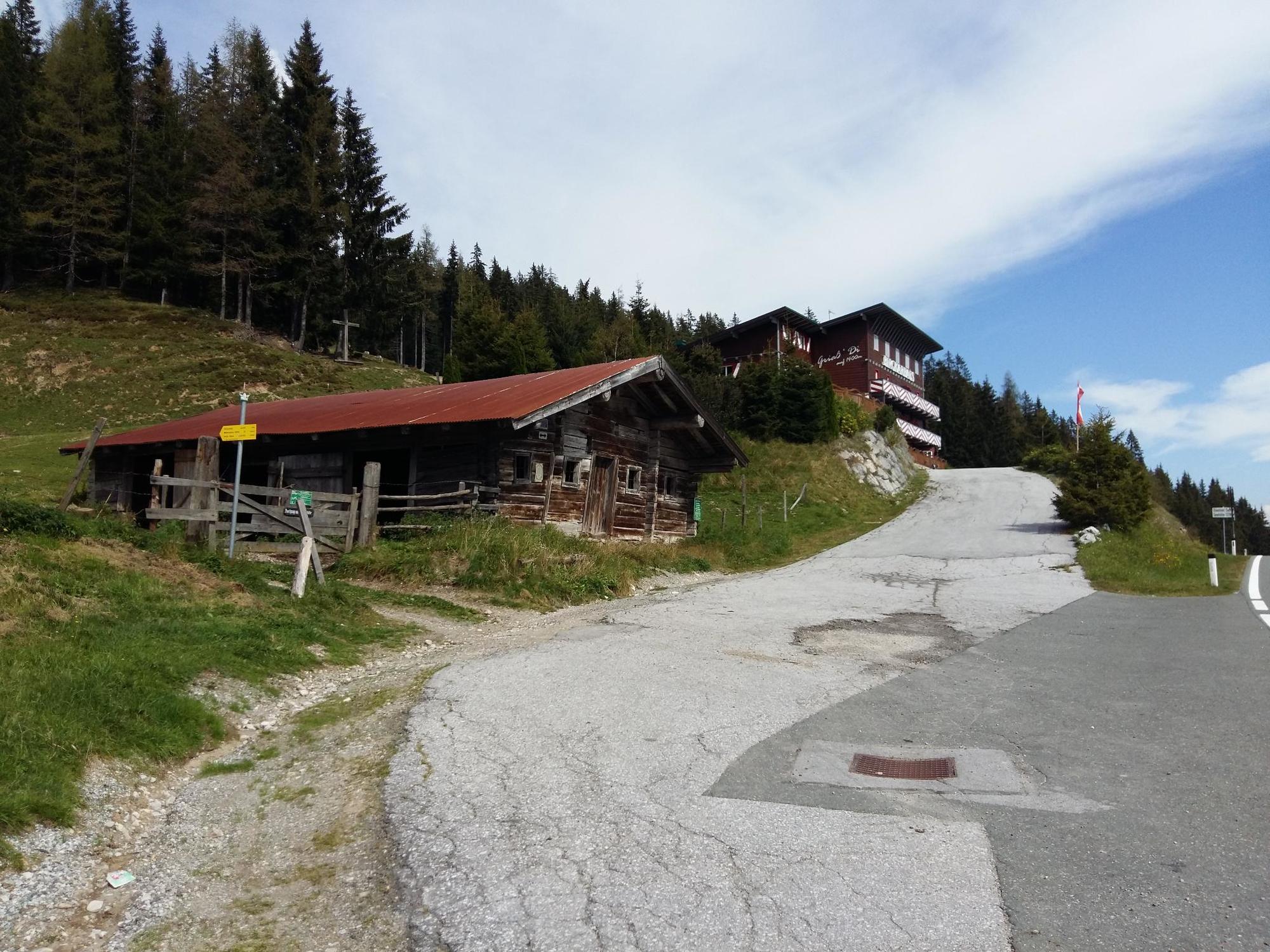
- Wegverlauf
-
Birgkarhaus4,0 km
- Beste Jahreszeit
-
sijveljožutrasvilipsrpkolrujlisstupro
- Höchster Punkt
- 1.590 m
- Zielpunkt
-
Birgkarhaus
- Höhenprofil
-


- Autor
-
Die Tour Hike to the Erichhütte wird von outdooractive.com bereitgestellt.
GPS Downloads


Opće informacije
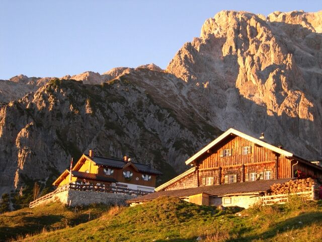
Einkehrmöglichkeit
Aussichtsreich
Weitere Touren in den Regionen
-
Hochkönig
2043
-
Dienten am Hochkönig
536


