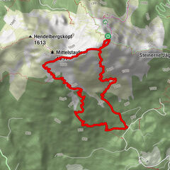
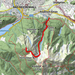
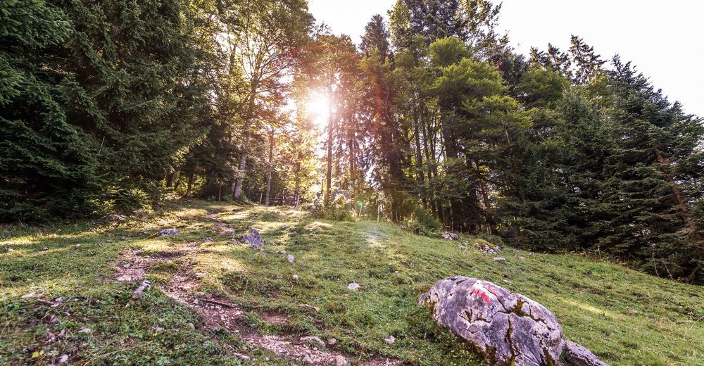
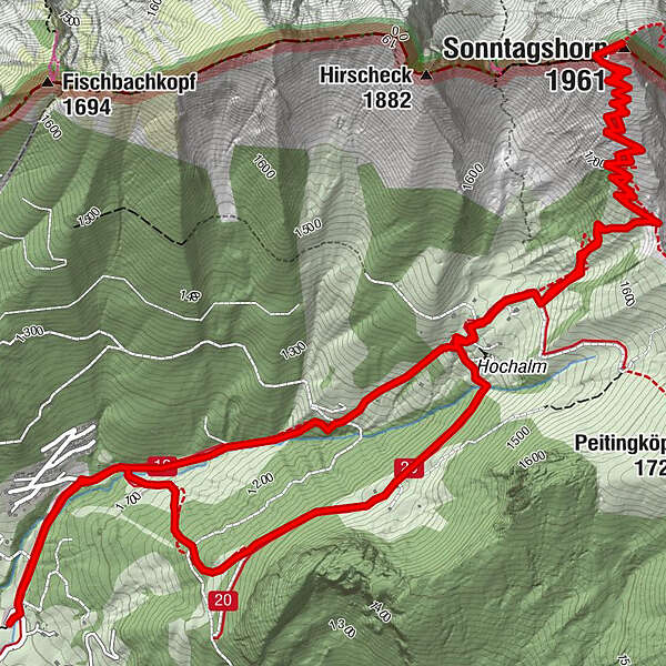
From Heutal to the Sonntagshorn in Salzburger Saalachtal Valley


© Salzburger Saalachtal Tourismus - © Andrea Posch

© Salzburger Saalachtal Tourismus - © Andrea Posch

© Salzburger Saalachtal Tourismus - © Achim Meurer

© Salzburger Saalachtal Tourismus - © Achim Meurer

© Salzburger Saalachtal Tourismus - © Achim Meurers

© Salzburger Saalachtal Tourismus - © Achim Meurers

© Salzburger Saalachtal Tourismus - © Achim Meurers
© Achim Meurer - Andrea Posch

© Achim Meurer - Andrea Posch
- Kratak opis
-
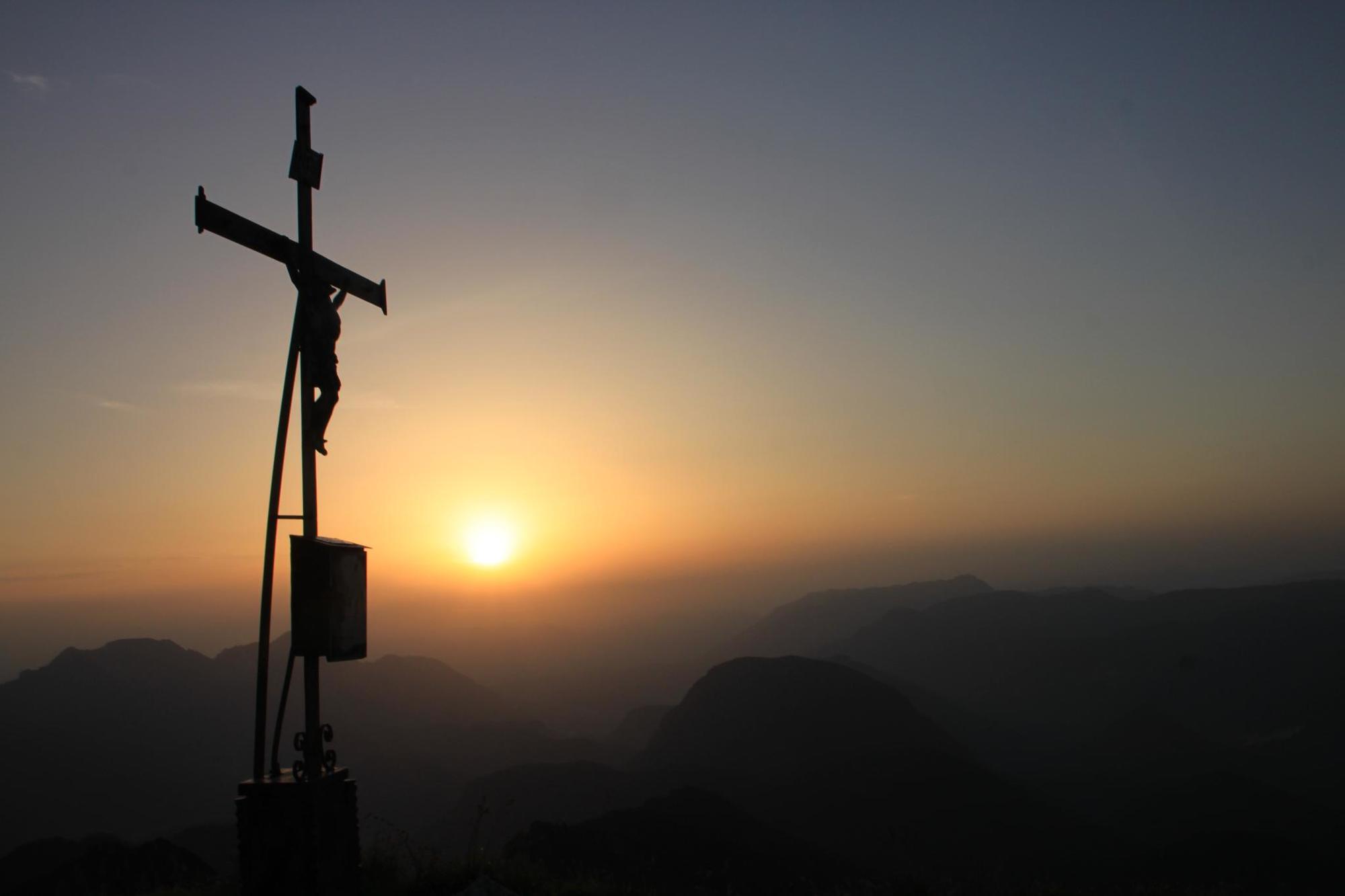
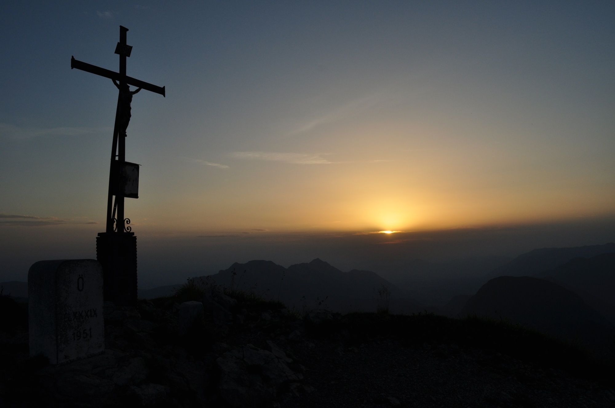
The Sonntagshorn (1961m) is the highest peak in the Chiemgau Alps and offers wonderful distant views in all directions.
- Teškoća
-
srednje
- Vrednovanje
-
- Wegverlauf
-
Angerertal0,4 kmTrostberger Hütte2,2 kmHochalm2,5 kmPerchthöhe3,5 kmSonntagshorn (1.961 m)5,4 kmHochalm8,4 kmTrostberger Hütte8,6 kmAngerertal11,1 km
- Beste Jahreszeit
-
sijveljožutrasvilipsrpkolrujlisstupro
- Höchster Punkt
- 1.943 m
- Zielpunkt
-
Car park Heutalbauer
- Höhenprofil
-


-

-
AutorDie Tour From Heutal to the Sonntagshorn in Salzburger Saalachtal Valley wird von outdooractive.com bereitgestellt.
GPS Downloads


Opće informacije
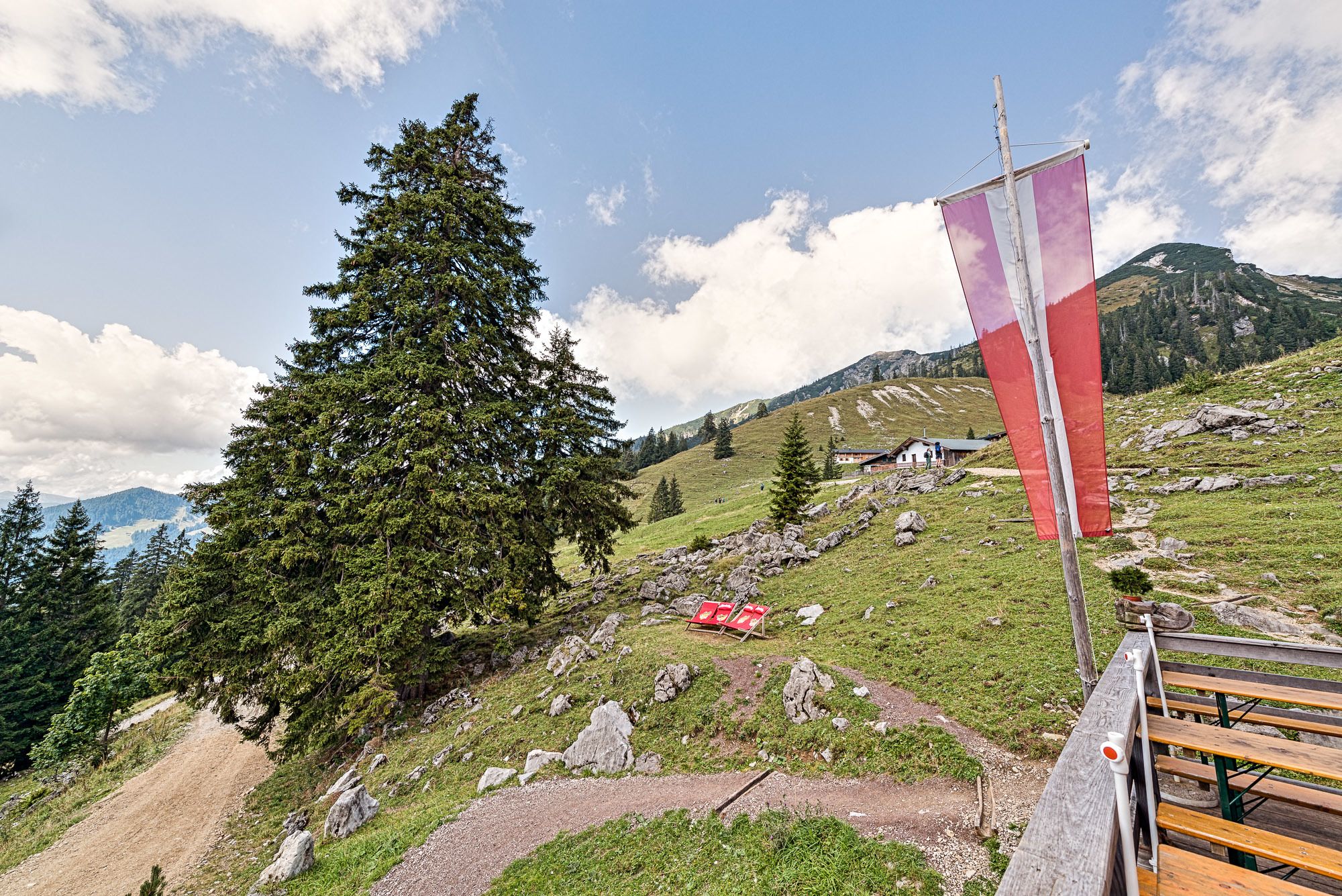
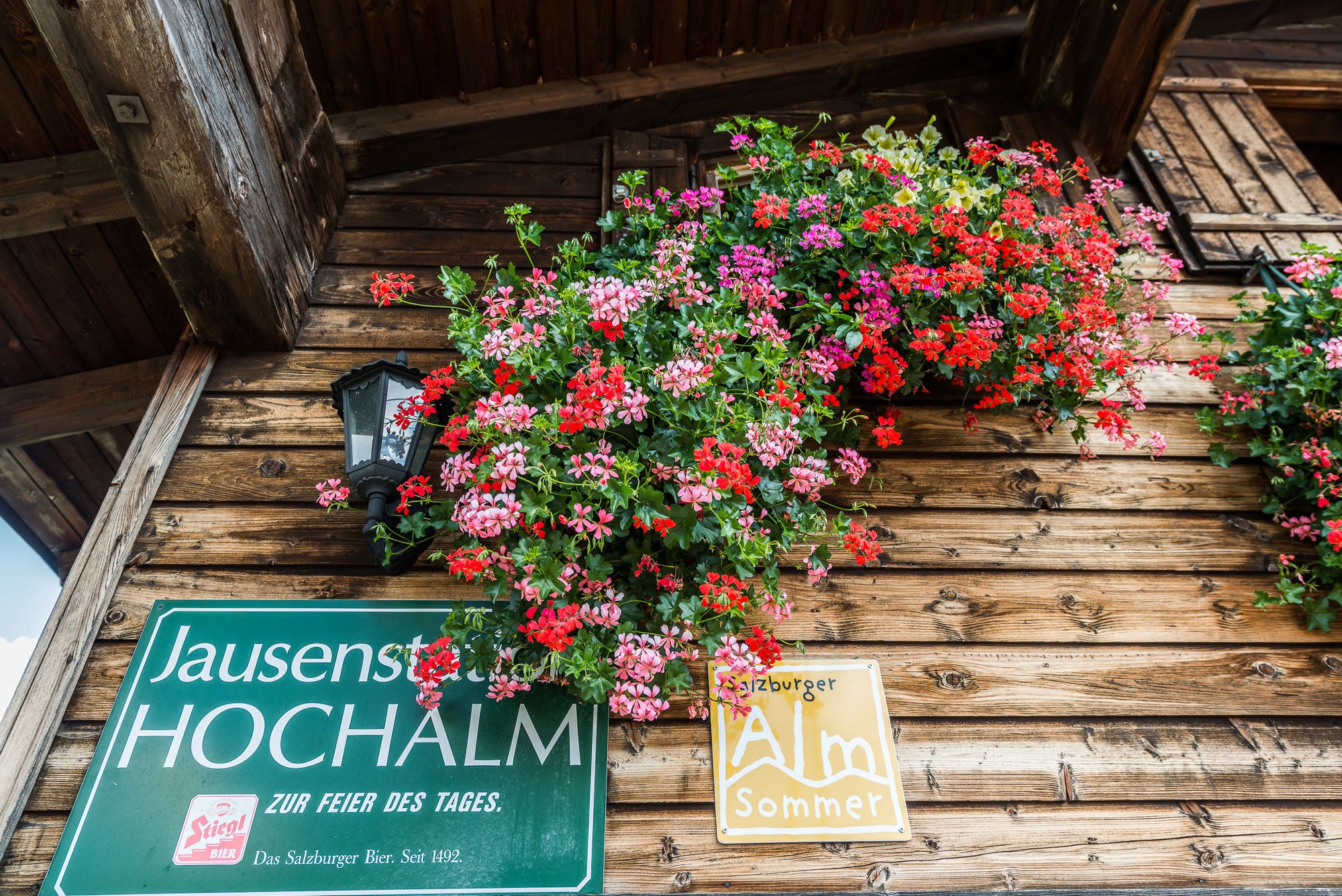
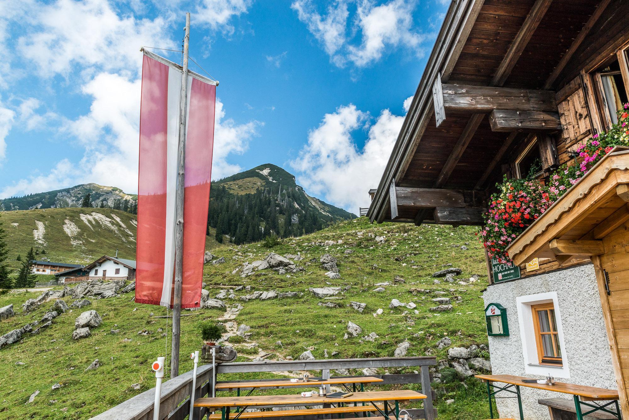
Einkehrmöglichkeit
Fauna
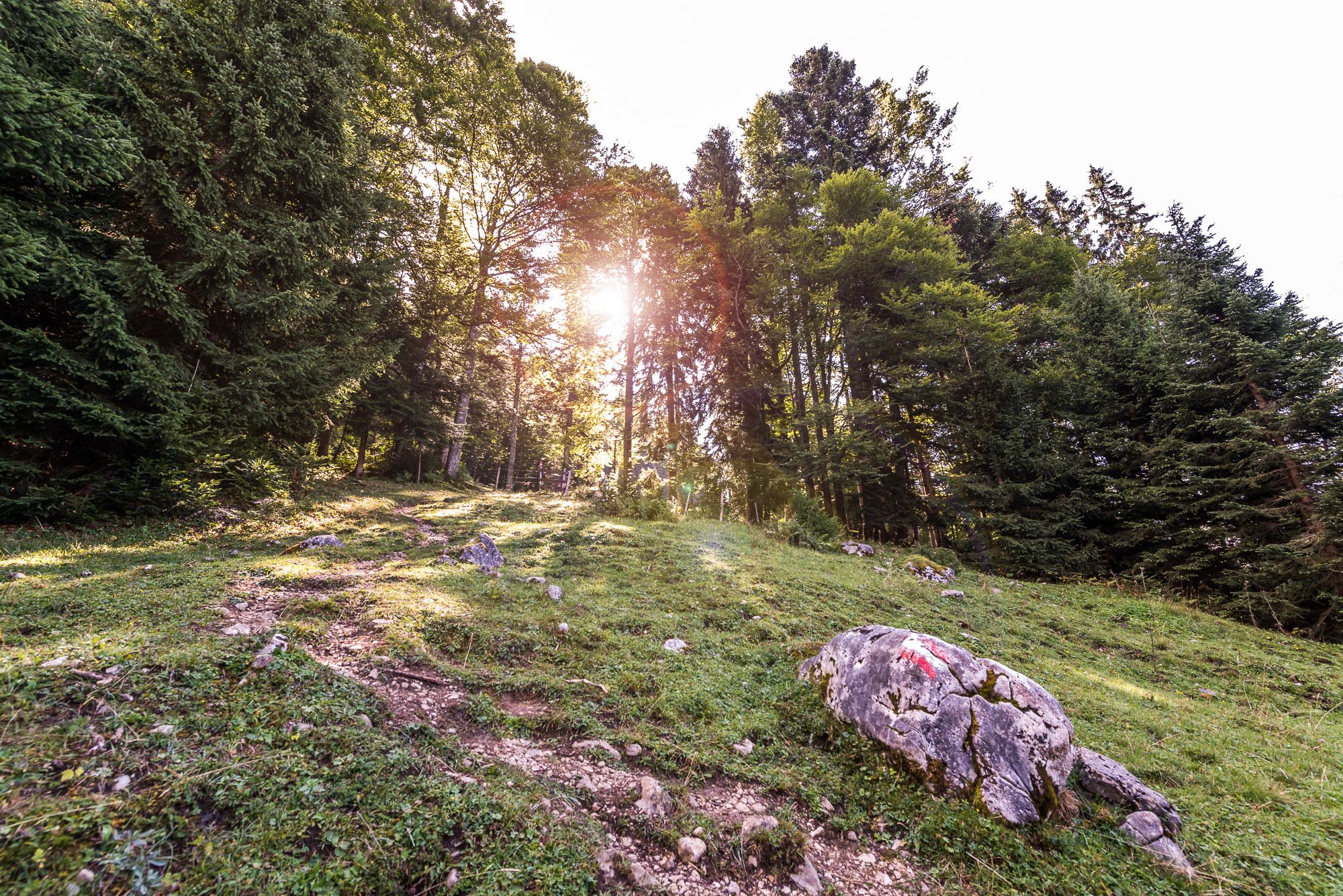
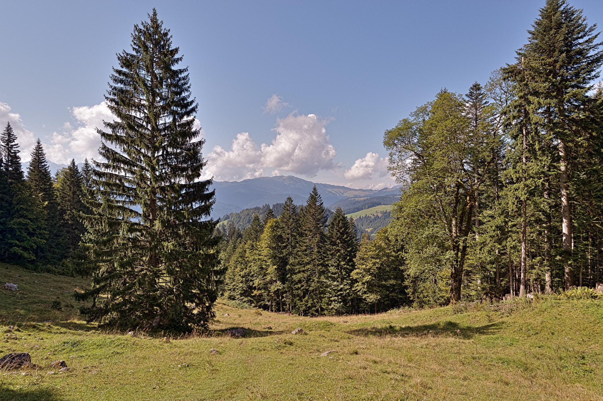
Aussichtsreich
Weitere Touren in den Regionen
-
Salzburger Saalachtal
1855
-
Unken - Heutal
466