


- Kratak opis
-
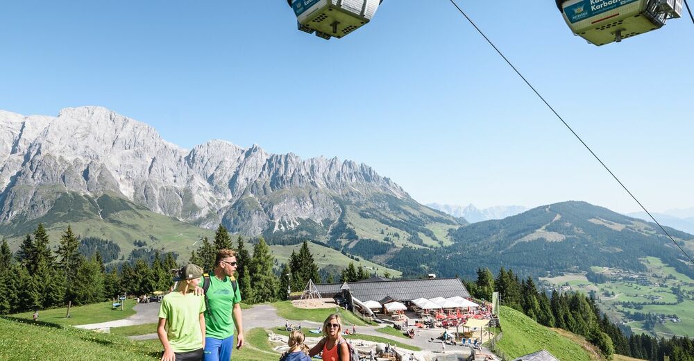
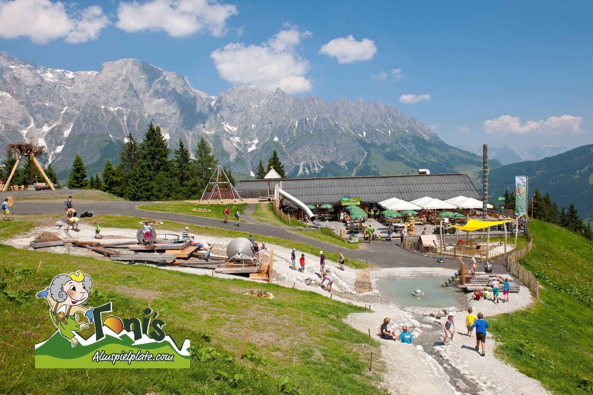
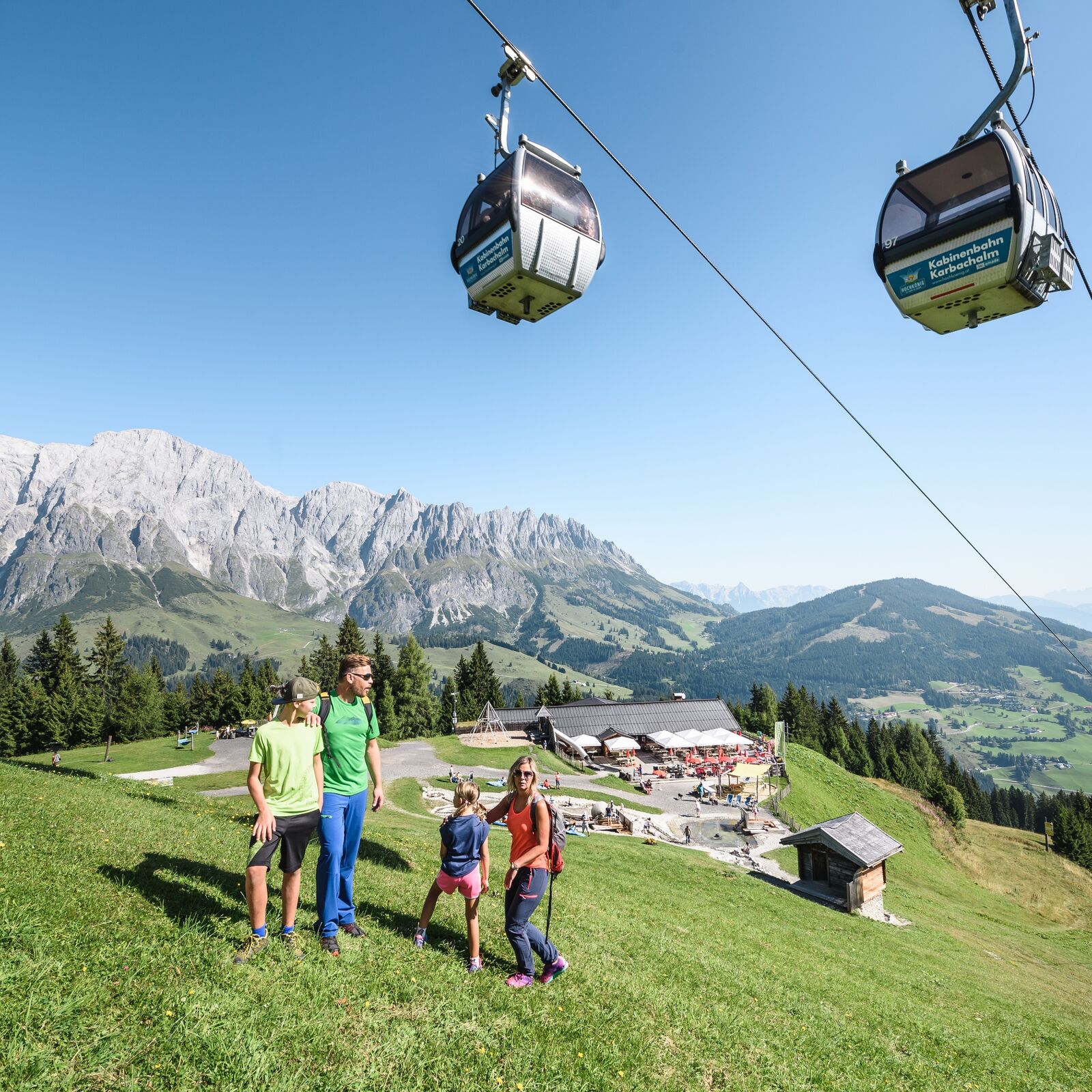
Let's go ... the cable car Karbachalm takes you in a few minutes to Toni's Alm playground.
There a lot of fun and games are waiting for our little guests.
- Teškoća
-
lagano
- Vrednovanje
-
- Wegverlauf
-
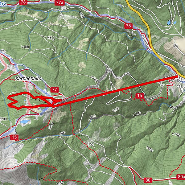
Karbachalm0,0 kmKarbachalm1,4 kmKarbachalm3,6 km
- Beste Jahreszeit
-
sijveljožutrasvilipsrpkolrujlisstupro
- Höchster Punkt
- 1.649 m
- Zielpunkt
-
Toni's Almspielplatz
- Höhenprofil
-

- Autor
-
Die Tour FAMILY WALKING ROUTE Toni's Almspielplatz wird von outdooractive.com bereitgestellt.
GPS Downloads


Opće informacije
Einkehrmöglichkeit
Aussichtsreich
Weitere Touren in den Regionen


