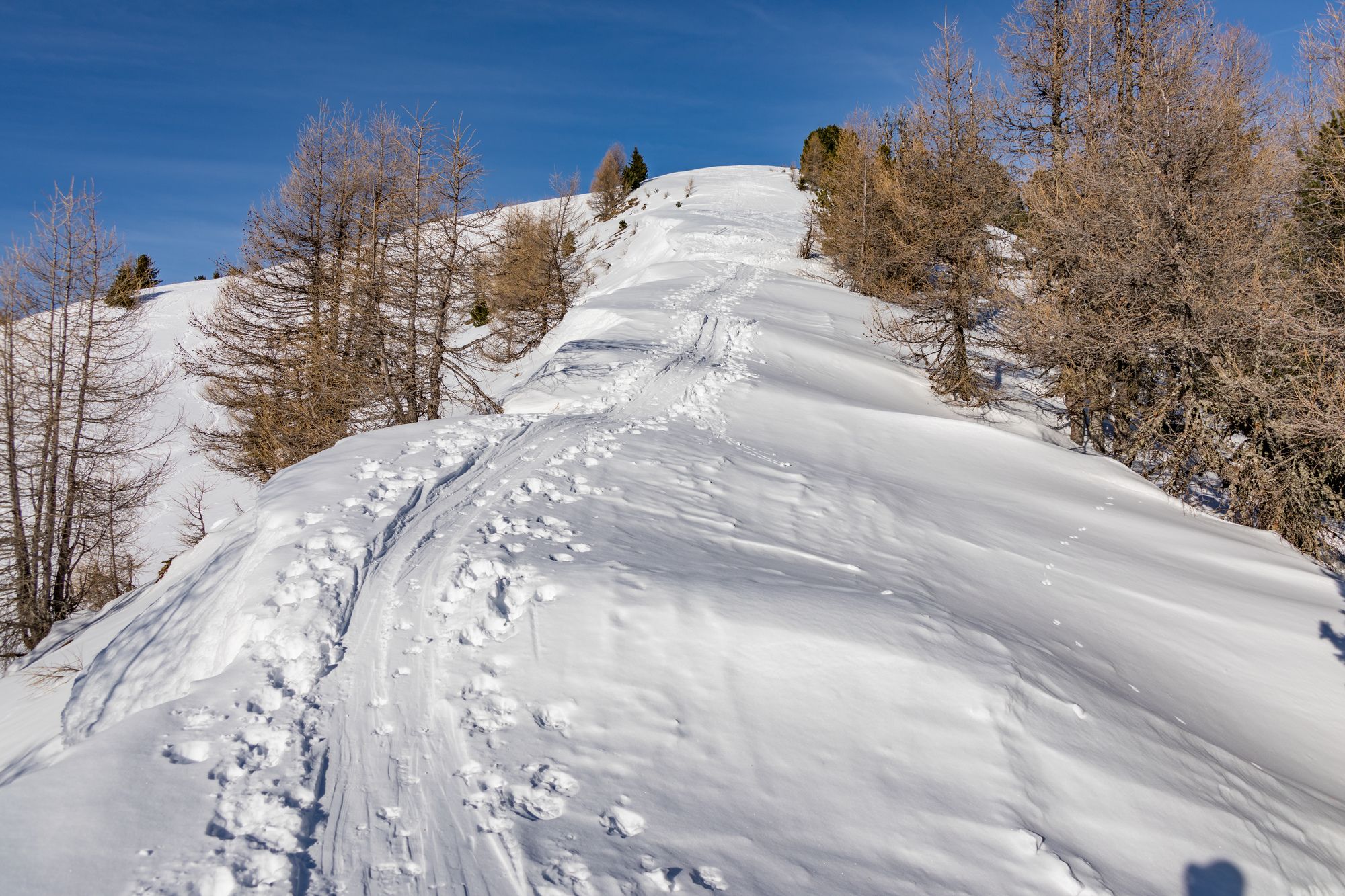
© Michael Kleinsasser

© Michael Kleinsasser

© Michael Kleinsasser

© Michael Kleinsasser

© Michael Kleinsasser

© Michael Kleinsasser
Podaci o ruti
10,39km
1.720
- 2.192m
639hm
645hm
03:50h
- Kratak opis
-
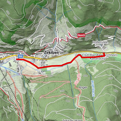
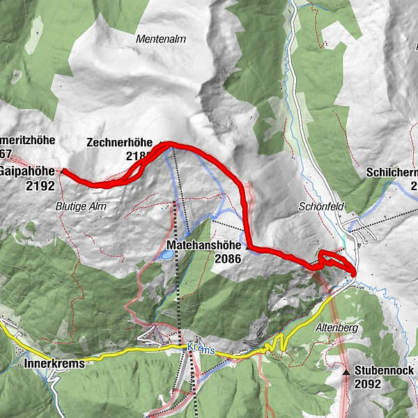
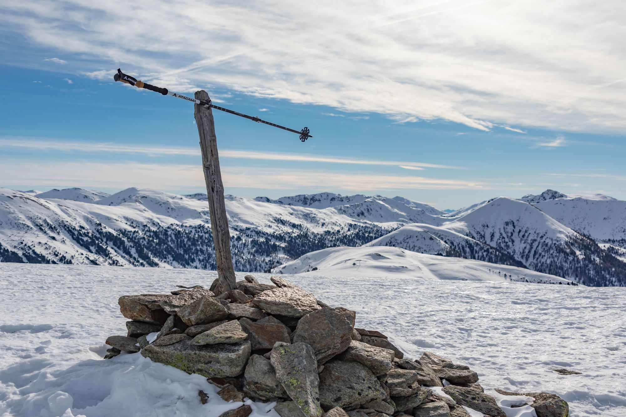
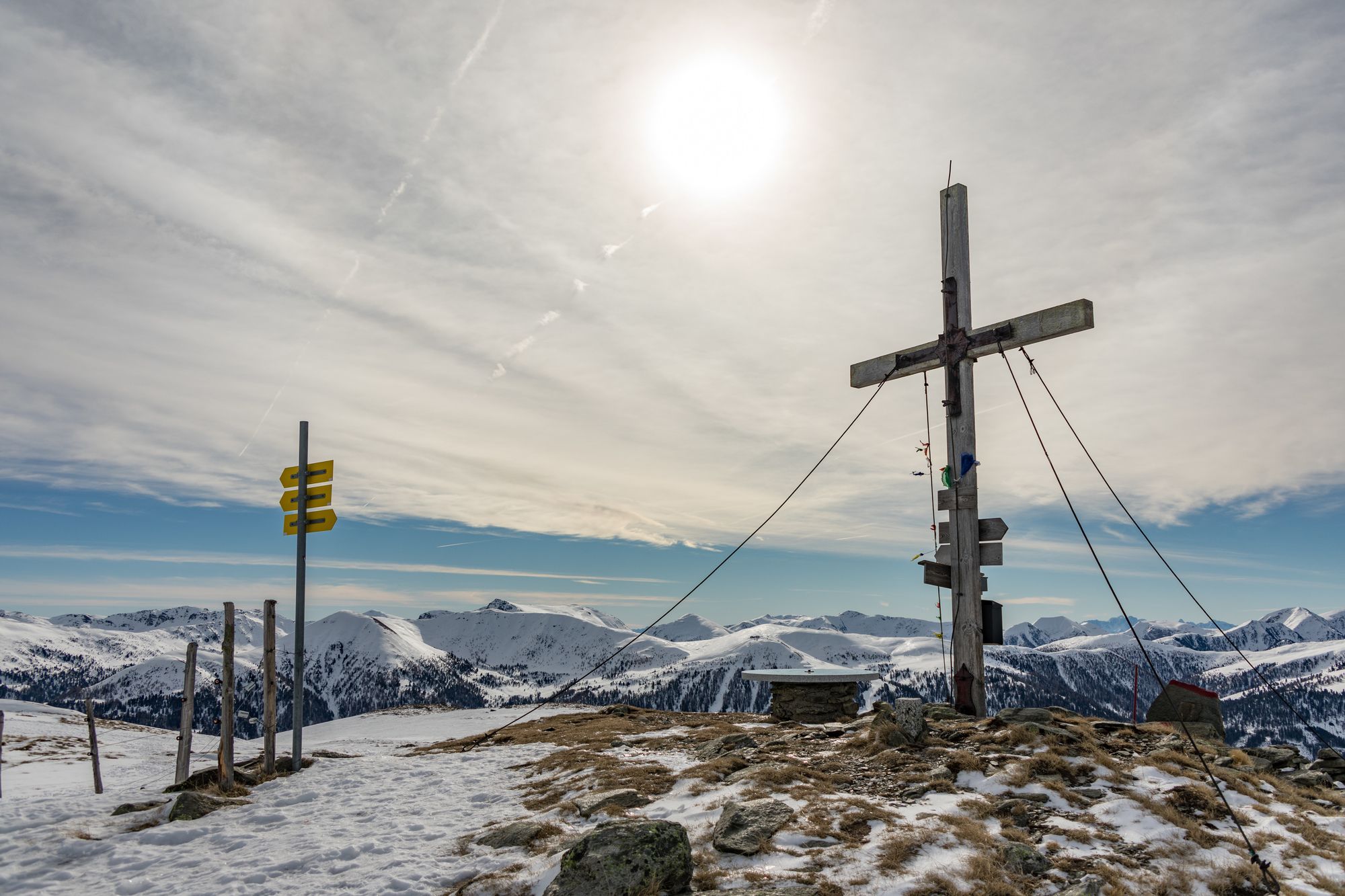
Von der Mehrl Hütte über Matehanshöhe, Zechnerhöhe auf die Gaipahöhe (1 Gipfelkreuz) und zurück
- Teškoća
-
srednje
- Vrednovanje
-
- Polazna točka
-
Dr. Josef Mehrl Hütte
- Wegverlauf
-
Dr.Josef-Mehrl-Hütte0,0 kmMatehanshöhe (2.086 m)1,7 kmZechnerhöhe (2.188 m)3,6 kmGaipahöhe (2.192 m)5,1 kmZechnerhöhe (2.188 m)6,6 kmMatehanshöhe (2.086 m)8,6 kmDr.Josef-Mehrl-Hütte10,3 km
- Beste Jahreszeit
-
kolrujlisstuprosijveljožutrasvilipsrp
- Höchster Punkt
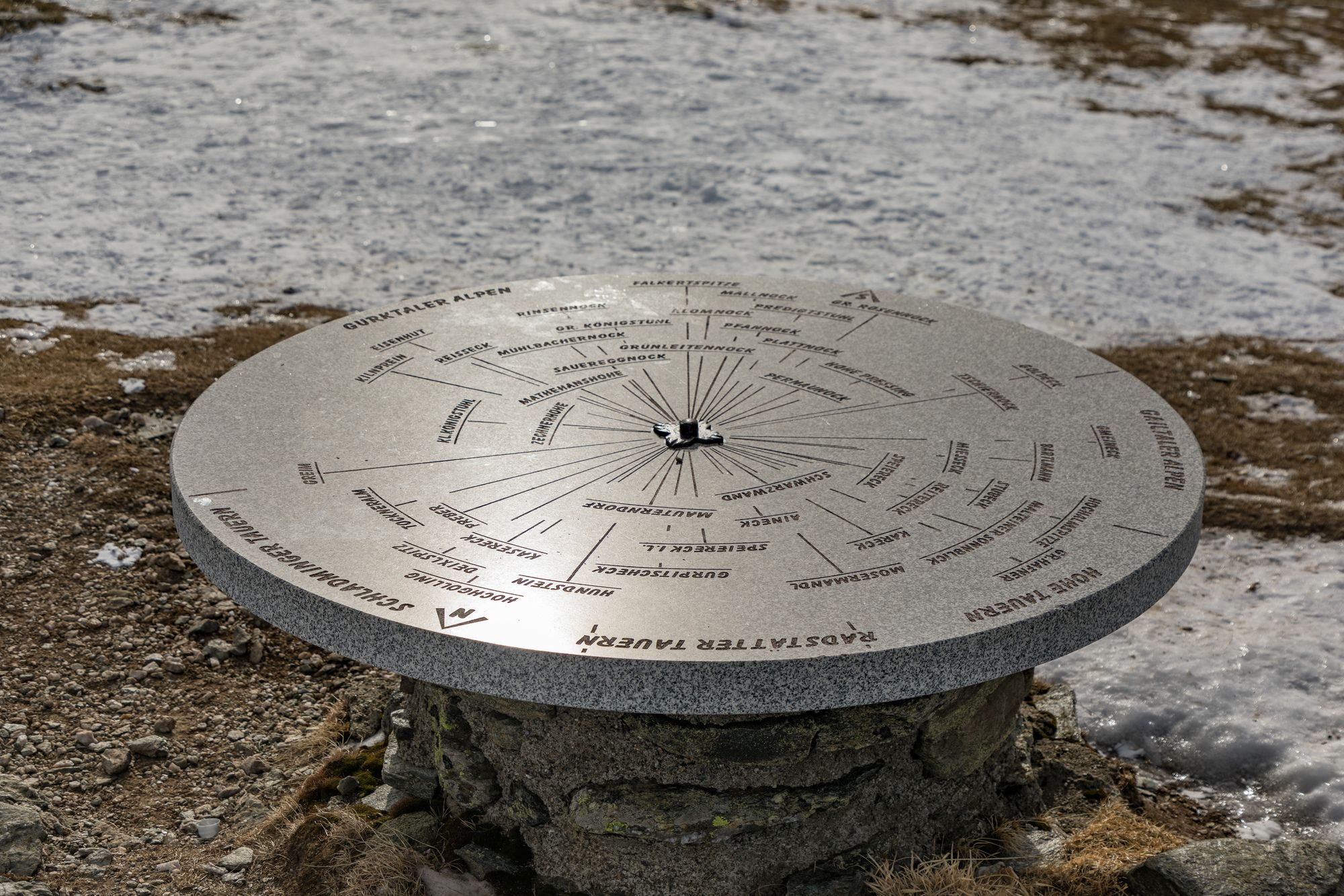
- Gaipahöhe (2.192 m)
- Zielpunkt
-
Gaipahöhe
- Rast/Einkehr
-
Mehrl Hütte


- Izvor
- Mike
GPS Downloads


Weitere Touren in den Regionen