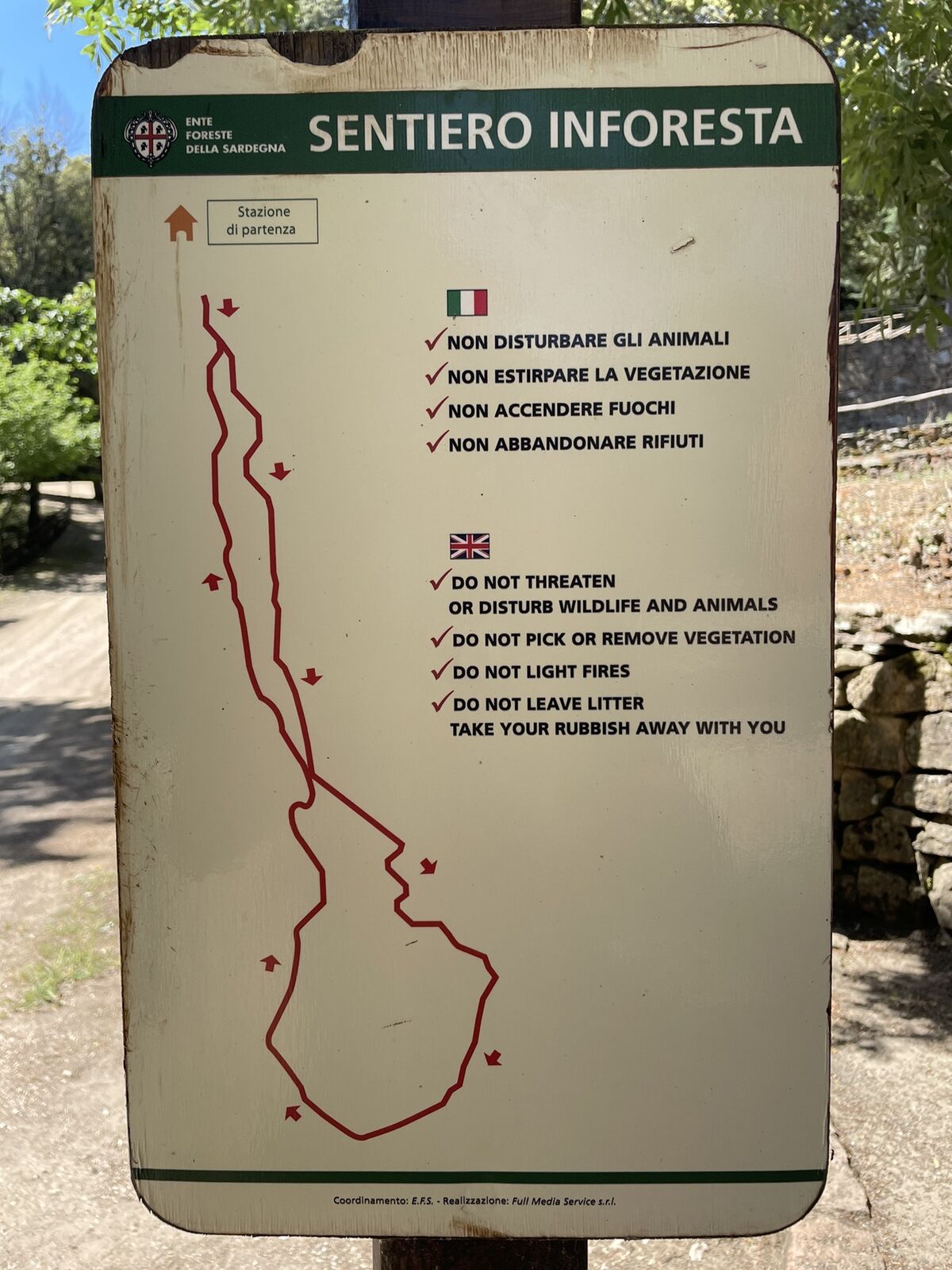
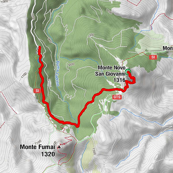
Podaci o ruti
7,86km
998
- 1.313m
323hm
314hm
02:02h
- Kratak opis
-
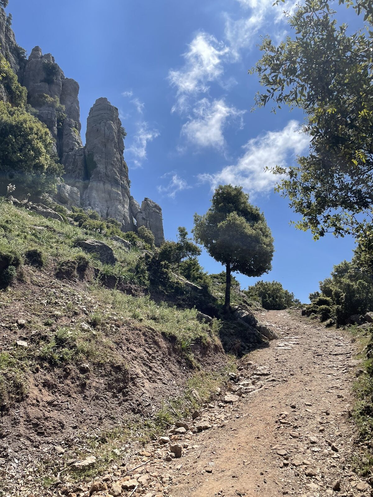
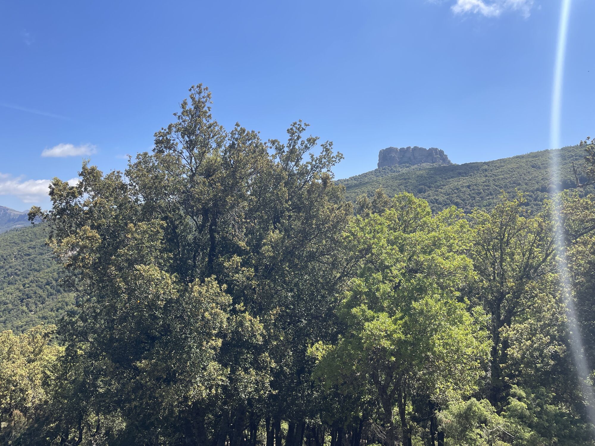
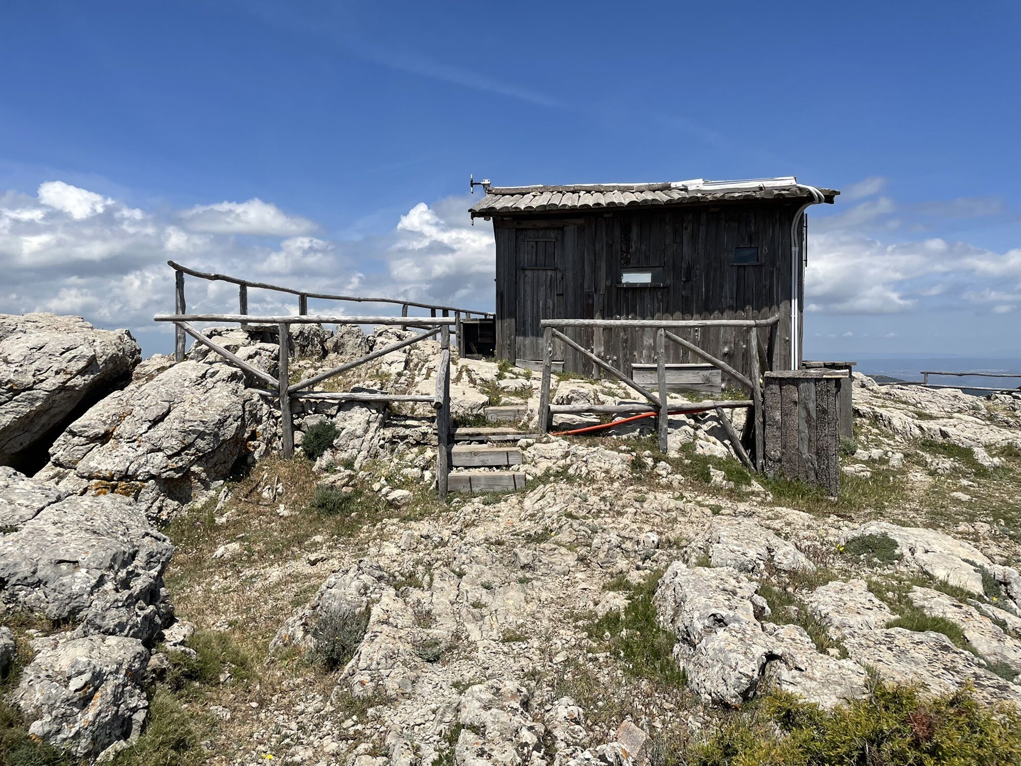
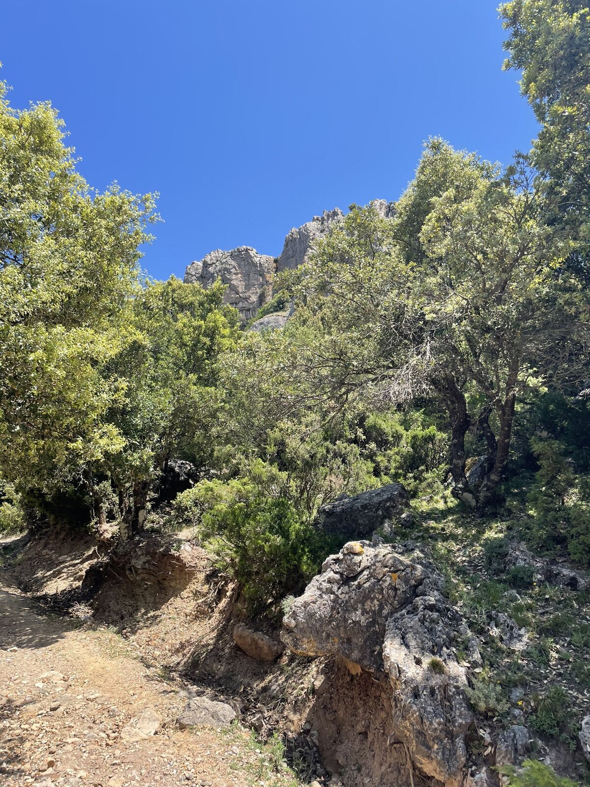
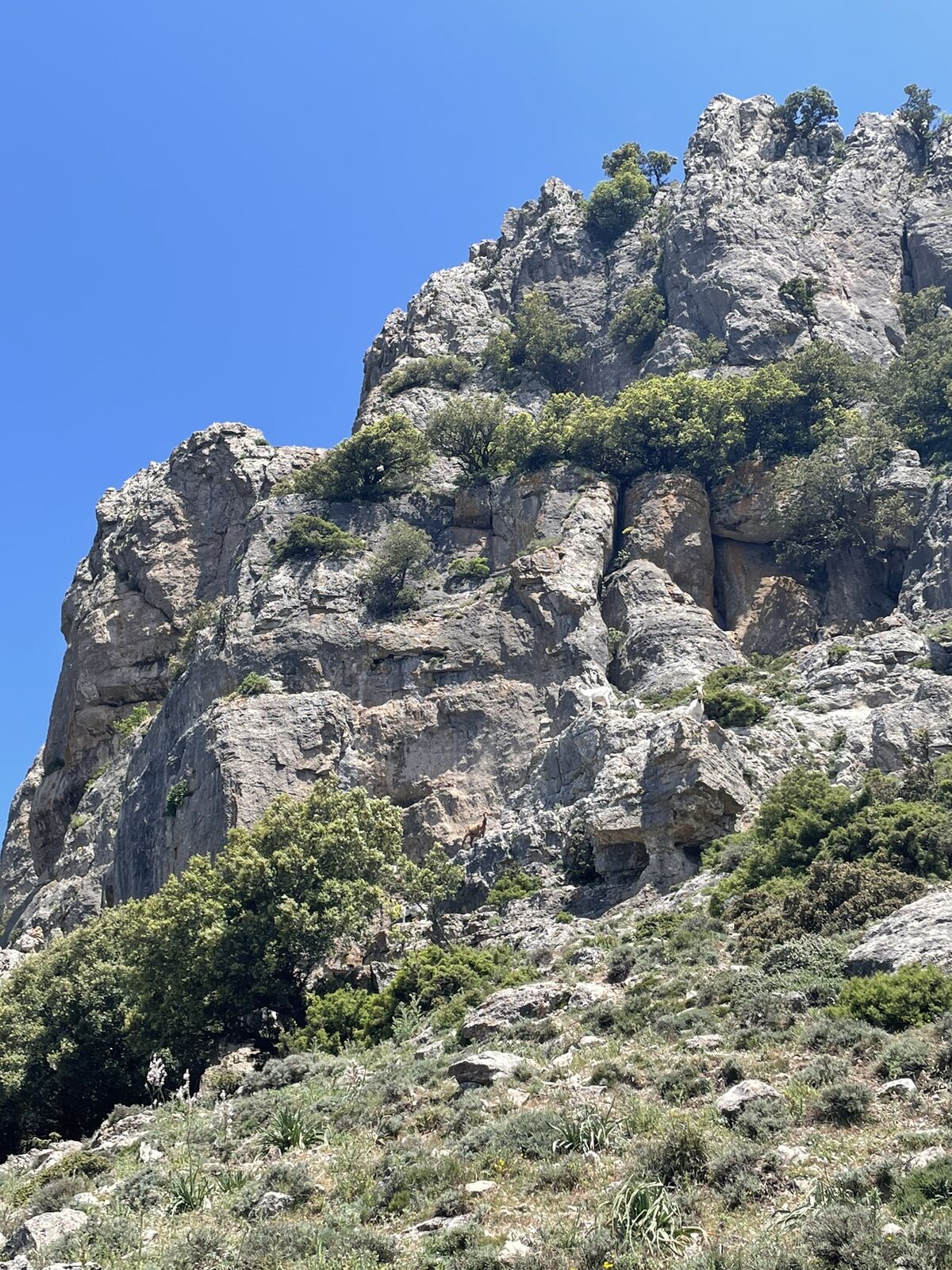
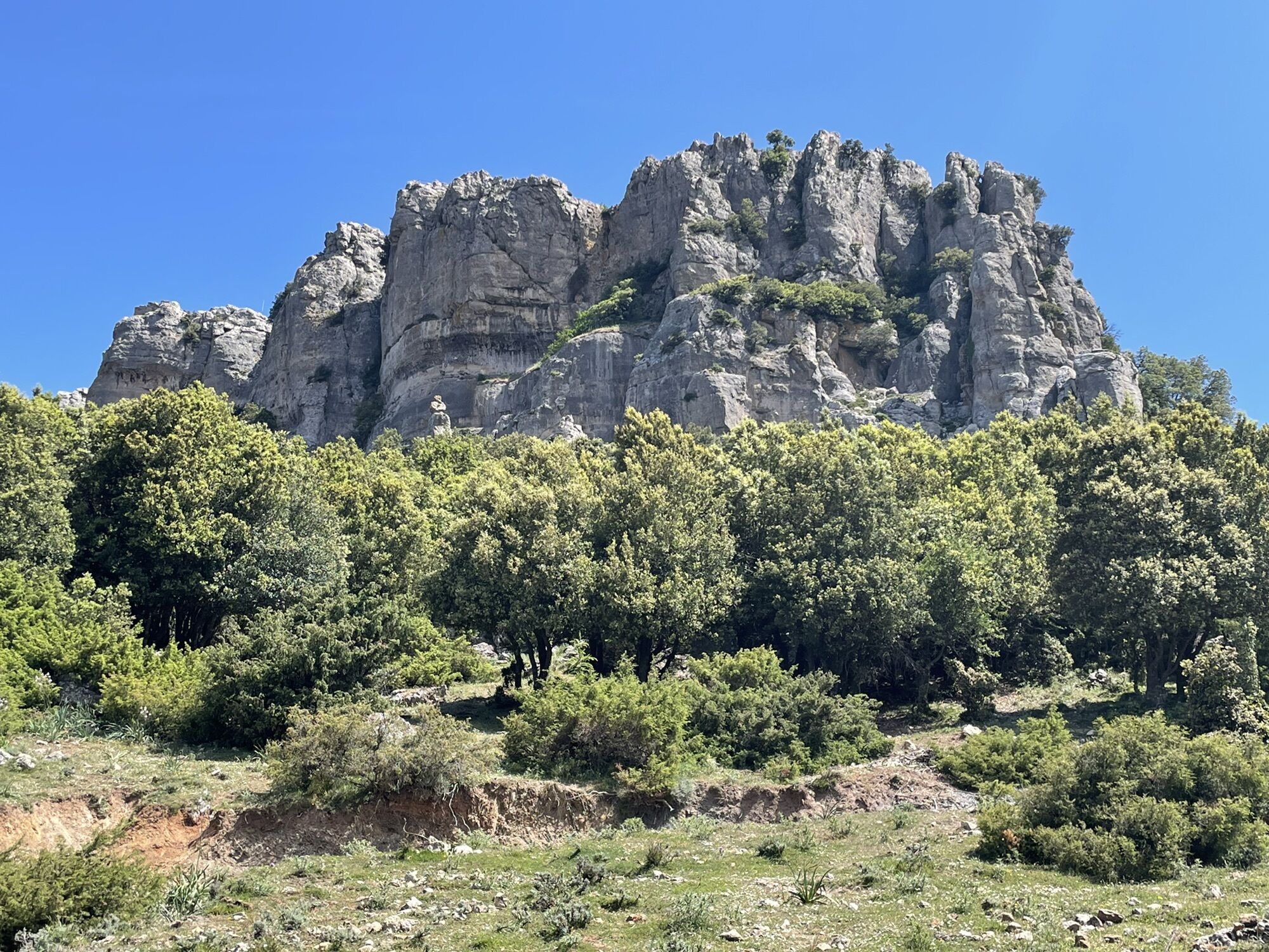
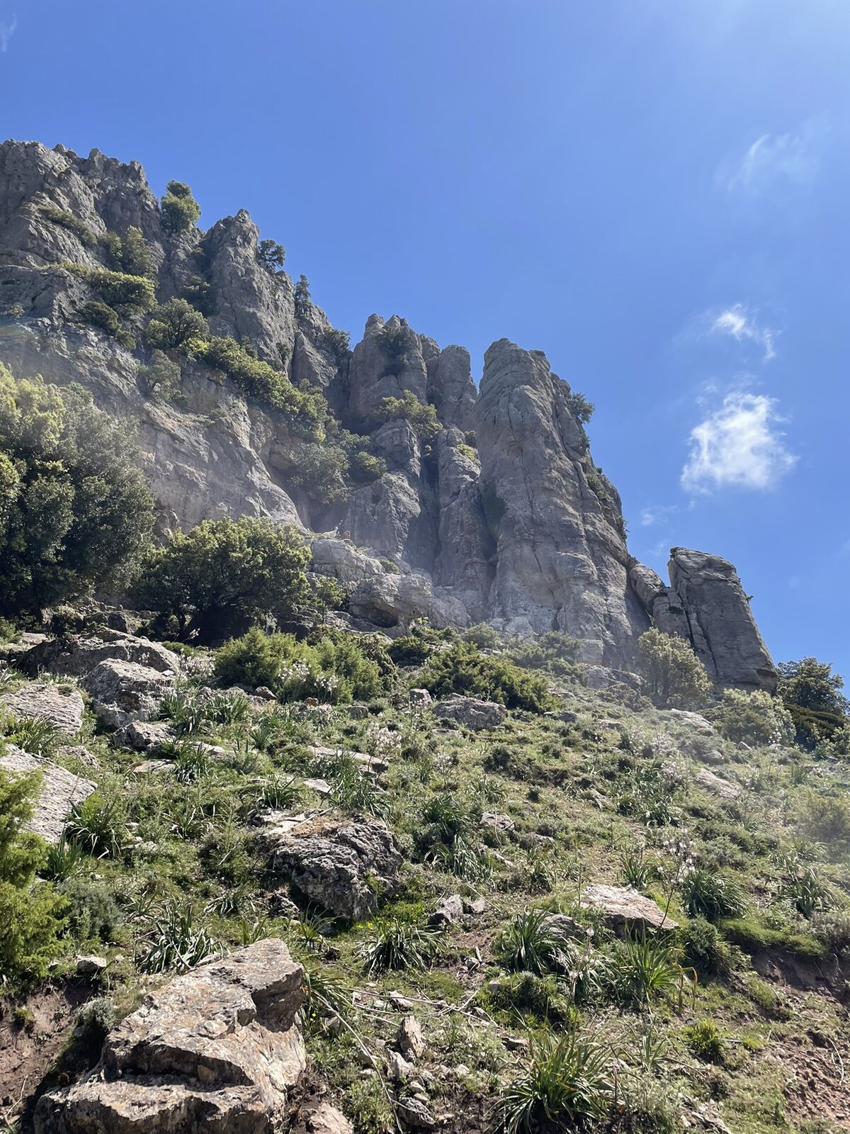
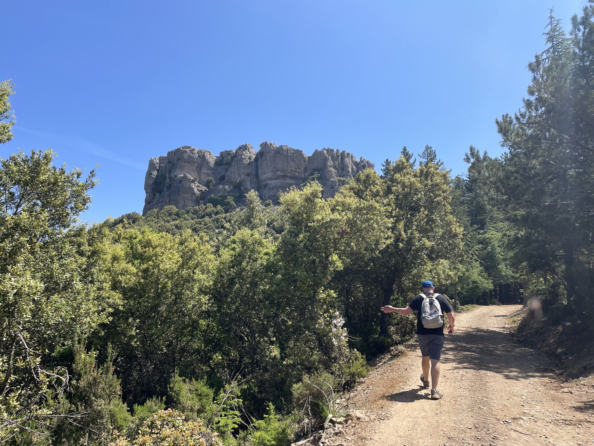
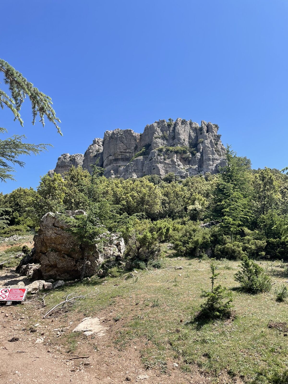
Wanderung von der Forstverwaltung auf den Berg - muss sein
- Teškoća
-
lagano
- Vrednovanje
-
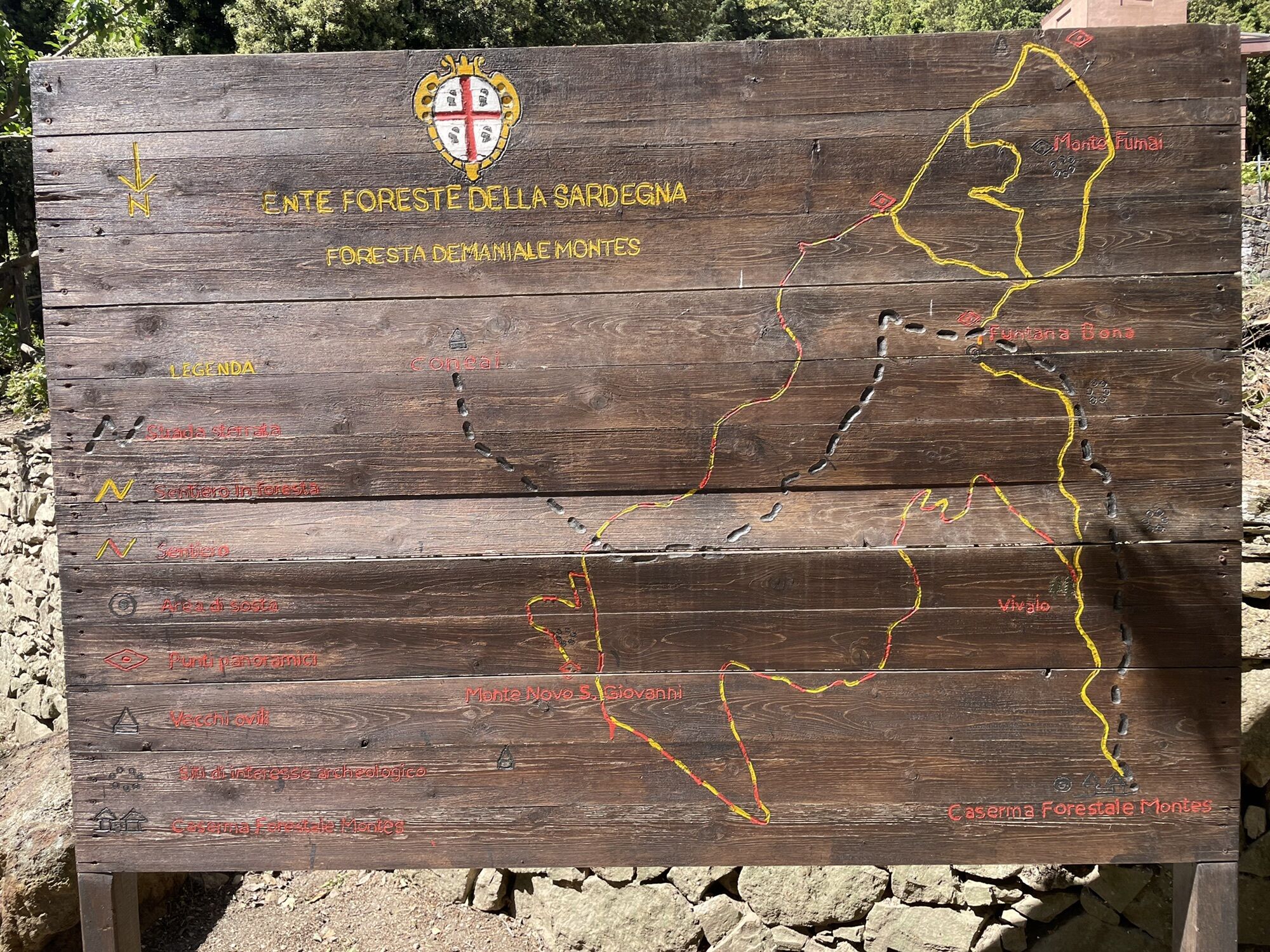
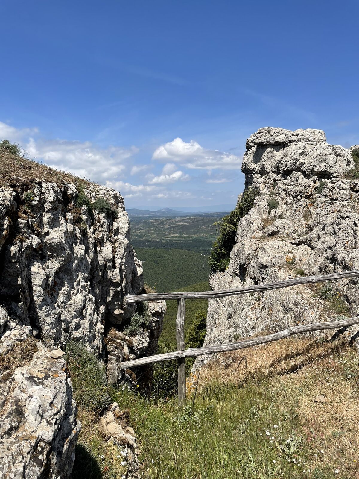
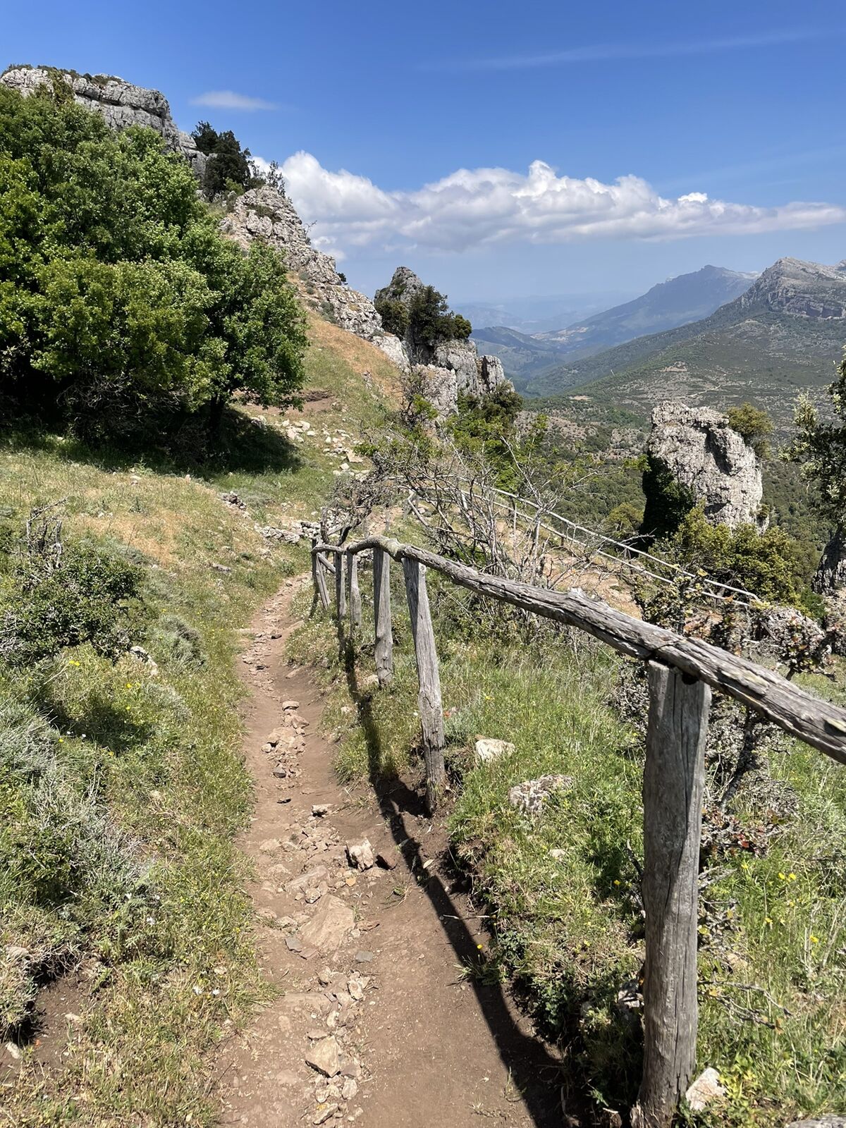
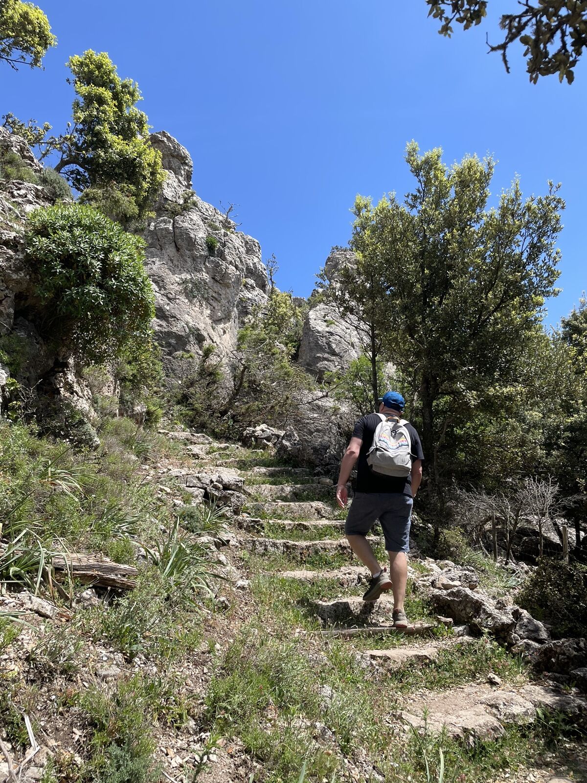
- Wegverlauf
-
MontesFuntana Bona (1.009 m)1,6 kmFuntana Bona (1.009 m)6,2 kmMontes7,8 km
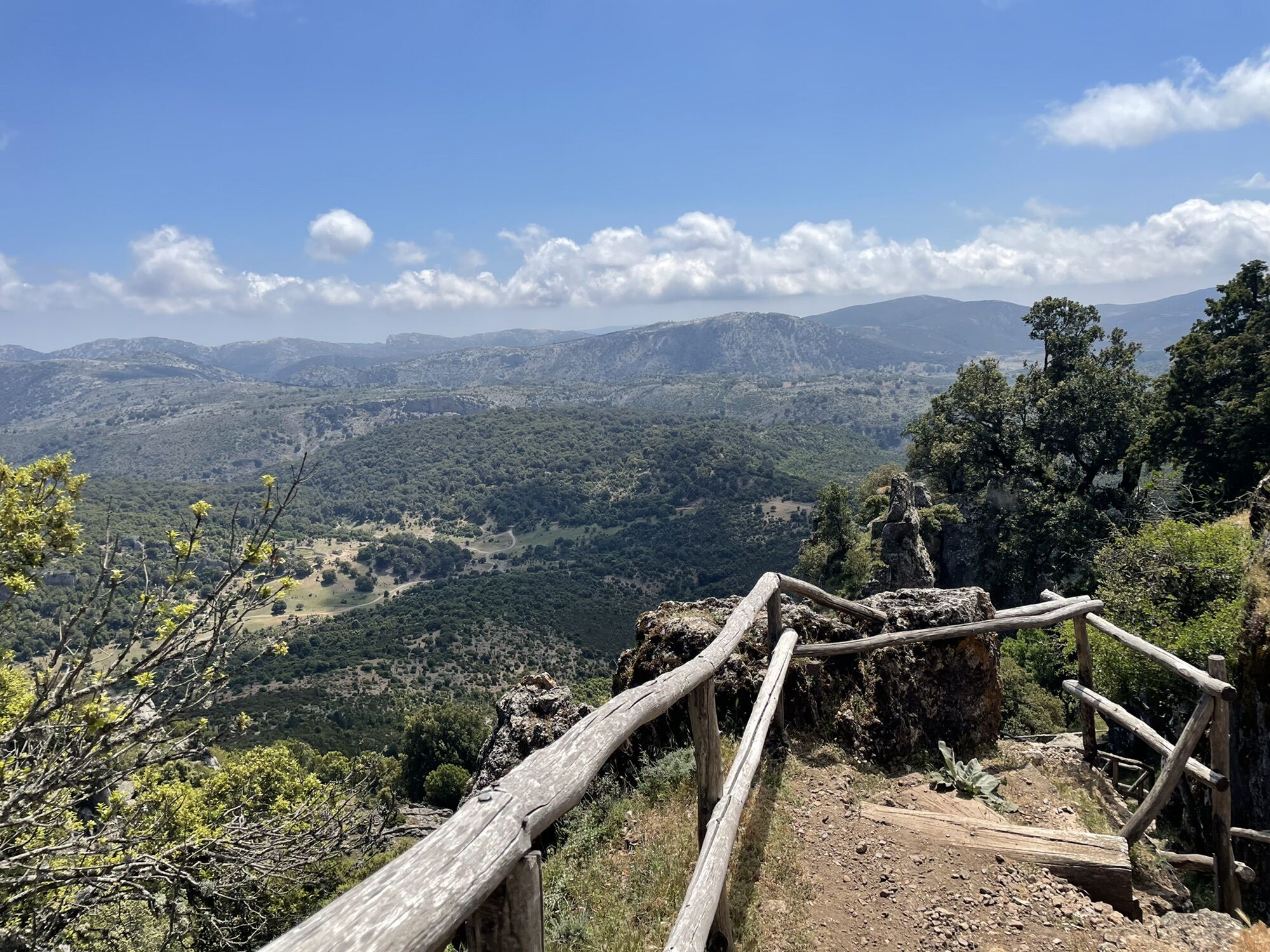
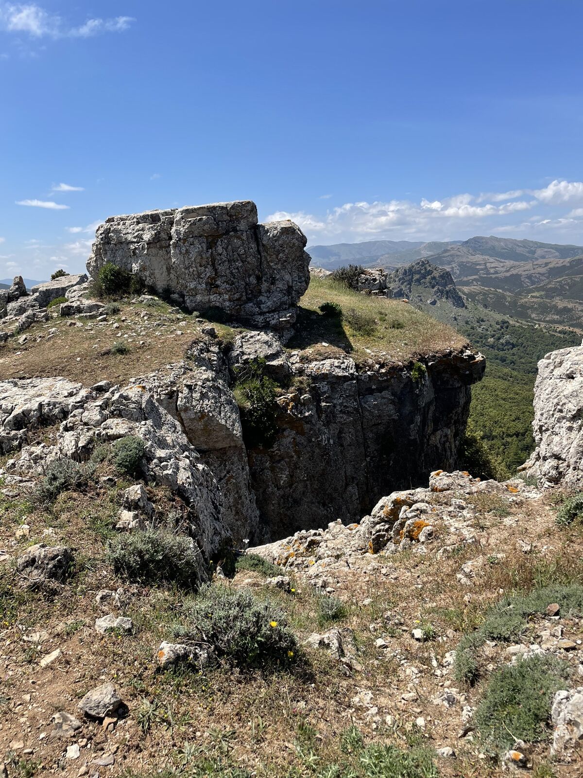
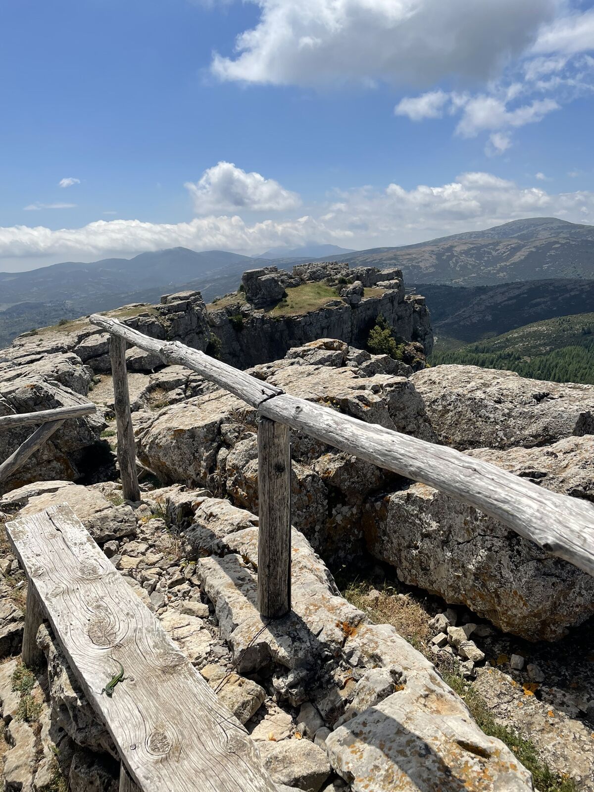
- Höchster Punkt
- 1.313 m