MTB - Tour 67d - Steinplan starting from Gobernitz

Mountainbike
© Erlebnisregion Murtal - Anita Fössl

© WEGES OG

© Erlebnisregion Murtal - Anita Fössl

© Erlebnisregion Murtal - Verena Kreis

- Kratak opis
-
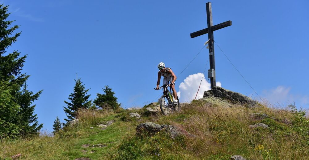
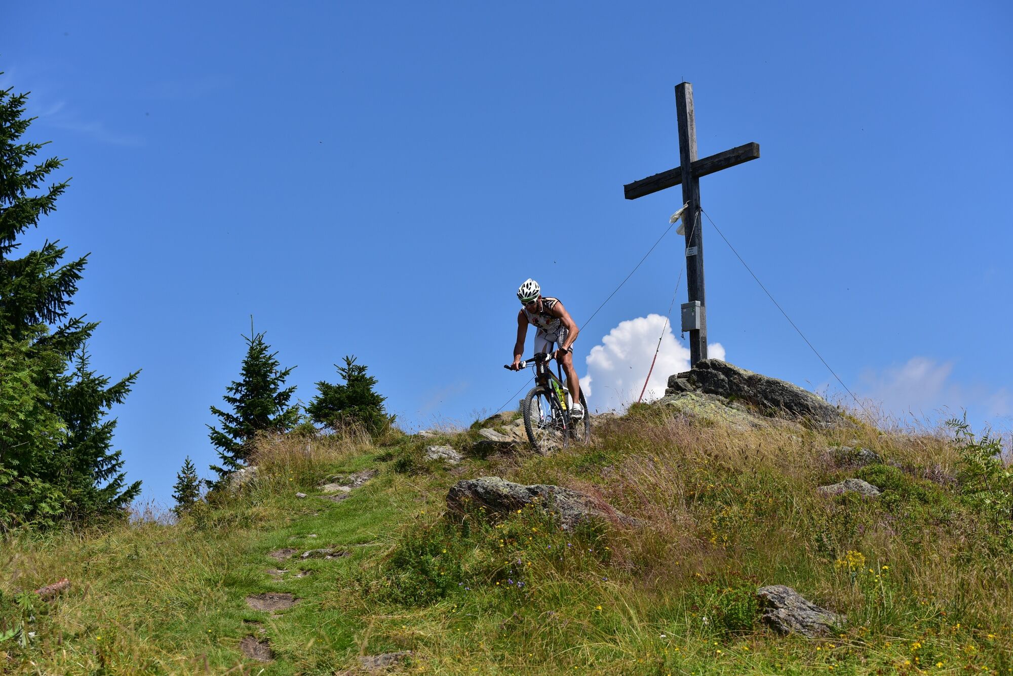
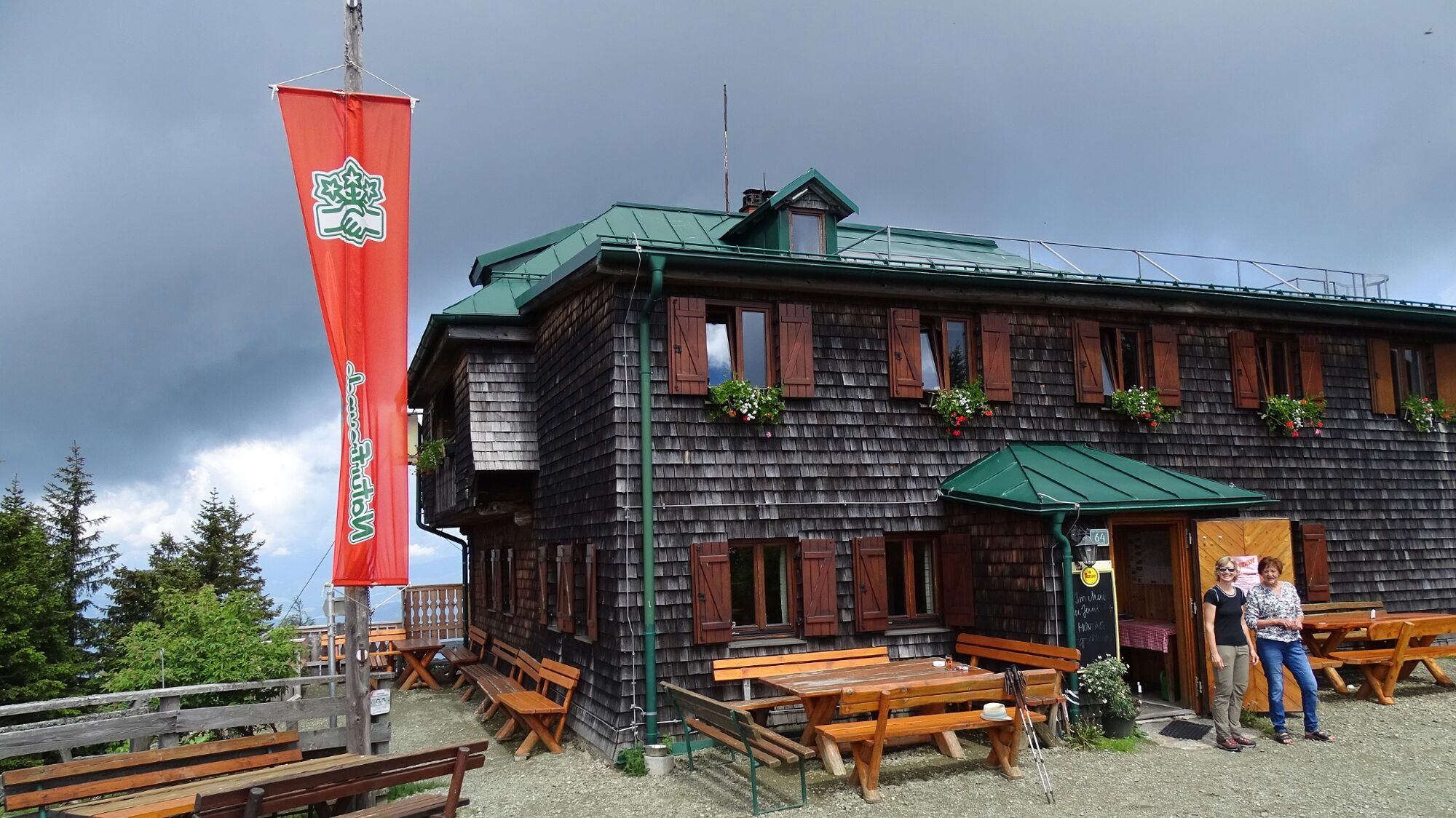
This MTB tour on the Steinplan is especially popular for the Murtaler, because there is the possibility to ride up to the summit cross at 1,670 meters. At the refuge you will be spoiled culinary on the beautiful terrace and can enjoy the unique panoramic view in the Erlebnisregioin Murtal. From the beginning of May to the end of October the hut is continuously managed. Otherwise, a beautiful lounge with a view of the summit cross invites you to linger.
- Teškoća
-
teška
- Vrednovanje
-
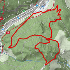
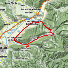
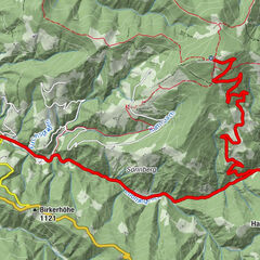
- Wegverlauf
-
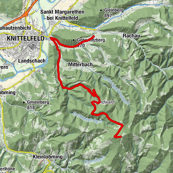
Fuchs und HenneGobernitz2,8 kmKnittelfeld2,8 kmSteinplan (1.670 m)14,8 kmKnittelfeld26,5 kmGobernitz26,5 kmFuchs und Henne29,7 km
- Beste Jahreszeit
-
sijveljožutrasvilipsrpkolrujlisstupro
- Höchster Punkt
- 1.652 m
- Zielpunkt
-
Gobernitz in St. Margarethen
- Höhenprofil
-


- Autor
-
Die Tour MTB - Tour 67d - Steinplan starting from Gobernitz wird von outdooractive.com bereitgestellt.
GPS Downloads


Opće informacije
Einkehrmöglichkeit
Weitere Touren in den Regionen